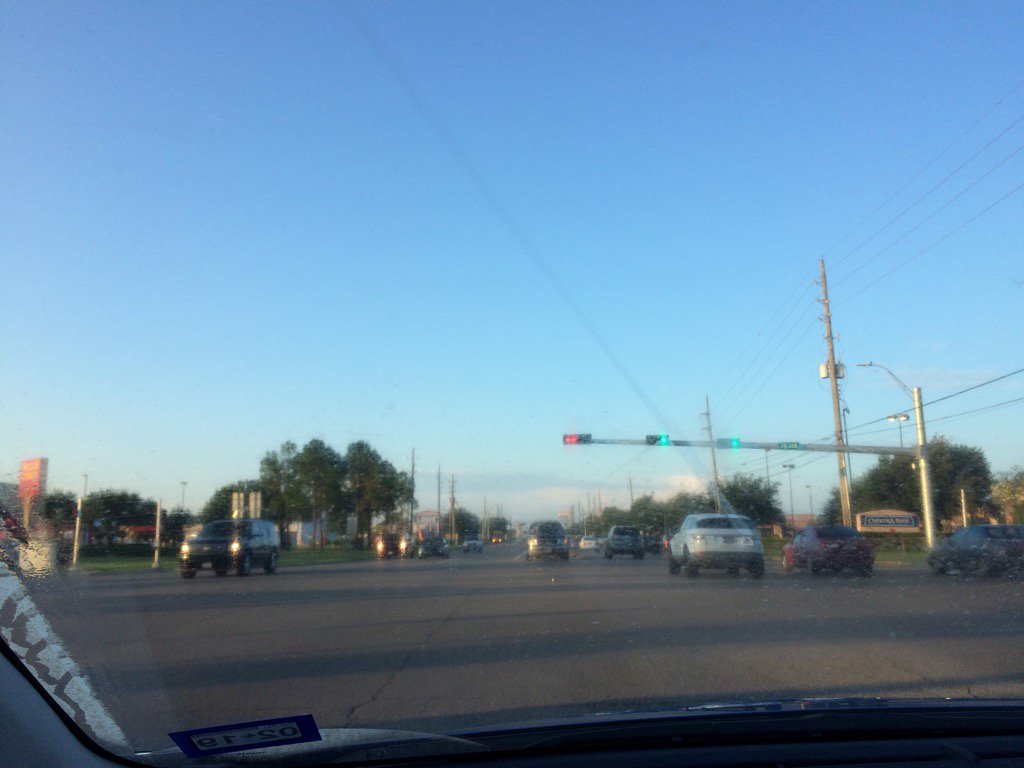
Northwest Houston, TX, during the early morning.
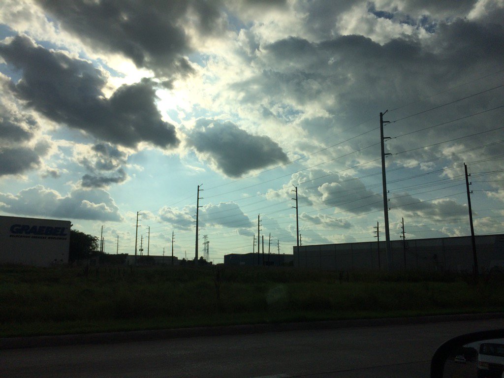
Northwest Houston, TX, during the early evening.
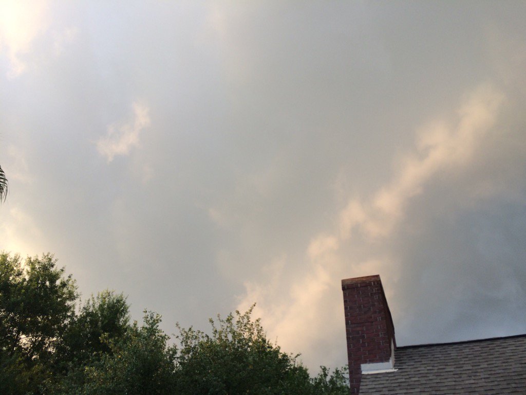
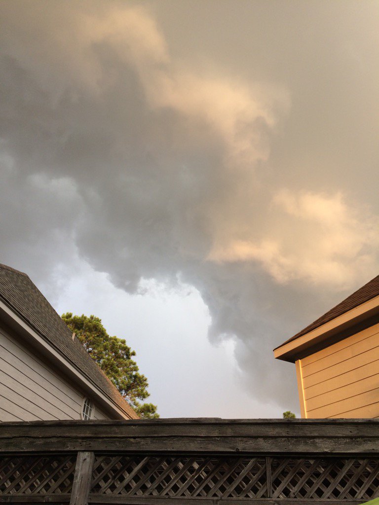
Northwest Houston, TX, during the late evening.
Summary: The day was sunny, warm, and mostly dry. There looked to be a few isolated light to moderately heavy showers and maybe thunderstorms with a few scattered heavy showers, or thunderstorms on the east, south, maybe parts of the west side of Houston, TX. I didn't see any rain until the late evening at my house in northwest Houston, TX when a moderate shower, or maybe showers passed through along a line of light to heavy showers and thunderstorms that passed from the east side going west, through most of Houston, TX. The sky went from mostly clear during the morning to partly cloudy during the afternoon, then mostly cloudy during the evening and maybe clear during the night. The wind speeds were calm with moderate to moderately strong gusts with maybe some really strong gusts. It felt warm during the morning, evening, and night. It felt very warm, almost hot during the afternoon. There was a hazardous weather statement issued by NOAA for the Houston, TX area, for today. There were no other watches, warnings, alerts, advisories, or weather statements issued for the Houston, TX area, that I know of. The low temps looked to be in the 70's and the high temps looked to be in the 80's, or maybe 90's, or maybe only some 90's, for the Houston, TX area.
Locations: Northwest Houston, TX.
Thoughts: It is starting to feel hot again. And it looks like the rain is gone for now, for the Houston, TX area. There is still a chance for rain, for the Houston, TX area early next week, but a break for now.
Hazardous Weather Outlook
Hazardous Weather Outlook
National Weather Service Houston/Galveston TX
610 AM CDT Tue Jun 6 2017

TXZ163-164-176>179-195>200-210>214-226-227-235>238-071300-
Austin-Brazoria-Brazos-Burleson-Chambers-Colorado-Fort Bend-
Galveston-Grimes-Harris-Houston-Jackson-Liberty-Madison-Matagorda-
Montgomery-Polk-San Jacinto-Trinity-Walker-Waller-Washington-
Wharton-
610 AM CDT Tue Jun 6 2017

This hazardous weather outlook is for portions of Southeast Texas..

.DAY ONE...Today and Tonight

There is a chance of thunderstorms through this afternoon with
best chances along and east of the Highway 59/Interstate 69
corridor. Isolated strong storms could produce gusty winds and
locally heavy rainfall.

.DAYS TWO THROUGH SEVEN...Wednesday through Monday

No hazardous weather is expected at this time.

.SPOTTER INFORMATION STATEMENT...

Spotter activation is not anticipated.

$$
No comments:
Post a Comment