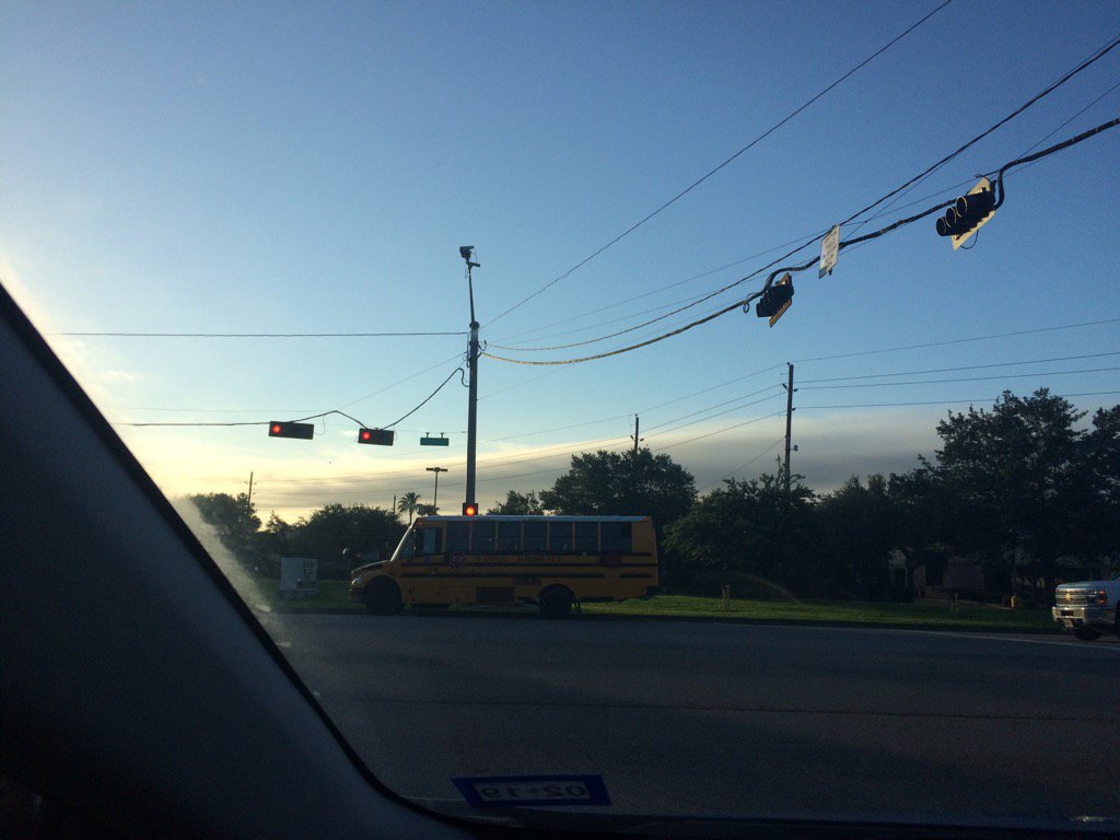
Northwest Houston, TX, during the early morning.
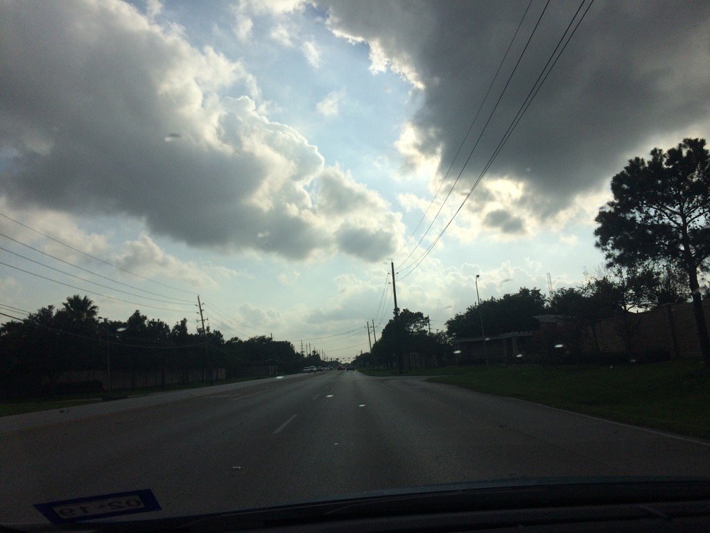
Northwest Houston, TX, during the early evening.
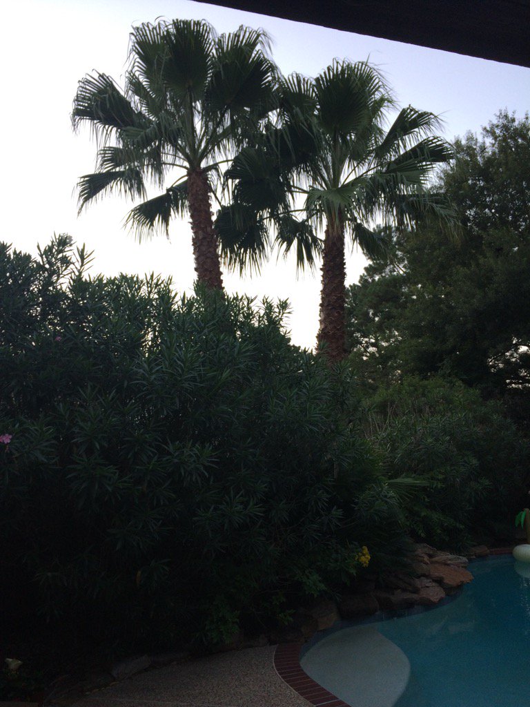
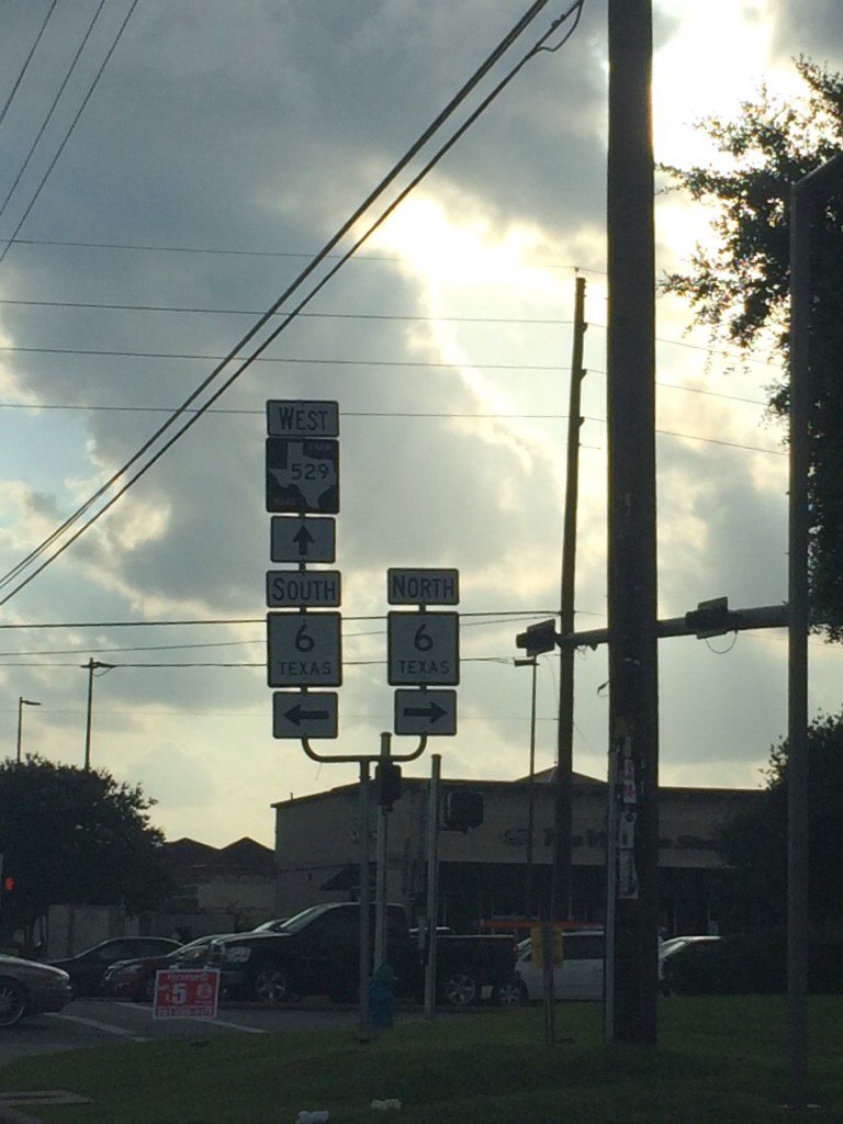
Northwest Houston, TX, during the late evening.
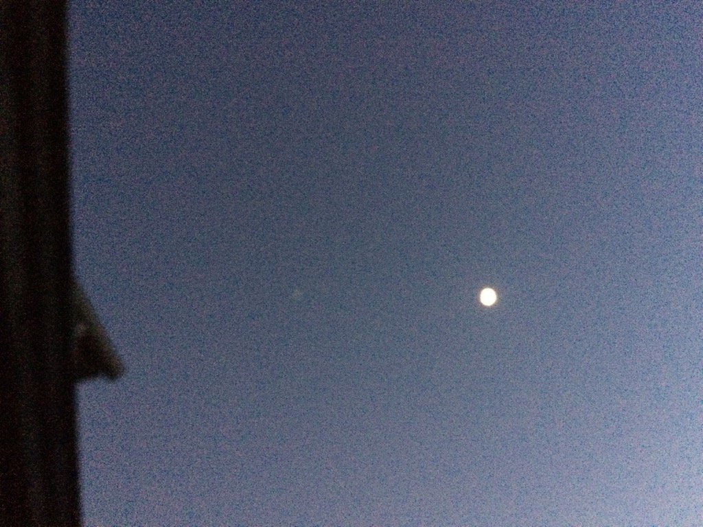
Northwest Houston, TX, during the early night.
Summary: The day was hot, mostly cloudy, and a little wet. Light to moderately heavy with maybe some heavy isolated showers and thunderstorms were scattered across the Houston, TX area, during the morning, afternoon, and evening. Light sprinkles were falling when I was outside of the animal hospital where I work in northwest Houston, TX, during the mid, or maybe late morning. A series of light to moderate brief showers with one long lasting moderately heavy shower passed over the animal hospital where I work, during the early afternoon. I saw another light sprinkle on my way home from work, during the early evening. I didn't see anymore rain after that. Alto stratus to stratocumulus clouds with some nimbus clouds, looked to cover most of the sky, during the morning, afternoon, and evening. The sky looked to have become clear, during the early night. The wind speeds looked to be calm with gentle to moderate gusts with some occasional moderately strong gusts. It felt warm during the morning, late evening, and night.. It felt hot during the afternoon. It felt very warm during the early evening. There was a hazardous weather outlook issued for the Houston, TX area, for today, by NOAA. There were no other watches, warnings, alerts, weather statements, or advisories, that I know of. The low temps looked to be in the 70's and the high temps looked to be in the 90's, for the Houston, TX area.
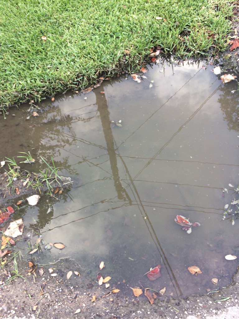
Storm Summary: I didn't hear about, hear, or see any thunder, or lightning. I didn't hear about, or see any flooding, just some small puddles and brief wet roads. I didn't hear about, or see any storm damage.
Locations: Northwest Houston, TX.
Thoughts: It was a pretty hot day, but at least I got to see some rain. Houston, TX got more rain that I was expecting to see.
Hazardous Weather Outlook
Hazardous Weather Outlook
National Weather Service Houston/Galveston TX
837 AM CDT Thu Jun 29 2017

TXZ163-164-176>179-195>200-210>214-226-227-235>238-301300-
Austin-Brazoria-Brazos-Burleson-Chambers-Colorado-Fort Bend-
Galveston-Grimes-Harris-Houston-Jackson-Liberty-Madison-Matagorda-
Montgomery-Polk-San Jacinto-Trinity-Walker-Waller-Washington-
Wharton-
837 AM CDT Thu Jun 29 2017

This hazardous weather outlook is for portions of Southeast Texas..

.DAY ONE...Today and Tonight

Showers and thunderstorms along the coast are expected to scatter
out this afternoon. Locally heavy rainfall producing flooding is
possible mainly east of the highway 59 corridor. Along the coast
at the beaches rip currents are also possible.

.DAYS TWO THROUGH SEVEN...Friday through Wednesday

No hazardous weather is expected at this time.

.SPOTTER INFORMATION STATEMENT...

Spotter activation may be required.

$$
No comments:
Post a Comment