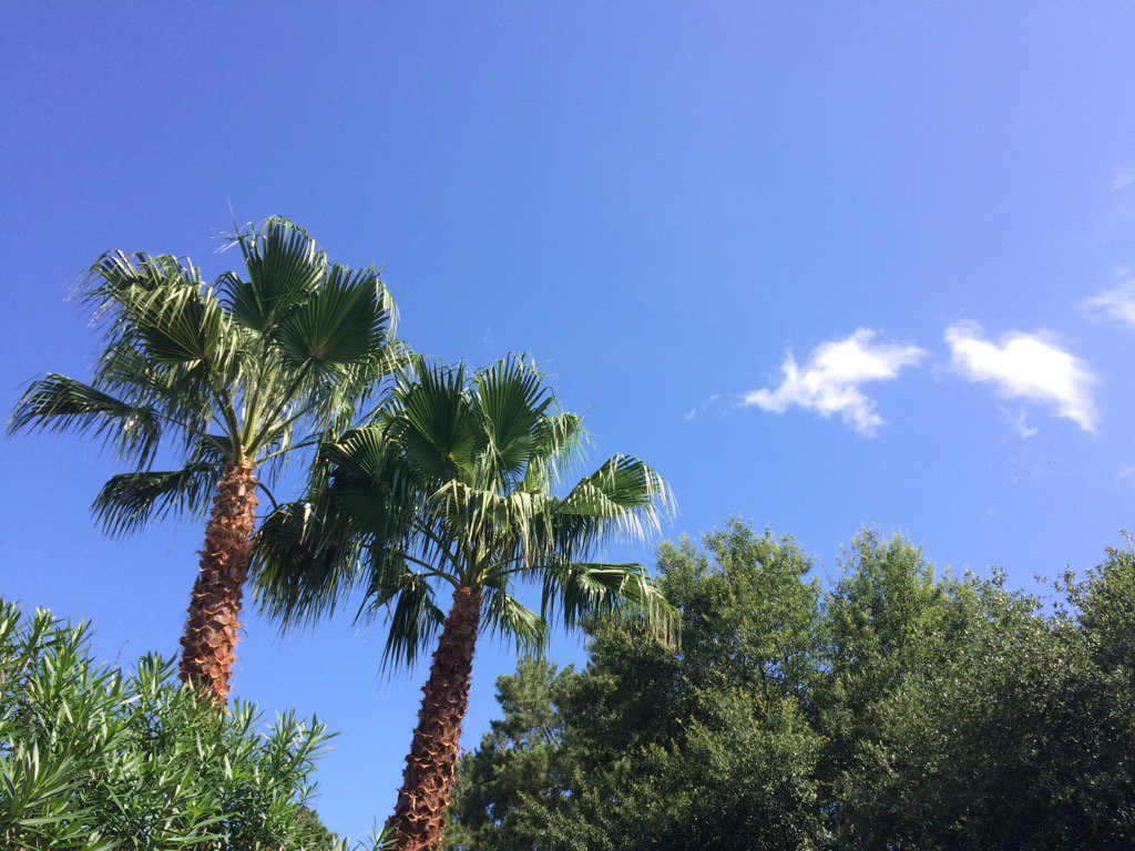
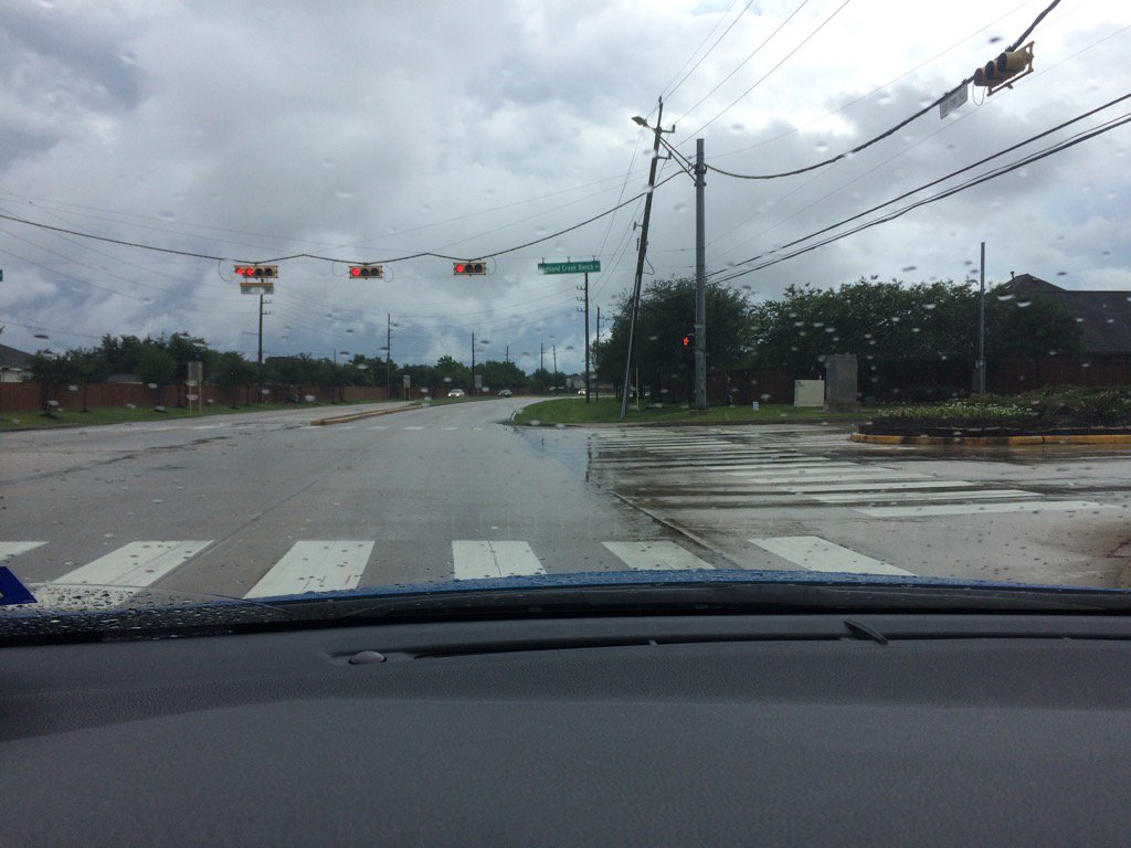
Northwest Houston, TX, during the late morning.
Northwest Houston, TX, during the early afternoon.
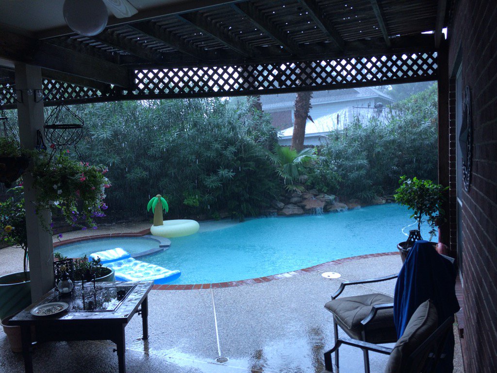
Northwest Houston, TX, during the mid-afternoon.
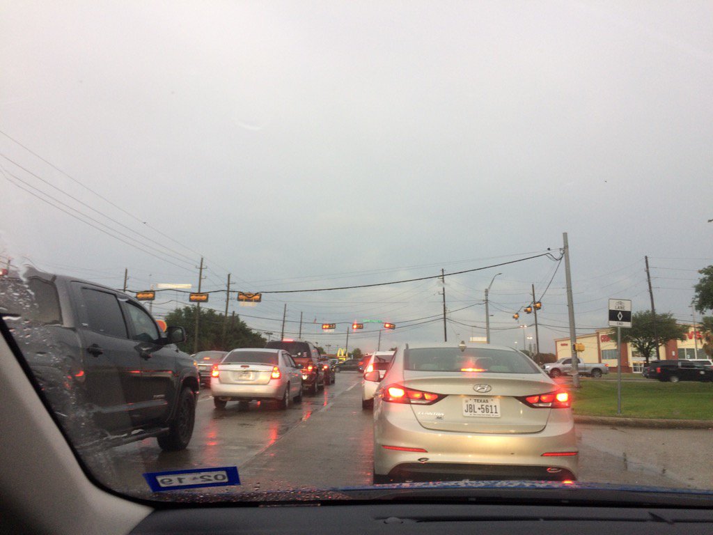
Katy, TX, during the mid-afternoon.
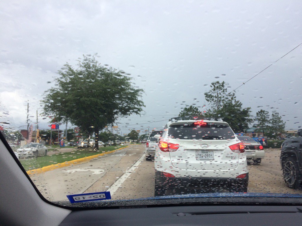
Katy, TX, during the late afternoon.
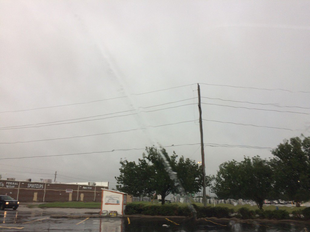
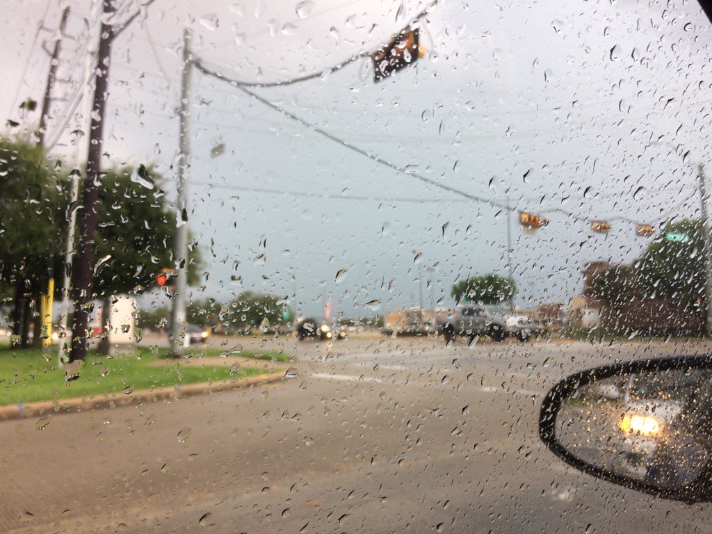
Katy, TX during the early eveniing.
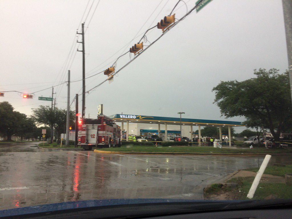
Northwest Houston, TX, during the early evening. (I am not sure if this incident was storm related, or not.)
Cypress, TX, during the early evening.
Northwest Houston, TX, during the early night.
Katy, TX, I think, during the early evening. (Sorry that the video is sideways.)
Summary: The day was warm, wet, and mostly cloudy. Isolated to scattered showers and thunderstorms moved from south to north and from east to west across the Houston, TX area, during the morning, afternoon, evening, and maybe night. I witnessed a thunderstorm at my house during the early morning and early and mid-afternoon. A thunderstorm passed by when I was in Katy, TX during the early evening. Light to moderate rain followed me from Katy, TX to my house in northwest Houston, TX, during the evening. That was the last rain shower/storm that I saw, was during the evening. The sky stayed mostly cloudy, turning cloudy when it rained. The wind speeds were calm with moderate to moderately strong wind gusts. It felt warm during the early morning, thru the night. There were several flash flood watches, warnings, and advisories. There was a hazardous weather statement issued by NOAA for flooding, funnel clouds, and possible hail. The low temps looked to be in the 70's and the high temps looked to be in the 80's. There were reports of flooded roads. I didn't see any flooding. There were no reports of storm damage, that I know of.
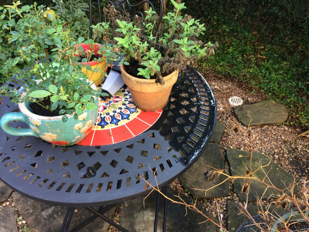
Locations: Northwest Houston, TX. Cypress, TX, and Katy, TX.
Thoughts: I enjoy seeing the line of showers and thunderstorms move over the Houston, TX area.
Hazardous Weather Outlook
Hazardous Weather Outlook
National Weather Service Houston/Galveston TX
513 AM CDT Sun Jun 4 2017

TXZ163-164-176>179-195>200-210>214-226-227-235>238-051015-
Austin-Brazoria-Brazos-Burleson-Chambers-Colorado-Fort Bend-
Galveston-Grimes-Harris-Houston-Jackson-Liberty-Madison-Matagorda-
Montgomery-Polk-San Jacinto-Trinity-Walker-Waller-Washington-
Wharton-
513 AM CDT Sun Jun 4 2017

This hazardous weather outlook is for portions of Southeast Texas..

.DAY ONE...Today and Tonight

A slow moving upper level disturbance will bring periods of
showers and thunderstorms to the region today. Some of the rain
will be locally heavy and minor flooding will be possible. Some of
the stronger storms could produce a brief funnel cloud, frequent
cloud to ground lightning and wind gusts around 35 mph.

.DAYS TWO THROUGH SEVEN...Monday through Saturday

An upper level disturbance will bring scattered showers and
thunderstorms to the region. Some of the storms could again
produce locally heavy rain and minor flooding. The stronger storms
could again produce brief gusty winds.

A chance of thunderstorms will linger on Tuesday with again the
stronger storms capable of producing gusty winds.

.SPOTTER INFORMATION STATEMENT...

Spotter activation will not be needed.

$$
No comments:
Post a Comment