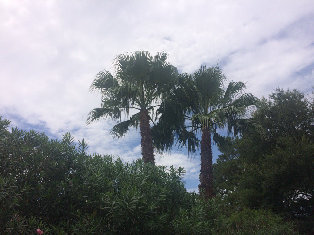
Northwest Houston, TX, during the early morning.
Northwest Houston, TX, during the early afternoon.
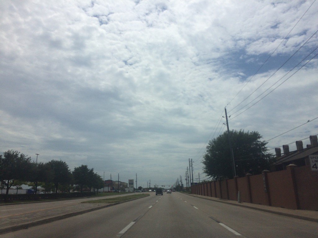
Northwest Houston, TX, during the mid-afternoon.
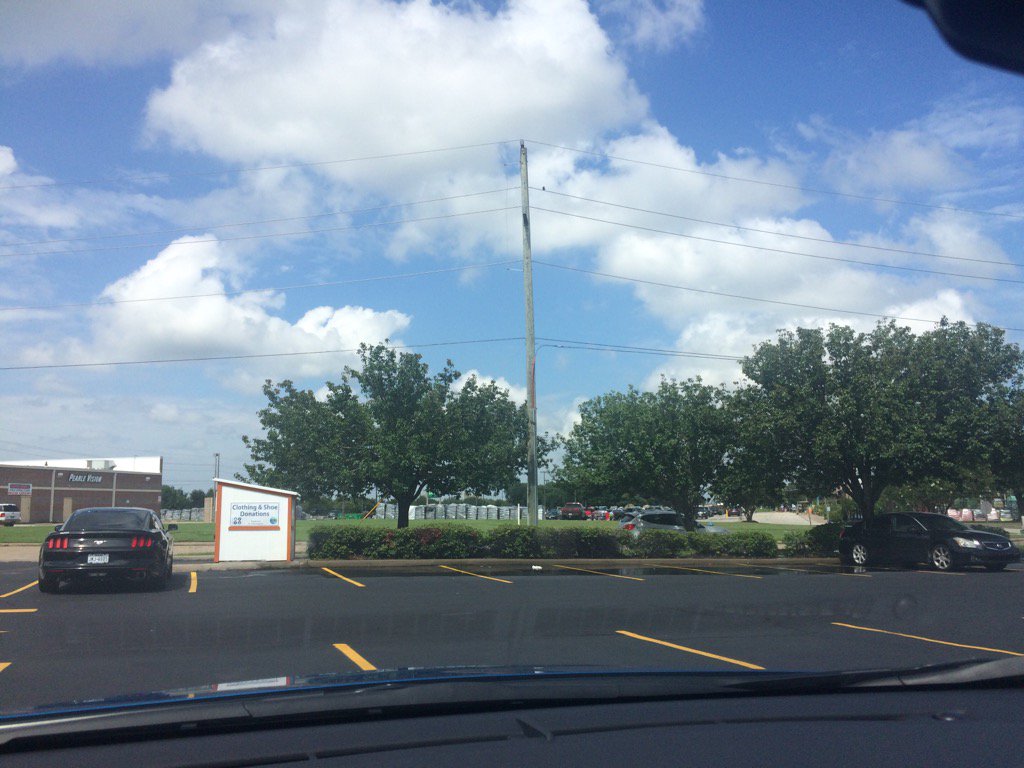
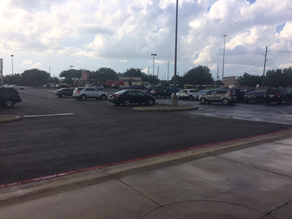
Katy, TX, during the mid-afternoon.
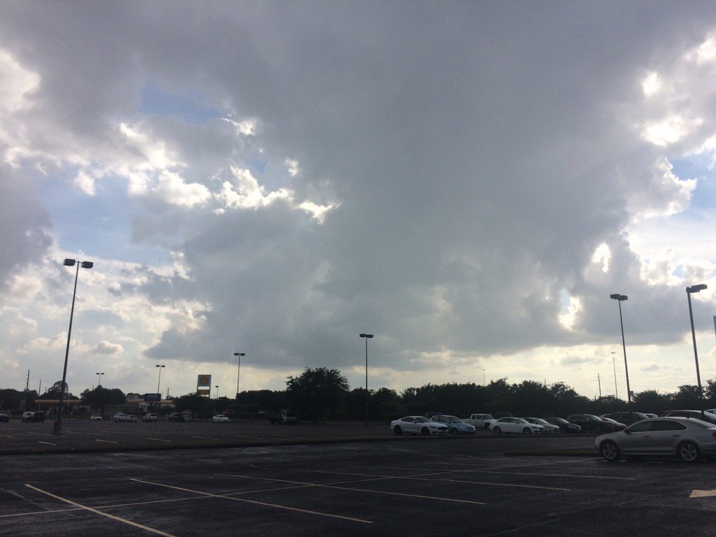
Katy, TX, during the early evening.
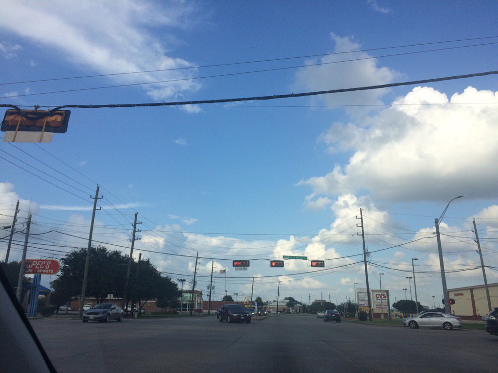
Cypress, TX, during the early evening.
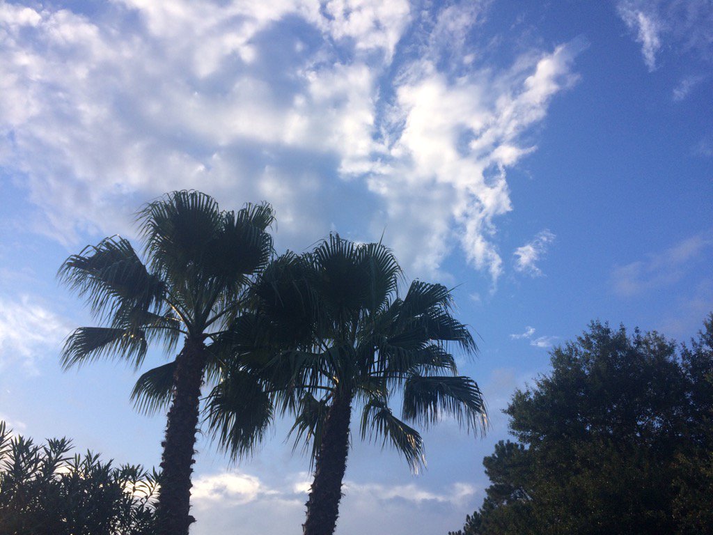
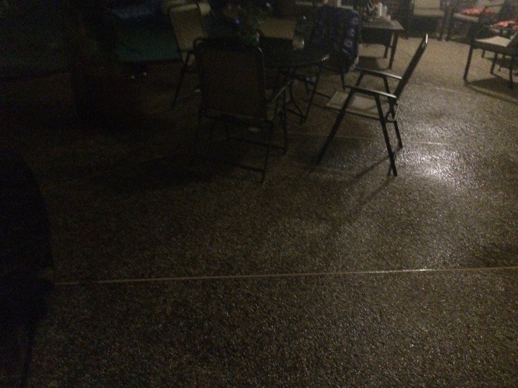
Northwest Houston, TX, during the late evening.
Summary: The day was warm, mostly cloudy, and wet. Light to heavy showers and thunderstorms were scattered across the Houston, TX area, during the morning, afternoon, evening, and night. A few light to moderately heavy with maybe some heavy showers and thunderstorms looked to have passed over my house, during the early and maybe mid-morning. I didn't see anymore rain until the early evening when I was volunteering at a Petsmart in Katy, TX, during the early evening. I didn't see anymore rain after that. Mainly stratus with alto stratus and some nimbus clouds covered most of the sky during the morning, afternoon, evening, and night. The wind speeds were calm with gentle gusts and maybe some moderate gusts. It felt warm during the morning, afternoon, evening, and night. It may have felt hot during the afternoon, but I don't remember. There was an heat advisory issued for the early and mid-afternoon. There was also a hazardous weather outlook, issued for today, for Houston, TX, by NOAA. There were no other watches, warnings, advisories, alerts, or weather statements issued for the Houston, TX area, that I know of. The low temps looked to be in the 70's and the highs looked to be in the 80's with maybe some 90's, for the Houston, TX area.
Storm summary: Just a few regular showers and thunderstorms that left nothing more than some wet roads and a few small puddles. I didn't hear about any flooding, or storm damage.
Locations: Northwest Houston, TX, Cypress, TX, Katy, TX
Thoughts: I am really enjoying this wet weather that Houston, TX has been having. I hope it continues!
Hazardous Weather Outlook
Hazardous Weather Outlook
National Weather Service Houston/Galveston TX
607 AM CDT Sun Jun 25 2017

TXZ163-164-176>179-195>200-210>214-226-227-235>238-261115-
Austin-Brazoria-Brazos-Burleson-Chambers-Colorado-Fort Bend-
Galveston-Grimes-Harris-Houston-Jackson-Liberty-Madison-Matagorda-
Montgomery-Polk-San Jacinto-Trinity-Walker-Waller-Washington-
Wharton-
607 AM CDT Sun Jun 25 2017

This hazardous weather outlook is for portions of Southeast Texas..

.DAY ONE...Today and Tonight

Scattered to occasionally numerous showers and thunderstorms are
expected today. With deep moisture in place and slow storm
movement expected, localized heavy rainfall will be a possibility
in the stronger cells. Several inches of rain could fall in a
short time period...quickly running off to produce street
and small stream flooding.

.DAYS TWO THROUGH SEVEN...Monday through Saturday

Periods of showers and thunderstorms should persist into the
middle of the week. With a similar weather pattern in place, we
will continue to monitor the possibility for some localized heavy
rainfall.

.SPOTTER INFORMATION STATEMENT...

Spotter activation is not anticipated at this time.

$$
No comments:
Post a Comment