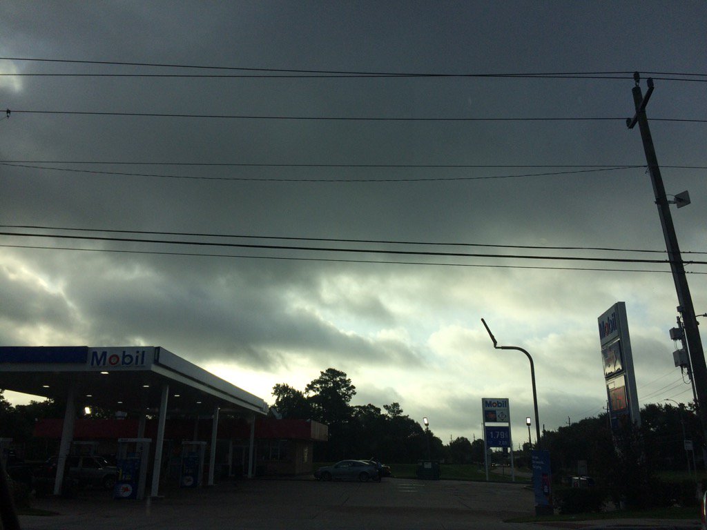
Northwest Houston, TX. during the early morning.
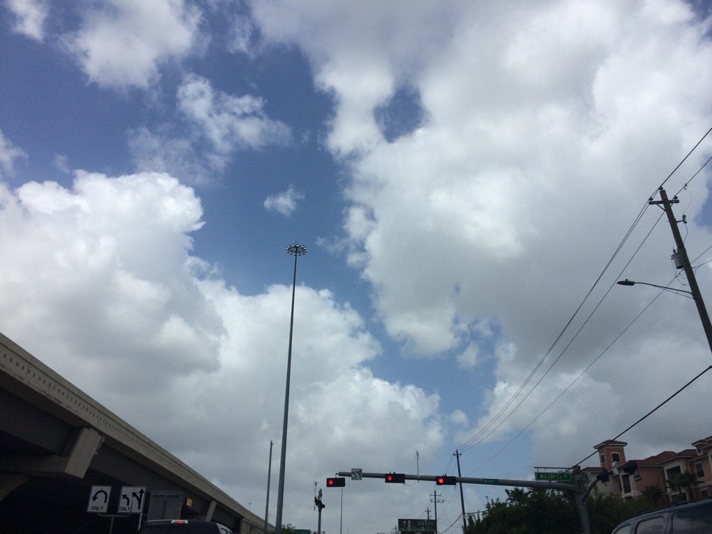
West Houston, TX, during the early afternoon.
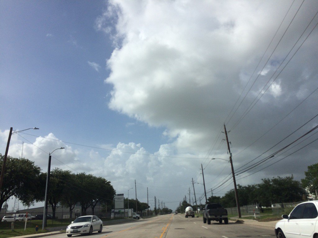
Northwest Houston, TX, during the early evening.
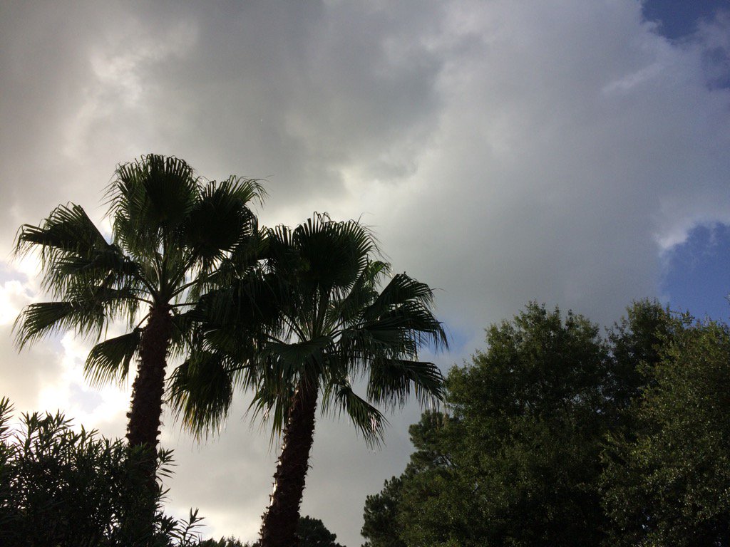
Northwest Houston, TX, during the late evening.
Northwest Houston, TX, during the early night.
Summary: The day was hot, mostly cloudy, and windy. Light to moderate with maybe some moderately heavy to heavy showers and some possible thunderstorms were isolated across the Houston, TX area, during the morning, afternoon, evening, and maybe night. I felt a few sprinkles at the animal hospital, where I work in northwest Houston, TX, during the late afternoon. Then I felt some more sprinkles at my house in northwest Houston, TX, during the late evening. I didn't feel, see, or hear anymore rain drops after that. Stratus and stratocumulus clouds with maybe some nimbus clouds, looked to cover most of the sky, during the morning, afternoon, and evening. Stratus, or maybe alto stratus and stratocumulus, or maybe alto stratocumulus clouds, looked to cover most of the sky, during the night. The wind speeds looked to be calm with gentle to moderate gusts with some moderately strong gusts. It felt warm, during the early and mid-morning, and night. It felt very warm during the late morning and evening. It felt hot during the afternoon. There was a hazardous weather outlook issued for Houston, TX, by NOAA, for today. There were no other watches, warnings, alerts, advisories, or weather statements, or outlooks issued for the Houston, TX area, that I know of. The low temps looked to be in the 70's and the high temps looked to be in the 90's, for the Houston, TX area.
Locations: Northwest and west Houston, TX, Cypress, TX.
Thoughts: Well at least I got to see some rain today. It is expected to get hotter for the Houston, TX area. So I am not excited about that. I hope this weeks wet weather wasn't the last for this summer.
Hazardous Weather Outlook
Hazardous Weather Outlook
National Weather Service Houston/Galveston TX
546 AM CDT Fri Jun 30 2017

TXZ163-164-176>179-195>200-210>214-226-227-235>238-011100-
Austin-Brazoria-Brazos-Burleson-Chambers-Colorado-Fort Bend-
Galveston-Grimes-Harris-Houston-Jackson-Liberty-Madison-Matagorda-
Montgomery-Polk-San Jacinto-Trinity-Walker-Waller-Washington-
Wharton-
546 AM CDT Fri Jun 30 2017

This hazardous weather outlook is for portions of Southeast Texas..

.DAY ONE...Today and Tonight

Hot weather will be on tap with heat index readings exceeding 95
by 11 am and ranging from 100 to 106 throughout the afternoon. Along
the Gulf coast at the beaches strong rip currents will continue.


.DAYS TWO THROUGH SEVEN...Saturday through Thursday
The hot weather will continue this week with afternoon heat index
readings frequently 100 to 106 degrees. Otherwise no hazardous
weather is expected at this time.

.SPOTTER INFORMATION STATEMENT...

Spotter activation not expected.

$$
No comments:
Post a Comment