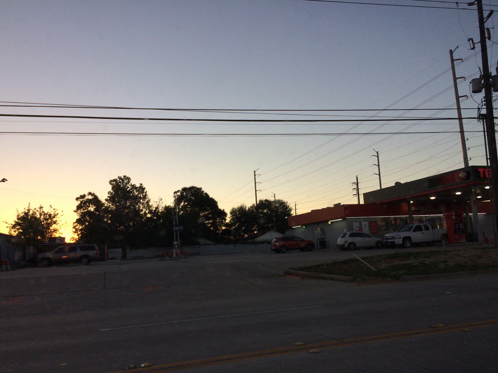
West Houston, TX, during the early morning.
West Houston, TX, during the early evening.
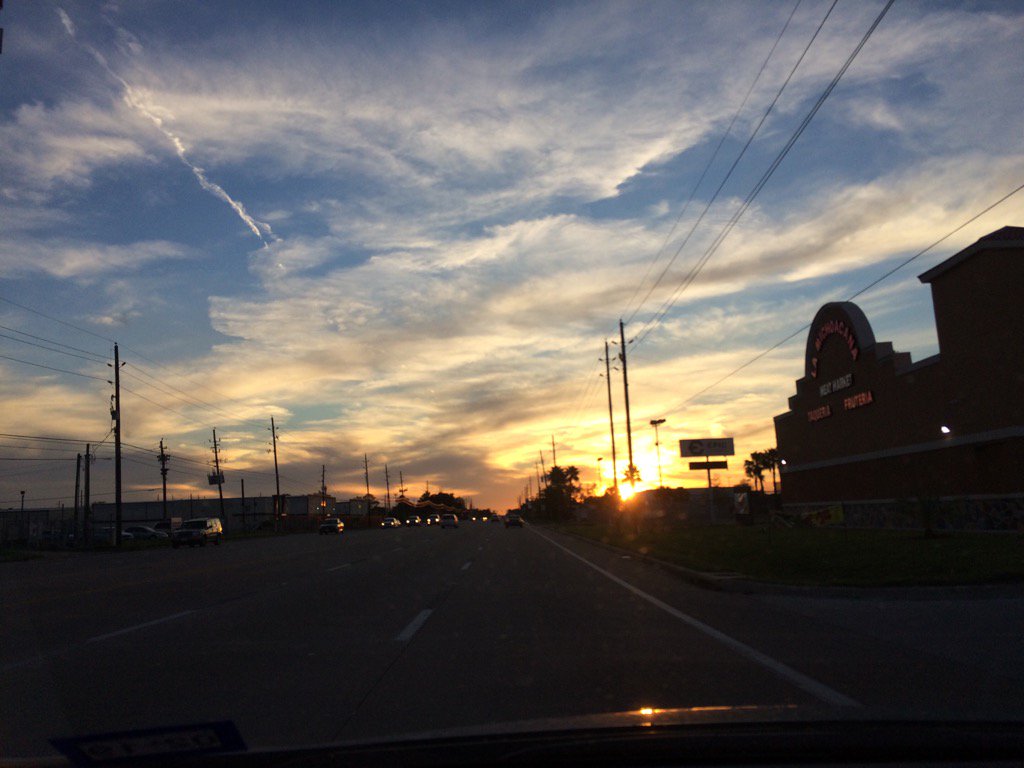
Northwest Houston, TX, during the late evening.
Summary: The day was sunny, dry, and mostly calm. No rain. I didn't see, hear, or feel any rain drops anywhere in, or near the Houston, TX area, during anytime of the day. The wind speeds were calm with moderate to moderately strong gusts. The sky was mostly clear during the morning and then clouds started to roll in during the afternoon and cover most of the sky by the evening and during the night. It felt cool during the morning and then warm during the afternoon and a little cool during the evening and night. There was a fire weather statement and an air quality alert issued for the Houston, TX area. I didn't hear about, or see any other watches, warnings, advisories, or weather statements being issued for the Houston, TX area. The low temps were in the 50's with maybe a few 40's and the high temps were in the 70's, for the Houston, TX area.
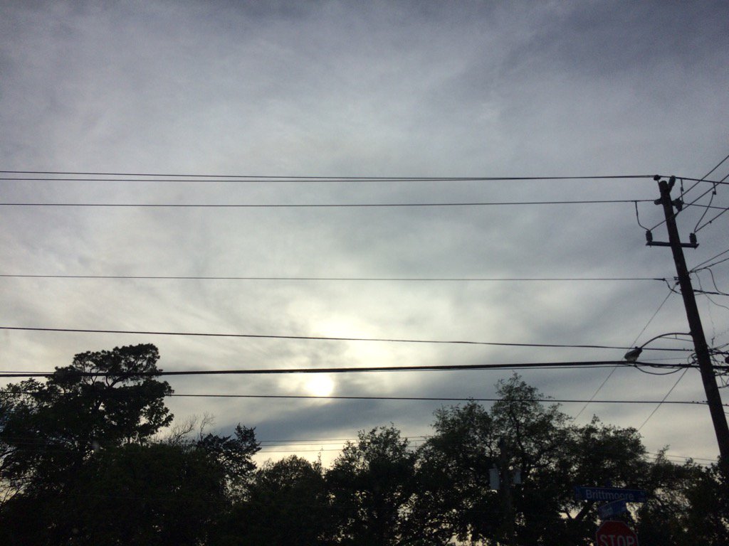
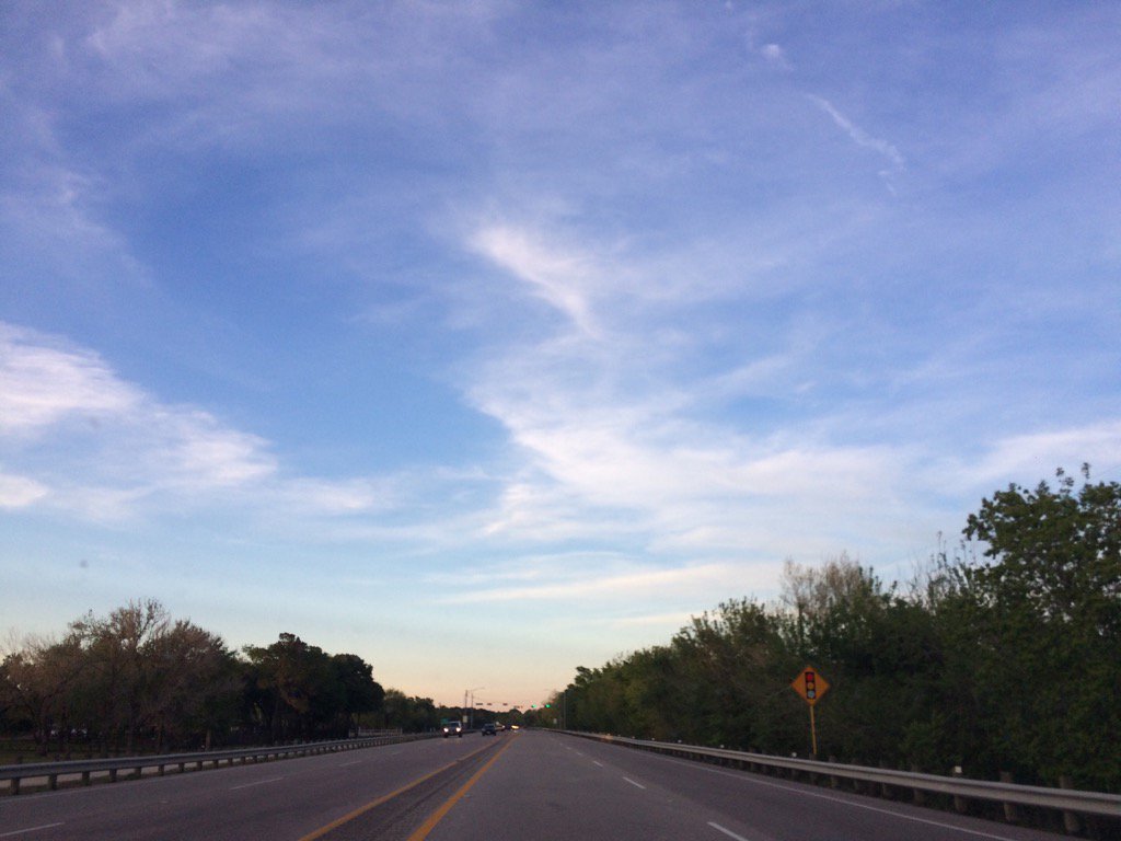
Locations: Northwest and west Houston, TX.
Thoughts: The dry air felt good. I enjoyed it.
Area Forecast Discussion
Issued by NWS Houston/Galveston, TX
Issued by NWS Houston/Galveston, TX
Versions: 1 2 3 4 5 6 7 8 9 10 11 12 13 14 15 16 17 18 19 20 21 22 23 24 25 26 27 28 29 30 31 32 33 34 35 36 37 3839 40 41 42 43 44 45 46 47 48 49 50
000
FXUS64 KHGX 070259
AFDHGX

Area Forecast Discussion
National Weather Service Houston/Galveston TX
959 PM CDT Thu Apr 6 2017

.UPDATE...
The previous forecast appears to be on track. Only minor tweaks
were made to account for current observations. Expect calm winds and
dry conditions overnight as surface high pressure settles in
overhead. Onshore flow will return tomorrow as the high pressure
slides eastward.

11

&&

.AVIATION...
VFR.

45

&&

.PREV DISCUSSION... /ISSUED 358 PM CDT Thu Apr 6 2017/

DISCUSSION...
The surface high pressure ridge was centered over
the mid Texas coastal plain at 3:00 PM. Very dry conditions have
settled over the area. The ridge will generally drift eastward
tonight and Friday and expect onshore winds to begin returning
Gulf moisture by midday Friday. Temperatures on Friday will be a
few degrees warmer than what occurred today.

Over the first half of the weekend, an upper level shortwave
ridge will move across Southeast Texas. This will result in above
normal temperatures. The afternoon highs should reach into the
lower 80s on Saturday and possibly into the mid 80s on Sunday.

As the ridge moves eastward, an upper level storm system will move
across the Rockies into the plains. The models are differing on
the strength of the upper level system by Sunday night but the
GFS, ECMWF, and Canadian all generally have the center of the
system moving through the northern plains into the Great Lakes
Sunday night and Monday. The GFS and ECMWF both keep the surface
front well to the north of the area Monday through mid week. By
the mid week, both models were showing signs of an upper level
ridge beginning to develop over the Gulf of Mexico with a more
southwesterly flow from the west coast through the Great Lakes.
The GFS keeps the ridge over the Gulf through the end of the week
while the ECMWF tries to break the ridge down. Even with the
differences in the upper level pattern, both do keep rain chances
from Wednesday through the end of the forecast period.

40

MARINE...
Winds will remain out of the northeast through the
remainder of the day around 5 kts over the nearshore waters, and
around 10 kts over the offshore waters. Seas will also remain on
the lower side between 1-2 feet nearshore and 2-3 feet offshore.
Expect onshore flow to return late Thursday night into Friday.
Winds will begin to pick up along the backside of the high
pressure system that begins to scoot east Friday. As winds begin
to increase in speed late in the weekend, caution flags may be
necessary.

Hathaway

FIRE WEATHER...
Relative humidity values currently in the low
twenties, will begin to rise late this afternoon, but winds will
continue to be fairly light around 5 to 10 mph. Winds on Friday
will increase to around 10 to 15 mph as they swing back around to
the southeast. Relative humidity values will also increase into
the lower to mid 30s on Friday.

Hathaway

&&

.PRELIMINARY POINT TEMPS/POPS...
College Station (CLL)      78  50  78  57  82 /   0   0   0   0   0
Houston (IAH)              80  51  78  58  81 /   0   0   0   0   0
Galveston (GLS)            75  63  76  66  76 /   0   0   0   0   0

&&

.HGX WATCHES/WARNINGS/ADVISORIES...
TX...NONE.
GM...NONE.
&&

$$

Discussion...11
Aviation/Marine...45
Air Quality Alert
TXZ213-237-238-080500-

AIR QUALITY ALERT MESSAGE
TEXAS COMMISSION ON ENVIRONMENTAL QUALITY
RELAYED BY NATIONAL WEATHER SERVICE HOUSTON/GALVESTON TX
136 PM CDT Thu Apr 6 2017

...OZONE ACTION DAY FOR FRIDAY...

THE TEXAS COMMISSION ON ENVIRONMENTAL QUALITY (TCEQ)...HAS ISSUED AN
OZONE ACTION DAY FOR THE HOUSTON...GALVESTON...AND BRAZORIA AREAS FOR
FRIDAY APRIL 7TH.

ATMOSPHERIC CONDITIONS ARE EXPECTED TO BE FAVORABLE FOR PRODUCING
HIGH LEVELS OF OZONE POLLUTION IN THE HOUSTON...GALVESTON AND
SURROUNDING AREAS ON FRIDAY. YOU CAN HELP PREVENT OZONE POLLUTION BY
SHARING A RIDE...WALKING...RIDING A BICYCLE...TAKING YOUR LUNCH TO
WORK...AVOIDING DRIVE THROUGH LANES...CONSERVING ENERGY AND KEEPING YOUR
VEHICLE PROPERLY TUNED.

FOR MORE INFORMATION ON OZONE:

OZONE: THE FACTS (WWW.TCEQ.TEXAS.GOV/AIRQUALITY/MONOPS/OZONEFACTS.HTML)
EPA AIR NOW:
(WWW.AIRNOW.GOV/INDEX.CFM?ACTION=AIRNOW.LOCAL_CITY&CITYID=236)
TAKE CARE OF TEXAS: (WWW.TAKECAREOFTEXAS.ORG/AIR/AIRQUALITY)

$$
No comments:
Post a Comment