Northwest Houston, TX, during the mid-morning.
Northwest Houston, TX, during the late morning.
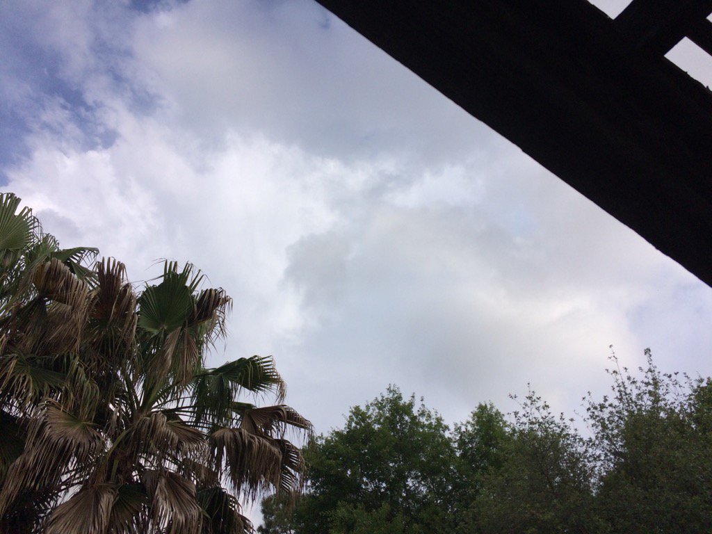
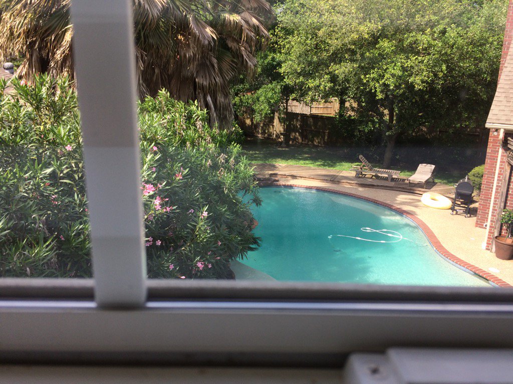
Northwest Houston, TX, during the early afternoon.
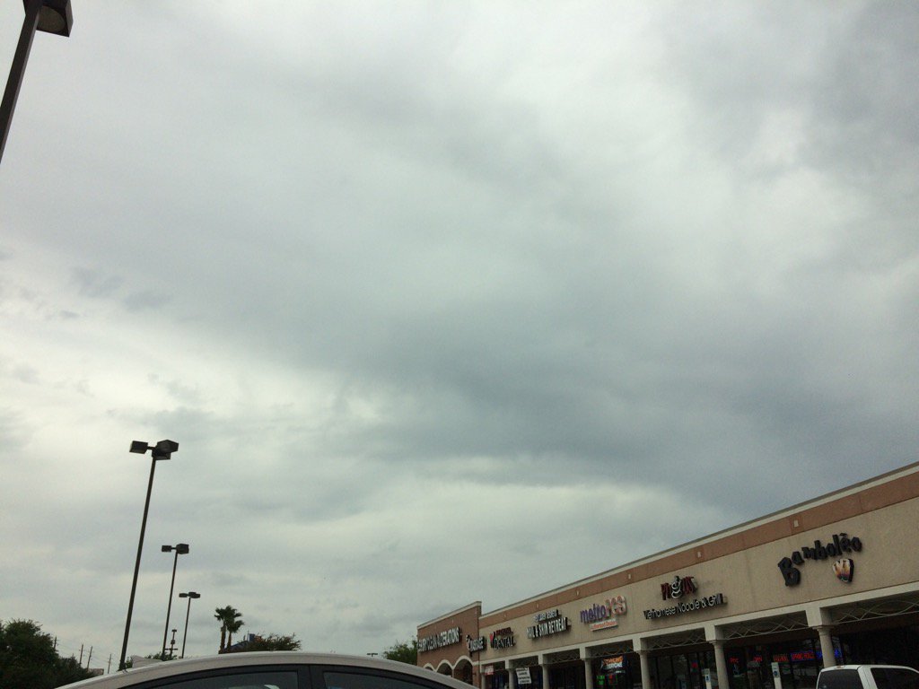
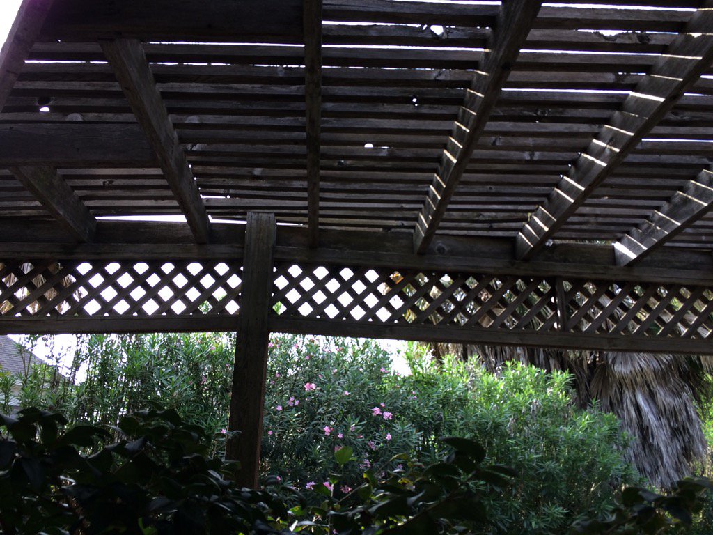
Northwest Houston, TX, during the mid-afternoon.
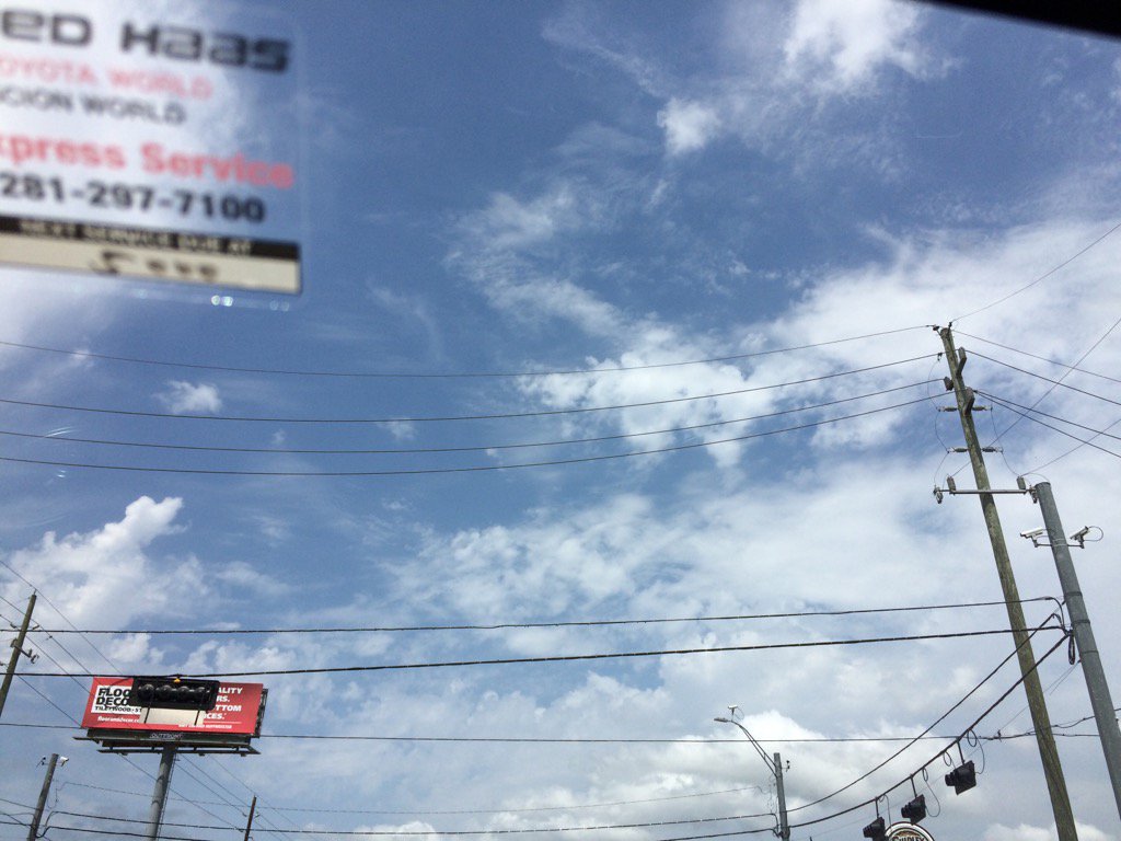
Northwest Houston, TX, during the late afternoon.
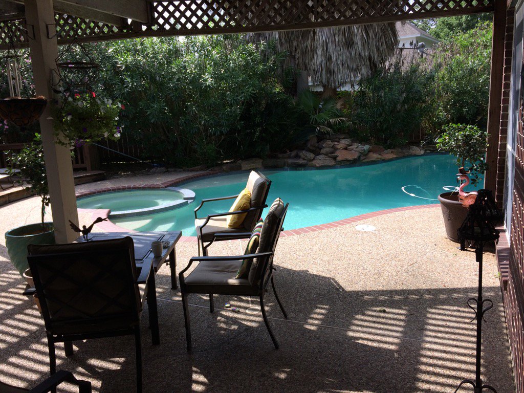
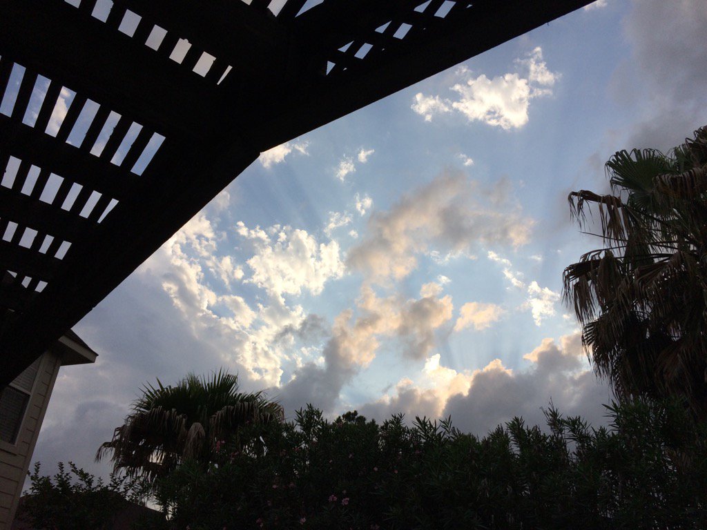
Northwest Houston, TX, during the early evening.
Northwest Houston, TX, during the late evening.
Summary: The day was warm, sunny, and mostly cloudy. Maybe some rain. I think I felt a few drops. I also saw a few small light showers on the TWC, Houston, TX radar. The wind speeds were calm with moderate to moderately strong gusts and some really strong 20 to maybe 25 mph gusts. There were no watches, warnings, advisories, or weather statements issued for the Houston, TX area, during anytime of the day, that I know of. The low temps were in the 60's and the high temps were in the 70's and 80's, for the Houston, TX area.
Location: Northwest Houston, TX.
Thoughts: I'm getting ready for another stormy day tomorrow.
Issued by NWS Houston/Galveston, TX
Versions: 1 2 3 4 5 6 7 8 9 10 11 12 13 14 15 16 17 18 19 20 21 22 23 24 25 26 27 28 29 30 31 32 33 34 35 36 37 3839 40 41 42 43 44 45 46 47 48 49 50
000
FXUS64 KHGX 020126
AFDHGX

Area Forecast Discussion
National Weather Service Houston/Galveston TX
826 PM CDT Sat Apr 1 2017


.AVIATION...
Long and messy TAFs. Updated just a few minutes ago to add VCSH
across the board given the rapid development of SHRA across the
area. One thunderstorm has already formed near PSX as 0035z.
Guidance appears to be underforecasting the ongoing precipitation
over SETX at least in the short term. As LLJ strengthens will
probably see more hit or miss showers develop and race NNW. Winds
have backed to the east and southeast as expected (which has
helped to feed moisture westward into the Hill country and limit
it`s northward advance through SETX) and will continue throughout
the night with CIGS lowering and widespread MVFR decks to
prevail. Showers and thunderstorms should pickup in coverage
dramatically Sunday morning after 12z with impacts to the Metro
area terminals 15-23z. Storms will be moving faster as the day
wears on and may begin at 20 knots and by noon storms maybe moving
at 35+ knots. At some point expect a more solid line to take
shape in close proximity to the warm front near CLL-UTS- DKR with
longer duration impacts for those areas. Dry slotting works into
the area late afternoon but may see a few storms develop along the
Pacific cold front as it marches through the region in the out
period and beyond.
45

&&

.PREV DISCUSSION... /ISSUED 401 PM CDT Sat Apr 1 2017/

DISCUSSION...

FLASH FLOOD WATCH IS IN EFFECT FROM LATE TONIGHT THROUGH
SUNDAY EVENING...

All of the elements required for active Sunday weather are
forecast to synchronize over southeastern Texas during the daytime
hours. High moisture flux into a developing warm front within a
highly sheared environment all suggest that tomorrow will be a
severe weather day. Other than a quick passing shortwave around
the upper low throwing off the timing of onset...expect the most
intense weather to occur mainly from around sunrise through (at
the latest) early Sunday evening. The focus for the highest
rainfall will be across the northern tier counties...or in the
vicinity of the best low to mid level convergence provided by the
northern-advancing warm frontal boundary. SPC has placed the
region under a (fairly infrequent) Moderate Risk. There is also a
Flash Flood Watch in effect across the far northern zones.

Surface low pressure over the lower Rio Grande Valley will lift
up and over central Texas tomorrow as the upper low over northern
Mexico advances into extreme southwestern Texas. This will aid in
drawing up a lower 70 F (sfc) dew point air mass. The warm front
leading this moisture rich air will provide the needed lower level
convergence for early day showers and isolated storms to fire.
The atmosphere is turning in the lower levels and creating helicity
indices supportive of rotating updrafts leading to tornadic super-
cellular behavior. Winds veer more efficiently in the lower few
km earlier in the day. Thus...the tornado threat from discrete
cells leading a more organized central Texas line of convection
will be highest earlier in the day...especially over the central
and southern counties. As cells move across the warm front...lower
level vorticity could become more enhanced. A strengthened lower
level jet will provide better mid-level exhaust to maintain early
day discrete cellular evolution. Pwat air of greater than 1.5
inches (possibly 1.7-1.8 inch pwats that would be above the 99th
climate percentile) being pumped in at a greater than 60 degree
angle should be ample fuel to maintain interior thunderstorm
activity. In essence...when completing the flash flood decision
tree...you get all high scores in relation to a classic warm air
advection pattern set-up. A Flash Flood Watch will be in effect
from 4 AM through 7 PM Sunday for the far interior northern
counties as well are forecasting the highest rainfall from roughly
north of a Caldwell to Huntsville to Groveton line. Lower wet
bulb heights signal a hail threat with high column winds (shear)
and weak PM inverted V`s lending themselves to a high (storm) wind
threat.

A better stacked lower to upper level low over northeastern Texas late
Sunday night will aid in weakening the system over state late Sunday...
a dry slot moving in from the west scouring out areal precipitation
late Sunday night into early Monday morning. Other than a mid week
(primarily dry) cold frontal passage...this coming work week`s
weather is forecast to be tame. After a wet and overcast Sunday in
the mean middle to upper 70s...60 F minTs with average middle 80
maxTs early in the work week will `cool` into the post frontal
low/mid 50s for mins and mid/upper 70s from mid week through Friday.
31

MARINE...
A moderate to occasionally strong onshore flow will persist tonight
as low pressure over West Texas deepens. Will maintain the SCA for
the Gulf waters but not sure that it is needed over the near shore
waters as winds/seas slightly lower. An upper level disturbance will
bring a good chance of showers and thunderstorms to the coastal waters
on Sunday. Mariners should remain alert for rapidly changing conds on the
water and prepare for strong storms Sunday aftn with damaging winds
possible. The low will push NE Sunday night and Monday with a weak offshore
flow developing on Monday. Winds will quickly back to the south
Monday night and remain onshore through early Wednesday. Another
cold front is progged to move across the coastal waters late on
Wednesday morning.  A strong offshore will develop in the wake of
the front on Wednesday afternoon through early Thursday. Weak high
pressure over the central plains will ridge into Texas on Friday
bringing light and variable winds. A light onshore flow will develop
Friday night as the surface high shifts east. The onshore flow will
strengthen next weekend as the high shifts further east and low
pressure over the central plains deepens. 43

&&

.PRELIMINARY POINT TEMPS/POPS...
College Station (CLL)      69  79  58  81  59 /  30  90  40   0   0
Houston (IAH)              71  79  62  83  62 /  40  90  50  10   0
Galveston (GLS)            73  76  67  78  69 /  30  80  60   0   0

&&

.HGX WATCHES/WARNINGS/ADVISORIES...
TX...Flash Flood Watch from 4 AM CDT Sunday through Sunday evening
     for the following zones: Brazos...Burleson...Grimes...
     Houston...Madison...Trinity...Walker.

GM...SMALL CRAFT SHOULD EXERCISE CAUTION through Sunday evening for
     the following zones: Galveston Bay...Matagorda Bay.

     Small Craft Advisory until 7 PM CDT Sunday for the following
     zones: Coastal waters from Freeport to the Matagorda Ship
     Channel out 20 NM...Coastal waters from High Island to
     Freeport out 20 NM...Waters from Freeport to the Matagorda
     Ship Channel from 20 to 60 NM...Waters from High Island to
     Freeport from 20 to 60 NM.

&&

$$

Discussion...41
Aviation/Marine...45
Hazardous Weather Outlook
Hazardous Weather Outlook
National Weather Service Houston/Galveston TX
414 PM CDT Sat Apr 1 2017

TXZ178-179-199-200-210>214-226-227-235>238-022115-
Austin-Brazoria-Chambers-Colorado-Fort Bend-Galveston-Harris-
Jackson-Liberty-Matagorda-Montgomery-Polk-San Jacinto-Waller-
Wharton-
414 PM CDT Sat Apr 1 2017

This hazardous weather outlook is for portions of Southeast Texas.

.DAY ONE...Tonight

Hazardous weather is not expected at this time.

.DAYS TWO THROUGH SEVEN...Sunday through Friday

Severe weather and flooding may be possible Sunday from the approach
and passage of an upper level storm system. The severe weather threat
encompasses the whole region for the potential of tornadoes, hail
and damaging winds. Locally heavy rainfall may also occur and lead
to flash flooding in low lying areas as well as rapid rises on
area rivers, creeks and bayous. There is still some uncertainty on
the timing of these threats but generally think the potential
will begin after midnight Sunday and persist through much of the
day.

.SPOTTER INFORMATION STATEMENT...

Spotters will need to have a heightened awareness on Sunday.

$$
No comments:
Post a Comment