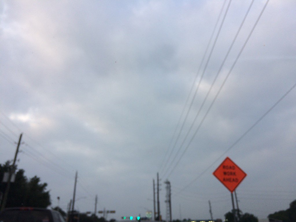
Northwest Houston, TX, during the early morning.
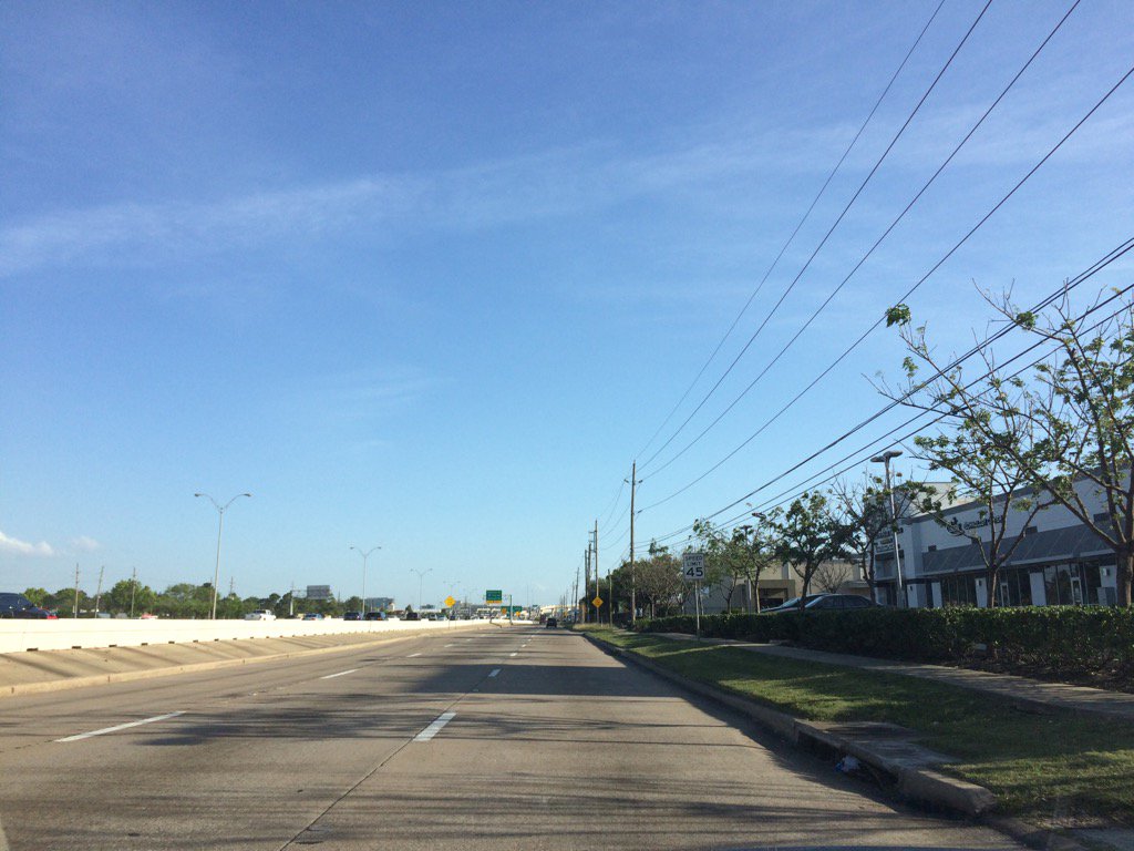
Northwest Houston, TX, during the early evening.
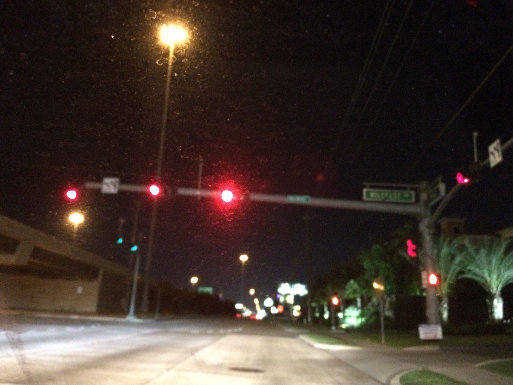
West Houston, TX, during the late night.
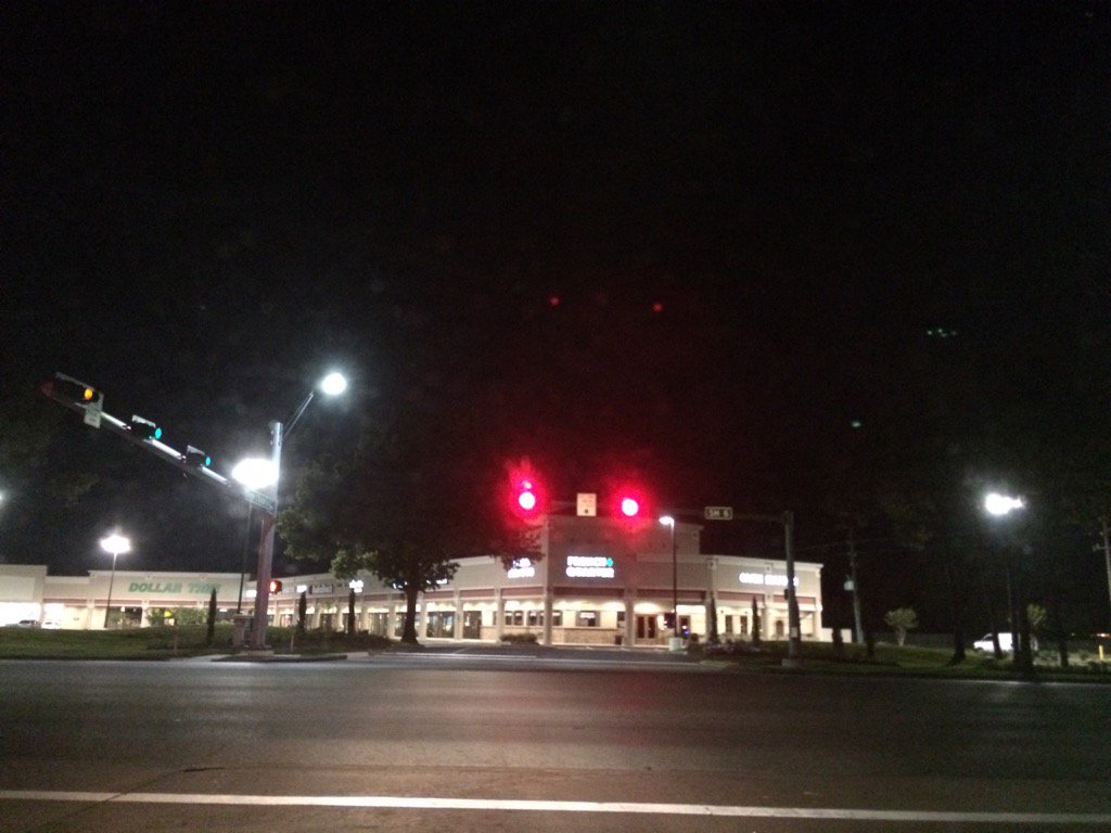
Northwest Houston, TX, during the late night.
Summary: The day was mostly cloudy, warm. and dry. Some isolated showers and maybe some thunderstorms in some areas of Houston, TX, during the morning, afternoon, and evening. The rain looked to be light to moderate. I didn't see, or feel any rain drops. It felt very warm, almost hot during the late afternoon. The wind speed were calm with moderate to moderately strong gusts with really strong gusts. It felt a little cool during the night. The lows looked to be in the 60's and the high temps looked to be in the 90's. There were no watches, warnings, advisories, alerts, or weather statements issued for the Houston, TX area, that I know of. There were some severe thunderstorms north of the Houston, TX area according to NOAA.
Locations: Northwest and west Houston, TX.
Thoughts: It is starting to feel like summer with those 90 degree temps.
Area Forecast Discussion
Issued by NWS Houston/Galveston, TX
Issued by NWS Houston/Galveston, TX
Versions: 1 2 3 4 5 6 7 8 9 10 11 12 13 14 15 16 17 18 19 20 21 22 23 24 25 26 27 28 29 30 31 32 33 34 35 36 37 3839 40 41 42 43 44 45 46 47 48 49 50
865
FXUS64 KHGX 270206
AFDHGX

Area Forecast Discussion
National Weather Service Houston/Galveston TX
906 PM CDT Wed Apr 26 2017

.DISCUSSION...
A couple of severe thunderstorms (hail producers) developed this afternoon
across parts of our northern counties along/ahead of the cold front.
Activity has moved off to the east, and the cold front is moving off
the coast this evening. The rest of the night should be on the quiet
side with decreasing winds inland and increasing winds across the coastal
waters. Look for low temperatures overnight to drop into the upper 40s
to lower 50s well inland (up north) and into the lower to mid 60s along
the coast. 42
&&

.PREV DISCUSSION... /ISSUED 654 PM CDT Wed Apr 26 2017/

AVIATION...
The cold front is currently moving across the city at the bottom
of the hour....veering westerly winds northwest at 15g25 knots
in its wake. With the lone exception of UTS`s vicinity storms...
the remainder of the hubs remained stable enough to preclude the
formation of storms from this afternoon`s towering cumulus. Inland
gusty northwest winds will subside through the evening...remain
up along the coast through 3 or 4 AM...under clear skies. Early
morning winds will veer around to east-southeast through late
morning...generally stick at between 110-130 deg (near coast) /
150-180 deg (inland) at around 10 knots Thursday afternoon. 31

PREV DISCUSSION... /ISSUED 358 PM CDT Wed Apr 26 2017/

SHORT TERM...
Severe warned storm this afternoon in Houston County pretty much
defines where the cap is not and where it is to the south. Storm
has formed along an advancing cold front but there is not much
cumulus development farther down the front towards the College
Station area. College Station did reach 91F today just ahead of
the front. South of this severe storm expect the cap inversion
around 850-700mb to hold as the 12Z CRP and LCH soundings show.
Strongest lift is well north of the area associated with an upper
level low over north Texas. Strong vorticity max was seen in water
vapor imagery with drying between Waco and Abilene on the 6.2
micron GOES 16 water vapor channel. Main severe threat should be
north of the area later this evening with Houston County being the
lone exception right now.

LONG TERM...
Cold front should push through tonight allowing for a cool start
to the day tomorrow after most of the area reaching the upper 80s
today and even low 90s like College Station. It looks like return
flow sets up rather rapidly Thursday into Friday and could
possibly see 90s return again on Friday.

Saturday through Sunday will be a time to monitor as another upper
level trough develops within a rather active jet stream pattern
for the next 7 days. GFS/ECMWF/CMC are all in pretty good
agreement with the center of the upper low over the Four Corners
region by 12Z Saturday. Upper low then moves into the southern
Plains by 12Z Sunday with a cold front pushing into the area.
Overall atmosphere remains rather capped with the elevated mixed
layer Friday and Saturday. Capping may erode enough overnight with
the cold front pushing through the area. There may be a
hail/damaging wind threat overnight into Sunday morning. Shear may
be strong enough to organize storms but linear forcing will likely
keep storms in a line and diminish the potential for discrete
cells. Precipitable water values do get up into the 1.8 to 2 inch
range so a few storms could produce heavy rainfall. The LLJ will
be strong in the 30-40 knot range but not necessarily oriented
normal to the front. There will still be good strong moist inflow
for efficient rain rates in storms but storm motions will be high
so do not think there will be a flood threat at this time.
Overall think a half inch to 1.5 inches of rain will be possible.

Cold front pushes through during the day Sunday with high pressure
building over the area Monday into Tuesday. Long range models
continue the parade of troughs through the plains with another
upper level system developing next Wednesday into Thursday. It
looks like another chance of thunderstorms with a front coming
through Wednesday night next week. 39

MARINE...
Onshore winds have decreased across the bays/coastal waters this
afternoon out ahead of the cold front (currently moving into
northern parts of SE TX). Did drop the SCA on the offshore waters
to an SCEC for the rest of the afternoon, re-raising the SCA for
the same area for this evening/overnight. Strong N winds in the
wake of the front will be brief as the high moves off to the east
and pressures lower over NTX. Onshore winds to resume on Thur and
strengthen throughout the day. Winds/seas could reach Caution/Advisory
criteria by Fri ev- ening and persist into early Sun.

Will need to keep a close eye for elevated water levels and/or risk
of rip currents going into the weekend. Tide levels could potentially
exceed 3.5 feet near high tide early Sat morning. Models keeping
with the idea of another cold front pushing into the coastal waters
early Sun morning with strong offshore winds developing in its
wake. 41

&&

.PRELIMINARY POINT TEMPS/POPS...
College Station (CLL)      51  83  67  90  74 /   0   0  10  10  20
Houston (IAH)              56  83  68  88  76 /   0   0  10  10  20
Galveston (GLS)            63  77  74  82  77 /  10   0  10  10  10

&&

.HGX WATCHES/WARNINGS/ADVISORIES...
TX...NONE.
GM...SMALL CRAFT SHOULD EXERCISE CAUTION until 7 AM CDT Thursday for
     the following zones: Coastal waters from Freeport to the
     Matagorda Ship Channel out 20 NM...Coastal waters from High
     Island to Freeport out 20 NM...Galveston Bay...Matagorda
     Bay.

     Small Craft Advisory until 7 AM CDT Thursday for the following
     zones: Waters from Freeport to the Matagorda Ship Channel
     from 20 to 60 NM...Waters from High Island to Freeport from
     20 to 60 NM.

     SMALL CRAFT SHOULD EXERCISE CAUTION until 10 PM CDT this evening
     for the following zones: Waters from Freeport to the
     Matagorda Ship Channel from 20 to 60 NM...Waters from High
     Island to Freeport from 20 to 60 NM.

&&

$$

Discussion...42
Aviation/Marine...31
No comments:
Post a Comment