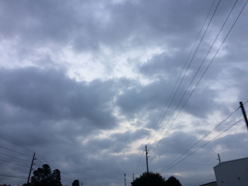
Northwest Houston, TX, during the early morning.
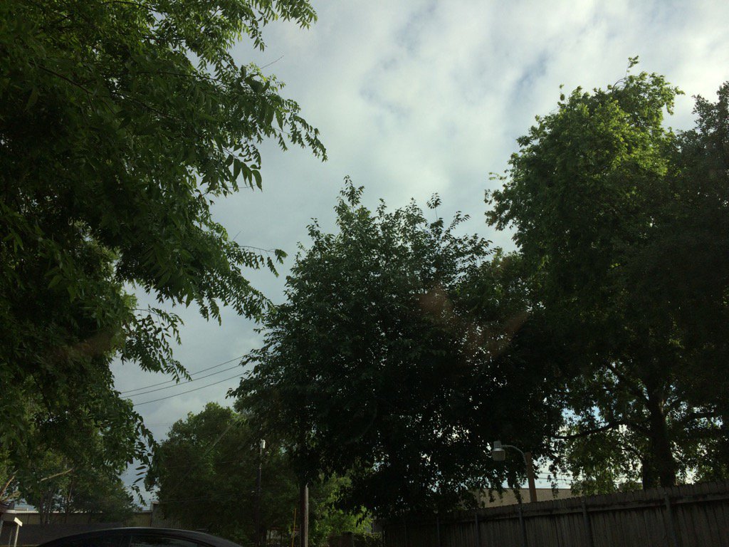
West Houston, TX, during the early evening.
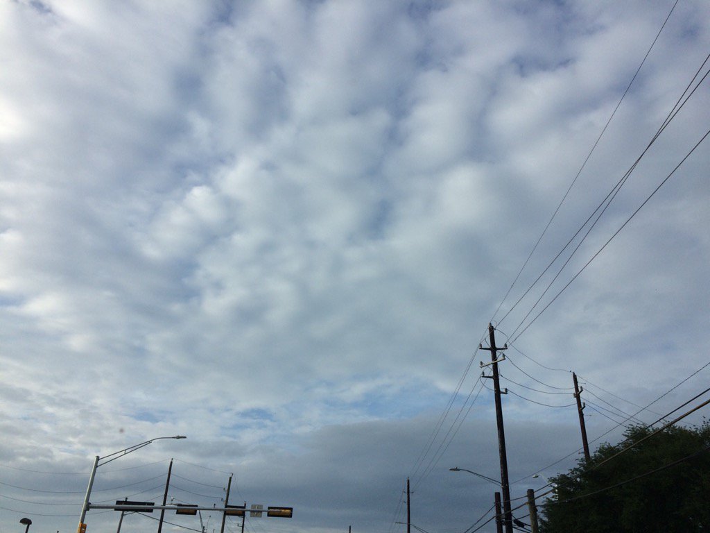
Northwest Houston, TX, during the early evening.
Summary: The day was mostly cloudy, dry, and warm. Light to heavy rain looked to be falling in and around the Houston, TX area, during the late morning, afternoon, and evening. I read from NOAA that some of these storms were possibly severe with some possible funnel reports. I didn't see any rain drops. I think I might have felt a few rain drops, in west Houston, TX, where I work, but they probably came from the wet leaves of yesterday's rain. Most of the rain was in southeast and southwest Houston, TX. The sky stayed mostly cloudy. The wind speeds were calm with moderate to moderately strong gusts. There were no watches, warnings, advisories, alerts, or weather statements issued for the Houston, TX area, that I know of. There might have been some, including a dense fog advisory. I didn't see any fog. The lows were in the 60's and the highs were in the 80's, for the Houston, TX area.
Locations: Northwest and west Houston, TX.
Thoughts: Well no rain today where I was in Houston, TX. That's ok. There are still more chances to see rain this week and next.
Area Forecast Discussion
Issued by NWS Houston/Galveston, TX
Issued by NWS Houston/Galveston, TX
Versions: 1 2 3 4 5 6 7 8 9 10 11 12 13 14 15 16 17 18 19 20 21 22 23 24 25 26 27 28 29 30 31 32 33 34 35 36 37 3839 40 41 42 43 44 45 46 47 48 49 50
000
FXUS64 KHGX 130140
AFDHGX

Area Forecast Discussion
National Weather Service Houston/Galveston TX
840 PM CDT Wed Apr 12 2017

.DISCUSSION...
Shower and thunderstorm activity was a bit more widespread and
robust today than I thought would happen last night. Several
interesting features on visible imagery that showed an outflow
boundary over Galveston County pushing west with the tail end of
that boundary intersecting a weak residual outflow boundary from
yesterday`s convection enhanced by weak sea breeze extending from
Central Brazoria county toward Palacios. Convection was enhanced
in central Brazoria into central Wharton counties with the brief
funnel cloud reports as the two boundaries collided. Much calmer
now and conditions will remain quiet overnight as drier air begins
to filter into the region from the east. SREF ensemble guidance
suggests more fog possible overnight and with wet ground and light
winds, it seems more than plausible. Will add patchy/areas of fog
to the weather grids. Will also tweak sky grids and clean up
evening PoP verbiage. Otherwise, the rest of the forecast looks on
track through the weekend. 43

&&

.PREV DISCUSSION... /ISSUED 626 PM CDT Wed Apr 12 2017/

AVIATION...
The shower and thunderstorm activity has moved west of all but
KLBX at 23Z. Do expect the vicinity showers at KLBX to be west of
that area by 00Z. The main issues for this forecast will be the
onset of MVFR/IFR or lower conditions later tonight, and then the
timing of when the conditions will lift to VFR. Winds may become
an issue tomorrow (Thursday) afternoon.

Model sounding forecasts show the best potential for MVFR
conditions to be between 06Z and 15Z. Best potential for IFR or
lower will be generally from 08Z to 14Z. As the low-level
temperature inversion breaks toward midday on Thursday, winds
should pick up for the afternoon. Most inland sites should
experience breezy southeasterly winds after 18Z. This should
diminish around sunset.

After the previous 12 hours, did a double check to make sure the
models were not showing signs of any rain chances for Thursday.
On the contrary, drier air looks to be moving into SE Texas which
should limit any shower development.

40

PREV DISCUSSION... /ISSUED 340 PM CDT Wed Apr 12 2017/

DISCUSSION...

Fairly active with convection across the upper coastal areas this
afternoon, with slow moving scattered showers and isolated
thunderstorms producing locally heavy rainfall. A small mid-level
disturbance combined with a subtle sea/bay breeze to produce a
narrow corridor of 1 to 3 inches of rain. Expect most of this
activity to diminish by the early evening hours, but there could
still be isolated showers around across w/sw portions of SE TX
remaining into the eve.

Expect a dry day tomorrow as a drier airmass advects in from the
east with precipitable water values dropping to below an inch
areawide. Another short wave mid/upper trough will move NE from
west TX into the southern plains on Thu/Fri. Showers and
thunderstorms associated with this feature should remain W/NW of
SE TX. On Saturday expect a chance of rain across eastern areas
due to an upper level disturbance lifting northward from the Gulf
and combining with deeper moisture. Sunday and into early next
week, expect a series of weak mid/upper disturbances to move west
to east across the area and produce a slight chc/chc of rain.
Hard to time any convective events for early next week. No
significant chgs are expected to the temps during the forecast
period. Mins will be in the 60s and highs in the lower to mid 80s.
33

MARINE...
Persistent southeasterly winds 8-14kts with seas of 3 to 5 feet will
be the pattern through Tuesday. Ridge of high pressure remains over
the SE US and maintains this onshore flow. As a disturbance moves
into the state Sunday/Monday expect to see a least a few knot
increase to the winds. 45

&&

.PRELIMINARY POINT TEMPS/POPS...
College Station (CLL)      63  82  61  82  62 /  20  10  10  10  10
Houston (IAH)              64  82  63  82  66 /  20  10  10  10  10
Galveston (GLS)            70  78  70  79  71 /  10  10  10  10  10

&&

.HGX WATCHES/WARNINGS/ADVISORIES...
TX...NONE.
GM...NONE.
&&

$$

Discussion...43
No comments:
Post a Comment