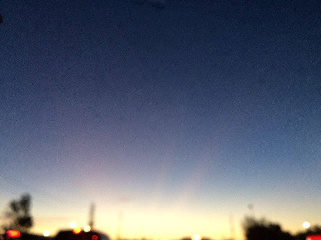
Northwest Houston, TX, during the early morning.
Summary: The day was warm, sunny, and mostly clear. There were some clouds during the day and then the sky became mostly cloudy during the night. No rain. I didn't hear, feel, or see any drops anywhere in, or near the Houston, TX area, during anytime of the day. There were no watches, warnings, advisories, or weather statements issued for the Houston, TX area, that I know of, during anytime of the day. The wind speeds were calm with moderate to moderately strong gusts. The low temps were in the 60's and maybe a few 50's and the high temps were in the mid to upper 80's, for the Houston, TX area.
Locations: Northwest and west Houston, TX.
Thoughts: Another warm and sunny day. I am not sure if Houston, TX had any record highs. Maybe some showers tomorrow!
Area Forecast Discussion
Issued by NWS Houston/Galveston, TX
Issued by NWS Houston/Galveston, TX
Versions: 1 2 3 4 5 6 7 8 9 10 11 12 13 14 15 16 17 18 19 20 21 22 23 24 25 26 27 28 29 30 31 32 33 34 35 36 37 3839 40 41 42 43 44 45 46 47 48 49 50
000
FXUS64 KHGX 050238
AFDHGX

Area Forecast Discussion
National Weather Service Houston/Galveston TX
938 PM CDT Tue Apr 4 2017

.UPDATE...
Only minor tweaks were made to the previous forecast. Still
expecting a front to push through overnight tonight with a few
showers possibly popping up along it. Some patchy fog may be
possible just ahead of the front as well, particularly over the
southwest zones where dewpoint depressions are smaller. 11

&&

.PREV DISCUSSION... /ISSUED 346 PM CDT Tue Apr 4 2017/

DISCUSSION...
A fine day out there albeit on the warm side. Current temperatures
in the average middle 80s are threatening some pretty old records
around the city...may tie one or two within the next hour. A cold
front pushing into west central Texas will come across the region
during the overnight early Wednesday morning hours. Not much fanfare
associated with this front`s passage...slight chances for low QPF
showers along or just ahead of the boundary as it nears the coastline
during the pre-dawn hours. The bulk of the cool and drier Canadian
air filtering in over southeastern Texas will best be felt early
Thursday once the winds die out. A strong northwesterly wind day
tomorrow per the tight post-frontal offshore pressure gradient
/cold-dry air advection. A short-fused Wind Advisory may be needed
from mid morning through mid afternoon across the western corridor
and coastal counties as sustained winds reach 20 to 25 mph. Humidities
will fall into the 30s but...with the driest air lagging behind
by a half a day...will have tomorrow`s high winds out of phase with
Thursday`s low humidities in the 20s (see Fire Weather below).
This cool and dry air mass...85H temps falling to between 5 to 10
C...will regulate daily late week warmth to the 70s. This cooling
will best be felt overnight as Thursday and Friday`s sunrise
temperatures fall into the interior middle to upper 40s (Thursday)
/upper 40s to lower 50s (Friday).

The upper ridge axis passes off to the east...with the surface
high positioning itself over the southeastern states...going into
the weekend. Onshore winds return Friday and...with a tightening
onshore pressure gradient per lowering Rocky Mountain lee pressures
..strengthen to moderate magnitudes through the weekend. Early
week rain chances will be on the rise as the extended models want
to push a cold front into west central Texas ahead of shallow upper
troughing. The solution NWP consensus is to hang this boundary up
somewhere over central or eastern Texas Monday and Tuesday. Ample
lower level convergence within a 1.5 to 1.6 inch pwat air mass...with
cooling mid-levels creating an increasingly unstable environment
through Tuesday afternoon...will maintain at least moderate inland POPS
for Monday showers transitioning to showers with isolated storms
by Tuesday. 31

MARINE...
A cold front over North Texas will move toward SE TX tonight and
cross the coastal waters early Wednesday morning. A strong pressure
and thermal gradient will contribute to a strong offshore flow
Wednesday with winds beginning to decrease early Thursday morning as
high pressure settles over the state. A Small Craft Advisory will be
in effect early Wednesday through Wednesday evening for sustained
offshore winds near 25 knots. Wind gusts will approach Gale force at
times and Seas will quickly build to 7 to 9 feet offshore. The sfc
high moves east on Thursday night and a weak onshore flow should
return on Friday. Onshore winds will strengthen over the weekend as
low pressure develops in the lee of the Rockies and deepens as it
moves to the east. Onshore winds will prevail through the first half
of next week. 43


FIRE WEATHER...
Winds will remain out of the south tonight and into the early
morning hours, before veering to the northwest by early Wednesday
morning. Still anticipating elevated fire weather conditions
Wednesday, with wind speeds approaching 15 to 25 mph and relative
humidities falling into the mid 30s by Wednesday afternoon.
Especially concerned along the coastal counties where the fine fuels
are still fairly dry, as this region did not receive as much rain
over the last week. Forecast soundings show dry air aloft, have some
concerns that this dry air may mix to the surface creating RH values
lower than forecast. Looking ahead to Thursday, relative humidities
will remain low but wind speeds will be considerably lighter
reducing the risk for fire weather. Hathaway

&&

.PRELIMINARY POINT TEMPS/POPS...
College Station (CLL)      88  53  73  45  76 /   0  10   0   0   0
Houston (IAH)              89  60  76  49  77 /   0  20   0   0   0
Galveston (GLS)            81  67  76  58  74 /   0  20  10   0   0

&&

.HGX WATCHES/WARNINGS/ADVISORIES...
TX...NONE.
GM...Small Craft Advisory from 6 AM to 7 PM CDT Wednesday for the
     following zones: Coastal waters from Freeport to the
     Matagorda Ship Channel out 20 NM...Coastal waters from High
     Island to Freeport out 20 NM...Galveston Bay...Matagorda
     Bay...Waters from Freeport to the Matagorda Ship Channel
     from 20 to 60 NM...Waters from High Island to Freeport from
     20 to 60 NM.

&&

$$

Discussion...11
No comments:
Post a Comment