Northwest Houston, TX, during the early morning.
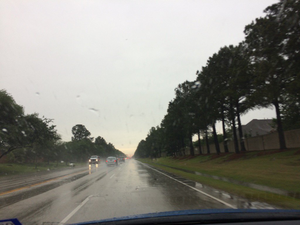
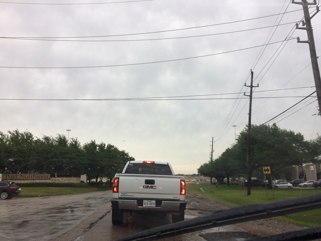
Northwest Houston, TX, during the late afternoon.
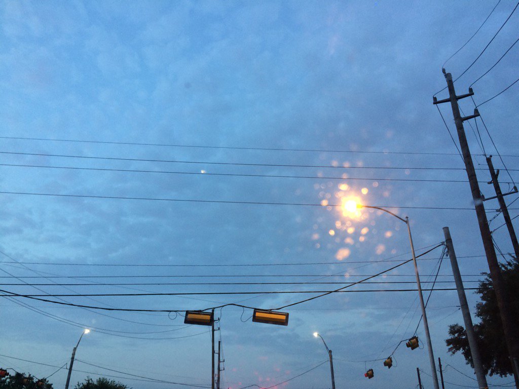
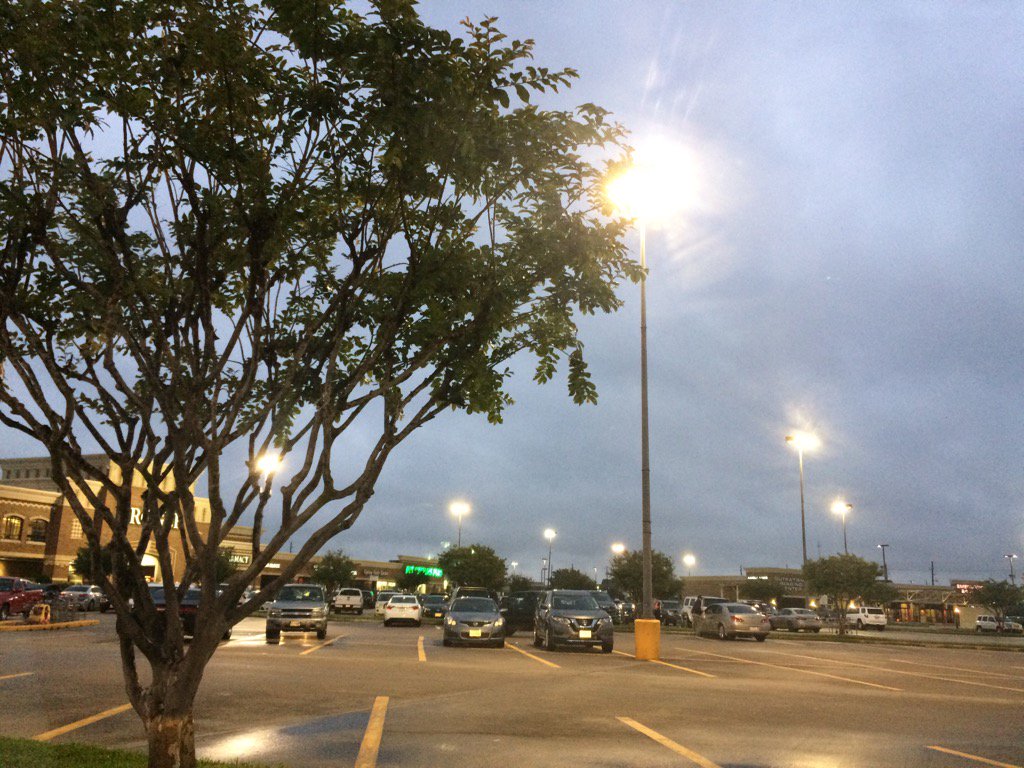
Northwest Houston, TX, during the early evening.
Cypress, TX, during the late evening.
Summary: The day was cloudy, wet, and a little cool. Light to really heavy showers and thunderstorms started to descend on the Houston, TX area from the north and west. The showers and thunderstorms looked to have left the Houston, TX area, sometime during the late evening, or maybe early night. The wind speeds were calm with moderate to moderately strong gusts. There were no advisories, watches, warnings, alerts, or special weather statements issued for the Houston, TX area, that I know of, from the showers and thunderstorms. There was a small craft advisory issued because of some strong winds and a dense fog advisory issued the night and the next day. I didn't see any storm damage, just some large puddles. A moderately heavy shower passed through where I work in west Houston, TX, during the late morning, near the early afternoon. The showers turned into thunderstorms and continued on and off where I work in west Houston, TX, bringing moderate to moderately heavy to really heavy rain, during the afternoon. I passed through some more thunderstorms on my way home from work, during the early evening. That was the last round of rain that I saw. The low temps were in the 60's, I think and I think the high temps were in the 70's with maybe some 60's, for the Houston, TX area.
Locations: Northwest and west Houston, TX, Cypress, TX.
Thoughts: I was really happy to see the rain today. I wasn't expecting to see much due to the confusing forecast. It felt a little cool at times, but stayed mostly warm.
Area Forecast Discussion
Issued by NWS Houston/Galveston, TX
Issued by NWS Houston/Galveston, TX
Versions: 1 2 3 4 5 6 7 8 9 10 11 12 13 14 15 16 17 18 19 20 21 22 23 24 25 26 27 28 29 30 31 32 33 34 35 36 37 3839 40 41 42 43 44 45 46 47 48 49 50
000
FXUS64 KHGX 120205
AFDHGX

Area Forecast Discussion
National Weather Service Houston/Galveston TX
905 PM CDT Tue Apr 11 2017

.DISCUSSION...
A meso-low or wake low developed early this evening behind the
departing area of convection. Winds were gusting to near 40 mph at
times. A Small Craft Advisory was issued earlier to cover the
briefly higher winds. Winds are expected to decrease shortly as
the meso-low begins to fill. The other dilemma tonight is whether
low clouds of fog develops. The SREF is hitting the northern zones
rather hard with visibility dropping below a mile generally north
of Hwy 105. KCXO and KLFK are both currently less than a mile.
Will add areas of dense fog to the wx grids for areas north of a
Columbus to Cleveland line for tonight. Min temps look on track.

A disturbance should approach SE TX from the east tomorrow and
this feature could trigger some scattered showers. 20/30 PoPs
seems reasonable for this. 43

&&

.PREV DISCUSSION... /ISSUED 613 PM CDT Tue Apr 11 2017/

AVIATION...
The area of rain was moving over the coastal areas at 23Z and
expect the rain to be out of KGLS and KLBX by 01Z. Confidence in
the forecast for the rest of the evening through 15Z tomorrow was
moderate at best. Satellite trends for the next few hours show
that some clearing can be expected or, at least, VFR conditions.
However, model output and guidance show the potential for the
development of MVFR to IFR conditions between 08Z and 10Z. At
least one model was showing the potential for IFR or lower this
evening before 08Z. Best chances for IFR or lower will be from 08Z
to 15Z. Ceilings should then gradually lift to VFR by 18Z at the
earliest.

40

&&

.PRELIMINARY POINT TEMPS/POPS...
College Station (CLL)      61  80  62  82  60 /  20  20  10  10  10
Houston (IAH)              64  81  63  82  63 /  20  20  10  10  10
Galveston (GLS)            69  79  69  79  68 /  50  20  10  10  10

&&

.HGX WATCHES/WARNINGS/ADVISORIES...
TX...NONE.
GM...SMALL CRAFT SHOULD EXERCISE CAUTION until 11 PM CDT this evening
     for the following zones: Galveston Bay...Matagorda Bay.

     Small Craft Advisory until 11 PM CDT this evening for the
     following zones: Coastal waters from Freeport to the
     Matagorda Ship Channel out 20 NM...Coastal waters from High
     Island to Freeport out 20 NM...Waters from Freeport to the
     Matagorda Ship Channel from 20 to 60 NM...Waters from High
     Island to Freeport from 20 to 60 NM.

&&

$$

Discussion...43
Hazardous Weather Outlook
Hazardous Weather Outlook
National Weather Service Houston/Galveston TX
633 AM CDT Tue Apr 11 2017

TXZ163-164-176>179-195>200-210>214-226-227-235>238-121145-
Austin-Brazoria-Brazos-Burleson-Chambers-Colorado-Fort Bend-
Galveston-Grimes-Harris-Houston-Jackson-Liberty-Madison-Matagorda-
Montgomery-Polk-San Jacinto-Trinity-Walker-Waller-Washington-
Wharton-
633 AM CDT Tue Apr 11 2017

This hazardous weather outlook is for portions of Southeast Texas..

.DAY ONE...Today and Tonight

There are high chances for scattered thunderstorm activity today
but confidence is very low on the timing and location of any strong
to severe storms. Daytime heating within a moist and somewhat
unstable environment...with a possible gust front emanating from
northwestern thunderstorm activity...may fire mid morning through
late afternoon thunderstorm activity. All elements are in play
from any strong storm...gusty winds...hail to quarter size...an
isolated tornado...with any storm moving less than 20 mph producing
1 to 3 inch per hour rates that could lead to localized flash flooding.
The severe weather threat will quickly come to a close around sunset.


.DAYS TWO THROUGH SEVEN...Wednesday through Monday

No hazardous weather is expected at this time.

.SPOTTER INFORMATION STATEMENT...

Spotter awareness may be needed later this morning or during the afternoon.

$$
No comments:
Post a Comment