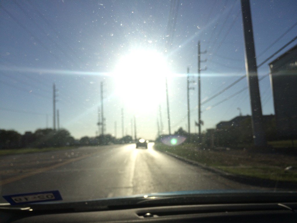
Northwest Houston, TX, during the early morning.
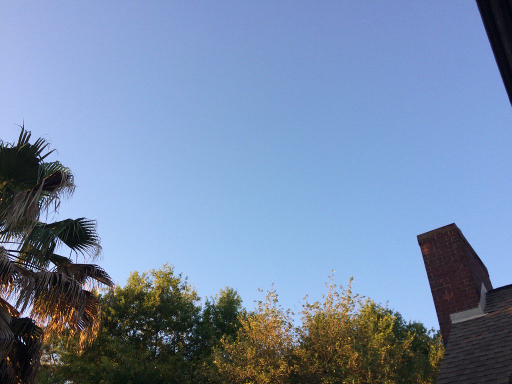
Northwest Houston, TX, during the early evening.
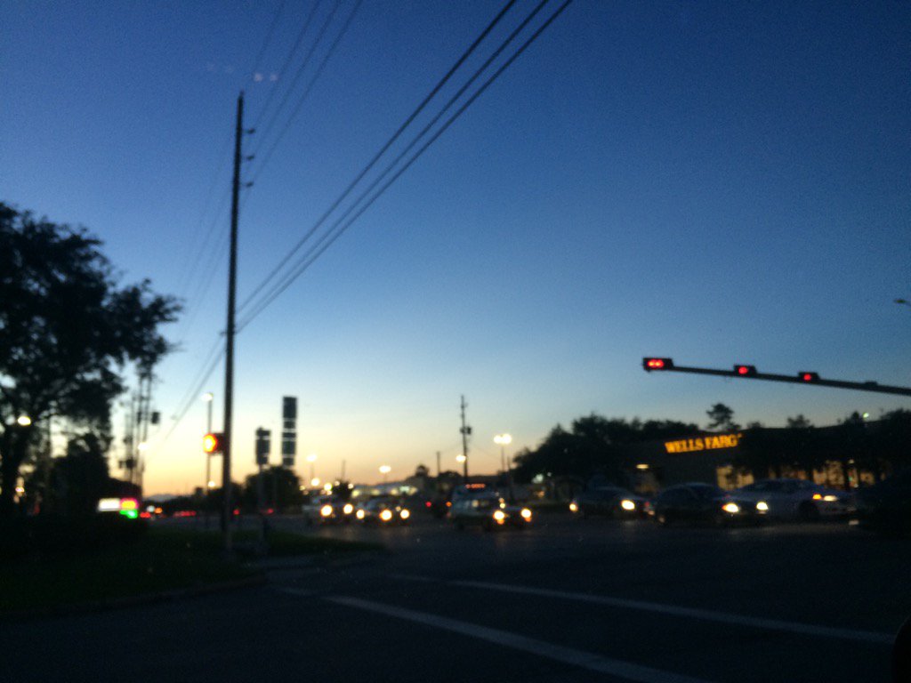
Northwest Houston, TX, during the late evening.
Summary: The day was sunny, dry, and warm. No rain. I didn't see, feel, or hear about any rain drops falling anywhere in, or near the Houston, TX area, during anytime of the day. The day started off cool, but then became very warm, almost hot, during the afternoon. The wind speeds were calm with moderate to moderately strong gusts. There were no watches, warnings, advisories, or weather statements issued for the Houston, TX area, during anytime of the day, that I know of. The low temps were in the low 60's with maybe a few 50's and the high temps were in the low to mid 80's, for the Houston, TX area. The sky looked clear during the early and maybe mid-morning, evening, and maybe night. There were a few fair clouds, during the late morning and afternoon.
Locations: Northwest and west Houston, TX.
Thoughts: A pretty pleasant day. Some cool weather on the way. No too happy about it, but at least it will feel nice when I am riding my bike, or working.
Area Forecast Discussion
Issued by NWS Houston/Galveston, TX
Issued by NWS Houston/Galveston, TX
Versions: 1 2 3 4 5 6 7 8 9 10 11 12 13 14 15 16 17 18 19 20 21 22 23 24 25 26 27 28 29 30 31 32 33 34 35 36 37 3839 40 41 42 43 44 45 46 47 48 49 50
000
FXUS64 KHGX 040143
AFDHGX

Area Forecast Discussion
National Weather Service Houston/Galveston TX
843 PM CDT Mon Apr 3 2017

.DISCUSSION...
Not planning on any changes with the update this evening. Slightly
higher dewpoints over the SW portions of the CWA do lend some cre-
dence to the idea of patchy fog there overnight...whereas the rest
of the area did see quite a bit of mixing. Current forecast trends
for the short-term look to be on track. 41

&&

.PREV DISCUSSION...  /ISSUED 354 PM CDT Mon Apr 3 2017/

A beautiful day across the Lone Star as surface high pressure
nudges up into the western Gulf...subsidence rules with clear
skies affording many communities maximum temperatures in the lower
to middle 80s. Low relative humidities in the interior middle 20s
to upper 30s...depending on the ambient temperatures as many dew
points have mixed out into the lower to middle 50s (inland) to
lower 60s along the coast. After a cool starry evening of areawide
interior minimum Ts in the lower 60s...mid to upper 60s close to
coast...Tuesday will warm to near record values (please see
Climate section below). Houston (IAH)`s maximum temperature record
tomorrow is 120 years old! The only caveat tomorrow will be the
possible development of patchy 4 to 6 mile visibility-restricting
patchy fog outside the city...primarily centered over the more
western to southwestern rural counties. Confidence is low of any
significant fog development per a near 6 to 8 knot southerly
breeze and the possible existence of a high cloud deck.

A cold frontal passage Wednesday morning will open the gates for
a colder and drier continental-in-origin air mass to spread
across the region from mid week on through Thursday...a slow
modification of the air mass Friday as weakened offshore winds
swing back around to onshore through the day. Slight early
Wednesday rain chances (showers) just ahead or along the front
over more southern counties. The coldest and driest air will come
across late Wednesday into Thursday...anticipating that mid-level
air will fall from the mid to upper teens into the single digits
by midnight Thursday/pwats will plummet into the 0.3 to 0.4 inch
realm Thursday. The fire weather scenario is highlighted below.
This frontal passage will chill mornings into the 40s and regulate
afternoon warmth into very comfortable (near normal) middle to
upper 70s in closing out the week. Late week large high pressure
/upper ridging dominates the weather pattern with no rain forecast
through Saturday. Rain chances increase Sunday with the passage
of a far northern Plains upper trough. The associated surface cold
front may make it into eastern Texas by Monday but will most likely
hang up somewhere north. Saturation under a mid-level warm nose
and a vicinity front may produce daytime scattered shower activity
early next week. 31

Climate...
Record maximum temperature records for Tuesday (year):

College Station: 90 F (1918)

Houston (IAH): 88 F (1897)

Houston (Hobby): 87 F (1940)

Galveston: 82 F (2011)

&&

.PRELIMINARY POINT TEMPS/POPS...
College Station (CLL)      60  86  54  73  48 /   0   0  10   0   0
Houston (IAH)              63  87  60  75  50 /   0   0  20   0   0
Galveston (GLS)            69  80  67  75  61 /   0   0  20   0   0

&&

.HGX WATCHES/WARNINGS/ADVISORIES...
TX...NONE.
GM...NONE.
&&

$$
No comments:
Post a Comment