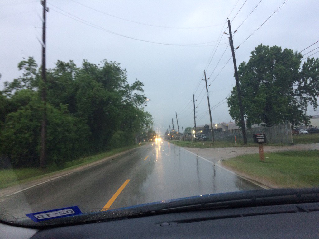
Northwest Houston, TX, during the early morning.
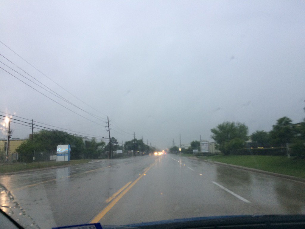
West Houston, TX, during the early afternoon.
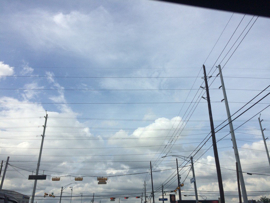
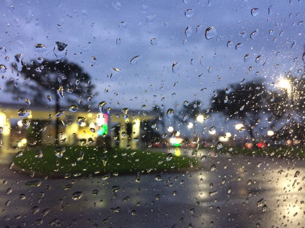
Northwest Houston, TX, during the early evening.
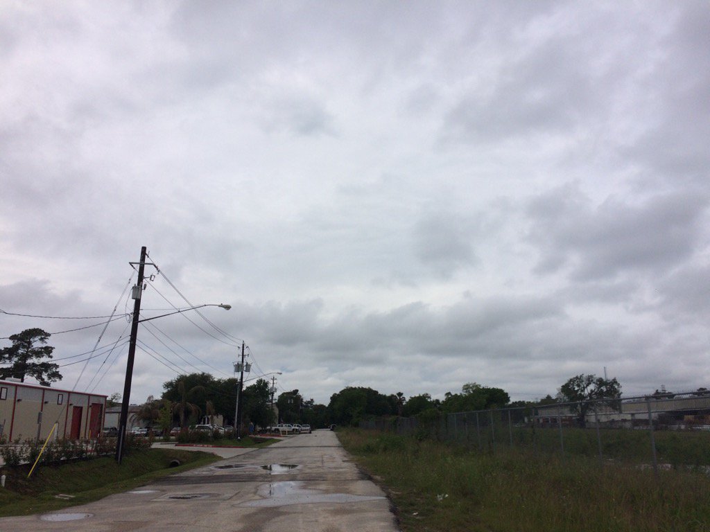
Summary: The day was warm, wet, and mostly cloudy. Light to really heavy rain drops fell in and around the Houston, TX area during mainly the morning and early afternoon. Isolated light to really heavy rain drops where still falling in some spots in and around the Houston, TX area, during the mid and late afternoon, evening, and maybe night. The sky stayed mostly cloudy. The wind speeds were calm with moderate to moderately strong gusts. I stopped seeing rain sometime during the late morning, or maybe early afternoon/ There was a flash flood watch issued for the Houston, TX area. I didn't see, or hear about any other watchs, warnings, advisories, alerts, or weather statements being issued for the Houston, TX area. The showers and thunderstorms brought flooding to Brazoria County and some isolated spots in and around the Houston, TX area. I didn't see, or hear about any storm damages. The lows were in the 60's and the highs were in the 70's with maybe some 80's.
Locations: Northwest and west Houston, TX.
Thoughts: I was surprised to see the flooding in Brazoria County. I didn't know it rained that much down there.
Area Forecast Discussion
Issued by NWS Houston/Galveston, TX
Issued by NWS Houston/Galveston, TX
Versions: 1 2 3 4 5 6 7 8 9 10 11 12 13 14 15 16 17 18 19 20 21 22 23 24 25 26 27 28 29 30 31 32 33 34 35 36 37 3839 40 41 42 43 44 45 46 47
000
FXUS64 KHGX 190217
AFDHGX

Area Forecast Discussion
National Weather Service Houston/Galveston TX
917 PM CDT Tue Apr 18 2017

.DISCUSSION...
Overall forecast from previous update is on track but looks like
based off model trends showers could develop in the morning with a
few storms mainly after 10Z. For now updated the forecast to keep
20 PoPs for the overnight and then ramping up to 30/40 PoPs for
tomorrow. Temperature trends look on track for low temperatures in
the mid/upper 60s. Given rainfall the last day or two, we may
need to monitor for patchy fog for areas that have clearing skies.

Overpeck

&&

.PREV DISCUSSION... /ISSUED 709 PM CDT Tue Apr 18 2017/

DISCUSSION...EVENING FORECAST UPDATE
Based on radar trends, satellite trends and surface analysis, the
overall trend has been for convection to be waning over SE Texas.
There is a band of convection between High Island and Port Arthur.
Trends have been for this convection to be decreasing. Convection
is tied to a moisture gradient with dewpoints in the mid 60s to
the west and upper 60s/low 70s to the east. Assuming this boundary
becomes more diffuse with time, convection should decrease as
result. Overall the thinking is that rain chances should decrease
through the night. Water vapor imagery shows a vorticity maximum
dropping to the Rio Grande valley. This should help create a shear
axis over the area by which any remnants of the MCV will be pushed
NE out of the area. This still support some small large scale
ascent over SE Texas so will leave some rain chances through the
night and tomorrow. Precipitable water values are still around
1.6-1.7 inches which would support locally heavy rainfall. The
overall trend in the forecast though supports lower rain chances
unless convection ramps up along any outflow boundaries.

Main changes to the forecast so far have been to mainly update the
forecast for the first 24 hours and we will likely look to update
the forecast again around 02-03Z this evening.

Overpeck

PREV DISCUSSION... /ISSUED 620 PM CDT Tue Apr 18 2017/

AVIATION...
Satellite and radar show the results of a bit more stability in
the atmosphere after heavy rains last night and this morning, and
so have pulled mention of thunder, but still isolated to scattered
showers across the area, and expect those to persist into the
nighttime hours so the VCSH mentions largely stay.

Otherwise, have been a bit more optimistic in ceilings in some
spots, and have risen to VFR in the Houston metro, but still come
down to MVFR in sites outside the urban core. Some high-res
models do spark some seabreeze convection in the afternoon for
tomorrow, but given the increasingly unfavorable environment,
capped at VCSH from IAH coastward for now.

Luchs

PREV DISCUSSION... /ISSUED 356 PM CDT Tue Apr 18 2017/

DISCUSSION...
After an active 12 hours for the region as a mesoscale convective
vortex pushed to near Matagorda Bay from Central Texas, some of
the hardest hit areas in terms of rainfall today are receiving
some respite. Farther inland (north of Interstate 10), diurnal
heating has contributed to isolated to scattered showers but this
activity is expected to peter out later this evening with loss of
heating. Evolution of the MCV near Matagorda Bay will remain the
primary forecast focus for the next 6 to 12 hours as short term
guidance continues to struggle with the placement and intensity of
the rainfall associated with this feature.

Afternoon surface analysis placed the low level circulation
associated with this feature near Magnolia Beach. Throughout the
day, minimum pressures associated with this low have fluctuated
(indicating changes in intensity) with the MCV displaying an
overall weakening trend. This has likely been aided by a lack of
convection near the center of the MCV (limiting renewed generation
of vertical vorticity which is what the MCV needs to maintain
its circulation). Additionally, the KHGX VAD wind profiler has
shown increasing mid-level winds through the day (10 knots this
morning compared to 25 knots this afternoon) and the increased
shear associated with this also appears to have helped weaken the
MCV. Higher resolution guidance quickly weakens/dissipates the MCV
as we head into the overnight hours, however the convective
parameterization schemes of these models (RAP/HRRR) often cause
them to struggle with the development and/or evolution of these
features and until the MCV completely dissipates, confidence in
any one of these solutions is low.

So what`s the forecast for tonight? Given the environmental trends
with the MCV, anticipate it to continue to weaken through the
overnight hours but expect to see periods of showers and
thunderstorms associated with this feature to move across the
coastal waters and possibly move as far inland as the Interstate
10 corridor. One of these bands (which high resolution guidance
had been attempting to develop along the Interstate 45 corridor
earlier this morning) is currently pushing north-northeast towards
Galveston Bay and may move into Galveston, Chambers, and Liberty
counties later this afternoon. For the aforementioned reasons,
confidence in timing or placement in any one of these bands is low
(hence the 50 PoPs or less for tonight) but that does not mean the
potential for heavy rain has ended.

MCVs are warm core systems and should this feature wobble any
farther inland, nocturnal cooling of land would actually result in
falling pressures and help increase the pressure gradient
surrounding the center of this feature... and this would actually
result in enhanced convergence near the center or the MCV (and
greater rain chances than currently advertised). Atmospheric
moisture content still remains very high (in excess of 1.5 inches)
and with forecast soundings maintaining these moisture levels
(1.5-1.7 inches) through the overnight hours, at least locally
heavy rain will still be possible. As far as surface analysis has
shown, there are no remnant outflow boundaries along the coast
that would serve as a focusing point for overnight rain (which is
what resulted in nearly 8-10 inches of rain falling in Brazoria
and Galveston counties this morning), so rainfall expectations
overnight are much, much lower than what was observed this
morning. Additional 1 to 3 inch amounts cannot be ruled out
through tonight with the usual caveats of higher amounts possible
should any boundary collisions or training occur. Otherwise,
expect lows in the mid 60s to lower 70s tonight.

As an upper level disturbance near the Texas Coastal Bend drops
farther south towards the Bay of Campeche tomorrow, shower and
thunderstorm activity will be more diurnally driven with isolated
to scattered coverage from late morning through early evening.
Atmospheric moisture will again remain high tomorrow (1.5-1.7
inches) and again, with weak overall flow promoting slow storm
motions, locally heavy rain will be possible during the day on
Wednesday as well. Expect highs to rise into the mid 70s to lower
80s.

Upper ridging builds in from the west on Thursday, limiting shower
and thunderstorm coverage mainly to the seabreeze. This ridging is
expected to flatten by Friday as a shortwave trough reaches the
Southern Plains, with this trough crossing Southeast Texas on
Saturday afternoon and night. Medium range guidance continues to
decrease QPF along the front (likely as the result of anticipation
of the presence of a cap advecting across the region as southwest
winds allow 700 MB temperatures to climb near 10 degrees C), but
cannot rule out a few showers or thunderstorms as the front
reaches Southeast Texas. The trough axis clears the region on
Sunday with upper ridging building across the region Monday and
Tuesday allowing for dry conditions to resume. The next period of
unsettled weather looks to become established by mid to late next
week as the next upper trough approaches the region.

Huffman

MARINE...
Mainly south to southeast winds will persist through the
remainder of the week. Caution flags are likely and advisories
might be needed Saturday night through Sunday morning or Sunday
afternoon in the wake of a cold frontal passage. Look for winds to
shift to the north beginning Saturday afternoon after the front
moves off the coast. The offshore flow behind the front will last
until Monday when high pressure moves off to the east and onshore
winds return to the area. 42

HYDROLOGY...
Rises to action stage are ongoing along the Lavaca and Navidad
river basins. Additional rainfall could lead to rises to action
and possibly minor along the Lavaca, Navidad, and San Bernard as
early as tonight or tomorrow morning and continuing through the
end of the week. Additional rises to near action are possible
along the Colorado and tributaries of the Brazos River.

KLG

&&

.PRELIMINARY POINT TEMPS/POPS...
College Station (CLL)      66  82  67  84  67 /  20  30  10  10  10
Houston (IAH)              67  82  68  84  68 /  30  40  10  20  10
Galveston (GLS)            72  79  72  79  73 /  40  30  10  10  10

&&

.HGX WATCHES/WARNINGS/ADVISORIES...
TX...NONE.
GM...NONE.
&&

$$

Discussion...39
Hazardous Weather Outlook
Hazardous Weather Outlook
National Weather Service Houston/Galveston TX
613 AM CDT Tue Apr 18 2017

TXZ200-210>214-226-227-235>238-191115-
Austin-Brazoria-Chambers-Colorado-Fort Bend-Galveston-Harris-
Jackson-Liberty-Matagorda-Waller-Wharton-
613 AM CDT Tue Apr 18 2017

This hazardous weather outlook is for portions of Southeast Texas..

.DAY ONE...Today and Tonight

Overnight storms are expected to persist and become more
widespread the rest of this morning. These storms could produce
additional rainfall amounts from 2 to 3 inches with isolated
totals from 4 to 6 inches possible through this afternoon.

.DAYS TWO THROUGH SEVEN...Wednesday through Monday

No hazardous weather is expected at this time.

.SPOTTER INFORMATION STATEMENT...

Spotter activations may be needed.

$$
No comments:
Post a Comment