Northwest Houston, TX during the early afternoon.
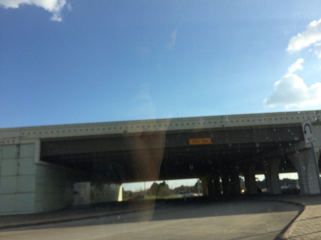
Katy, TX during the early afternoon.
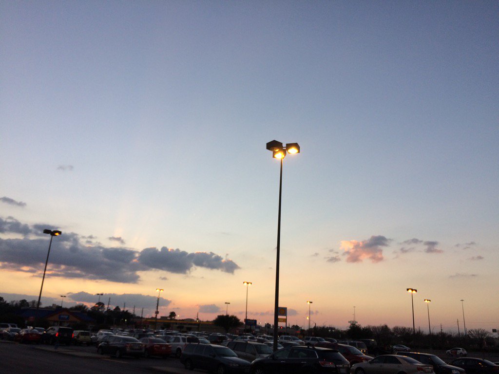
Katy, TX during the late evening.
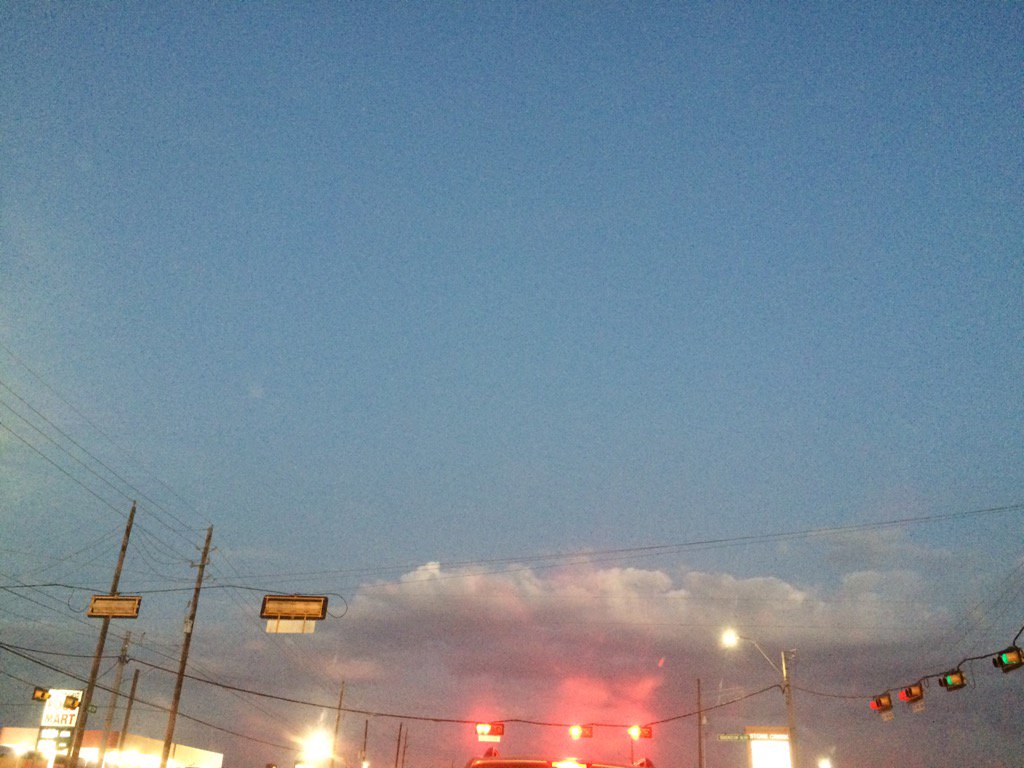
Northwest Houston, TX during the late evening.
Notes: Big to small, bright white, bright white mixed with light to dark grey, thick, flat, puffy, low stratus clouds looked to cover most of the sky in northwest Houston, TX during the morning and afternoon. Big to small, bright white, bright white mixed with light to dark grey, thick, flat, puffy, low stratus clouds looked to cover most of the sky in Cypress, TX, during the early afternoon. Big to small, bright white, bright white mixed with light to dark grey, thick, flat, puffy, low stratus clouds looked to cover most of the sky in Katy, TX during the late afternoon and early evening. Big to small, bright white, bright white mixed with light to dark grey, thick, flat, puffy, low stratus clouds looked to cover most of the sky in northwest Houston, Cypress, and Katy, TX, during the late evening. Big to small, bright white, maybe some bright white mixed with light to dark to grey, thick, flat, puffy, low stratus clouds looked to be scattered across the sky in northwest Houston, TX during the early night. The wind speeds looked to be calm with moderate and moderately strong gusts, maybe some really strong gusts (20-25 mph) in northwest Houston, TX during the morning. The wind speeds looked to be calm with moderate and moderately strong gusts, maybe some really strong gusts (20-25 mph) in northwest Houston, TX and Cypress, TX during the early afternoon. The wind speeds looked to be calm with moderate and moderately strong gusts, maybe some really strong gusts (20-25 mph) in northwest Houston, TX the mid and late afternoon. The wind speeds looked to be calm with moderate and moderately strong gusts, maybe some really strong gusts (20-25 mph) in Katy, TX during the late afternoon and early evening. The wind speeds looked to be calm with moderate gusts in northwest Houston, Cypress, and Katy, TX during the late evening. The wind speeds looked to be calm with maybe some moderate gusts in northwest Houston, TX during the early night. It felt warm in northwest Houston, TX during the early and mid-morning. It started to feel really warm in northwest Houston, TX during the late morning. It felt really warm, almost hot, or maybe hot in northwest Houston and Cypress, TX during the early afternoon. It felt really warm, almost hot, or maybe hot in northwest Houston, TX during the mid-afternoon. It felt really warm in northwest Houston, TX and Katy, TX during the late afternoon. It felt warm in Katy, TX during the early evening. It felt warm in northwest Houston, Cypress, and Katy, TX during the late evening. It felt warm in northwest Houston, TX during the early night. There was a 0 to 20 percent chance for rain for the Houston, TX area during the morning, afternoon, and evening. There was a higher chance for rain for the Houston, TX area during the night. I didn't see any watches, warnings, or watches issued for the Houston, TX area. The lows were in the 70's, or maybe high 60's and the highs were in the mid to high 80's for the Houston, TX area.
Summary: The day was very warm, sunny, and dry. I didn't feel, see, or hear about any rain drops anywhere in, or near the Houston, TX area. I didn't see any rain on the radar, anywhere in, or near the Houston, TX area, during anytime of the day. Some record highs and maybe some record high lows, if not all were broken in and near the Houston, TX area.
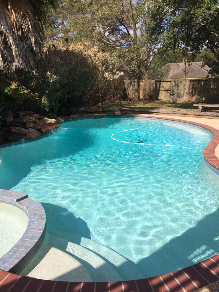
Thoughts: My first night time swim in the pool of the year. The pool water felt ok. No rain yet.
Area Forecast Discussion
Issued by NWS Houston/Galveston, TX
Issued by NWS Houston/Galveston, TX
Versions: 1 2 3 4 5 6 7 8 9 10 11 12 13 14 15 16 17 18 19 20 21 22 23 24 25 26 27 28 29 30 31 32 33 34 35 36 37 3839 40 41 42 43 44 45 46 47 48 49 50
000
FXUS64 KHGX 130346
AFDHGX

Area Forecast Discussion
National Weather Service Houston/Galveston TX
946 PM CST Sun Feb 12 2017

.UPDATE...
Though the cold front is making its way through the area this
evening, dewpoints remain in the low to mid 60s across all of
Southeast Texas at this hour. As such, have tweaked temperatures
to be more in line with the observations, and for low temperatures
a little bit higher than previously thought. Have also tamped down
the already low rain chances in the near term as regional radars
remain completely quiet along the front for now.

Luchs

&&

.PREV DISCUSSION... /ISSUED 549 PM CST Sun Feb 12 2017/

AVIATION...
The weak frontal boundary continues making progress southward across
the area late this afternoon with winds shifting to the north behind
it and persisting from the south and southeast ahead of it. 00Z TAFs
have mainly MVFR ceilings filling into portions of the area overnight.
Some sea fog (possibly dense once again) should form in the bays and
nearshore waters this evening and on through the overnight hours and
could works its way inland across locations that remain ahead of the
front. Might also see some -RA/-SHRA develop in the area. Once again,
calling for MVFR cloud decks tomorrow afternoon which is well above
most guidance. Most models have been incorrectly forecasting mainly
MVFR ceilings across large parts of the area for the past several days,
so not real confident on what might pan out during the day tomorrow
with the frontal boundary in the area.

Southeast Texas`s next best chances of SHRA/TSRA comes during the day
on Tuesday when a storm system moves eastward across the area.  42

PREV DISCUSSION... /ISSUED 340 PM CST Sun Feb 12 2017/

DISCUSSION...
More record highs observed across the region today. Fortunately,
they should be the last ones for a little while. Weak frontal
boundary is about to begin pushing into se Tx in the next few
hours. Some of the model guidance suggests some iso/sct shra
developing along the boundary overnight as it slowly makes its way
southward so have maintained lowish POPs tonight. High pres
behind this front in the cntl plains will track ewd, so this
eventually loses its swd push as it gets closer to the coast. Do
anticipate a slightly cooler airmass to filter in to most inland
areas as winds back to the ne/e. Sea fog expected near the coast
and offshore.

Not a whole lot of changes to the rest of the fcst either. Still
anticipate a sfc wave/low to develop along the stalled front in
the vicinity of the Big Bend area on Monday in advance of the
next approaching upper trof. Looking for this storm system to push
thru se Tx during the day Tuesday from roughly mid morning thru
late afternoon. Deep available moisture with near record daily PW
values will be in place as will impressive llvl shear/helicities.
Marginal instability will be a limiting factor but have seen some
strong/severe cells with much less. Tornadoes/wind would be
primary threat. Not overly confident with a widespread heavy rain
threat just yet. This system looks fairly progressive in nature
and sfc boundary doesn`t look as east/west oriented & perpendicular
to the h85 jet as some of the earlier runs. That being said, with
the high PW`s I am still concerned with potential high rain rates
themselves versus the overall amounts...esp metro areas. Will
maintain the locally heavy rain wording.

This system should be moving out by Valentines evening with mostly
dry wx and seasonable temps filling into the area in its wake.
Return flow sets up Friday with a gradual warming/modifying trend
expected into next weekend.  47

MARINE...
Areas of fog, some dense, will begin to redevelop by early this
evening. Dewpoints in the mid 60s to around 70 moving over water
temperatures of the mid and upper 60s will help with fog formation.
Another factor will be the approach of a front that is expected to
stall out over the inland portions of SE Texas later tonight and on
Tuesday with a repeat on Monday night/Tuesday morning. This front
may backdoor into Galveston Bay on Tuesday; however, a stronger
front will move through the area and clear out the fog on Wednesday.
Moderate to strong offshore winds will develop behind the front with
caution conditions nearshore and advisory conditions offshore likely
over the Gulf waters. These will diminish Wednesday night.  40

&&

.PRELIMINARY POINT TEMPS/POPS...
College Station (CLL)      62  70  60  61  45 /  20  20  30  80  10
Houston (IAH)              65  72  62  71  49 /  20  20  10  90  10
Galveston (GLS)            64  69  64  70  51 /  10  20  10  80  20

&&

.HGX WATCHES/WARNINGS/ADVISORIES...
TX...NONE.
GM...NONE.
&&

$$

Discussion...25
No comments:
Post a Comment