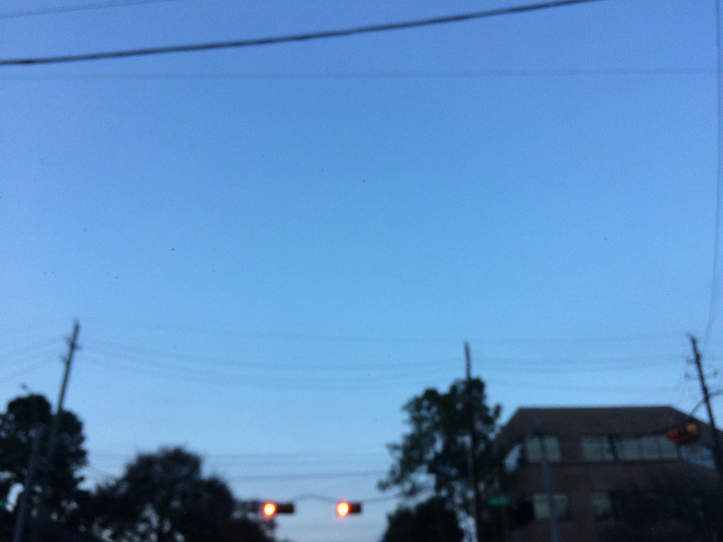
Northwest Houston, TX during the early morning.
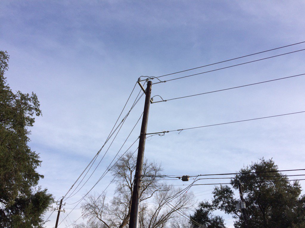
West Houston, TX during the early evening.
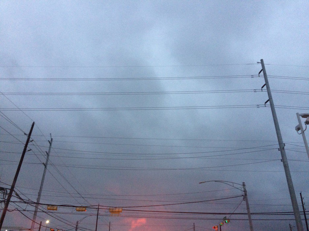
Northwest Houston, TX during the late evening.
Notes: Big to small, bright white mixed with light to dark grey, thick, flat, puffy, low stratus clouds looked to cover most, or maybe the whole sky in northwest and west Houston, TX during the early morning. Big to small, bright white mixed with light to dark grey, thick, flat, puffy, low stratus clouds looked to cover most, or maybe the whole sky in west Houston, TX during the mid-morning. Big to small, bright white with bright white mixed with light to dark grey, thick, flat, some puffy, low and some high stratus clouds looked to be widely scattered across the sky in west Houston, TX during the late morning, afternoon, and early evening. The sky looked to have becoming clear in northwest Houston, TX during the late evening. The sky looked to be clear in northwest Houston, TX during the night. The wind speeds looked to be calm with maybe some moderate gusts in northwest and west Houston, TX during the early morning. I think the wind speeds looked to be calm with moderate gusts and some moderately strong gusts in west Houston, TX during the mid and late morning, afternoon, and early evening. I think the wind speeds looked to be calm with moderate gusts and some moderately strong gusts in northwest Houston, TX during the late evening. The wind speeds looked to be calm with maybe some moderate gusts in northwest Houston, TX during the night. It felt warm in northwest and west Houston, TX during the early morning. It felt warm in west Houston, TX during the mid-morning. It felt really warm in northwest Houston, TX during the late morning. It felt really warm, almost hot in west Houston, TX during the afternoon. It felt warm in west Houston, TX during the early evening. It felt warm in northwest Houston, TX during the late evening and early night. I think there was a 0 to 30 percent chance for rain for the Houston, TX area, during the day. There looked to be a dense fog advisory for the coastal and maybe inland areas of Houston, TX for the morning and night. There was also a fire weather watch issued for the Houston, TX area, for the afternoon and night. The temperature was in the 60's, or maybe 70's in the Houston, TX area during the morning. The temperature was in the low to mid 80's in the Houston, TX area during the afternoon. The temperature was in the mid 70's to low 80's in the Houston, TX area during the evening and night.
Summary: It was a very warm, sunny, and dry day. I don't remember seeing any precip on the Houston, TX radar. I did notice some light drizzle on my windshield as I was entering into west Houston, TX, on my way to work, during the early morning. There looked to possibly be some light dense fog on my way to work from northwest Houston, TX to west Houston, TX during the early morning.
Thoughts: It looks like it is going to be dry and warm for a little while. We broke some record highs! It really feels like spring/summer. A lot more rain is forecast for early next week.
Area Forecast Discussion
Issued by NWS Houston/Galveston, TX
Issued by NWS Houston/Galveston, TX
Versions: 1 2 3 4 5 6 7 8 9 10 11 12 13 14 15 16 17 18 19 20 21 22 23 24 25 26 27 28 29 30 31 32 33 34 35 36 37 3839 40 41 42 43 44 45 46 47 48 49 50
000
FXUS64 KHGX 080516
AFDHGX

Area Forecast Discussion
National Weather Service Houston/Galveston TX
1116 PM CST Tue Feb 7 2017

.AVIATION...
Accurately pegging visibility and ceilings continues to be a
challenge tonight. Sea fog has clearly penetrated the coastal
sites, and appears to be pushing into the vicinity of HOU given
observations in the past 30 minutes. As such, have socked in HOU
more quickly than the previous set of TAFs, but have not gone more
severe in flight conditions at this time. May come to regret this,
but with visibilities still good at IAH, have stepped chosen to go
more with low stratus than fog, now only bringing visibility to
MVFR. However, with IFR ceilings in the TAF, it`s kind of a moot
point. With light winds and relatively clear skies, still go IFR
at CXO, while leaving VFR conditions at CLL and UTS. 6 mile
visibility at UTS at this hour does diminish confidence in this
scenario a little, but will hold to it for now.

Beyond tonight`s fog, continue to flesh out wind shifts across SE
Texas as the frontal passage now appears to be fully within the
forecast period. Based on tonight`s trends, will begin to reduce
visibility at GLS again early in the evening, but clear things
out once the front moves through.

Luchs

&&

.PREV DISCUSSION... /ISSUED 1005 PM CST Tue Feb 7 2017/

UPDATE...
Quick update to the forecast to add dense fog for the coastal
counties where sea fog has moved inland. Visibility at the office
has dropped to under a half mile and continues to get worse. Bay
City, Palacios and Angleton at times have had visibility from a
quarter mile to one mile. Advisory goes until 10AM Wednesday but
likely could be canceled early. Also another tier of inland
counties could be added depending upon how fog develops inland.

Overpeck

PREV DISCUSSION... /ISSUED 825 PM CST Tue Feb 7 2017/

DISCUSSION...
So far tonight the main weather story will be fog both of the
radiation and sea varieties. Sea fog has developed over the bays
and Gulf coastal waters so we have issued a dense fog advisory for
those areas. There is still a question of how dense the fog will
get inland but fog is expected as winds decouple. Surface analysis
shows a gradient in dewpoints from S to N with 60s along the coast
and 40s north of Houston. Question will be how far north fog will
form given the gradient in moisture. Agree with afternoon forecast
that that fog line might be from Brenham to Livingston with fog to
the south of that line. There might be some dense fog along the
coast at sites like KLBX but will continue to monitor other areas
around Houston for dense fog.

The other story will be the high temperature forecast tomorrow.
Highs in the mid/upper 80s look on track. These temperatures
should break the daily record high temperatures at both IAH and
HOU which are 82 and 83 respectively. Winds in the boundary layer
become westerly ahead of a cold front. This front should push
through Wednesday night and lower temperatures Thursday and Friday
by a good 15 degrees. But to put this in perspective, temperatures
Thursday and Friday will still be about 10 degrees above normal.
Normal temperatures for this time of year are mid 60s for high
temperatures and mid 40s for low temperatures.

Overpeck

PREV DISCUSSION... /ISSUED 602 PM CST Tue Feb 7 2017/

AVIATION...
Primary concerns for this forecast period will be fog potential
overnight and frontal passage late tomorrow afternoon/tomorrow
evening. Guidance is very gung ho on sea fog, socking in virtually
all of SE Texas tonight. Wind trajectories do not seem terribly
favorable for a big sea fog event though, and the thought of
advection up to CLL and UTS seems very aggressive. So am leaving
those northern sites untouched. Have some impact for CXO and IAH,
though if winds are light enough, may be more of a radiational,
rather than a sea fog event. Regardless of mechanism, potential
for reduced visibility exists, but will stop well short of the
dense fog proposed by the guidance. Will have to reevaluate those
later. Was increasingly pessimistic towards the coast, and do
forecast VLIFR conditions at GLS.

Tomorrow, should see gradual improvement at most sites sometime
mid/late morning as mixing should shake things up with an
approaching front. Begin to shift winds towards the end of period
far inland as the front appears to be a little quicker than
thought earlier today.

Luchs

PREV DISCUSSION... /ISSUED 343 PM CST Tue Feb 7 2017/

DISCUSSION...
Record-breaking heat blanketed the region this afternoon, with
temperatures as of 3 PM CST in the low to mid 80s. All four
climate sites (College Station, Galveston, Houston IAH, and
Houston HOU) have already broken their record high temperatures
for today and another day of record warmth is expected again on
Wednesday. Records for today and Wednesday are listed below.

          TUE          WED
CLL    83/1999       82/1994
IAH    80/1957       82/1932
HOU    82/1950       83/1962
GLS    76/1904       76/1950

As temperatures cool tonight, low stratus and patchy fog are
expected to develop inland across the southern two-thirds of the
region. Along the coast, warm, moist air flowing over the cooler
shelf waters will result in another night of sea fog along the
coast and across the coastal waters with sea fog possibly
developing as early as late this afternoon. Otherwise, expect
another night of warm overnight lows with temperatures only
falling into the mid 50s to mid 60s.

While low clouds and fog may linger into late morning on
Wednesday before mixing out, the dry airmass in place across the
region combined with westerly winds will allow for temperatures
to again climb into the mid (to possibly upper) 80s. Have trended
temperatures warmer than MOS guidance as a result with several
locations likely breaking records again tomorrow. Elevated fire
weather conditions will likely exist again tomorrow (roughly north
of the Highway 59 corridor) as afternoon relative humidities fall
below 35 percent and winds increase into the 10 to 15 MPH range
and caution is recommended for anyone attempting to engage in
outdoor burning.

A cold front will push across the region Wednesday night,
clearing the Upper Texas Coast by Thursday morning. Little to no
rain is expected with the front as moisture recovery will be
minimal before its passage, but high temperatures on Thursday will
be a good 10-15 degrees cooler than Wednesday with readings in the
low to mid 70s and the front`s passage will end the threat for sea
fog into the weekend. Northerly winds in the wake of the front
will gradually veer to the south by Friday as surface high
pressure slides off to the east. Warm air advection as a result of
the returning southerly flow will allow temperatures to gradually
rise back into the upper 70s and low 80s over the weekend, with a
few associated streamer showers possible each day Friday through
Sunday.

Zonal flow aloft this weekend will transition to southwest flow by
Monday ahead of approaching upper low from the Pacific, with
widespread showers and thunderstorms as this upper system
translates across the region. Medium range guidance continues to
differ on placement and timing of this upper low (and associated
surface features), but it appears that returning moisture and
increasing lift from this system will result in an increasingly
wet period for the region Monday into the middle of next week.

Huffman

MARINE...
Expect to see fog develop again later this afternoon or early
this evening along the coast and expand inland overnight. Dense
fog advisories might be needed. The fog threat should persist
until a cold front moves through the area Wednesday night. Caution
flags are probably going to be needed for the strengthening
northeast winds behind the front, and advisories might be needed
too. A moderate to strong onshore flow resumes Friday morning and
then persists throughout the weekend. Caution and/or advisory
flags will be needed. 42

FIRE WEATHER...
Look for elevated fire weather conditions again tomorrow as
inland afternoon humidities drop into the 20s and 30s with
southwest to west winds around 10 to 15 mph. A cold front moves
through the area Wednesday night with northeast to east winds
Thursday morning at 10 to 15 mph decreasing to 5 to 10 mph
Thursday afternoon. Lowest afternoon humidities are expected to be
in the 30s inland and in the 40s to around 50 near the coast. 42

&&

.PRELIMINARY POINT TEMPS/POPS...
College Station (CLL)      58  86  53  72  48 /   0   0   0   0  10
Houston (IAH)              62  87  55  74  51 /   0   0   0   0  10
Galveston (GLS)            63  78  61  70  60 /  10  10   0   0  10

&&

.HGX WATCHES/WARNINGS/ADVISORIES...
TX...Dense Fog Advisory until 10 AM CST Wednesday for the following
     zones: Brazoria...Chambers...Galveston...Jackson...
     Matagorda.

GM...Dense Fog Advisory until 10 AM CST Wednesday for the following
     zones: Coastal waters from Freeport to the Matagorda Ship
     Channel out 20 NM...Coastal waters from High Island to
     Freeport out 20 NM...Galveston Bay...Matagorda Bay.

&&

$$

Discussion...39
Aviation/Marine...25
Hazardous Weather Outlook
Hazardous Weather Outlook
National Weather Service Houston/Galveston TX
348 PM CST Tue Feb 7 2017

TXZ163-164-176>179-195>200-210>213-226-227-235-082200-
Austin-Brazos-Burleson-Colorado-Fort Bend-Grimes-Harris-Houston-
Jackson-Liberty-Madison-Montgomery-Polk-San Jacinto-Trinity-
Walker-Waller-Washington-Wharton-
348 PM CST Tue Feb 7 2017

This hazardous weather outlook is for portions of Southeast Texas..

.DAY ONE...This Afternoon and Tonight

Elevated fire weather conditions will exist north of a Brenham to
Lufkin line this afternoon.

Patchy fog may drop visibilities below 2 miles at times tonight.

.DAYS TWO THROUGH SEVEN...Wednesday through Monday

Elevated fire weather conditions are possible Wednesday afternoon
north of the Highway 59 corridor.

.SPOTTER INFORMATION STATEMENT...

Spotter activation will not be needed.

$$
No comments:
Post a Comment