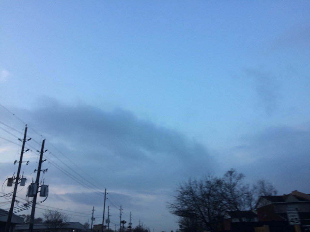
Northwest Houston, TX, during the early morning.
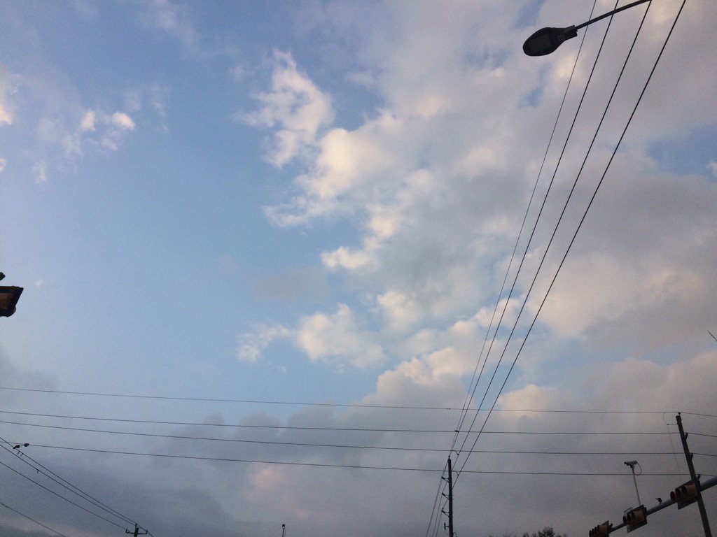
West Houston, TX, during the early morning.
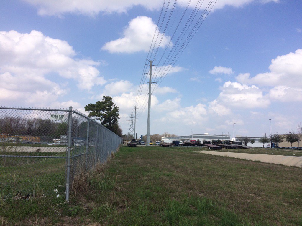
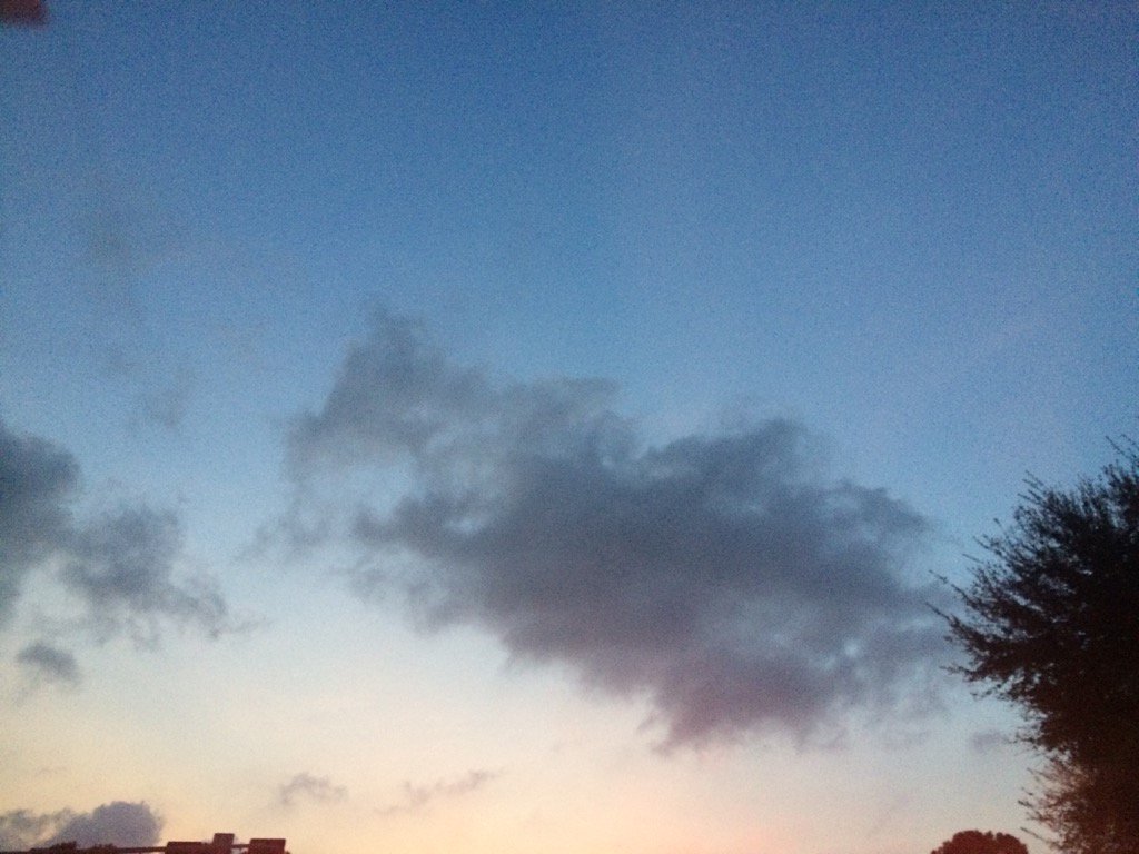
West Houston, TX, during the early afternoon.
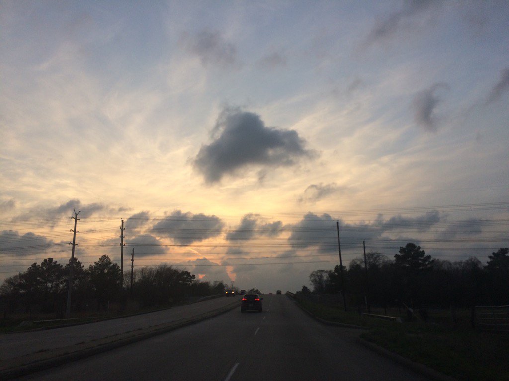
Northwest Houston, TX, during the late evening.
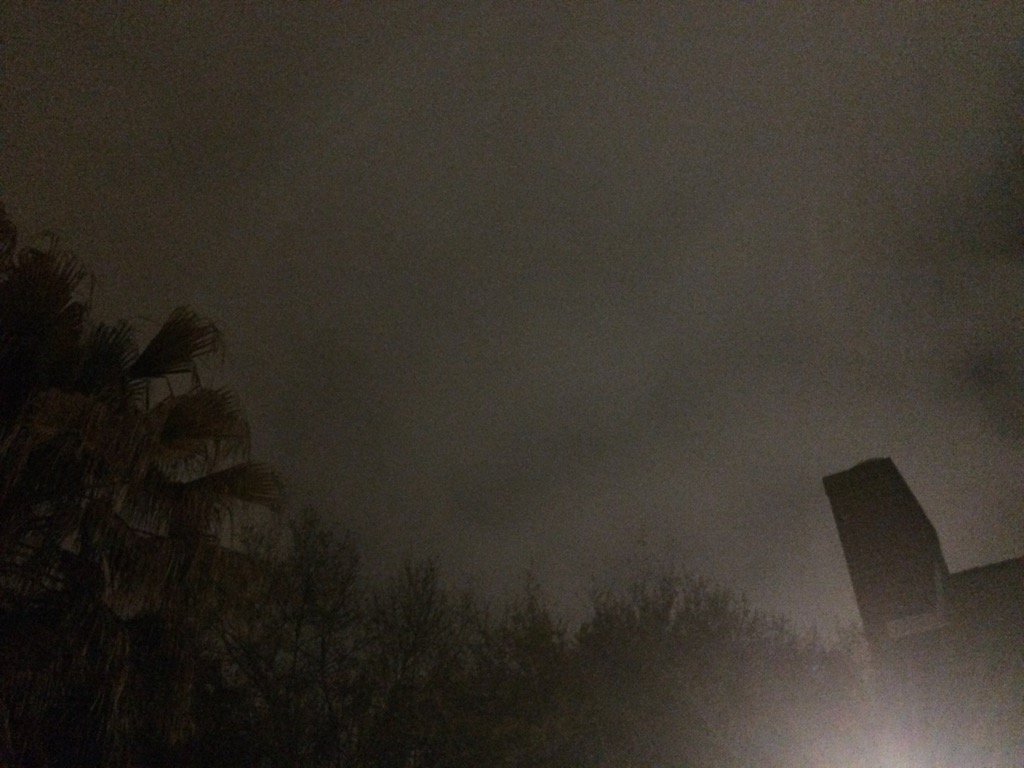
Northwest Houston, TX, during the early night.
Summary: The day was warm, mostly cloudy, and dry. Some rain in some locations in and around the Houston, TX area, during the morning, afternoon, and maybe evening and night. I didn't see any rain, but some rain looked to have maybe fallen at my house, sometime during the early morning, before sunrise. I didn't hear about any advisories, watches, or warnings issued for the Houston, TX area, during anytime of the day. There were moderately strong to really strong gusts (20 to maybe 25 + mph) when I was in west Houston, TX, during the morning, afternoon, and evening. The lows for the Houston, TX area were in the 60's and the highs were in the 80's.
Locations: Northwest and west Houston, TX.
Thoughts: The day was pretty pleasant.
Area Forecast Discussion
Issued by NWS Houston/Galveston, TX
Area Forecast Discussion
Issued by NWS Houston/Galveston, TX
Versions: 1 2 3 4 5 6 7 8 9 10 11 12 13 14 15 16 17 18 19 20 21 22 23 24 25 26 27 28 29 30 31 32 33 34 35 36 37 3839 40 41 42 43 44 45 46 47 48 49 50
000
FXUS64 KHGX 280018
AFDHGX

Area Forecast Discussion
National Weather Service Houston/Galveston TX
618 PM CST Mon Feb 27 2017


.AVIATION...
Moisture in the LL increasing and large area of cloud cover over
the gulf indicative of the increased RH in the LL will overspread
the area tonight. MVFR CIGS will become widespread tonight. Timing
the onset is tricky with trajectories aimed more east of the main
hubs but expect that between 00-04z IAH/HOU/GLS/SGR will go MVFR.
Improvement will be slow after sunrise but between 14-16z drier
air aloft mixes in with daytime heating and skies should go
scattered to broken 2000-3000ft. Further mixing in the afternoon
scatters out the deck with gusty southerly winds 10-15G15-20kt.
A few specks of rain possible beneath the cap between 12-16z but
insignificant.
45

&&

.PREV DISCUSSION... /ISSUED 352 PM CST Mon Feb 27 2017/

DISCUSSION...
A warm and muggy afternoon...above normal warmth with a slight
chance for a passing shower. This short forecast synopsis applies
to today and tomorrow. A cold frontal passage Wednesday morning
during the daylight hours will increase moderate chance...low QPF
showers with the occasional isolated thunderstorm. Models are not
overly aggressive with downstream convection per a developing
stout mid-level inversion brought on by enhanced southwesterly
flow advecting in upper teen 85H south central TX temperatures.
Mid week backing high pressure will tighten the offshore pressure
gradient and hoist maritime advisory flags late Wednesday into
early Thursday per post-frontal strong northerlies. Wednesday
afternoon will be breezy with clearing skies...a respite from
these recently warm days to end this warmest February on record.
March will commence on a cooler (post-frontal) note...70s Wednesday
afternoon with temperatures falling into the 40s Thursday morning.
A mostly sunny and significantly drier Thursday will make this
the best day of the work week (if you enjoy clear skies and lower
humidity). Plenty of sun Thursday as temperatures warm into the
comfortable average upper 60s...regional relative humidities will
fall into the 20 percentile range.

High pressure moving into the Ohio River Valley will have our
winds veering around to onshore by mid to late Friday. Increasing
west to southwest cloud cover as coastal Texas pressures lower
downstream of an upper low hanging back off Baja. The development
and eventual positioning of a coastal trough going into Saturday
will determine the first weekend of March`s rain probabilities...
amounts and location. The only consistent marker is that subsequent
model runs have shown that there will be the existence of a (near)
coastal trough and...with a weak cold front slated to be in the
vicinity (within 1.6 pwat/near 99th percentile air mass) Monday or
Tuesday...long range likely rain chances are warranted. Overcast
and unsettled weather on Days 5 through 8 with subsequent warming
from the 40s/60s Friday to the 60s/80s? next Monday. 31

Marine...
A light onshore flow will persist tonight as low pressure develops
over the central plains. Winds will gradually increase on Tuesday
and a SCEC may be required tomorrow. The low will move toward the
Western Great Lakes Tuesday night and drag a cold front across the
region early Wednesday afternoon. A strong offshore flow will develop
by Wednesday evening and a Small Craft Advisory will likely be
required Wednesday night into Thursday. Surface high pressure will
settle over the central plains and slowly move east on Friday.
Winds will veer to the east on Friday and to the southeast by
Saturday night. The persistent east winds will likely lead to
elevated seas and tide levels late in the week. A series of upper
level disturbances will bring unsettled weather to the coastal
waters over the weekend. Onshore winds are expected to continue
through next Tuesday. Another cold front will be possible next
Wednesday. 43

&&

.PRELIMINARY POINT TEMPS/POPS...
College Station (CLL)      67  85  63  71  44 /  10  30  30  20  10
Houston (IAH)              69  84  70  77  48 /  10  20  20  40  10
Galveston (GLS)            68  75  69  75  55 /  10  10  10  40  10

&&

.HGX WATCHES/WARNINGS/ADVISORIES...
TX...NONE.
GM...NONE.
&&

$$

Discussion...41
Aviation/Marine...45
No comments:
Post a Comment