Northwest Houston, TX, during the early morning.
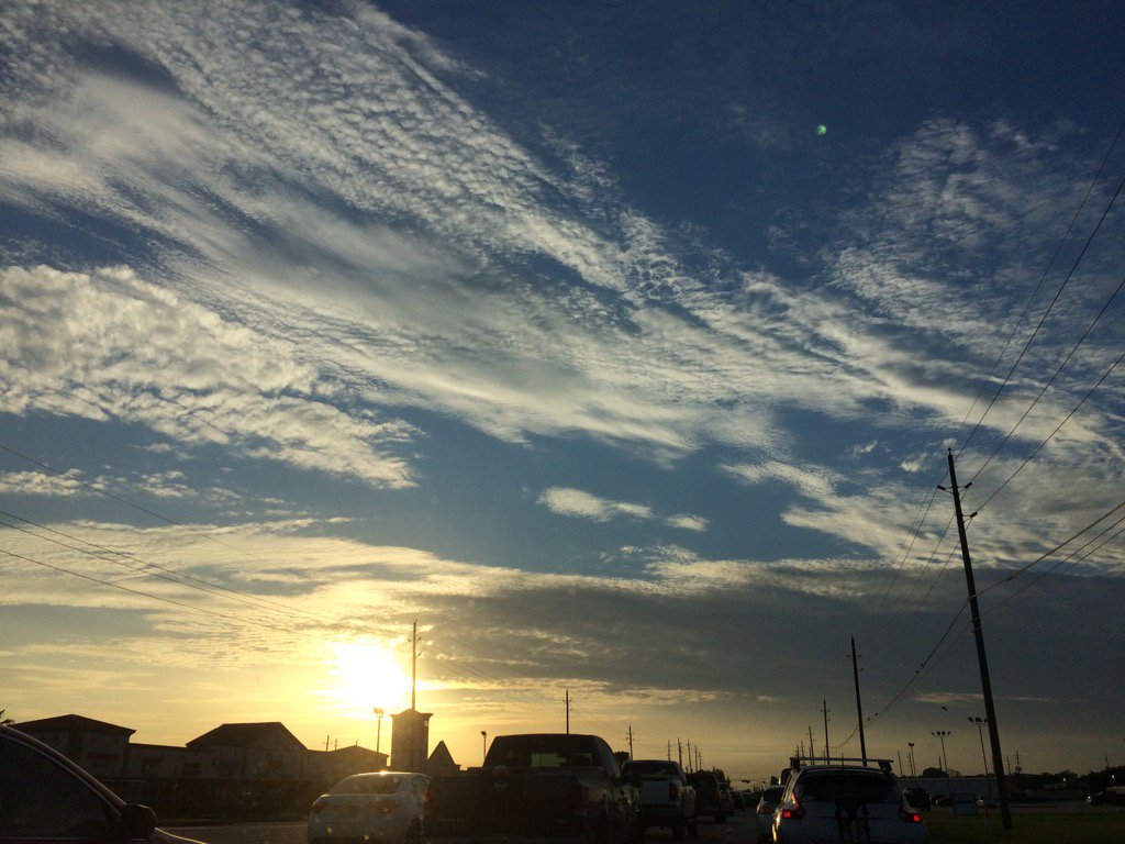
Northwest Houston, TX, during the early evening.
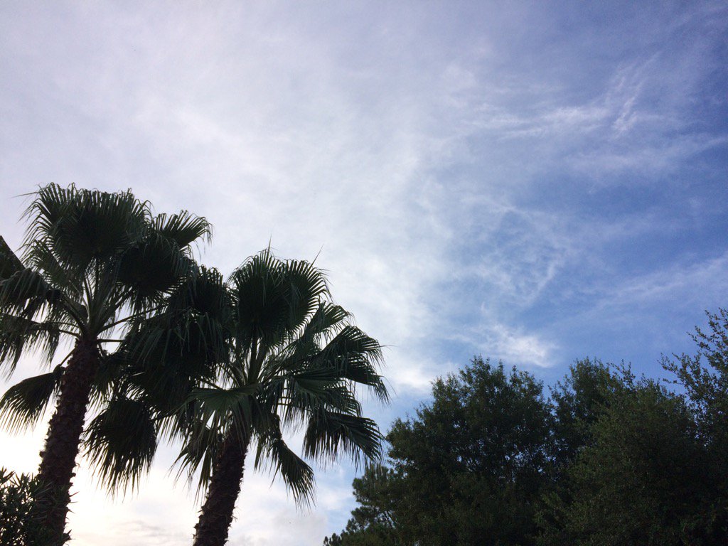
Northwest Houston, TX, during the late evening.
Summary: The day was mostly cloudy, dry, and calm. Isolated light to moderate showers looked to be in and around the Houston, TX area, during the morning and early afternoon. A group of scattered light to heavy showers and possible thunderstorms looked to cover most of east and some other areas of Houston, TX, during the mid and late afternoon and evening. There looked to be a few scattered light showers on the Houston, TX radar, during the night. I didn't see, feel, or hear any rain drops. I did see some storm clouds while I was at work in northwest Houston, TX, during the mid and late afternoon and evening. Alto and cirro stratus clouds looked to cover most of the sky, during the morning, afternoon, evening, and maybe night. There was also some cumulus and possible nimbus clouds in the sky, during the mid and late afternoon and evening. The wind speeds looked to be calm with maybe some gentle to moderate gusts. It felt warm during the early morning, mid and late afternoon, evening, and night. It felt very warm during the mid-morning. It felt hot during the late morning and early afternoon. It started to feel warm with the cloud cover from the nearby showers and possible thunderstorms, during the mid-afternoon. There was a Hazardous Weather Outlook issued for the Houston, TX area, by NOAA.
Storm Summary: I didn't see, or hear about any flooding, or damage from the showers and possible thunderstorms that passed through parts of the Houston, TX area.
My Storm Summary: I started to see some dark clouds while I was at work in northwest Houston, TX, during the mid-afternoon and continued to see them through the early evening. I didn't feel, or see any rain, or hear any thunder, or see any lightning strikes from them.
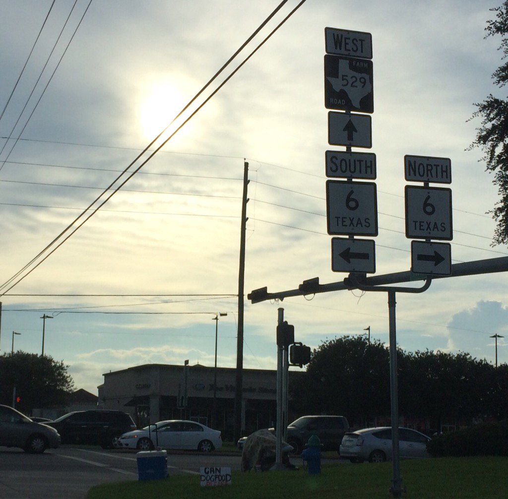
Locations: Northwest Houston, TX
Thoughts: Well the weather has been quite since I saw all that rain on Sunday. More rain chances with hot temps ahead for the Houston, TX area. I hope to see some more rain, as always.
Hazardous Weather Outlook
Hazardous Weather Outlook
National Weather Service Houston/Galveston TX
933 AM CDT Tue Jul 11 2017

TXZ199-200-212>214-227-237-238-121445-
Brazoria-Chambers-Fort Bend-Galveston-Harris-Liberty-Montgomery-
Waller-
933 AM CDT Tue Jul 11 2017

This hazardous weather outlook is for portions of Southeast Texas..

.DAY ONE...Today and Tonight

Scattered thunderstorms will be possible this afternoon. The
storms will be slow moving or nearly stationary and capable of
locally heavy rain in the stronger storms. Rainfall accumulations
of 1 to 3 inches will be possible in less than 1 hour and could
cause street flooding. Isolated strong storms could produce brief
gusty winds during the afternoon.

.DAYS TWO THROUGH SEVEN...Wednesday through Monday

Scattered thunderstorms will continue to be possible each day.
Isolated strong storms could produce locally heavy rainfall and
strong gusty winds.

.SPOTTER INFORMATION STATEMENT...

Spotter activation will not be needed.

$$
No comments:
Post a Comment