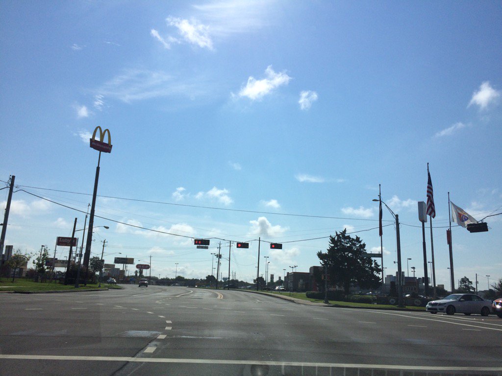
Tomball, TX, during the late morning.
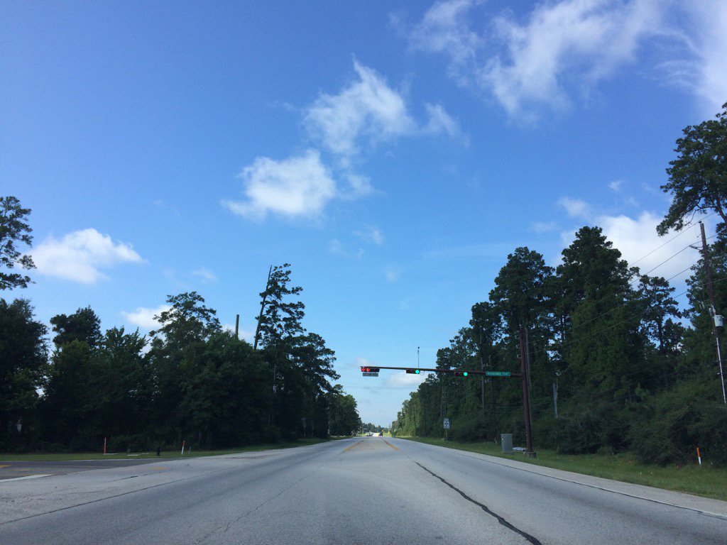
The Woodlands, TX, during the late morning.
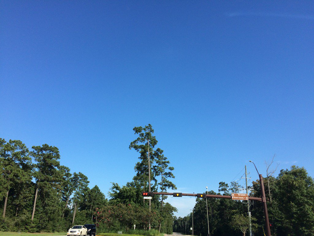
The Woodlands, TX, during the early evening.
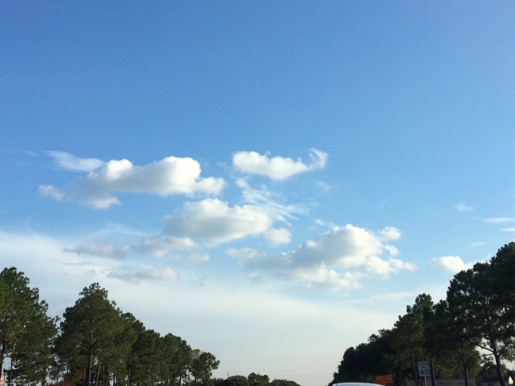
Northwest Houston, TX, during the late evening.
Summary: The day was hot, dry, and sunny. Isolated light to moderate showers with a few heavy thunderstorms popped up in and around the Houston, TX area, during the afternoon and evening. There was also some isolated light to maybe moderate showers in and around the Houston, TX area, during the morning and night. I didn't see, feel, or hear any rain drops. Stratus and stratocumulus clouds looked to be scattered across the sky, during the morning, afternoon, evening, and maybe night. The wind speeds looked to be calm with maybe some gentle to moderate gusts. It felt warm during the early morning, late evening, and night. It very warm, becoming hot, during the mid-morning. It felt hot during the late morning and afternoon. It started to feel warm during the early evening. There was a Hazardous Weather Outlook issued for the Houston, TX area. There were no other watches, warnings, alerts, advisories, or weather statements/outlooks issued for the Houston, TX area, that I know of. The low temps looked to be in the 70's and the high temps looked to be in the 90's, for the Houston, TX area.
Storm Summary: I didn't hear any reports of flooding, or storm damage.
Locations: Northwest Houston, TX, the Galleria in Houston, TX, Tomball, TX, Bellaire, TX, and maybe Klien, TX.
Thoughts: Still more rain chances ahead. It was a pretty hot day today in Houston, TX.
Area Forecast Discussion
Issued by NWS Houston/Galveston, TX
Issued by NWS Houston/Galveston, TX
Versions: 1 2 3 4 5 6 7 8 9 10 11 12 13 14 15 16 17 18 19 20 21 22 23 24 25 26 27 28 29 30 31 32 33 34 35 36 37 38 3940 41 42 43 44 45 46 47 48 49 50
000
FXUS64 KHGX 170306
AFDHGX

Area Forecast Discussion
National Weather Service Houston/Galveston TX
1006 PM CDT Sun Jul 16 2017

.DISCUSSION...
A few showers noted over the western portions of the CWA this ev-
ening given the last gasps of boundary collisions. Not expecting
any more development over inland areas overnight, save for areas
right along the coast (as showers form across the coastal waters
and move onshore). Low/mid 70 dewpoints noted over much of SE TX
could translate to widespread patchy ground fog through sunrise.
Current grids look on track and no major changes planned at this
time. 41

&&

.PREV DISCUSSION...  /ISSUED 402 PM CDT Sun Jul 16 2017/

A much quieter day with the only mentionable convection occurring
on opposing sides of the forecast area...Houston and
Matagorda/Brazoria County discrete thunderstorm cells. The main
threats with these storms have been bursts of lightning and short-
lived high rainfall rates that may have lead to nuisance flooding
of low lying areas and roadways. The lack of any appreciable
shortwave disturbance likely the reasoning for the slower day as
there has been no change to the thermo nor moisture profiles. Prog
soundings still depict 6 to 7 deg C sfc-3 km lapse rates with
above 2k CAPE/30-35 K indices/neg 5 to neg 8 Lifted
Indices...along with 1.8 to around 2.0 inch pwats over the next
couple of days. Thus...stability (or the lack thereof) and high
moisture will remain in the picture through the period with little
to no decline in the above numbers each subsequent day. So...the
driver to day-to-day convective areal coverage/behavior will be in
what can generate (weak) lift.

Texas will remain under the weak underside of Southern Plains ridging
that will allow weak eastern disturbances to travel in from the Gulf
or move down out of the Mississippi River Valley and around the eastern
flank of a 592-ish dam 5H high. This scenario will increase the overall
shower/storm coverage with these shortwave passages. If this occurs
during the overnight hours then the area can expect more isolated
to scattered activity. A daytime passage will pick up coverage to
more widespread to numerous cell behavior (think today for the
former...yesterday for the latter). Ordinary cells will flare up
during the late morning to early afternoon heat and this will
place mesoscale boundaries about for which new cells to propagate
and evolve upon. Weak winds within the column itself will equate
to slow storm motions and this will present issues with localized
high rain rates leading to short-lived flooding episodes. Bursts
of lightning within storms can be a precursor to downstream strengthening
but also serve as a reminder to go indoors until you can no longer
hear the thunder. The two elements of more folks outdoors and a
higher frequency of thunderstorms increase the probabilities of
having more lightning-related injuries and/or fatalities.

The extended solutions have the Central U.S. ridge expanding further
eastward into the Ohio river Valley by late week. This more
eastward than southward height increase will still place the Lone
Star in a relative weakness channel. So the good news is that we
will likely not be going into a prolonged dry pattern but the flip
side to this is that we may still have a series of days where
strong to possibly brief severe weather impacts us. Statistical
model guidance has around a 50 percent chance of daily precipitation
for the city...around 30 percent for our northern reaches and
40 to 50 percent for our coastal counties. No activity is forecast
in the tropics so there is no need to discuss the Florida-centering
of the upper ridge and the steering flow that comes with this
positioning right? This week`s temperature diurnal curve will
closely parallel climatology with a degree or three fluctuation
through Wednesday. Possibly late week stronger ridging and 85H
temperatures reaching 20 deg C leans this forecast towards near to
slightly above normal T values. 31

&&

.PRELIMINARY POINT TEMPS/POPS...
College Station (CLL)      74  93  75  94  75 /  10  40  20  40  10
Houston (IAH)              75  91  77  92  77 /  10  60  30  60  10
Galveston (GLS)            80  89  81  89  82 /  20  60  50  60  20

&&

.HGX WATCHES/WARNINGS/ADVISORIES...
TX...NONE.
GM...NONE.
&&

$$
Hazardous Weather Outlook
Hazardous Weather Outlook
National Weather Service Houston/Galveston TX
844 AM CDT Sun Jul 16 2017

TXZ163-164-176>179-195>200-210>214-226-227-235>238-171345-
Austin-Brazoria-Brazos-Burleson-Chambers-Colorado-Fort Bend-
Galveston-Grimes-Harris-Houston-Jackson-Liberty-Madison-Matagorda-
Montgomery-Polk-San Jacinto-Trinity-Walker-Waller-Washington-
Wharton-
844 AM CDT Sun Jul 16 2017

This hazardous weather outlook is for portions of Southeast Texas..

.DAY ONE...Today and Tonight

Scattered to numerous showers and thunderstorms will be possible
through this evening. Some of these storms could produce locally
heavy rainfall and strong gusty winds. Funnel clouds are also
possible and...while many funnel clouds will never reach the
ground...there is always the possibility of any funnel touching
the ground to become a short lived tornado. Storm coverage will
likely decrease late this evening with the loss of daytime heating.

.DAYS TWO THROUGH SEVEN...Monday through Saturday

Scattered thunderstorms will be possible each day. Some of these
storms could quickly strengthen and produce locally heavy rainfall
and gusty winds.

.SPOTTER INFORMATION STATEMENT...

Spotter awareness during the day will be heightened throughout
the coming week.


$$
No comments:
Post a Comment