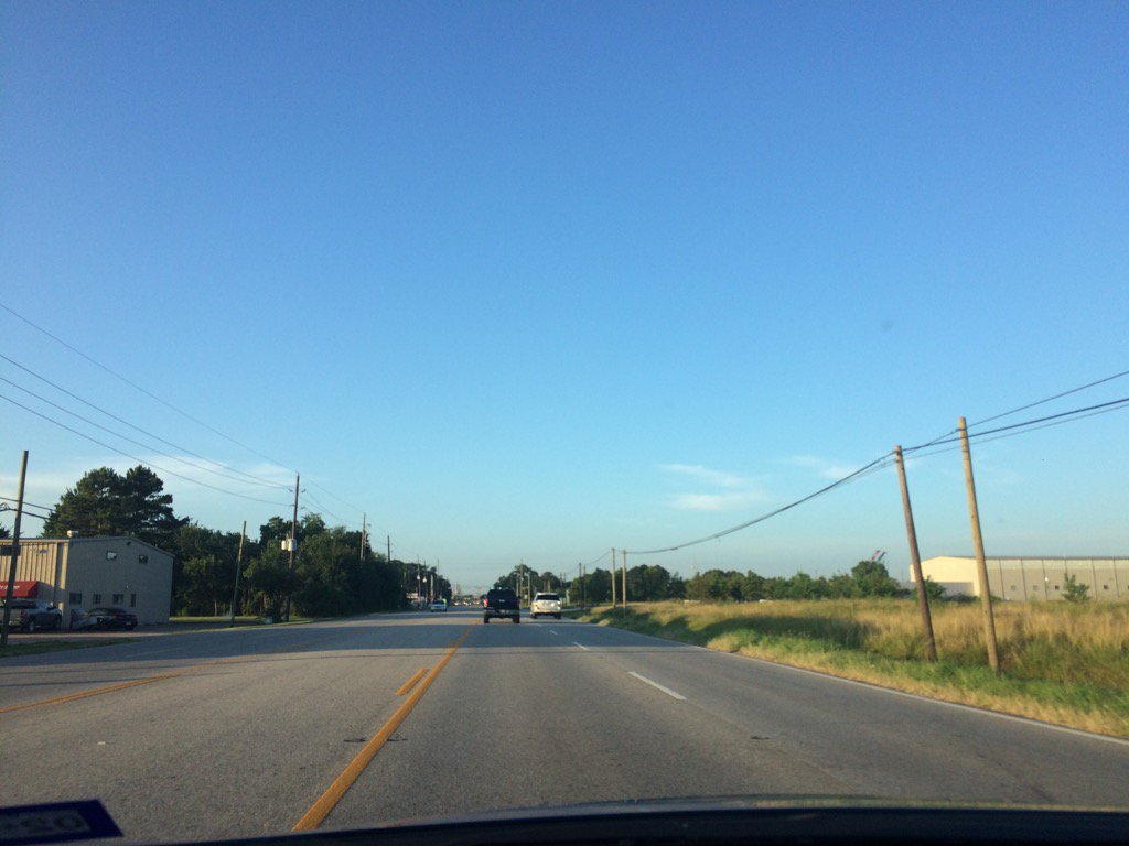
Northwest Houston, TX, during the early morning.
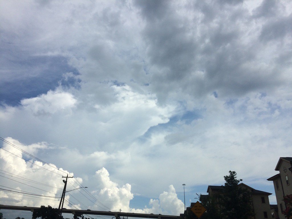
West Houston, TX, during the late afternoon.
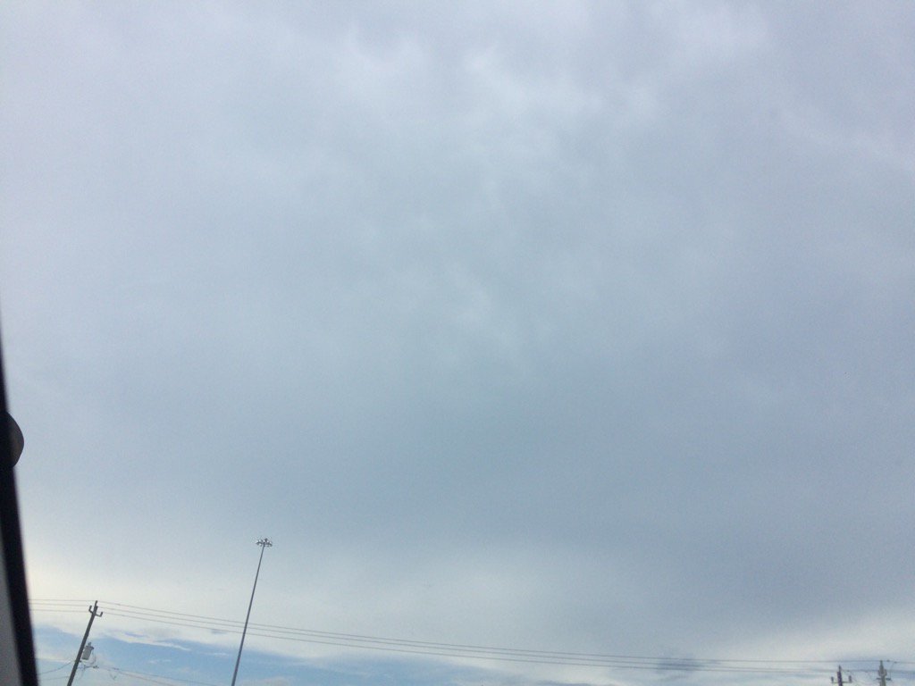
West, or maybe northwest Houston, TX, during the early evening.
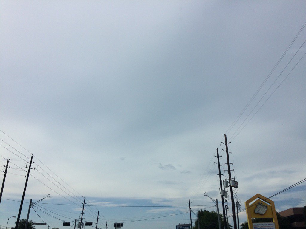
Northwest Houston, TX, during the early evening.
Summary: The day was mostly cloudy, a little wet, and calm. Mostly isolated with some scattered, mostly light to moderate showers and isolated heavy thunderstorms popped up in and around the Houston, TX area, during the morning, afternoon, evening, and early night. There looked to be some lingering light to moderate showers on the radar, in and around the Houston, TX area, during the late night. A isolated heavy thunderstorm with cloud to ground lightning passed over the place where i work in northwest Houston, TX, during the early afternoon and continued on through the mid-afternoon. I didn't see any more rain after that, but I did hear some more thunder from a nearby isolated heavy thunderstorm, during the late evening, at my house in northwest Houston, TX. Alto stratus and stratus with some stratocumulus clouds partly covered to scattered the sky, during the morning. Alto stratus, stratus, and stratocumulus with some nimbus clouds looked to cover most of the sky, during the afternoon, evening, and maybe early night. The sky looked to be partly covered in alto, or maybe cirro stratus clouds, during the late night. The wind speeds looked to be calm with some gentle to moderate and some moderately strong gusts. It felt warm during the morning, mid and late afternoon, evening, and night. It felt very warm during the mid-morning. It felt hot, almost very hot, during the late morning and most of the early afternoon. It started to feel warm with the thunderstorm, during the early afternoon. There was a Hazardous Weather Outlook issued for the Houston, TX area, by NOAA. There were no other watches, warnings, alerts, advisories, or weather statements/outlooks issued for the Houston, TX, that I know of. The low temps looked to be in the 70's and the high temps looked to be in the 90's, for the Houston, TX area.
Storm Summary: I didn't see, or hear any reports of flooding and there was no reported damage. Just some cloud to ground lightning strikes and a few power outages.
My Storm Summary: A strong thunderstorm passed over where I work in northwest Houston, TX, during the early afternoon bringing heavy rain and cloud to ground lightning strikes. The heavy rain became a light rain/drizzle with still some loud rumbles of thunder and possible cloud to ground lightning strikes, during the mid-afternoon. That was the last time that I saw rain. The power did go out for a couple of minutes where I work in northwest Houston, TX, sometime during the early, or maybe mid-afternoon. I didn't see any flooding, just some big puddles and really wet roads. I heard some more thunder, during the late evening, from a nearby heavy thunderstorm, at my house in northwest Houston, TX. I didn't see any rain from this thunderstorm. I didn't see any more showers, or thunderstorms after that.
Locations: Northwest and west Houston, TX.
Thoughts: I was happy to see all the lightning with loud thunder and heavy rain today. There are still a lot more rain chances on the way this week and next for the Houston, TX area. I am enjoying this stormy summer.
Hazardous Weather Outlook
Hazardous Weather Outlook
National Weather Service Houston/Galveston TX
326 AM CDT Thu Jul 13 2017

GMZ335-TXZ163-164-176>179-195>200-210>214-226-227-235>238-141300-
Austin-Brazoria-Brazos-Burleson-Chambers-Colorado-Fort Bend-
Galveston-Galveston Bay-Grimes-Harris-Houston-Jackson-Liberty-
Madison-Matagorda-Montgomery-Polk-San Jacinto-Trinity-Walker-
Waller-Washington-Wharton-
326 AM CDT Thu Jul 13 2017

This hazardous weather outlook is for portions of Southeast Texas..

.DAY ONE...Today and Tonight

Isolated to scattered thunderstorms will be possible today. Best
chances will occur along the coastal counties and along and east
of the I-45 corridor. Isolated strong storms could produce locally
heavy rainfall and strong gusty winds.

.DAYS TWO THROUGH SEVEN...Friday through Wednesday

Scattered thunderstorms will continue to affect the area. Isolated
strong storms could produce locally heavy rainfall and strong
gusty winds.

.SPOTTER INFORMATION STATEMENT...

Spotter activation will not be needed.

$$
No comments:
Post a Comment