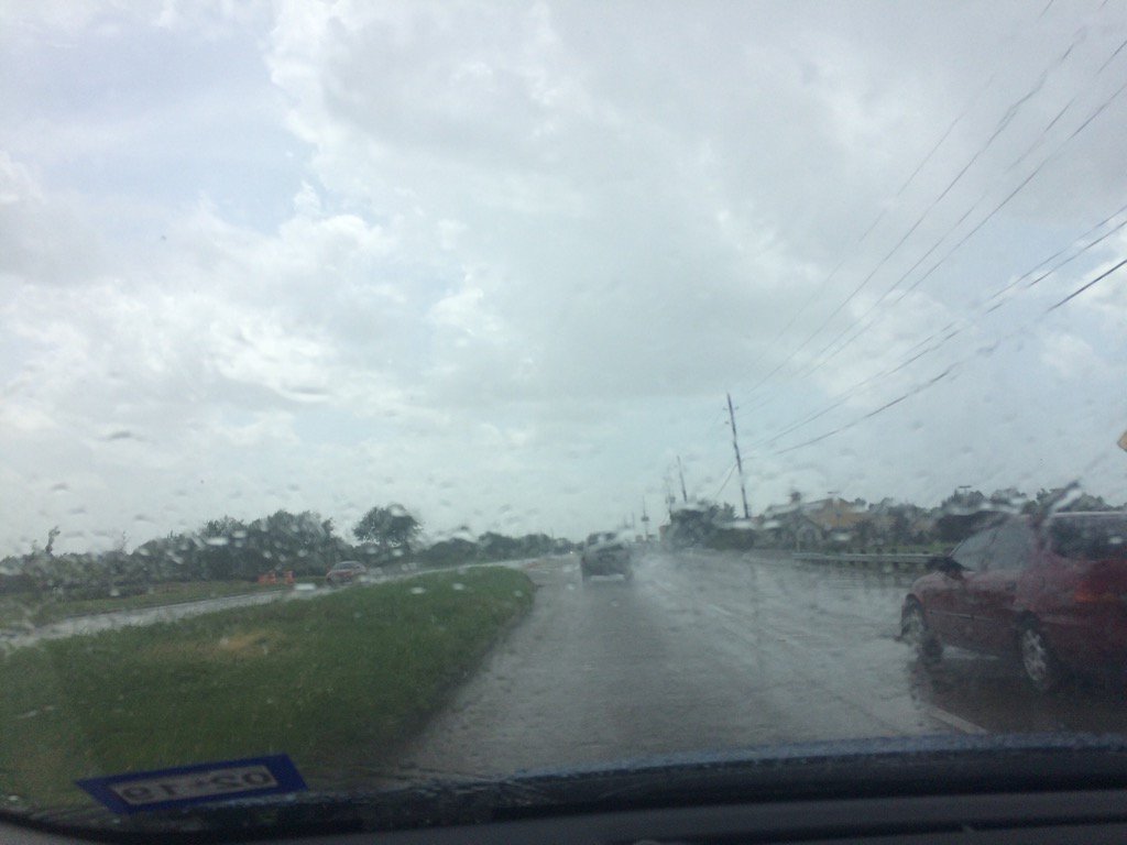
Northwest Houston, TX, during the mid-afternoon.
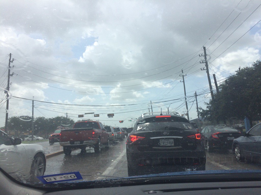
Near Cypress, TX, during the mid-afternoon.
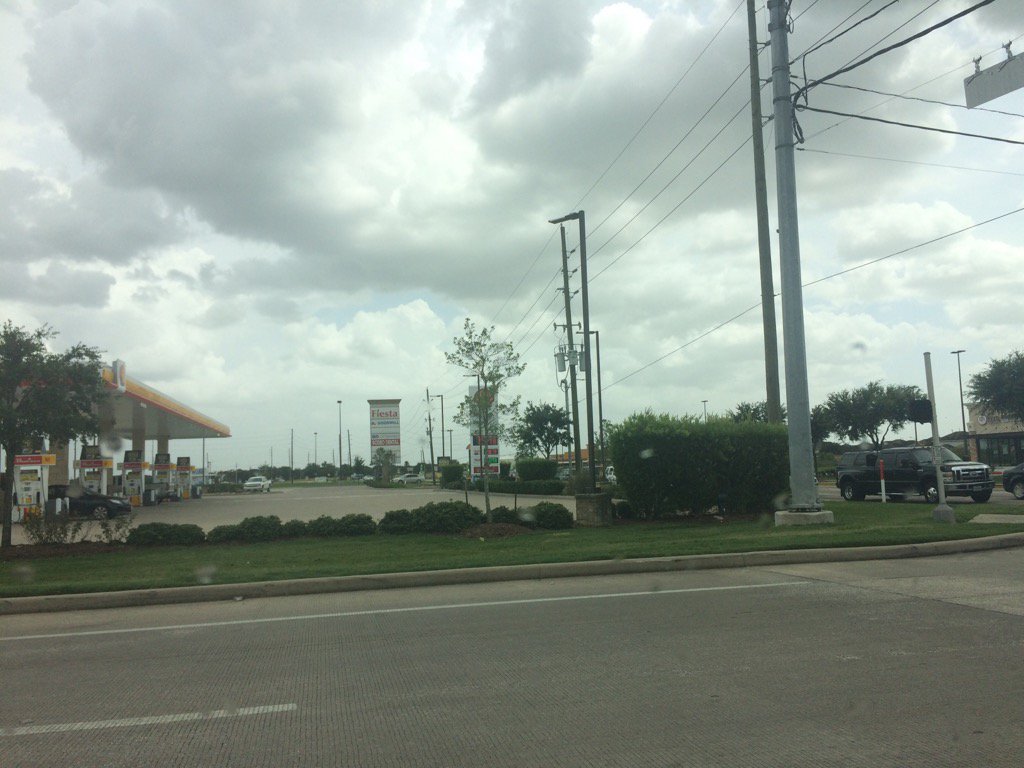
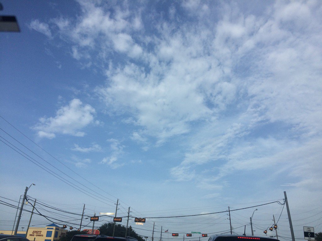
Katy, TX, during the mid-afternoon.
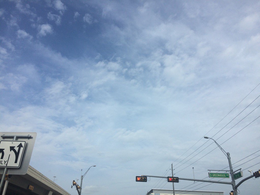
Katy, TX, during the early evening.
Near Cypress, TX, during the early evening.
Summary: The day was very warm, mostly cloudy, and mostly dry. Isolated light to moderately heavy showers and a few moderately heavy and heavy thunderstorms were scattered in and around the Houston, TX area, during the mid and late afternoon, and evening. There might have been some isolated light to moderate showers in and around the Houston, TX area, during the morning, early afternoon, and night. I drove through a moderately heavy thunderstorm in northwest Houston, TX and Cypress, TX, during the mid-afternoon. I didn't see any more rain after that. Alto stratus, stratus and strato cumulus clouds looked to cover most of the sky, during the morning, afternoon, evening, and maybe night. There also might have been some nimbus clouds, during the mid and late afternoon and maybe evening. The wind speeds looked to be calm with gentle to moderate gusts with some moderately strong to really strong gusts. It felt warm during the early morning, late evening, and night. It felt very warm, during the mid-morning. It felt very warm, almost hot, during the late morning and early afternoon. It felt warm in northwest Houston, TX and hot in Katy, TX, during the mid and late afternoon. It felt very warm, during the early evening. There was a Hazardous Weather Outlook issued by NOAA, for the Houston, TX area. There were no other watches, warnings, alerts, advisories, or weather statements/outlooks issued for the Houston, TX area, during that I know of. The low temps looked to be in the 70's and the high temps looked to be in the 90's, for most of the Houston, TX area.
Storm Summary: There were no reports of flooding, or storm damages, that I know of.
My Storm Summary: A moderately heavy thunderstorm was passing over my House in northwest Houston, TX, as I was leaving to go volunteer at a Petsmart in Katy, TX, during the mid-afternoon. The storm followed me through Cypress, TX, but had stopped once I got to Katy, TX. I didn't see, or feel any more rain drops after that. I didn't see any flooding, or storm damages. Just some small puddles and brief wet roads.
Locations: Northwest Houston, TX, Cypress, TX, and Katy, TX.
Thoughts: I got to see more rain today. It looks like the last for awhile.
Hazardous Weather Outlook
Hazardous Weather Outlook
National Weather Service Houston/Galveston TX
423 AM CDT Sun Jul 23 2017

GMZ330-335-350-355-370-375-TXZ163-164-176>179-195>200-210>214-226-
227-235>238-241200-
Austin-Brazoria-Brazos-Burleson-Chambers-
Coastal waters from Freeport to the Matagorda Ship Channel out
20 NM-Coastal waters from High Island to Freeport out 20 NM-
Colorado-Fort Bend-Galveston-Galveston Bay-Grimes-Harris-Houston-
Jackson-Liberty-Madison-Matagorda-Matagorda Bay-Montgomery-Polk-
San Jacinto-Trinity-Walker-Waller-Washington-
Waters from Freeport to the Matagorda Ship Channel from 20 to
60 NM-Waters from High Island to Freeport from 20 to 60 NM-
Wharton-
423 AM CDT Sun Jul 23 2017

This hazardous weather outlook is for portions of Southeast Texas.

.DAY ONE...Today and Tonight

The area should see some showers and thunderstorms today with better
chances east and lower chances west.

.DAYS TWO THROUGH SEVEN...Monday through Saturday

As the upcoming week progresses, rain chances come down, but heat index
values might have the potential to rise toward heat advisory levels.
Make sure precautions are taken to keep people and pets safe.

.SPOTTER INFORMATION STATEMENT...

Spotter activation is not expected at this time.

$$
No comments:
Post a Comment