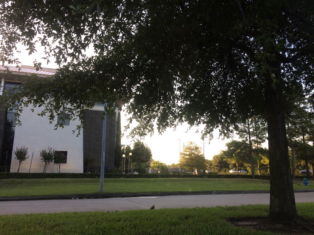
Northwest Houston, TX, during the early morning.
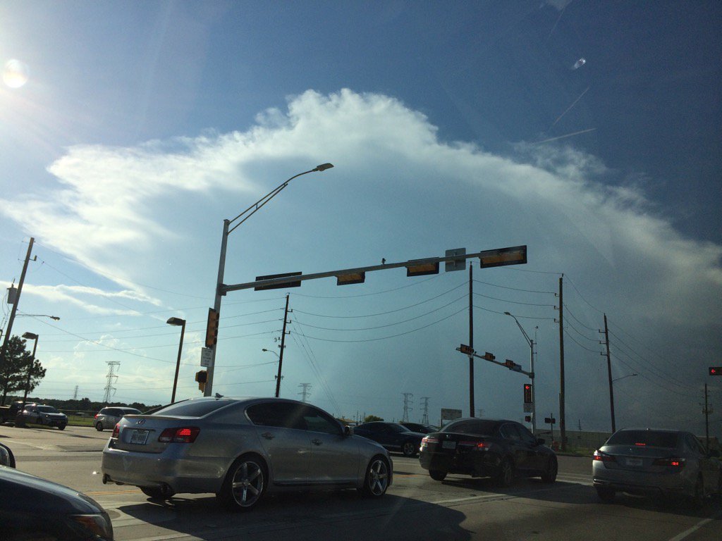
Northwest Houston, TX, during the early evening.
Summary: The day was hot, sunny, and dry. Scattered light to heavy showers and thunderstorms looked to pop up in and around the Houston, TX area, during the morning, afternoon, evening, and maybe night. I didn't see, feel, or hear any rain drops. Stratus with maybe some stratocumulus clouds looked to be scattered across the sky, during the morning. Stratus and stratocumulus clouds with some nimbus clouds, looked to cover most of the sky, during the afternoon, evening, and maybe night. It felt warm during the early and mid-morning, late evening, and night. It felt hot during the late morning, early afternoon, and early evening. it started to feel really hot, during the mid-afternoon. It felt really hot, during the late afternoon. There was a Hazardous Weather Outlook issued for the Houston, TX area, by NOAA. There were no other watches, warnings, alerts, advisories, or weather statements/outlooks issued for the Houston, TX area, that I know of. The low temps looked to be in the 70's and the high temps looked to be in the 90's with maybe some 80's, for the Houston, TX area.
Storm Summary: I didn't see, or hear about any flooding, or damage reports.
Locations: Northwest Houston, TX.
Thoughts: It has been feeling really hot lately. I really hope I get to see some rain soon. The rain has just been passing over me these past couple of days. But there is still more rain in the forecast, before next weeks forecasted heat wave. So there is still a chance!
Hazardous Weather Outlook
Hazardous Weather Outlook
National Weather Service Houston/Galveston TX
345 AM CDT Thu Jul 6 2017

TXZ163-164-176>179-195>200-210>214-226-227-235>238-070845-
Austin-Brazoria-Brazos-Burleson-Chambers-Colorado-Fort Bend-
Galveston-Grimes-Harris-Houston-Jackson-Liberty-Madison-Matagorda-
Montgomery-Polk-San Jacinto-Trinity-Walker-Waller-Washington-
Wharton-
345 AM CDT Thu Jul 6 2017

This hazardous weather outlook is for portions of Southeast Texas..

.DAY ONE...Today and Tonight

Heat index values are expected to climb into the 100-107 range
late morning through this evening.

Isolated to scattered showers and thunderstorms will be possible
today. Some of these may be capable of brief heavy rainfall.

.DAYS TWO THROUGH SEVEN...Friday through Wednesday

Heat index values may climb into the 100-106 range late morning
through the evening hours each day.

Isolated to scattered showers and thunderstorms will be possible
each day. Some of these may be capable of brief heavy rainfall.

.SPOTTER INFORMATION STATEMENT...

Spotter activation will not be needed.

$$
No comments:
Post a Comment