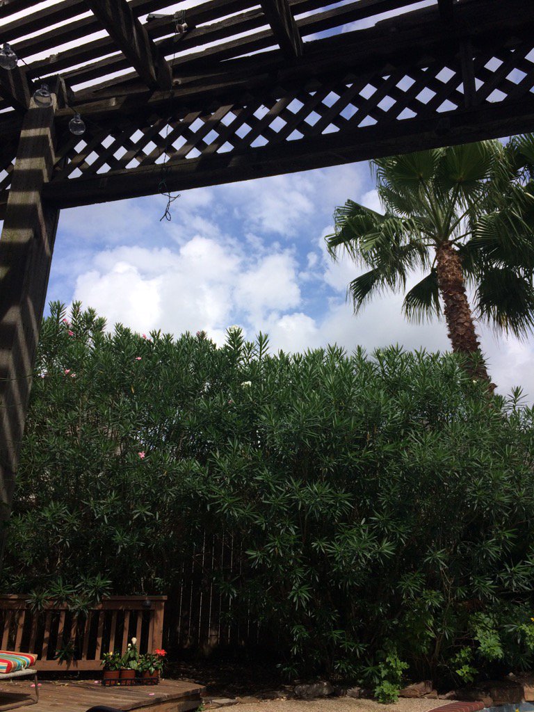
Northwest Houston, TX, during the late morning.
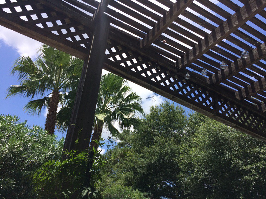
Northwest Houston, TX, during the early afternoon.
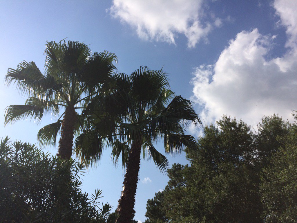
Northwest Houston, TX, during the early evening.
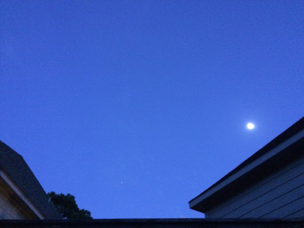
Northwest Houston, TX, during the late evening.
Summary: The day was sunny, hot, and dry. Light to heavy, mostly light, isolated showers and maybe a few thunderstorms were in and around the Houston, TX area, during the morning, afternoon, evening, and night. I didn't see, feel, or hear any rain drops. Stratus and stratocumulus clouds looked to be scattered across the sky, during the morning, afternoon, and early evening. The sky became clear, during the late evening and remained clear through the early and maybe late night. The wind speeds looked to be calm with some gentle and moderate gusts. It felt warm during the early and mid-morning, late evening, and night. It felt hot during the late morning, afternoon, and early evening. There was a Hazardous Weather Outlook issued for the Houston, TX area, by NOAA, for today. There were no other watches, warnings, alerts, advisories, or weather statements/outlooks issued for the Houston, TX area, that I know of. The low temps looked to be in the 70's and the high temps looked to be in the 90's, for the Houston, TX area.
Storm Summary: There were no reports of flooding, or storm damage with the showers and possible thunderstorms.
Locations: Northwest Houston, TX
Thoughts: Well I almost got to see some rain today. A group of showers and possible thunderstorms that was to the northwest of Houston, TX, disorganized right before it passed over my house, during the late morning. Another hot and sunny day. Maybe tomorrow will be better.
Hazardous Weather Outlook
Hazardous Weather Outlook
National Weather Service Houston/Galveston TX
403 AM CDT Tue Jul 4 2017

TXZ163-164-176>179-195>200-210>214-226-227-235>238-050915-
Austin-Brazoria-Brazos-Burleson-Chambers-Colorado-Fort Bend-
Galveston-Grimes-Harris-Houston-Jackson-Liberty-Madison-Matagorda-
Montgomery-Polk-San Jacinto-Trinity-Walker-Waller-Washington-
Wharton-
403 AM CDT Tue Jul 4 2017

This hazardous weather outlook is for portions of Southeast Texas..

.DAY ONE...Today and Tonight

Heat index values are expected to climb into the 100-105 range
late morning through this evening.

An elevated risk for rip currents will exist along Gulf-facing
beaches.

.DAYS TWO THROUGH SEVEN...Wednesday through Monday

Heat index values may climb into the 100-105 range late morning
through the evening hours each day.

Isolated to scattered showers and thunderstorms will be possible
each day. Some of these may be capable of brief heavy rainfall.

An elevated risk for rip currents is possible along Gulf-facing
beaches through mid to late week.

.SPOTTER INFORMATION STATEMENT...

Spotter activation will not be needed.

$$
No comments:
Post a Comment