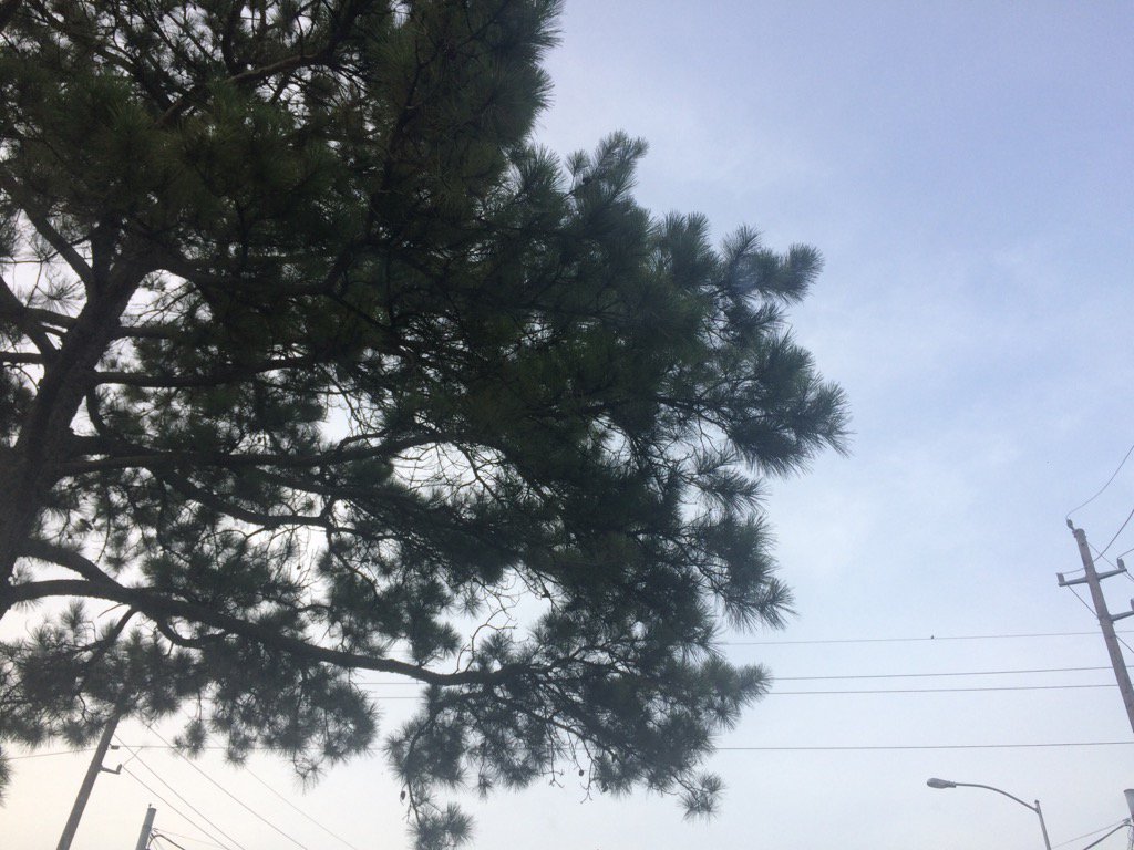
Northwest Houston, TX, during the early morning.
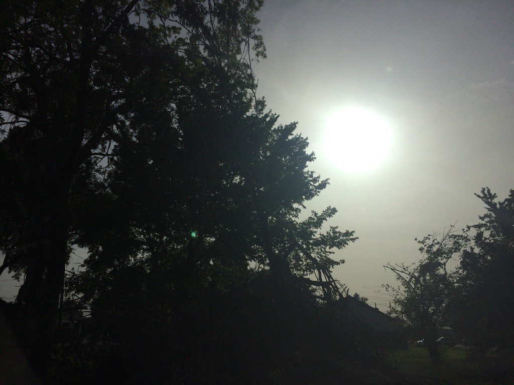
Northwest Houston, TX, during the early evening.
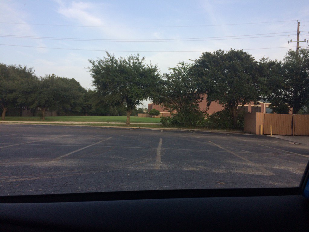
Northwest Houston, TX, during the late evening.
Summary: The day was very hot, sunny, and dry. A huge cluster of showers and thunderstorms was descending towards the Houston, TX area, but seemed to barely make it into Conroe, TX, about an hour away from Houston, TX, during the early morning and maybe some more during the afternoon and evening hours. There looked to be a few isolated light to maybe moderate showers in and around the Houston, TX area, on the radar, during the rest of the morning, afternoon, evening, and maybe night. I didn't feel, see, or hear any rain drops. Stratus, or maybe alto stratus clouds looked to cover most of the sky, during the early morning. Alto stratus with maybe some stratus and stratocumulus clouds looked to be scattered to widely scattered across the sky, during the rest of the morning, afternoon, evening, and maybe night. The wind speeds looked to be calm with gentle to moderate and moderately strong gusts and some occasional really strong gusts. It felt warm, during the early morning, late evening, and night. It felt very warm, during mid-morning and early evening. It felt hot, during the late morning. It felt very hot, during the afternoon. There was a Hazardous Weather Outlook issued for the Houston, TX area. There were no other watches, warnings, alerts, advisories, or weather statements/outlooks issued for the Houston, TX area, that I know of. The low temps looked to be in the 70's and the high temps looked to be in the 90's, for most of the Houston, TX area.
Storm Summary: I didn't see, or hear about any reports of flooding, or storm damages.
Locations: Northwest Houston, TX.
Thoughts: Well the heat wavy has begun! Maybe some rain on Wednesday?
Area Forecast Discussion
Issued by NWS Houston/Galveston, TX
Versions: 1 2 3 4 5 6 7 8 9 10 11 12 13 14 15 16 17 18 19 20 21 22 23 24 25 26 27 28 29 30 31 32 33 34 35 36 37 38 3940 41 42 43 44 45 46 47 48 49 50
000
FXUS64 KHGX 250239
AFDHGX

Area Forecast Discussion
National Weather Service Houston/Galveston TX
939 PM CDT Mon Jul 24 2017

.UPDATE...
Earlier showers and storms generally north of the region have
dissipated but cannot rule out a stray shower (10 PoPs) over the
northern half of the forecast area tonight as a weak mid-level
shear axis translates farther into the region from Central Texas.
Current forecast handles this well and the main update was to
increase sky cover and update hourly temperatures and dew points
based on trends. Otherwise, expect overnight lows in the mid 70s
to low 80s under partly cloudy skies.

Huffman

&&

.PREV DISCUSSION... /ISSUED 641 PM CDT Mon Jul 24 2017/

AVIATION...
A patch of light to moderate rain remains north of KCLL but this
area of precip is slowly moving south and may yet impact the
airport before dissipating around 02z with the loss of heating.
Cirrus or Saharan dust will continue to create BKN cigs at 25000
feet with no significant impact expected. Could get a brief window
of MVFR cigs around sunrise but impact should be an hour or less
and coverage will be spotty so will hint at the lower cig with a
sct015-sct025 deck in the morning. Winds will gradually slacken
tonight as the gradient weakens. WInds are expected to be more SE
on Tuesday as high pressure develops over southern LA. 43

PREV DISCUSSION... /ISSUED 348 PM CDT Mon Jul 24 2017/

DISCUSSION...
Another line of storms beginning to fill in just north of the CWFA
this afternoon...and is expected to move into our NW counties thru
the early evening hours. Brief heavy rain and gusty winds are pos-
sible with these storms before sunset.

The upper ridge of high pressure building into the region from the
west will help to keep POPS low and temperatures high across SE TX
tomorrow. Have kept the mention of isolated POPS in for Weds given
the persistence of models drawing a slug of slightly deeper moist-
ure into the area from the Gulf. Progged PWs up to 2.2" along with
daytime heating and the seabreeze should be the main catalysts for
storms. The strengthening ridge will lower POPS once again for Thu
and Fri...with the main forecast issue then becoming elevated heat
indicies approaching our criteria/threshold of 108.

Extended guidance still holding onto the idea of a front moving in
to the area from the NE this weekend. GFS remains the most aggres-
sive with this possibility, but the other models seem to be coming
around to this idea as well. PWs are currently progged to pool at/
around 2.2-2.5" along and ahead of this boundary as it move across
the lower MS River Valley with the western extent of this activity
in SE TX. While there is not a lot of confidence with the scenario
given this time of year, long-range models have been consistent so
far. 41

MARINE...
Weak high pressure over the northern Gulf should allow for southwest
winds today. Winds become southeast by mid week with low pressure
deepening in the plains. Southerly winds then continue into the
weekend with some model guidance showing a frontal boundary stalling
across SE Texas over the weekend. This may allow for winds to become
southwest over the weekend. Seas should remain around 2-3 feet
through the week, closer to 2 feet for the weekend.

TLDR; typical summer marine conditions with southerly winds and seas.

Overpeck

&&

.PRELIMINARY POINT TEMPS/POPS...
College Station (CLL)      77  99  77  96  77 /  20  10  10  20  10
Houston (IAH)              77  96  77  92  77 /  10  10  10  20  20
Galveston (GLS)            83  92  82  89  83 /  10  10  10  20  20

&&

.HGX WATCHES/WARNINGS/ADVISORIES...
TX...High Rip Current Risk until 11 PM CDT this evening for the
     following zones: Brazoria...Chambers...Galveston.

GM...NONE.
&&

$$

Discussion...14
Hazardous Weather Outlook
Hazardous Weather Outlook
National Weather Service Houston/Galveston TX
357 AM CDT Mon Jul 24 2017

GMZ330-335-350-355-370-375-TXZ163-164-176>179-195>200-210>214-226-
227-235>238-251200-
Austin-Brazoria-Brazos-Burleson-Chambers-
Coastal waters from Freeport to the Matagorda Ship Channel out
20 NM-Coastal waters from High Island to Freeport out 20 NM-
Colorado-Fort Bend-Galveston-Galveston Bay-Grimes-Harris-Houston-
Jackson-Liberty-Madison-Matagorda-Matagorda Bay-Montgomery-Polk-
San Jacinto-Trinity-Walker-Waller-Washington-
Waters from Freeport to the Matagorda Ship Channel from 20 to
60 NM-Waters from High Island to Freeport from 20 to 60 NM-
Wharton-
357 AM CDT Mon Jul 24 2017

This hazardous weather outlook is for portions of Southeast Texas.

.DAY ONE...Today and Tonight

Showers and thunderstorms are possible, mainly well to the north of
Interstate 10. Outside of the rain areas, heat index values will be
on the rise. Make sure precautions are taken to keep people and pets
safe from the heat.

.DAYS TWO THROUGH SEVEN...Tuesday through Sunday

As the week progresses, rain chances come down, but heat index values
might have the potential to rise toward heat advisory levels. Continue
to make sure precautions are taken to keep people and pets safe.

.SPOTTER INFORMATION STATEMENT...

Spotter activation is not expected at this time.

$$
No comments:
Post a Comment