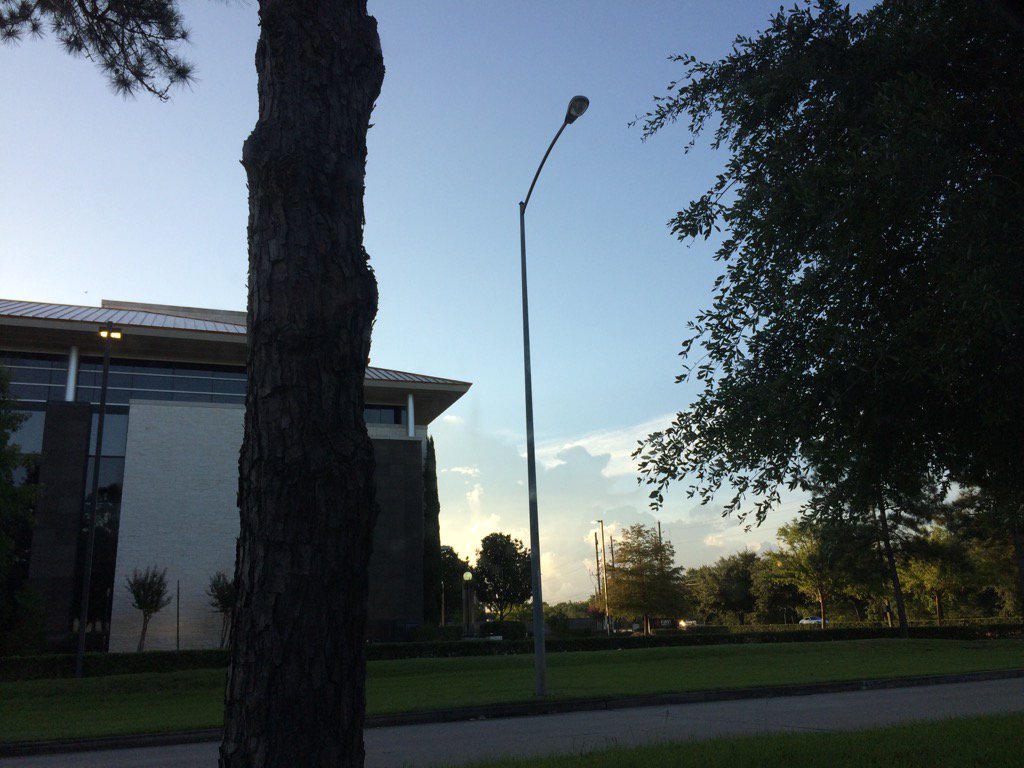
Northwest Houston, TX, during the early morning.
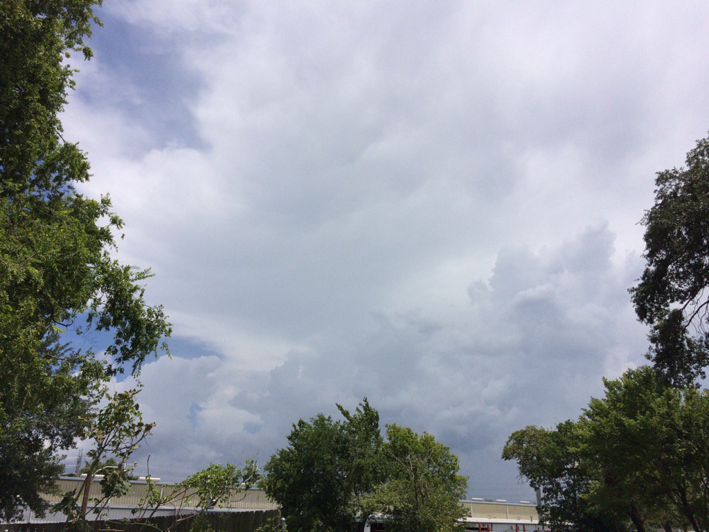
Northwest Houston, TX, during the early afternoon.
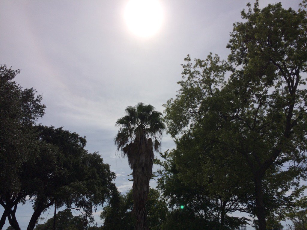
Northwest Houston, TX, during the late afternoon.
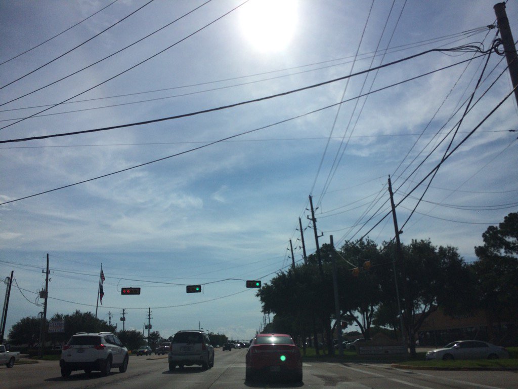
Northwest Houston, TX, during the early evening.
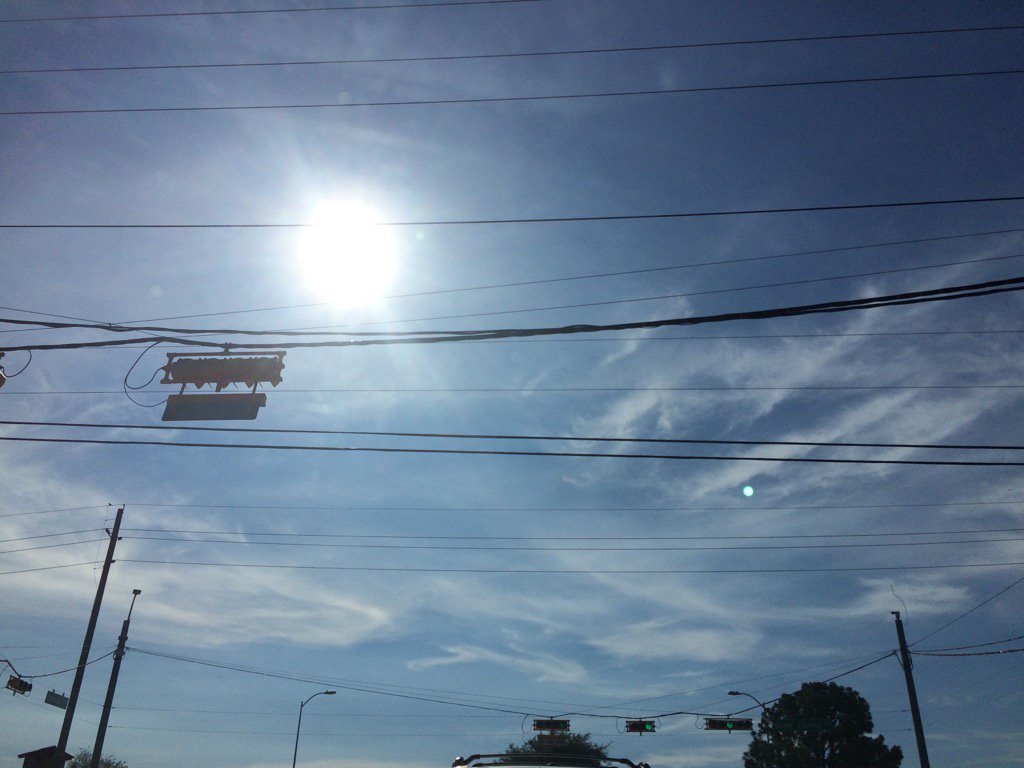
Cypress, TX, during the early evening.
Summary: The day was very warm, almost hot, calm, and dry. Clusters of isolated heavy thunderstorms and a few light to moderate showers started to pop up in and around the Houston, TX area, sometime during the morning and looked to have dissipated sometime during the evening, or maybe night. I didn't see, or hear any rain drops, but I did hear some low rumbles of thunder from nearby thunderstorms, during the early afternoon. Alto stratus and stratus with some stratocumulus clouds looked to cover part of the sky, during the early morning and most of the sky, during the mid and late morning, evening, and maybe night. Alto stratus, stratus, stratocumulus, and a few nimbus clouds looked to cover most of the sky, during the afternoon. The wind speeds looked to be calm with maybe some gentle to moderate gusts. It felt warm during the early morning, late evening, and night. It felt very warm, almost hot, during the mid and late morning, early afternoon, and early evening. It started to feel warm, sometime during the mid, or maybe early afternoon, from the nearby storm clouds. It started to feel very warm, almost hot, during the late afternoon. There was a special weather statement issued for the thunderstorms that passed through the Houston, TX area, during the early and mid-afternoon. There was also a Hazardous Weather Statement issued for the Houston, TX area, by NOAA. There were no other watches, warnings, advisories, alerts, or weather statements/outlooks issued for the Houston, TX area, that I know of. The low temps looked to be in the 70's and the high temps looked to be in the 90's, for the Houston, TX area.
Storm Summary: There were no flooding reports, or damage reports that I know of.
My Storm Summary: I got to see some cool storm clouds and hear some low rumbles of thunder, but that was all. I didn't see, or feel any rain drops, I don't know if there was any.
Locations: Northwest Houston, TX and Cypress, TX
Thoughts: Not much changing with the forecast for Houston, TX. More rain chances with some possible hot days ahead.
Area Forecast Discussion
Issued by NWS Houston/Galveston, TX
Issued by NWS Houston/Galveston, TX
Versions: 1 2 3 4 5 6 7 8 9 10 11 12 13 14 15 16 17 18 19 20 21 22 23 24 25 26 27 28 29 30 31 32 33 34 35 36 37 38 3940 41 42 43 44 45 46 47 48 49 50
000
FXUS64 KHGX 190305
AFDHGX

Area Forecast Discussion
National Weather Service Houston/Galveston TX
959 PM CDT Tue Jul 18 2017

.UPDATE...
Radar cleared out around 8 PM and am expecting a stable interior
air mass to keep any overnight shower/storm re-development focused
over the Gulf waters. As has been the case these past couple of
days...scattered early morning Gulf -TSRA activity may clip the
coastal counties through sunrise then creep further inland through
the early afternoon hours. Further northern activity may blossom
later in the day once the lower 90s are met...but the bulk of the
precipitation should remain over the southern third of the CWA.
Energy is forecast to move down an East Coast trough axis and pinch
off around the south and eastern periphery of the large Central U.S.
ridge. This scenario should contribute to maintaining a region of
disturbed weather paralleling the Gulf Coast. An easterly flow
pattern should allow this unsettledness to still be a player for yet
another day...equating to scattered showers and embedded ordinary
thunderstorms. The main threats will be early day waterspouts that
could travel ashore as weak tornadoes...latter day bursts of
lightning and very localized flooding issues from 1 to 2 inch per
hour rainfall rates. The combination of low to mid 90 ambient
afternoon temperatures and lower to middle 70 dew points should
translate to Wednesday afternoon 100 to 105 F maximum heat indices.
31

&&

.PREV DISCUSSION... /ISSUED 623 PM CDT Tue Jul 18 2017/

AVIATION...
Showers currently across the northern half of the area should
diminish over the next couple of hours. VFR conditions are
generally expected, but there could be a few spots of patchy fog
right around sunrise in areas that received rain today. Expecting
showers and thunderstorms to get going again tomorrow afternoon,
with less coverage than today and primarily sticking to around
KIAH and southward. 11

&&

PREV DISCUSSION... /ISSUED 315 PM CDT Tue Jul 18 2017/

DISCUSSION...
The convection which occurred over areas along and south of the
I-10 corridor earlier today has diminished. Scattered showers and
thunderstorms were occurring along the northward and westward
moving outflow boundaries at 3:00 PM. Tweaked the rain chances
for the southwestern and northern counties for the rest of this
afternoon to account for these ongoing storms. Could see an
isolated shower or thunderstorm to redevelop to the south and
southeast but with the cirrus shield overhead think these will be
limited.

The deep layer weak trough overhead of SE Texas will likely linger
overhead one more day before the deep layer upper level ridge in
the Plains edges southward. This pattern should lead to slightly
warmer temperatures and less rain chances. On both Wednesday and
thursday the maximum heat indices could reach into the 105 to 107
for a lot of locations with some isolated locations reaching 108.
Do think that the best chances for rain will be on Wednesday;
however, enough moisture will linger overhead to keep daily shower
and thunderstorm chances in place for Thursday and Friday. By
Saturday the general upper level troughiness over the Atlantic
Region will again extend into the Upper Texas coastal areas. Both
the GFS and ECMWF show a 500 mb low pressure area over the Mid
Atlantic moving southwestward into at least the lower Mississippi
Valley during the weekend. Both models differ on the evolution of
this system early next week but both show the weak trough again
developing either overhead SE Texas or near the Upper Texas coast.
For this reason, kept daily chances for showers and thunderstorms
in place for most areas through Tuesday. 40

MARINE...
A light onshore flow is expected through the end of the week with high
pressure over the eastern Gulf and lower pressures over West Texas.
Night time winds will be slightly stronger especially toward the end of the
week as low pressure moves across the southern plains. Tide levels will
remain slightly elevated through the week but will remain below critical
thresholds. 43

&&

.PRELIMINARY POINT TEMPS/POPS...
College Station (CLL)      75  96  76  97  77 /  20  10  10  20  10
Houston (IAH)              74  94  76  95  77 /  20  30  10  30  10
Galveston (GLS)            81  89  81  90  82 /  20  30  10  30  20

&&

.HGX WATCHES/WARNINGS/ADVISORIES...
TX...NONE.
GM...NONE.
&&

$$

Discussion...31/11
Hazardous Weather Outlook
Hazardous Weather Outlook
National Weather Service Houston/Galveston TX
432 AM CDT Tue Jul 18 2017

TXZ163-164-176>179-195>200-210>214-226-227-235>238-190945-
Austin-Brazoria-Brazos-Burleson-Chambers-Colorado-Fort Bend-
Galveston-Grimes-Harris-Houston-Jackson-Liberty-Madison-Matagorda-
Montgomery-Polk-San Jacinto-Trinity-Walker-Waller-Washington-
Wharton-
432 AM CDT Tue Jul 18 2017

This hazardous weather outlook is for portions of Southeast Texas..

.DAY ONE...Today and Tonight

Scattered to numerous showers and thunderstorms will be possible
through this evening. Some of these storms could produce locally
heavy rainfall and strong gusty winds. Funnel clouds are also
possible and, while many funnel clouds will never reach the
ground, there is always the possibility of any funnel touching
the ground to become a short lived tornado.

.DAYS TWO THROUGH SEVEN...Wednesday through Monday

Scattered thunderstorms will be possible each day. Some of these
storms could quickly strengthen and produce locally heavy rainfall
and gusty winds.

Heat indices may rise to maximums of 105 to 108 degrees in the
middle and late week.

.SPOTTER INFORMATION STATEMENT...

Spotter activation is not expected at this time.

$$
No comments:
Post a Comment