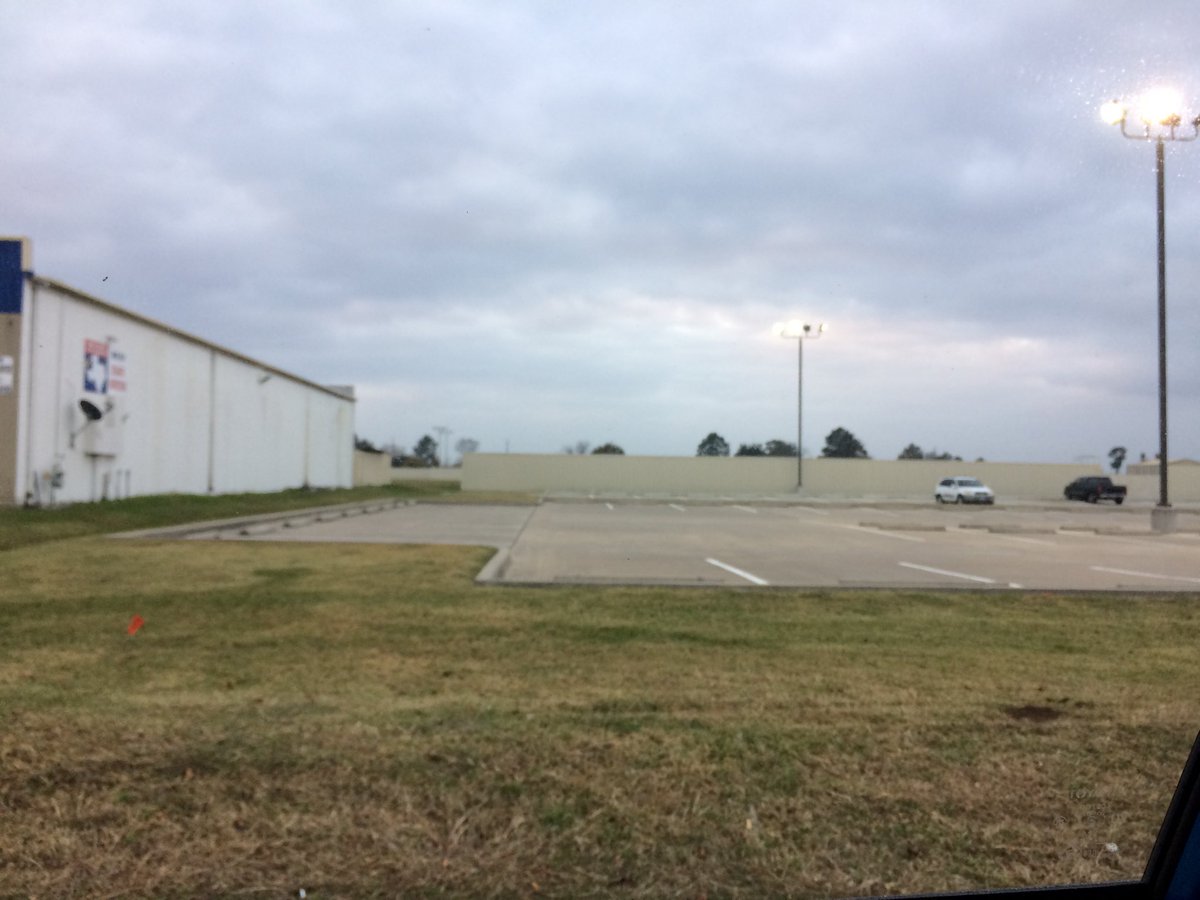
Northwest Houston, TX, during the early morning.
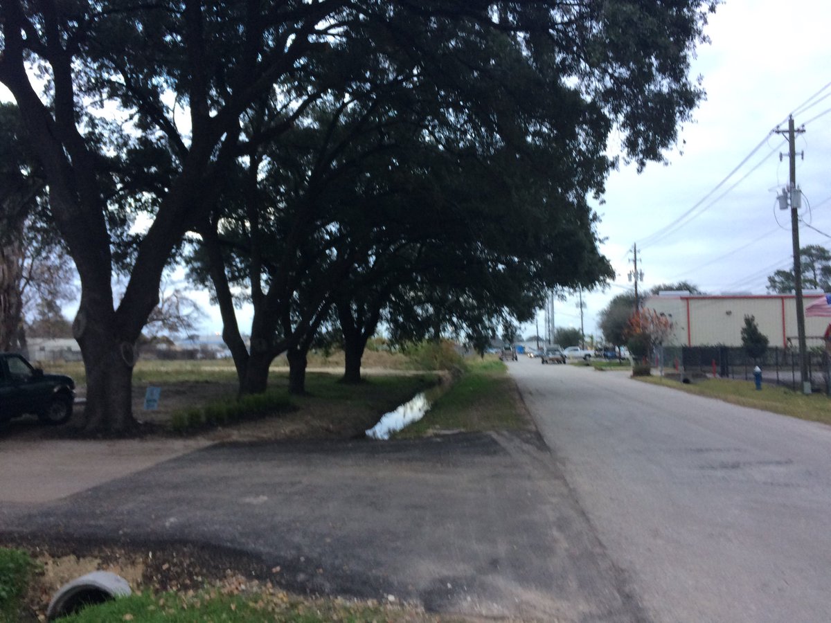
Northwest Houston, TX, during the early evening.
Locations: Northwest Houston, TX.
Thoughts: I am trying, but I cannot write a good enough report and sleep at the same time. I guess I am going to have to go to bed earlier.
Area Forecast Discussion
Issued by NWS Houston/Galveston, TX
Issued by NWS Houston/Galveston, TX
Versions: 1 2 3 4 5 6 7 8 9 10 11 12 13 14 15 16 17 18 19 20 21 22 23 24 25 26 27 28 29 30 31 32 33 34 35 36 37 38 3940 41 42 43 44 45 46 47 48 49 50
000
FXUS64 KHGX 220248
AFDHGX

Area Forecast Discussion
National Weather Service Houston/Galveston TX
848 PM CST Thu Dec 21 2017

.NEAR TERM [Through Tonight]...
IR satellite imagery shows low clouds across much of the area.
Surface analysis shows southerly winds over the area with a cold
front pushing through Oklahoma and Texas Panhandle. VAD wind
profile from KHGX WSR 88D shows 30-35kts about 1000-2000 feet AGL
so there should be enough mixing to keep winds going overnight.
This will do a couple of things. First the mixing will allow for
some light surface winds. This will keep temperatures from
dropping. Southerly wind are also advecting moisture into the
region as dewpoints increase from the 60s into the low 70s. Again
this will keep temperatures from falling much. Moisture will also
support low stratus and maybe a few showers. Again keeping
temperatures from falling much. So min temperatures in the upper
60s in the forecast may be even a bit of a stretch. Some people
will be waking up to temperatures in the low 70s which is yuck for
December. The good news in all of this is that there should not
be any stupid radiation fog. Fog if any will be limited to the
coastal areas and area observations/webcams do not show much fog
through Galveston Bay or off the coast. There is still plenty of
time for advection fog to form so will keep the dense fog advisory
going for the marine areas.

SPC has a day 2 severe weather risk of marginal for SE Texas. One
look at the 00Z CRP sounding and I think I have good confidence
in the fact that the severe weather threat will be more limited
tomorrow. Sounding shows 850mb temperature of 22C with a nice
elevated mixed layer. Winds through the boundary layer veer to the
SW so very likely that the EML will advect over much of SE Texas.
This means a rather strong cap will be in place for much of the
day. Model soundings also show the EML over SE Texas but as most
models, they show the cap eroding with time. Looking at WRF
reflectivity output, this also seems to confirm that surface based
convection will be limited. Above the cap there will be some
instability so I can understand the marginal threat, but that only
depends upon convective initiation in the warm sector breaking
the cap. The other issue is large scale ascent out of phase with
low level forcing. With the best PVA back over the Big Country of
Texas along with strong upper level divergence, frontal forcing
will have to be the main driver for initiation. Cap may be too
strong for weak lift along the front to overcome. It still looks
like there may be some post frontal precipitation due to elevated
convection, but it does not appear to be that strong. Much like we
saw Tuesday night, thinking there will be a squeegee line of
storms to push through the area with some post frontal showers.
There will of course be the chance for brief heavy rain, gusty
winds and lightning, but storms should be below severe levels.

Only changes to the forecast tonight were to keep up with ongoing
trends and to better define the timing of the front. Rest of the
forecast looks on track even with the high uncertainty in the
forecast beyond Christmas. Model differences are huge.

Overpeck


&&

.PREV DISCUSSION /Issued 613 PM CST Thu Dec 21 2017/...

.AVIATION...
VFR becoming MVFR over the next few hours across all TAF
sites. Some drizzle will also be possible in the early morning
hours, associated with possible streamer showers developing below
the cap out ahead of our next cold front. Lower visibilities to
around 5SM will be possible overnight with MVFR/IFR ceilings
expected in the northern terminals. Metro terminals such as IAH,
HOU, and SGR will see visibilities likely lower to MVFR criteria.
Ceilings will continue to drop to IFR/MVFR criteria, as the cloud
deck continues to lower in height with the help of radiational
cooling from the surface, allowing the temperature and dew point
spread to decrease. Along the coast, LBX and GLS will deal with
the influence of sea fog, resulting in both visibilities and
ceilings lowering to IFR/LIFR status. Lowered visibilities and
ceilings will continue to be possible until the passing of our
next frontal passage, expected to reach the area late Friday into
early Saturday morning.

The cold front should reach the coast between 06Z to 10Z Saturday
morning. A line of showers with potential isolated thunderstorms
will be embedded with this front. Winds behind the boundary will
turn out of the NW and eventually become northerly, and wind
speeds will pick up to around 15 knots. Winds could become gusty
at times behind this feature.

Hathaway

.PREV DISCUSSION... /ISSUED 303 PM CST Thu Dec 21 2017/

DISCUSSION...
Warm and humid for this first day of winter for SE TX. However,
changes are on the way tomorrow with a cold front to move across
late Friday afternoon and evening. Prior to the front, expect
areas of dense fog near the coast as well as showers and
thunderstorms tomorrow along and ahead of the boundary.

Model guidance is in good agreement with the timing of the front
on Friday, reaching CLL mid afternoon, IAH early evening, and off
the coast late evening. It will be warm ahead of the front with
central portions of the area likely approaching 80 degrees again.
Some differences are showing up in the models concerning the
degree of capping over the area as the front moves through. I
think W/NW areas of SE TX have a chance of seeing a few strong
storms mid/late aft tomorrow; however, by early eve, with the loss
of heating, not sure this threat will extend SE into central
areas. Will carry likely pops areawide ahead of and along the
front and should be free of inland rain by Saturday morning.

In the wake of the front, expect dry and cool conditions through
Christmas. The only areas that may see a freeze on Christmas
morning appears to be the far northern areas. By Tuesday we will
see slightly warmer temps and a return of moisture. The GFS and
ECMWF are not in agreement after Tuesday with significant
differences in the mid/upper level pattern upstream of Texas. For
sensible weather across the area this results in the GFS being
much warmer than the ECMWF Wed and Thu. The ECMWF brings a cold
front through the area Tue night and Wed morning, and the GFS does
not. Leaning toward no front, but not forecasting temps to be as
warm as the GFS for now. Not a lot of confidence in temps and
rain chcs for next Wed and Thu. 33

MARINE...
Sea fog has been affecting parts of the marine area today and
conditions remain favorable for more fog overnight lingering through
Friday night. Warm air will continue to flow over cooler shelf waters
resulting in periods of dense sea fog. Sfc winds are S-SE and this
trajectory will bring slightly warmer water toward the coast
reducing the water temp/air temp difference. In addition, slightly
stronger winds will aid in mixing slightly drier air aloft to the
surface. The stronger winds tonight may reach caution levels for the
20-60 NM waters. All that said, the potential for sea fog will
remain high until a cold front moves through the coastal waters
sometime early Saturday morning between midnight and 6 AM.

A strong offshore flow will develop in the wake of the front on
Saturday and a Small Craft Advisory may briefly be required for the
offshore waters early Saturday. Winds will diminish Saturday night
into Sunday as winds veer to the NE. Winds will veer to the east on
Monday and remain generally easterly through Wednesday afternoon.
Some increase in tide levels can be expected toward the middle of
next week. 43

&&

.PRELIMINARY POINT TEMPS/POPS...

College Station (CLL)  66  71  42  56  39 /  40  80  60  10  10
Houston (IAH)          68  79  48  58  42 /  20  30  70  10  10
Galveston (GLS)        68  75  52  59  49 /  10  20  60  10  10

&&

.HGX WATCHES/WARNINGS/ADVISORIES...

TX...None.
GM...Dense Fog Advisory until 4 AM CST Friday for the following
     zones: Coastal waters from Freeport to the Matagorda Ship
     Channel out 20 NM...Coastal waters from High Island to
     Freeport out 20 NM...Galveston Bay...Matagorda Bay.

     SMALL CRAFT SHOULD EXERCISE CAUTION until 4 AM CST Friday for
     the following zones: Waters from Freeport to the Matagorda
     Ship Channel from 20 to 60 NM...Waters from High Island to
     Freeport from 20 to 60 NM.


&&

$$

NEAR TERM...Overpeck
No comments:
Post a Comment