

Northwest Houston, TX, during the early morning.

Houston, TX radar, during the late morning.

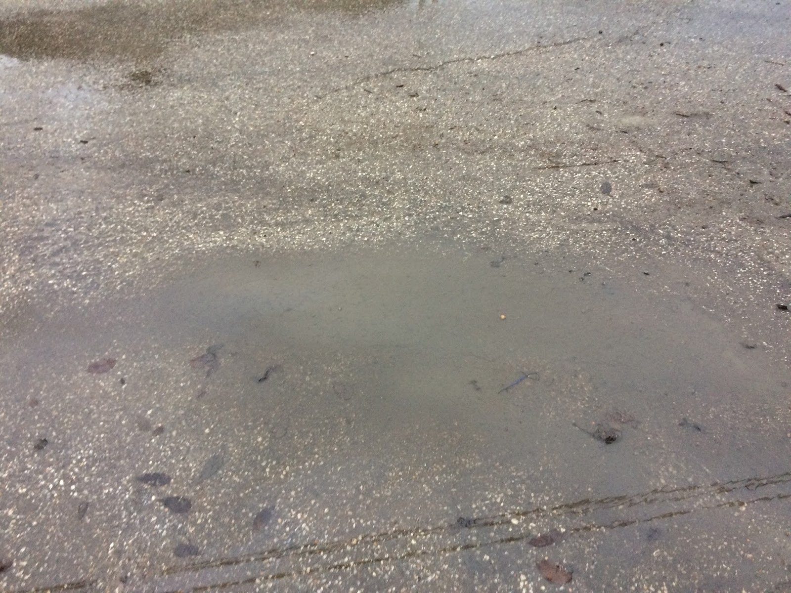
Houston, TX radar, during the early afternoon.
Northwest Houston, TX, during the early afternoon.

West Houston, TX, during the early night.

\Houston, TX radar, during the early night.

Houston, TX radar, during the late night.

NOAA weather forecast predicting snow/sleet mix for my location in northwest Houston, TX.
Summary: The day was very cold, cloudy, and wet. Mostly light to moderate rain with some moderately heavy and maybe sometimes heavy rain passed through the Houston, TX area, during the morning, afternoon, evening, and night. There were some reports of some possible ice pellets/sleet in the locations in the north Houston, TX area, and maybe in some other locations in the Houston, TX area, during the day. I didn't see any ice pellets, sleet, or snow flakes. I saw light to moderate rain with some moderately heavy rain, where I was in northwest Houston, TX, during the morning, afternoon, evening, and night. I didn't see any rain when I was in west Houston, TX, during the early night. Just maybe a few rain drops. Low light to dark grey with maybe some light to dark blue stratus clouds, looked to cover the whole sky, during the morning, afternoon, and evening. Low light to dark grey stratus clouds looked to cover the whole sky, during the night. The wind speeds looked to be calm with gentle to moderate gusts and some moderately strong to really strong 20 to maybe 25 mph gusts. It felt very cold, during the morning, afternoon, evening, and night. There were no watches, warnings, alerts, advisories, or weather statements/outlooks issued for the Houston, TX area, that I know of. The low temperatures were in the low 40's with maybe some high 30's and the high temperatures were in the low, or maybe mid, or high 40's, for the Houston, TX area.
Houston, TX Storm Summary: Mostly light to moderate rain with some moderately heavy and maybe sometimes heavy rain passed through the Houston, TX area, during the morning, afternoon, evening, and night. There were some reports of some possible ice pellets/sleet in the locations in the north Houston, TX area, and maybe in some other locations in the Houston, TX area, during the day. I didn't see, or hear about any reports of flooding, or damage caused by the weather, in any of the locations in the Houston, TX area, during anytime of the day.
My Storm Summary: I didn't see any ice pellets, sleet, or snow flakes. I saw light to moderate rain with some moderately heavy rain, where I was in northwest Houston, TX, during the morning, afternoon, evening, and night. I didn't see any rain when I was in west Houston, TX, during the early night. Just maybe a few rain drops. The ground and roads stayed wet, where I was in northwest Houston, TX, during the morning, afternoon, evening, and night. I think the ground was also wet where I was in west Houston, TX, during the early night. I saw some small to large puddles, but no flooding. I didn't see any damage caused by the weather. I didn't see any lightning, or hear any rumbles of thunder.
Locations: Northwest and west Houston, TX.
Thoughts: Well the mention of winter precip was a fun experience in and of it self, but I wish that I could have actually seen some sleet/snow. But oh well....
Area Forecast Discussion
Issued by NWS Houston/Galveston, TX
Issued by NWS Houston/Galveston, TX
Versions: 1 2 3 4 5 6 7 8 9 10 11 12 13 14 15 16 17 18 19 20 21 22 23 24 25 26 27 28 29 30 31 32 33 34 35 36 37 38 3940 41 42 43 44 45 46 47 48 49 50
000
FXUS64 KHGX 070444
AFDHGX

Area Forecast Discussion
National Weather Service Houston/Galveston TX
1044 PM CST Wed Dec 6 2017


.DISCUSSION...
Sleet reports coming in around College Station between 945 and
1030 pm. The earlier (afternoon/early evening) 700-500mb speed
max pulling away into eastern LA/southern MS now and hence the
lull in precip earlier this evening.

Another speed max approaching the the area and precip intensity
picking up well to the west of the area. As this feature tracks
into the area in the next 3-4 hours expect the coverage of light
rain to expand with a few bands of moderate rainfall likely over
the central areas shifting southward towards sunrise.

As for precip type...currently soundings support mainly rain with
spotty ice pellets but as cooling occurs the transition should
begin to show up with some very light snow mixed into the
precipitation. Might even have some slightly heavier snow showers
across the south around sunrise through 9 am. Again temperatures
staying above freezing even with wet-bulbing at the surface so no
icy accumulations are expected...just a visually interesting mix
of precip types to admire if you are outside (wearing your coat
and gloves). Temperatures should range from 36-40 degrees tonight
for areas north of Highway 59 corridor and 40-44 south of the
corridor. Wind chill readings of 33 to 39 will be common tonight
and early Thursday morning so dress warmly.

45


&&

.PREV DISCUSSION... /ISSUED 552 PM CST Wed Dec 6 2017/

AVIATION...
Light rain continues to translate west to east across the
Southeast Texas terminals this evening, associated with a mid-
level jet streak moving across the region. IAH/HOU/SGR/LBX/GLS may
see brief breaks in this rain this evening, before a disturbance
lifting out of Mexico after 06Z results in rain again spreading
back across the southern terminals. Expect ceilings to stay VFR
except in heavier activity, with temporary drops to IFR or MVFR
possible. Will handle these with amendments. Continued cooling of
the column overnight may allow for some light snow to mix in with
the rain, with best chances between 09 and 16Z. Have included a
tempo mention of -RASN at all terminals except LBX and GLS, but
little if any terminal impacts are expected as surface
temperatures remain well above freezing. Expect precipitation to
taper off late in the TAF period. Northerly winds 5 to 10 knots
are expected to prevail at the northern terminals of CLL, UTS, and
CXO. Central/Houston terminals (IAH, SGR, HOU) will see slightly
stronger northerly winds in the 10-15 knot range through the
period. Strongest winds are expected at the coastal terminals of
LBX and GLS (15-25 knots with gusts 30-35 knots at GLS) over the
next 24 hours.

Huffman

PREV DISCUSSION... /ISSUED 400 PM CST Wed Dec 6 2017/

DISCUSSION...
The main issue for the next day or two will be the possibility of
a mix of sleet or light snow with the periods of light rain. So
far this afternoon there has been quite a bit of isentropic lift
across Southeast Texas under a strong upper level jet. There
have been reports of ice pellets (otherwise known as sleet) mixed
in with the rain just to the north of the forecast area.

The main issue for tonight through Thursday will be the
possibility of a mix of sleet or light snow with the areas of
light rain. Forecast soundings from both the NAMBufr and GFSBufr
have profiles that give this possibility. With the surface
temperatures fairly warm, do not think there will be a chance of
any freezing at the surface. The current thinking is that any mix
of snow/sleet with the rain will end toward midday Thursday. Also
think that the best chances will be along and north of Interstate
10.

The main upper level trough will move across the area Friday.
Expect the rain area to diminish from north to south throughout
Thursday night and Friday morning. Given the forecast sounding
profiles there will continue to be a chance for light snow or
sleety to mix with the rain at times. However, given the
uncertainty of timing and how far south the cold air aloft will
be, decided to not mention this possibility in the forecast at
this time (for Thursday night and Friday morning). Will reassess
this possibility later tonight.

In the far northern counties where rain chances are the lowest (10
percent or less), the morning low temperatures on Friday morning
could reach down into the upper 20s. Think this possibility is
greatest from along and north of a line from Madisonville to
Groveton. Freezing temperatures are possible mainly north of metro
Houston Friday morning. Rain chances will be mainly along the
coast Friday morning. With clearing skies, temperatures during the
day on Friday will reach up to around 50 degrees.

The main issue following Friday will be cold overnight
temperatures over the weekend. However, most areas will probably
be just above freezing both mornings. A northwesterly flow will be
overhead of the forecast area and a cold front looks to move
through the area late Monday; although, this front will be remain
dry. A slow warming trend is expected during the first half of
next week.

40

MARINE...
Look for the NE/N winds to increase in strength the next 12-36 hours
as the pressure gradient tightens. Though elevated, winds at the
offshore rigs have been gusting to 30-40 knots today and expect a
further upward bump overnight and Thurs. Went ahead and hoisted a
Gale Warning in the 20-60nm group starting at midnight. Closer to
the coast, will let the SCA`s ride for now but`ll be keeping a close
eye on the 0-20nm group for a possible upgrade. 47

&&

.PRELIMINARY POINT TEMPS/POPS...
College Station (CLL)      37  51  30  53  34 /  80  40  20  10   0
Houston (IAH)              39  49  34  49  35 /  90  80  40  10   0
Galveston (GLS)            44  52  39  51  45 /  80  90  60  30   0

&&

.HGX WATCHES/WARNINGS/ADVISORIES...
TX...NONE.
GM...Small Craft Advisory until 9 PM CST Thursday for the following
     zones: Coastal waters from Freeport to the Matagorda Ship
     Channel out 20 NM...Coastal waters from High Island to
     Freeport out 20 NM...Galveston Bay...Matagorda Bay.

     Small Craft Advisory until midnight CST tonight for the
     following zones: Waters from Freeport to the Matagorda Ship
     Channel from 20 to 60 NM...Waters from High Island to
     Freeport from 20 to 60 NM.

     Gale Warning until 9 PM CST Thursday for the following zones:
     Waters from Freeport to the Matagorda Ship Channel from 20
     to 60 NM...Waters from High Island to Freeport from 20 to
     60 NM.

&&

$$

Discussion...45
No comments:
Post a Comment