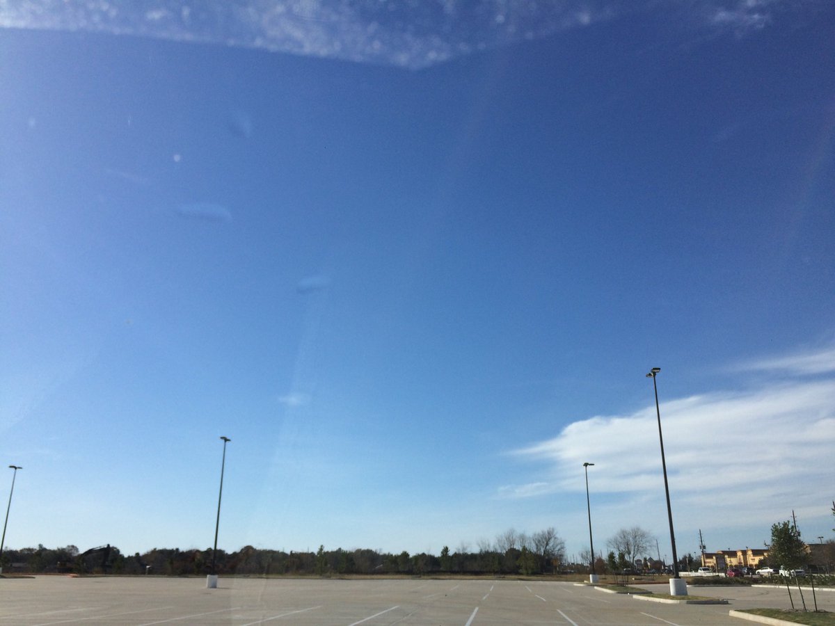
Northwest Houston, TX, during the early afternoon.
Summary: The day was cool, sunny, and windy. There didn't look to be any precip for any of the locations in the Houston, TX area, during anytime of the day. I didn't see any precip on the radar, over any of the locations in the Houston, TX area, during anytime of the day. I didn't feel, see, or hear any drops of precip, at any of the locations that I was in, during anytime of the day. Wavy and thick alto stratus clouds looked to be scattered across the sky, during the morning, afternoon, evening, and maybe night. The wind speeds looked to be gentle with moderate to moderately strong gusts and some really strong 20 to 25 mph gusts, with maybe some very occasional 30+ mph gusts. It felt very cold, during the early morning. It felt cold, during the mid-morning and night. It felt very cool, during the late morning and late evening. It felt cool, almost warm, during the afternoon. It felt cool, during the early evening. There were no watches, warnings, alerts, advisories, or weather statements/outlooks issued for the Houston, TX area, that I know of. The low temperatures looked to be in the low 40's and the high temperatures looked to be in the high 60's, for the Houston, TX area.
Houston, TX Storm Summary: There didn't look to be any precip for any of the locations in the Houston, TX area, during anytime of the day. I didn't see any precip on the radar, over any of the locations in the Houston, TX area, during anytime of the day. I didn't see, or hear about any reports of flooding, or damage to any of the locations in the Houston, TX area, during anytime of the day, caused by the weather.
My Storm Summary: I didn't feel, see, or hear any drops of precip, at any of the locations that I was in, during anytime of the day. I didn't see any precip producing, or thunderstorm type clouds. I didn't see any wet roads, puddles, or wet ground caused by the weather. I didn't see any flooding, or damage caused by the weather. I didn't see any flashes of lightning, or hear any rumbles of thunder.
Locations: Northwest Houston, TX.
Thoughts: Great Chrismast eve weather!
Area Forecast Discussion
Issued by NWS Houston/Galveston, TX
Issued by NWS Houston/Galveston, TX
Versions: 1 2 3 4 5 6 7 8 9 10 11 12 13 14 15 16 17 18 19 20 21 22 23 24 25 26 27 28 29 30 31 32 33 34 35 36 37 38 3940 41 42 43 44 45 46 47 48 49 50
000
FXUS64 KHGX 250524
AFDHGX

Area Forecast Discussion
National Weather Service Houston/Galveston TX
1124 PM CST Sun Dec 24 2017

.AVIATION...
VFR conditions are expected throughout the period. N winds will
gradually become E to ESE by tomorrow afternoon. KCXO has started
to have some very patchy fog set it, but this should dissipate
soon as drier air continues to filter into the area in the wake of
today`s front. 11

&&

.PREV DISCUSSION... /ISSUED 809 PM CST Sun Dec 24 2017/

UPDATE...
The dry cold front is through, and gusty north winds are coming up
in its wake. Wind gusts near the coast are edging near the
advisory threshold, but think things will generally hold below
outside of some isolated gusts. Those winds will very gradually
diminish, but it should be breezy through much of the night.
Unclear at this time whether the cold air advection causing temps
to fall is due to the post-frontal airmass (more likely) or the
presence of sleighs and flying reindeer (probably not, but who
knows?).

Christmas Day should be cooler than seasonal averages and largely
dry. The main question will be how soon rain chances do start to
develop as a warm front/coastal trough begins to set up. Some
guidance suggests as early as the evening, but for now the
consensus among us and neighboring offices is to trend towards the
later guidance and focus more on the late overnight hours into
Tuesday. However, that will be something to keep an eye on
tomorrow.

Luchs

PREV DISCUSSION... /ISSUED 301 PM CST Sun Dec 24 2017/

DISCUSSION...
A dry cold front is continuing to push through the region this
afternoon, currently draped just north of our coastal counties.
The wind shift associated with the front has reached the coast out
ahead of the actual front slightly faster than originally
expected, and winds along the coast are now out of west northwest
this afternoon. Although wind speeds are expected to increase
behind the main boundary shortly after sunset, forecast
conditions look to remain below threshold for a Wind Advisory and
therefore, will hold off at this time. Regardless, windy
conditions can be expected across much of the region tonight until
the pressure gradient slackens.

Cold air will continue to filter in behind this feature with
conditions tonight expected to dip an additional 5 to 10 degrees.
Low temperatures tonight are expected to fall into the low 30s in
the northern zones, and remain a tad warmer in the mid 40s along
the coast. Surface high pressure will fill in behind the cold
front this evening, allowing drier air to drain into SE TX. Dew
points should bottom out in the upper 20s to low 40s across the
forecast area by Monday morning. Christmas day will bring below
normal temperatures with highs in the mid 50s and lows that night
in the upper 30s to low 50s along the coast. Additionally, Monday
will also provide mostly clear skies, with clouds building in
from the west in the early evening hours. Moisture will be on the
rise by midday Monday as the ridge shifts east, and by Tuesday
morning precipitable water values will rise slightly above 1.0
inch.

An unsettled pattern sets up Tuesday and should remain through
mid-week. Cloudy conditions will expand across the region early
Tuesday as moisture values continue to climb. A coastal trough
sets up by early Tuesday morning, and should retreat northward
transitioning into a warm front. By Tuesday afternoon precipitable
water values will reach between 1.2-1.3 inches. Global models are
picking up on decent lift along this feature as the boundary
shifts northward through the coastal waters and along the coast.
The 850mb pattern shows winds out of the west southwest with a
region of higher pressure located to the east of the region, which
should allow for potential upglide through much of the day Tuesday
and into Wednesday. Therefore, a chance for showers will
begin just before sunrise Tuesday, with better coverage possible
as we roll into the afternoon and evening hours. Another weak
cold front moves in from the north early Wednesday which should
drop temperatures a few degrees and bring in slightly drier air.
As a result, the chance for showers will lower Wednesday and into
early Thursday. The cloud cover Tuesday through Thursday will help
to regulate temperatures, with highs remaining in the 50s to low
60s, and lows mostly in the 40s to low 50s.

The next strong cold front is not expected until the Friday
through Sunday time frame. At this time there is plenty of
uncertain with the timing of this system. The ECMWF sweeps this
frontal boundary off the SE TX coast on Saturday while the GFS
lags behind and does not push the front off the coast until late
Sunday. Will need to continue to monitor trends in these model
solutions, with hopes that the overall pattern will become more
clear in the coming of days. For now, have indicated a chance for
showers associated with this system the Saturday into Sunday
before the new year.

Hathaway

MARINE...
Increasing north to northeast winds and building seas
can be expected through tonight in the wake of a cold
frontal passage. Overnight, caution flags will be up
for the Bays, and Small Craft Advisories will be in
effect for the 00-60 nm waters. Winds and seas will
be coming down on Monday, but some flags might be
needed for the 00-60 nm waters in the morning. Mainly
east to northeast winds are expected beginning Monday
night and should persist for much of the upcoming week.
Another front is forecast to move off the coast Tuesday
night or Wednesday morning with increasing winds and
waves anticipated behind the boundary. Periods of rain
are anticipated beginning Monday night and continuing
throughout most of the week. 42

&&

.PRELIMINARY POINT TEMPS/POPS...
College Station (CLL)      30  54  43  52  41 /   0   0  30  50  50
Houston (IAH)              35  55  44  56  43 /   0   0  30  60  50
Galveston (GLS)            43  57  55  63  50 /   0   0  30  60  40

&&

.HGX WATCHES/WARNINGS/ADVISORIES...
TX...NONE.
GM...Small Craft Advisory until 6 AM CST Monday for the following
     zones: Coastal waters from Freeport to the Matagorda Ship
     Channel out 20 NM...Coastal waters from High Island to
     Freeport out 20 NM...Galveston Bay...Matagorda Bay...Waters
     from Freeport to the Matagorda Ship Channel from 20 to 60
     NM...Waters from High Island to Freeport from 20 to 60 NM.

&&

$$

Discussion...25
Aviation/Marine...11
No comments:
Post a Comment