
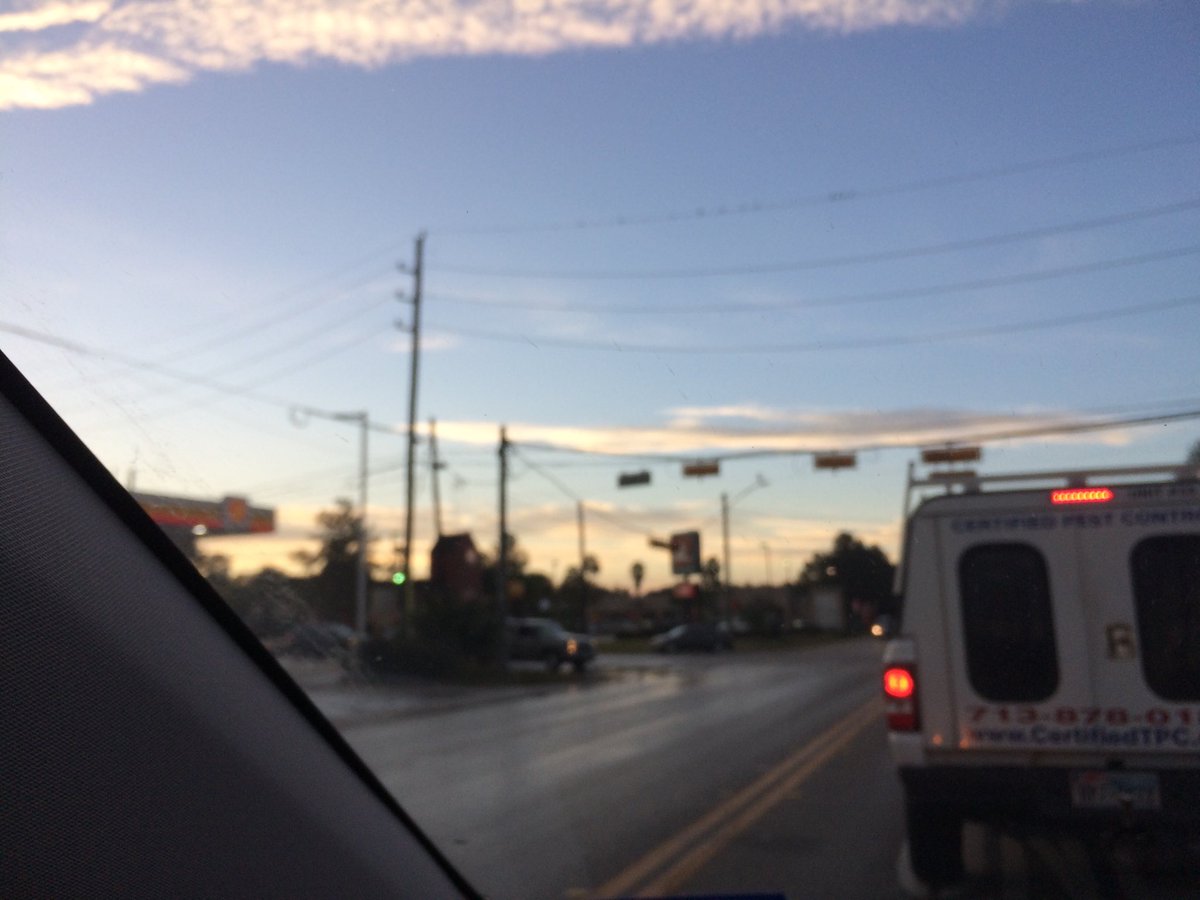
Northwest Houston, TX, during the early morning.
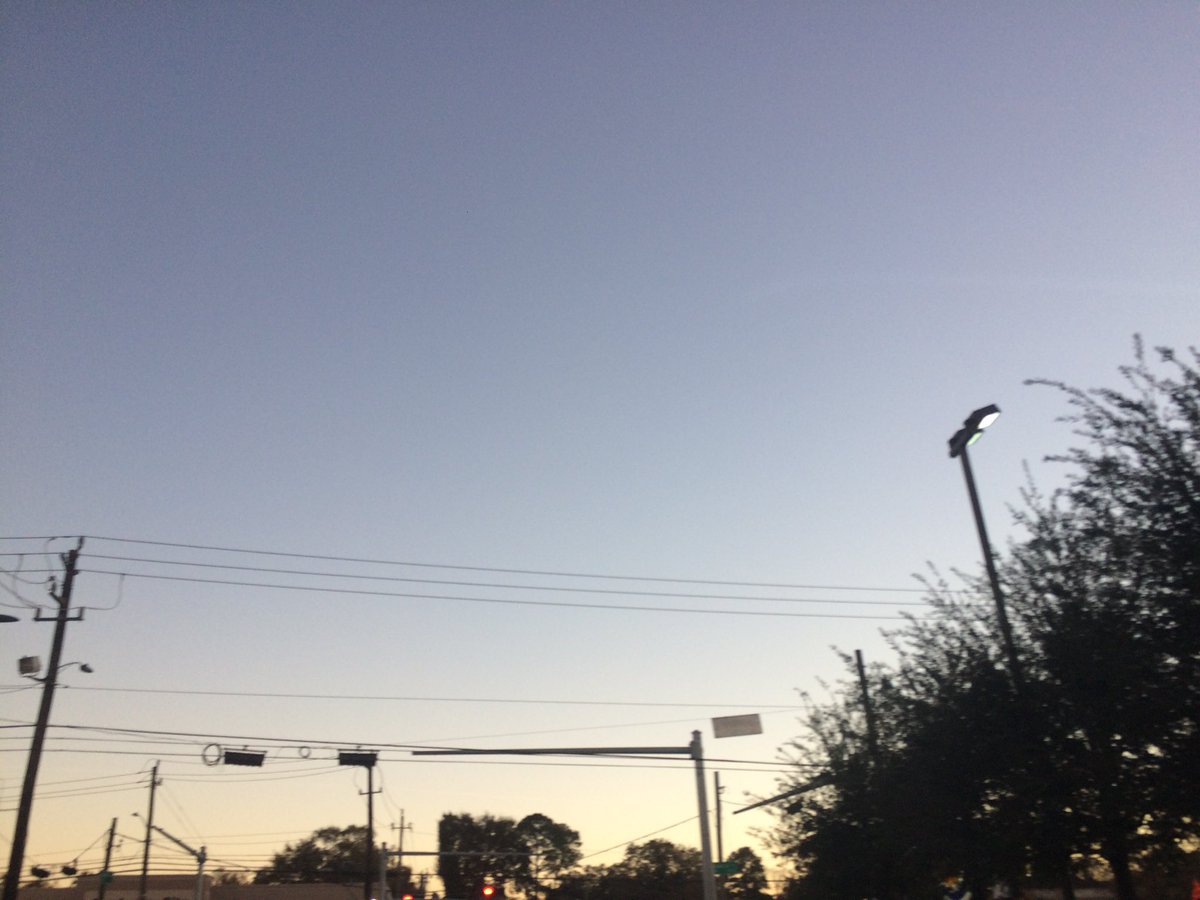
West Houston, TX, during the early evening.
Locations: Northwest and west Houston, TX.
Thoughts: I forgot what happened weather wise, so I am going to have to forget the weather report of this day also.
Area Forecast Discussion
Issued by NWS Houston/Galveston, TX
Area Forecast Discussion
Issued by NWS Houston/Galveston, TX
Versions: 1 2 3 4 5 6 7 8 9 10 11 12 13 14 15 16 17 18 19 20 21 22 23 24 25 26 27 28 29 30 31 32 33 34 35 36 37 38 3940 41 42 43 44 45 46 47 48 49 50
000
FXUS64 KHGX 202331
AFDHGX

Area Forecast Discussion
National Weather Service Houston/Galveston TX
531 PM CST Wed Dec 20 2017

.AVIATION...
Two main issues in this evening`s forecast are trends in winds,
and visibility. Pretty high confidence that southwesterly/westerly
winds from this afternoon will become light and variable
overnight. When they reestablish in the morning, look for
southerly winds.

Visibility and ceilings are a trickier bit. There had been strong
HRRR consensus for dense fog for the entire area from IAH
coastward towards dawn. Given that dewpoints in the area are still
only in the mid to upper 40s, without a real strong onshore
component to boost them quickly, was unsure of how that would play
out. Fortunately, the latest HRRR seems more in line with
observations. In short, towards dawn, have MVFR visibility from
CXO to SGR/HOU. Do go to high IFR at LBX and GLS, nearer the
coast. Finally, bring in some low MVFR ceilings all the way to UTS
(but leave out CLL) tomorrow afternoon as onshore flow and
moisture return kick in more strongly.

Luchs

&&

.PREV DISCUSSION... /ISSUED 319 PM CST Wed Dec 20 2017/

DISCUSSION...
Clear skies overnight with light and variable winds, should help
prime conditions for the potential development of radiational fog.
Patchy fog should develop where the best moisture will be
available, essentially from I-10 southward, as well as in our
western counties. The onset of development would begin around 09Z
Thursday and could carry through late morning. Short term guidance
such as the SREF and HRRR also indicates the potential for
lowered visibilities starting along the coast and slowly spreading
inland and westward.

Surface winds though light overnight, will begin to turn more
southerly early Thursday allowing a warm air advection pattern to
set up. This will help to push warm moist air back over the
region. As this airmass advects over the cooler shelf waters, the
chance for sea fog will return Thursday morning along the coastal
counties. Patchy to thicker areas of fog could linger through
much of Thursday afternoon. Cloud cover will also thicken as a
stratus deck develops early Thursday, and should keep temperatures
a touch cooler. High temperatures for Thursday are still above
normal for this time of year, in the mid to upper 70s. The chance
for sea fog will again be a factor early Friday morning out ahead
of our next cold front.

The global models have come into better agreement with the timing of
the next cold front, which should reach our coastal waters
between 06Z-12Z Saturday. Showers and isolated thunderstorms will
be possible with this frontal passage, with precip starting as
early as late Thursday and carrying through the early afternoon
hours Saturday. Showers can be expected out ahead of the front
late Thursday, with the bulk of the precip associated with the
frontal boundary occuring late Friday into early Saturday. Behind
the front, showers again will fill in, lingering into the early
afternoon hours on Saturday. Temperatures will not be as cool
behind this first front, as previous runs of the GFS and ECMWF
anticipated. As a result, high temperatures Friday compared to
Saturday will drop anywhere from 10 to 15 degrees, leaving high
temperatures Saturday in the upper 50s to lower 60s. A cooler
drier airmass will arrive late Sunday into Monday, which will
bring the secondary push of cooler air. This airmass will lower
temperatures a little further bringing Monday`s high temperatures
into the 50s. Therefore, slightly below normal temperatures are
in store for your holiday weekend.

The warming trend should continue through mid week, bringing
temperatures back into the upper 50s to mid 60s. Onshore flow
should return by Monday evening. Lastly, another cold front, is
expected to arrive towards the end of next week. This will result
in another round of precip beginning early Wednesday, with a front
potential sliding off the coast next Thursday.

Hathaway

MARINE...
Light onshore winds will develop tonight as surface high pressure moves
east of the region. A warm front and associated return flow will bring
deeper moisture back into the area and surface dew points will increase
to near 70 by Thursday afternoon. Water temperatures are in the lower
60s at the current time so would expect sea fog to begin to develop
perhaps as early as Thursday morning. Visibility will probably fall
to below a mile at times and a Marine Dense Fog Advisory may be needed at
times. One small concern regarding the potential for sea fog is that
surface winds will be S-SE and this will bring slightly warmer waters
toward the coast so the difference between the water temp and dew pt
will lessen and this could reduce the potential for sea fog. SREF ensembles
keep the best potential for sea fog from about Galveston Bay, eastward
along the Louisiana coast. The onshore flow will also strengthen Thursday
into Friday and a SCEC may be required for the 20-60 NM waters.

A cold front will cross the coast between 09-12z Saturday and usher in
an offshore flow and end the fog threat. Borderline SCA conditions expected
in the wake of the front. A secondary surge of colder air will enter the
area on Sunday and the gradient over the water will tighten with SCA conditions
expected over the Gulf waters on Sunday night into Monday. Onshore winds will
return by Monday evening and persist through next Wednesday. 43

&&

.PRELIMINARY POINT TEMPS/POPS...
College Station (CLL)      51  77  64  70  44 /   0  10  40  60  70
Houston (IAH)              53  77  67  76  52 /   0  20  30  40  70
Galveston (GLS)            60  74  65  74  56 /  10  20  20  30  70

&&

.HGX WATCHES/WARNINGS/ADVISORIES...
TX...NONE.
GM...NONE.
&&

$$

Discussion...39
Aviation/Marine...25
No comments:
Post a Comment