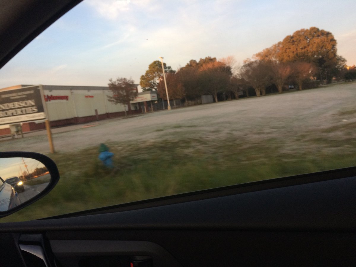
Frost on my way to work, in northwest Houston, TX, during the early morning.
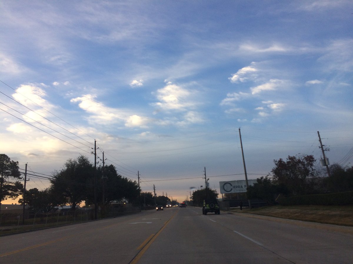
Northwest Houston, TX, during the early morning.
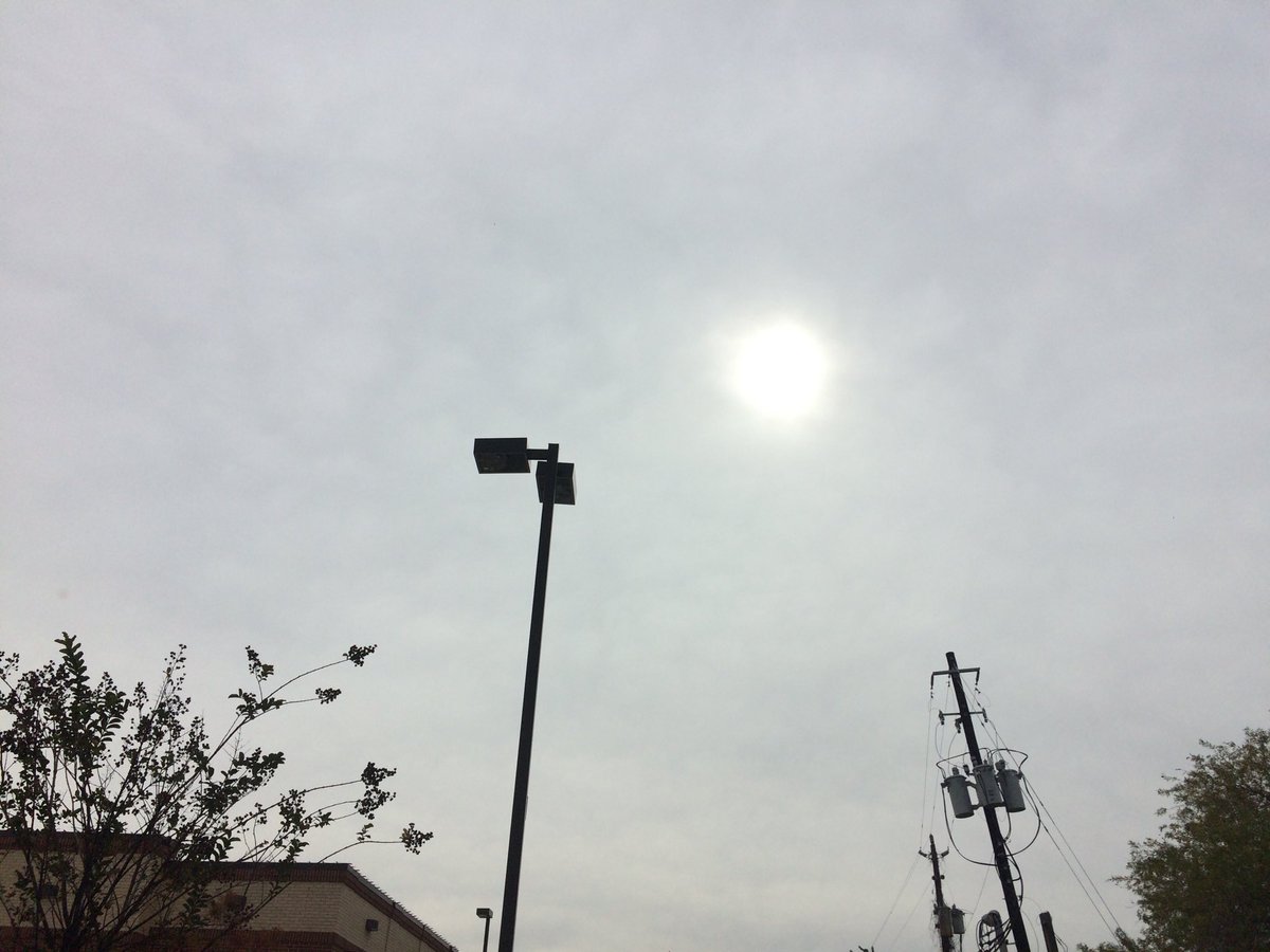
West Houston, TX, during the early afternoon.
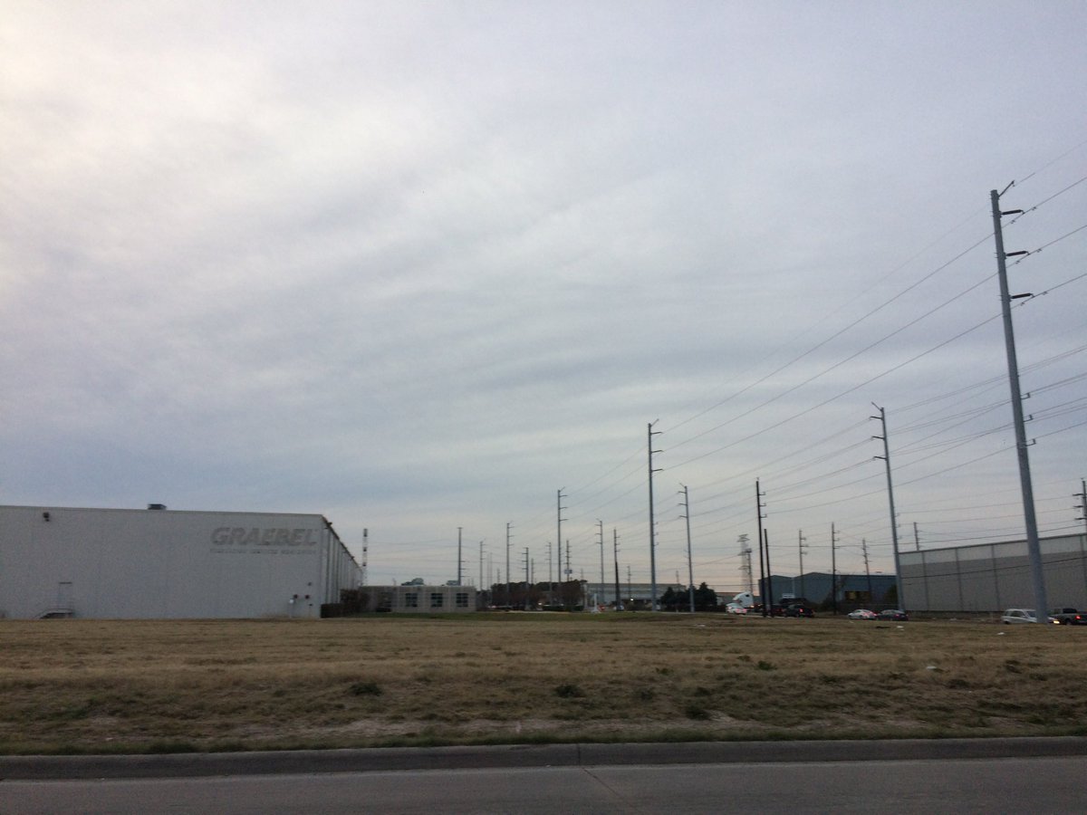
Northwest Houston, TX, during the early evening.
Thoughts: I wasn't able to get write a summary, because I wasn't feeling well in the morning.
Area Forecast Discussion
Issued by NWS Houston/Galveston, TX
Issued by NWS Houston/Galveston, TX
Versions: 1 2 3 4 5 6 7 8 9 10 11 12 13 14 15 16 17 18 19 20 21 22 23 24 25 26 27 28 29 30 31 32 33 34 35 36 37 38 3940 41 42 43 44 45 46 47 48 49 50
796
FXUS64 KHGX 140211
AFDHGX

Area Forecast Discussion
National Weather Service Houston/Galveston TX
811 PM CST Wed Dec 13 2017

.DISCUSSION...
At 800 PM, surface high pressure was located over the eastern Gulf
and a weak cold front extended from SW MO into central OK and then
into the Texas panhandle. The front will move slowly south
overnight and will cross SE TX late Thursday afternoon. Cirrus
clouds continue to stream over the area and IR imagery shows the
cirrus extending across Mexico and into the Pacific. The
trajectory will keep the cirrus moving over the region tonight. A
light south flow and the cirrus will likely limit the temperature
drop tonight so conditions should be warmer than last night.
Tweaked temps and sky grids to match current obs otherwise the
rest of the forecast looks on track.

Looking ahead, A neutral/slightly negatively tilted short wave
trough will move east late Saturday into Saturday night. A surface
low will approach Matagorda Bay and rain should develop late
Saturday. Showers and thunderstorms look likely on Saturday night
as the low moves across the region. 43

&&

.PREV DISCUSSION... /ISSUED 519 PM CST Wed Dec 13 2017/

AVIATION...
VFR conditions are expected through the period. A front will push
through the area tomorrow reaching CLL around 18Z and IAH around
23-00Z. 11

PREV DISCUSSION... /ISSUED 407 PM CST Wed Dec 13 2017/

DISCUSSION...
Quiet weather for the late week, with a warmer day tomorrow before
a cold front tomorrow night chops temperatures back down. The
forecast gets much trickier for the weekend with rising rain
chances and potential for a coastal low passing through. There may
be some outside potential for locally heavy rain or even some
severe weather, but that potential is very heavily dependent on an
uncertain track for any potential low, and confidence is low. Once
that clears out - likely Sunday - look for quieter weather to
return next week.

NEAR TERM [Through Tonight]...

Satellite (and a look out the window) shows copious coverage of
high clouds both here and across the corner of Southeast Texas
we`re responsible for. This has kept temperatures a little
suppressed, and safely under seasonal averages for high
temperatures.

Tonight, we can probably look for more of the same - on the flip
side of today, this should keep temperatures from falling as far,
and for now keep most of the entire area above 40 degrees, save
for the far northern portion of Houston County where the veil of
high clouds is not quite as thick. Still, even there I stay just
below 40 degrees, so frost should not be a player overnight unless
we get a more significant temp drop.

SHORT TERM [Thursday Through Friday Night]...

A modestly warmer day is expected tomorrow, mainly in the
southwest, but this will be a short-lived trend as a weak cold
front is expected to push through the area as well, before
stalling offshore tomorrow night. Winds will turn northerly and
become a bit gusty overnight, more towards the coast. Rain chances
will be nil for inland areas, with precipitable water showing a
dry column with values near 0.5 inches. A bit of a different story
near the coast, where precipitable water will be more in the
0.75-1.00 inch range Thursday night. By this point the front is
already through, but the front will be nearby, there will be
sufficient moisture present, and we`ll have the help of being in
the right rear quadrant of the upper jet, helping support upwards
motion. All in all, think we`ve got a shot at seeing some showers
in those coastal areas mainly south of I-10. The best chance of
showers will likely be Thursday night, and trail off through
Friday as the front sags a little farther away from the coast,
taking the best rain potential farther offshore.

LONG TERM [Saturday Through Wednesday]...

From there, things start to get tricky. There is pretty solid
model consensus for the development of a coastal low along the
stalled front, which will then move northeastward towards our
area. From there, some fairly small, but very important
divergences in the model begin to emerge. On the bright side (for
us), the Euro brings the surface low ashore near Galveston Bay
late Saturday night. There`s a low level jet of 40-50 knots and
plenty of moisture to help support rain showers. Some CAPE near
the coast would make for some thunderstorm potential. Fortunately,
the upper jet is a little out of phase yet, and things don`t get
quite lined up for heavier rain until everything has moved to our
east late Saturday night. On the other hand, the GFS brings the
low in near Matagorda late Saturday night. The same strong onshore
LLJ exists, but we`re a little better phased with the upper jet.
Again, some CAPE is around near the coast allowing for some
thunder. However, now with surface winds significantly backed
ahead of the low, we`re now looking at a lot of veering winds and
with strong vertical shear, that would make for a low level
hodograph that wouldn`t make some low-topped spinners an outside
possibility. Perhaps more significantly, the strong onshore flow
and dynamics could make for some locally heavy rainfall.

So, that largely presents a best and worst case scenario. For
perspective, the GEFS members range from a third of an inch of
rain to three inches of rain at IAH. For now, have significantly
upped PoPs in this area, but have held off on hitting a severity
until it becomes somewhat more apparent as to what kind of track
we`ll get on this coastal trough/low.

Fortunately, things look to clear out relatively quickly. The
trend will be towards quieter weather for the first half of the
week with a generally dry cold front Tuesday, though there is
another shot for showers very near the coast if there`s enough
moisture return.

MARINE...

Tranquil maritime weather pattern through tomorrow...weak westerlies
over near 1 to 2 foot seas. An early Friday morning cold frontal
passage will increase the likelihood of early day rain turning more
showery into the Friday afternoon hours. Offshore winds will
strengthen to brief advisory during the morning hours...bays and
nearshore water cautions by the afternoon. Advisory level far
offshore winds will come down right around Friday sunset. A fairly
quiet Saturday as northeasterlies veer around the eastern dial and
become onshore by mid day. The approach of a western upper trough
will pull up a more moist southwestern Gulf air mass and produce an
inverted surface trough. Thus...the weather will become increasingly
unsettled going into Sunday as onshore flow strengthens...seas build
with likely rain and storm probabilities. 31

FIRE...
Regional moisture will remain unchanged through early Friday...or
ahead of the next cold frontal passage slated for late Thursday
night into the early Friday morning hours. Afternoon minimum
relative humidities will fall into the lower to middle 40s the next
couple of days. Southwesterly transport will veer northerly Friday
with the passing boundary...strengthen to more moderate levels early
Friday in the wake of the front. Slow deepening of Thursday mixing
depths as it will take surface low 60s to break the stout early
morning inversion. 31

&&

.PRELIMINARY POINT TEMPS/POPS...
College Station (CLL)      43  66  41  57  38 /   0   0  10   0   0
Houston (IAH)              45  69  44  55  40 /   0   0  20  10  10
Galveston (GLS)            53  67  49  55  48 /   0   0  50  40  10

&&

.HGX WATCHES/WARNINGS/ADVISORIES...
TX...NONE.
GM...NONE.
&&

$$

Discussion...11
No comments:
Post a Comment