

Northwest Houston, TX, during the early morning.

West Houston, TX, during the early morning.
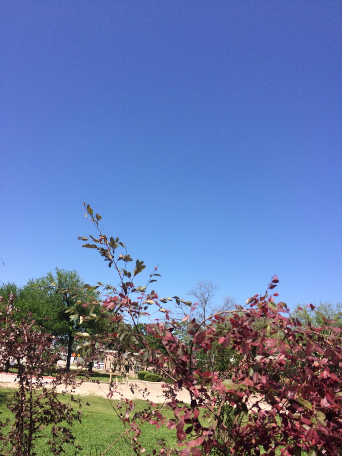
West Houston, TX, during the early afternoon.

West Houston, TX, during the mid-afternoon.

West Houston, TX, during the late afternoon.

West Houston, TX, during the early evening.


Northwest Houston, TX, during the late evening.
Summary: The day was mostly sunny, a little cool, and mostly dry. The day started out mostly cloudy, but then became clear during the mid and late morning. A line of showers and thunderstorms passed through the Houston, TX area during the early morning. I saw some drizzle in west Houston, TX. The radar showed a line of light to moderate rain passing over my house during the early morning. There was a special weather statement issued with the showers and thunderstorms. I don't remember seeing, or hearing about any other weather statement, or advisory, watch, or warning being issued for the Houston, TX area, during anytime of the day. The wind speeds were calm with moderate to moderately strong gusts. There might have been some really strong 20 to 25 mph wind gusts during the early morning. I didn't hear about any storm damage, or flooding, just some big puddles. The low temps were in the 60's, or maybe 50's and the high temps were in the 70's, or maybe low 80's, for the Houston, TX area. The temperature felt warm with a little cool to cool wind.
Locations: Northwest and west Houston, TX.
Thoughts: It felt a little cooler than I thought it would, but it didn't feel cold so that's good.
Hazardous Weather Outlook
Hazardous Weather Outlook
National Weather Service Houston/Galveston TX
528 AM CDT Sat Mar 25 2017

TXZ163-164-176>179-195>200-210>214-226-227-235>238-261030-
Austin-Brazoria-Brazos-Burleson-Chambers-Colorado-Fort Bend-
Galveston-Grimes-Harris-Houston-Jackson-Liberty-Madison-Matagorda-
Montgomery-Polk-San Jacinto-Trinity-Walker-Waller-Washington-
Wharton-
528 AM CDT Sat Mar 25 2017

This hazardous weather outlook is for portions of Southeast Texas..

.DAY ONE...Today and Tonight

A line of showers and thunderstorms will push east of the region
very early this morning. The stronger storms could produce brief
gusty winds in excess of 35 mph and pea size hail. The storms
should exit the region by 9 AM.

.DAYS TWO THROUGH SEVEN...Sunday through Friday

A vigorous storm system will track across North Texas on
Wednesday. This system will bring a good chance of showers and
thunderstorms to the region on Wednesday. A few of the storms over
the northern half of the region could be strong with damaging
winds and brief but locally heavy rain.

.SPOTTER INFORMATION STATEMENT...

Spotter activation will not be needed.

$$
No comments:
Post a Comment