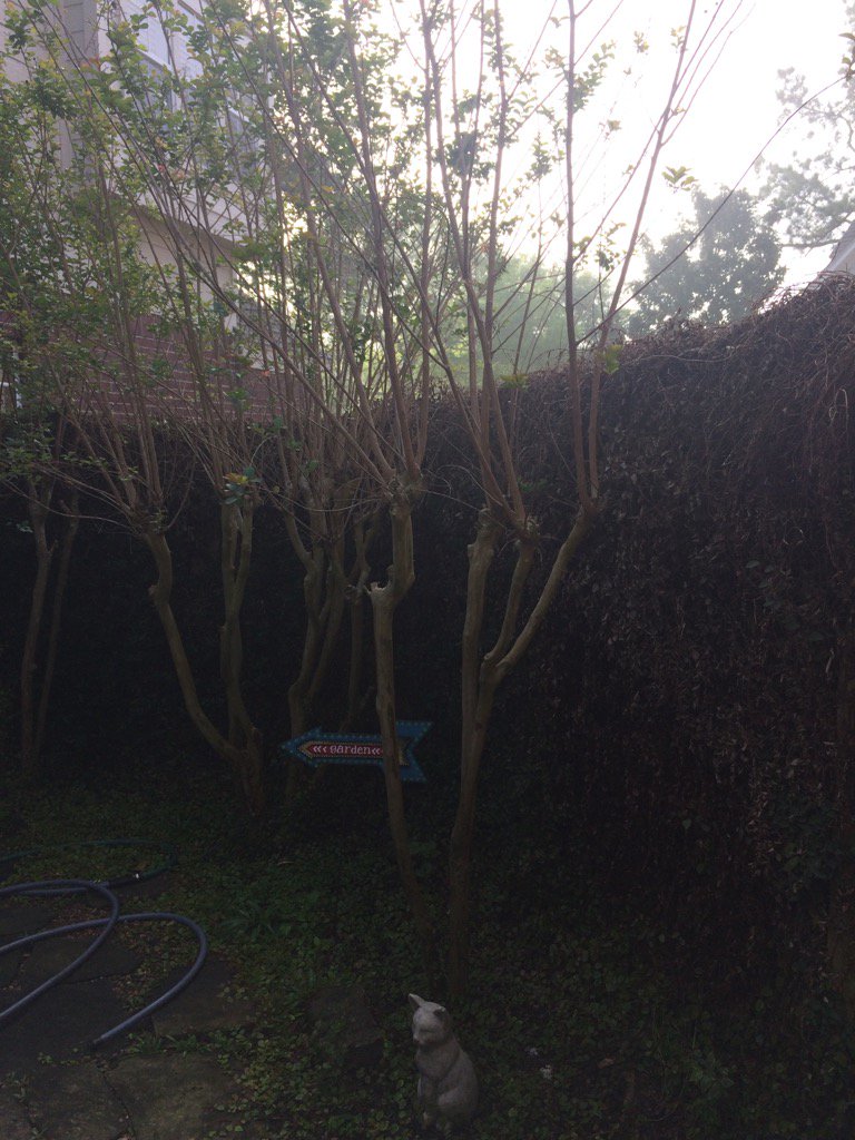
Northwest Houston, TX, during the mid-morning.
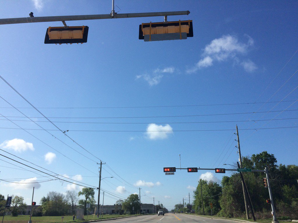
West Houston, TX, during the mid-morning.
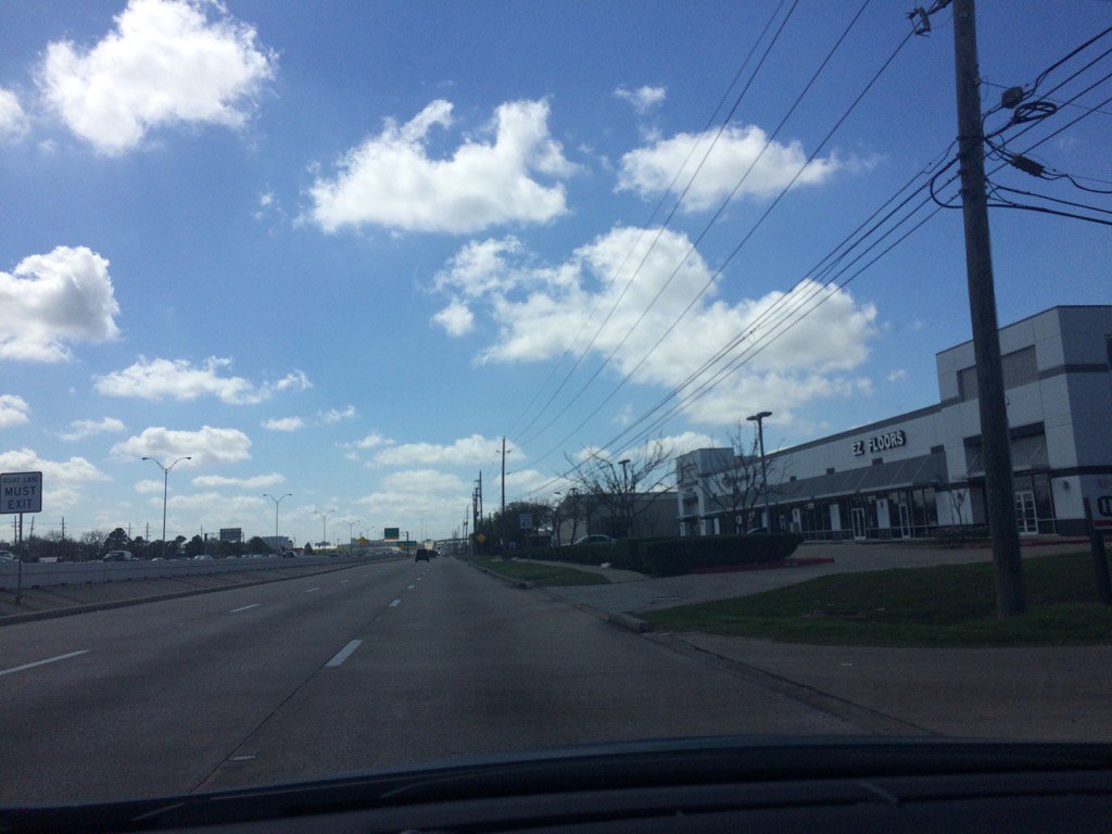
West Houston, TX, during the late morning.
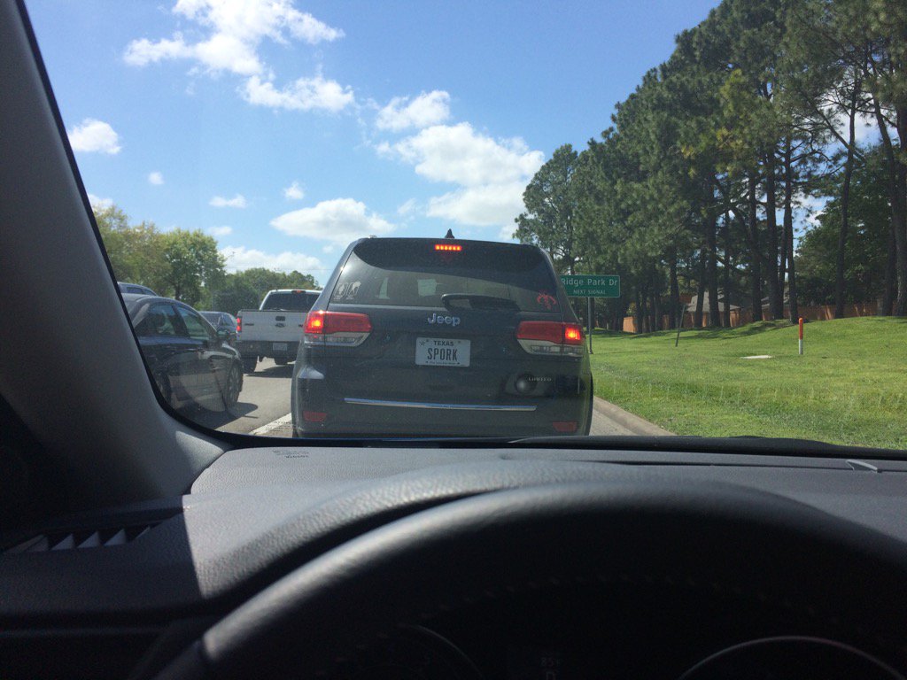
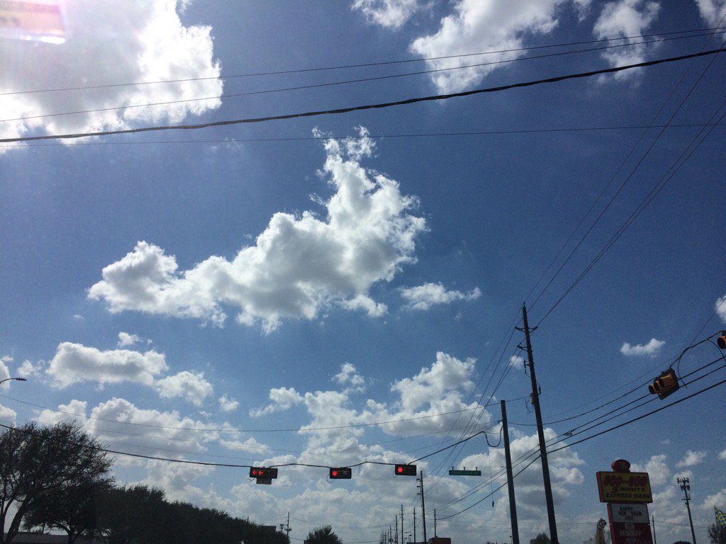
Northwest Houston, TX, during the early afternoon.
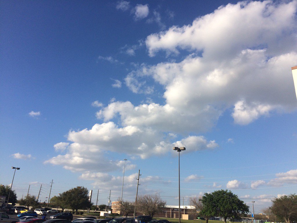
In, or maybe near Katy, TX, during the mid-afternoon.
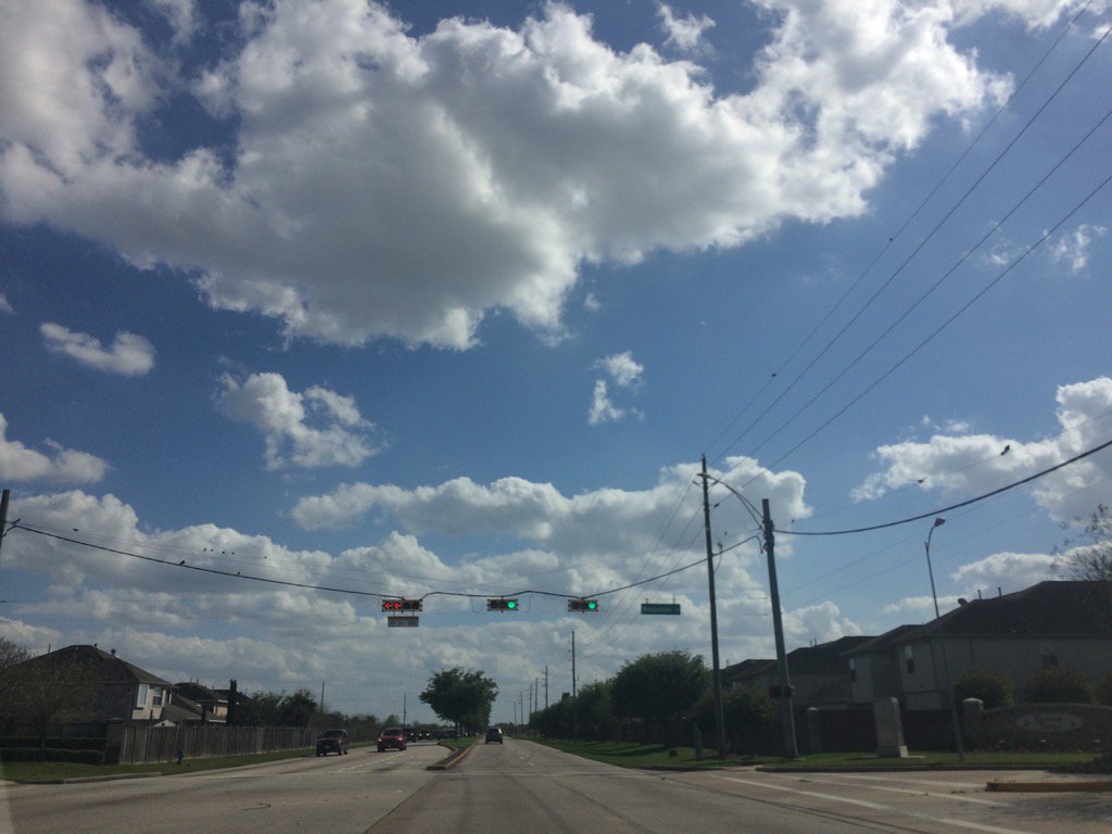
Katy, TX, during the mid-morning.
Katy, TX, during the early evening.
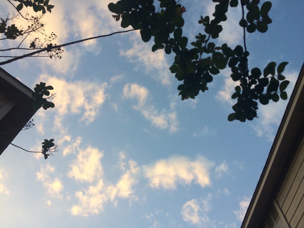
Northwest Houston, TX, during the late evening.
Summary: The day was sunny, warm, and dry. No rain. I didn't see, or hear about any rain drops falling anywhere in, or near the Houston, TX area, during anytime of the day. The wind speeds were calm with moderate to moderately strong gusts, some really strong gusts around 20 mph, especially during the night. The day started out cloudy with a moderate dense fog as seen in the first picture. The sky looked to be completely clear, during the night. The low temps were in the 60's with maybe some 70's and the highs were in the 80's, for the Houston, TX area. I didn't hear about, or see any advisories, watches, warnings, or weather statements. There was a fire reported by NOAA southwest of Houston, TX.
Locations: Northwest and west Houston, TX, Cypress, TX, and Katy, TX.
Thoughts: Not very active weather going on, but I am enjoying the warmth. I tried to swim in the pool, but the water was still a little too cold. I am hoping the water will become warm soon. Maybe by this Wednesday when I have my next day off.
Issued by NWS Houston/Galveston, TX
Home | Current Version | Previous Version | Text Only | Print | Product List | Glossary Off
Versions: 1 2 3 4 5 6 7 8 9 10 11 12 13 14 15 16 17 18 19 20 21 22 23 24 25 26 27 28 29 30 31 32 33 34 35 36 37 38 39 40 41 42 43 44 45 46 47 48 49 50
000
FXUS64 KHGX 200042
AFDHGX
Area Forecast Discussion
National Weather Service Houston/Galveston TX
742 PM CDT Sun Mar 19 2017
.UPDATE...
Forecast looks on track as we move into the nighttime hours, and
have only made tweaks to temperatures tonight to better reflect a
slightly quicker cooling trend as the sun goes down - still bring
temps to the same place in the end. Otherwise, continue to look
for patchy fog and/or some low clouds towards morning,
particularly closer to the coast.
Radar and satellite show the presence of a fire in southeastern
Chambers County, on or near the Anahuac National Wildlife Refuge.
The area in the vicinity of the plume visible on radar and
satellite is relatively unpopulated, but some light smoke may be
visible in the sky as far north as I-10 west of Winnie and
Stowell.
Luchs
&&
.PREV DISCUSSION... /ISSUED 628 PM CDT Sun Mar 19 2017/
AVIATION...
VFR conditions are expected through late this evening. Look for another
possibility of some low cloud and patchy fog formation during the late
night through early morning hours. Anything that does develop should
scatter out fairly quickly by mid-morning. VFR for the rest of the
day on Monday with mainly S to SSW winds around 10 knots. 42
PREV DISCUSSION... /ISSUED 239 PM CDT Sun Mar 19 2017/
DISCUSSION...
High pressure will continue over SE Texas through mid week. For
tonight and early tomorrow, patchy fog should result. However,
surface winds may be a bit higher than last night which should
make any fog formation a bit more patchier. This is reflected in
the high resolution models showing lower chances for fog formation
than 24 hours ago.
The main impacts of the high pressure ridging will be dry and warm
conditions. Daytime highs will reach into the lower 80s each day
through Thursday with some mid 80s possible. By the end of the
week, the upper level ridge will exit to the east as an upper
trough moves across the Rockies into the plains. Both the GFS and
ECMWF looked similar and both bring chances for showers and
thunderstorms to the forecast area Friday into early Saturday
followed by a dry and cooler weekend.
MARINE...
Quiet conditions are expected to persist across the marine areas over
the next several days as surface high pressure over the northern Gulf
results in light to occasionally moderate onshore flow. Winds and
seas should increase late in the work work ahead of the next weak
frontal boundary that is forecast to push off the coast early
Saturday morning.
&&
.PRELIMINARY POINT TEMPS/POPS...
College Station (CLL) 64 85 62 85 64 / 0 0 10 10 10
Houston (IAH) 63 84 63 85 64 / 0 10 0 0 10
Galveston (GLS) 67 76 68 76 68 / 0 0 0 10 10
&&
.HGX WATCHES/WARNINGS/ADVISORIES...
TX...NONE.
GM...NONE.
&&
$$
Discussion...25
No comments:
Post a Comment