Northwest Houston, TX, during the early morning.
West Houston, TX, during the late afternoon.
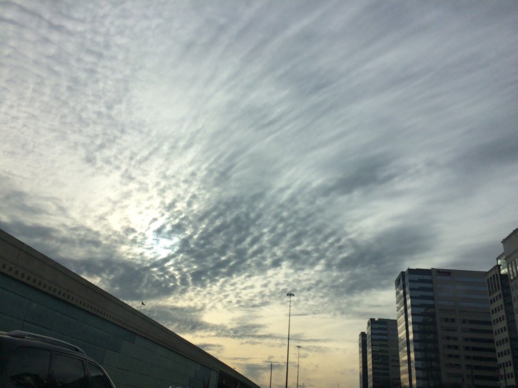
West Houston, TX, during the early evening.
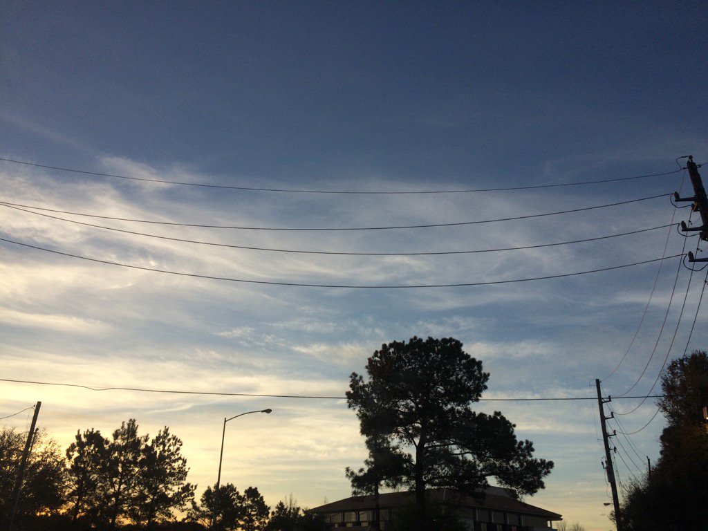
Northwest Houston, TX, during the late evening.
Summary: The day was mostly cool, mostly cloudy, and dry. It felt cool, almost cold during the early morning and night. It felt cool to a little cool, almost warm, during the rest of the day. No rain. I didn't hear about, or see any rain anywhere near, or in Houston, TX, during anytime of the day. There was a fire weather statement issued by NOAA for the Houston, TX, for Friday Match 3, 2017. I didn't see, or hear about any other watches, warnings, advisories, or weather statements issued for the Houston, TX area. The wind speeds were from calm to breezy. The low temps were in the 50's and the high temps were in the 60's and maybe 70's, for the Houston, TX area.
Locations: Northwest and west Houston, TX.
Thoughts: It felt pretty cool. I am hoping for some warmer temps and rain.
Area Forecast Discussion
Issued by NWS Houston/Galveston, TX
Area Forecast Discussion
Issued by NWS Houston/Galveston, TX
Versions: 1 2 3 4 5 6 7 8 9 10 11 12 13 14 15 16 17 18 19 20 21 22 23 24 25 26 27 28 29 30 31 32 33 34 35 36 37 3839 40 41 42 43 44 45 46 47 48 49 50
000
FXUS64 KHGX 030007
AFDHGX

Area Forecast Discussion
National Weather Service Houston/Galveston TX
607 PM CST Thu Mar 2 2017

.AVIATION...
VFR. Cirrus streaming over the area with NE winds of 5-12 knots
and diminishing overnight. Winds will gradually become easterly
in the morning and then increase. Southeasterly winds late
afternoon will be tapping into sparse low level moisture.
45


&&

.PREV DISCUSSION... /ISSUED 319 PM CST Thu Mar 2 2017/

DISCUSSION...
Another day of dry and fair weather is in store for SE Texas on
Friday. The main issue on Friday will be the very dry airmass that
may cause some elevated fire weather issues. The next chance of
rain will arrive with a shortwave trough on Saturday. This system
should help with the development of a coastal trough Saturday
night. Enough isentropic lift is expected to help bring rain
chances into the area earlier in the day on Saturday than was
earlier expected. The forecast soundings do not show much in the
way for thunderstorms over the weekend and went with just showers
both Saturday and Sunday.

A stronger system arrives on Monday and Tuesday and forecast
soundings show better chances for thunder both days. Expect a
frontal boundary to move through the forecast area on Monday night
and Tuesday. The front should be off of the coast by Tuesday
evening. A westerly flow aloft then develops over the area. The
models differ on rain chances after Wednesday and went with a
blend.

Another issue will be temperatures this coming week. After a
weekend with highs in the upper 60s to lower 70s, Monday is
expected to see highs in the lower 80s. An increase in the cloud
cover will help moderate things on Tuesday but highs are still
expected to reach to near 80. Even after the front, daytime highs
will be in the 70s on Wednesday and Thursday.

40

MARINE...
Unsettled conditions and Small Craft Advisories are expected in
the coastal waters through the weekend. Moderate to occasionally
strong northeast winds will gradually transition to the east and
southeast as a coastal trough develops. With persistent longer
fetch in place along w/ elevated seas, look for tide levels to
increase. Minor coastal flooding could be a concern Sat and esp
Sunday around times of high tide. Elevated surf, wave run up and
rip currents will also be an issue for anyone headed to the beach.
Showers and storms will move up the coast with the trough Sat night
& Sunday as well. Winds/seas will slowly diminish w/ its passage
late Sun & Monday. The next front is penciled in for midweek.  47

Fire Weather...
Elevated fire weather conditions will persist into early this
evening with low relative humidities and some wind gusts to 15-20
mph. Speeds should rapidly diminish at sunset. Expect similar
conditions again on Friday with winds starting to mix back to the
surface during the mid/late morning hours. 47

&&

.PRELIMINARY POINT TEMPS/POPS...
College Station (CLL)      42  70  47  65  57 /   0   0   0  50  50
Houston (IAH)              43  70  50  68  60 /   0   0   0  50  50
Galveston (GLS)            54  67  59  70  64 /   0   0   0  30  40

&&

.HGX WATCHES/WARNINGS/ADVISORIES...
TX...NONE.
GM...Small Craft Advisory until 6 PM CST Friday for the following
     zones: Coastal waters from Freeport to the Matagorda Ship
     Channel out 20 NM...Coastal waters from High Island to
     Freeport out 20 NM...Waters from Freeport to the Matagorda
     Ship Channel from 20 to 60 NM...Waters from High Island to
     Freeport from 20 to 60 NM.

&&

$$

Discussion...48
Aviation/Marine...45
No comments:
Post a Comment