Northwest Houston, TX, during the early morning.
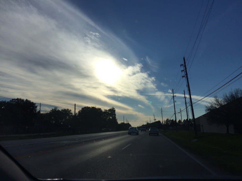
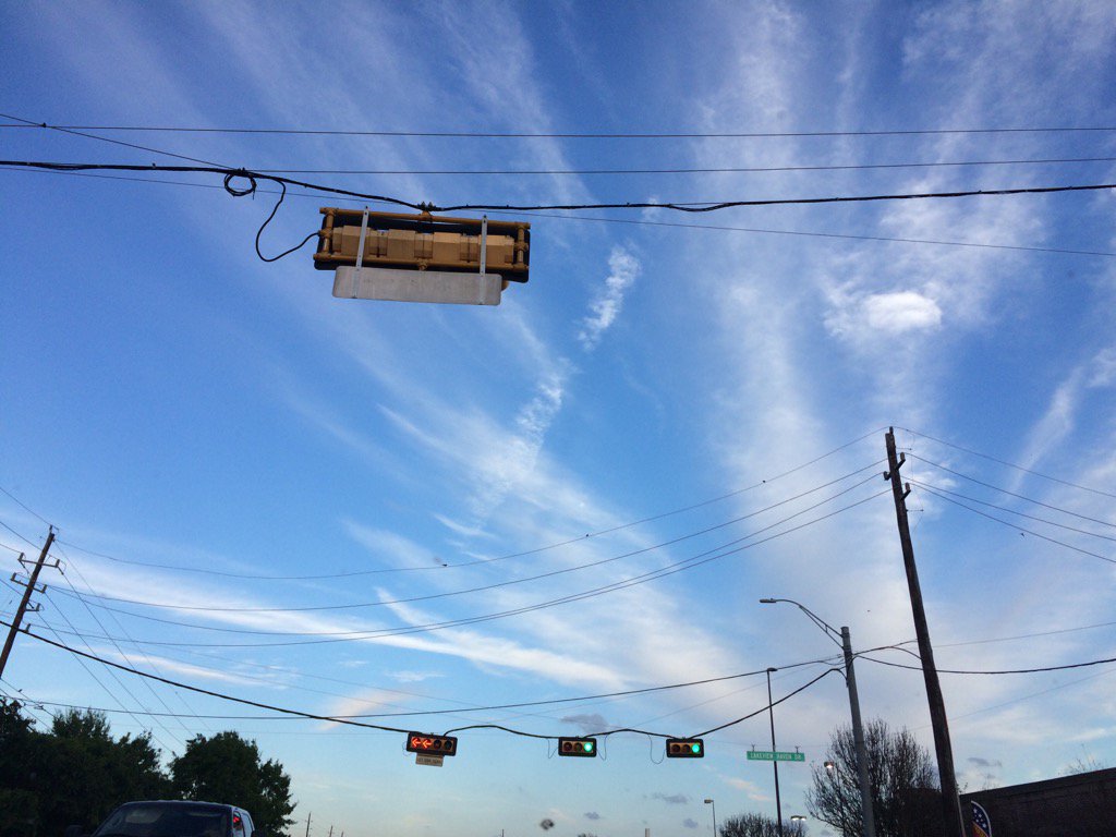
Northwest Houston, TX, during the early evening.
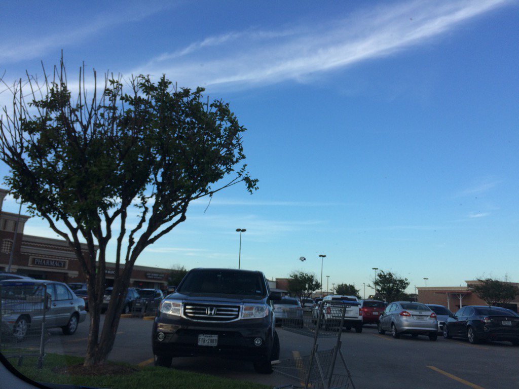
Cypress, TX, during the late evening.
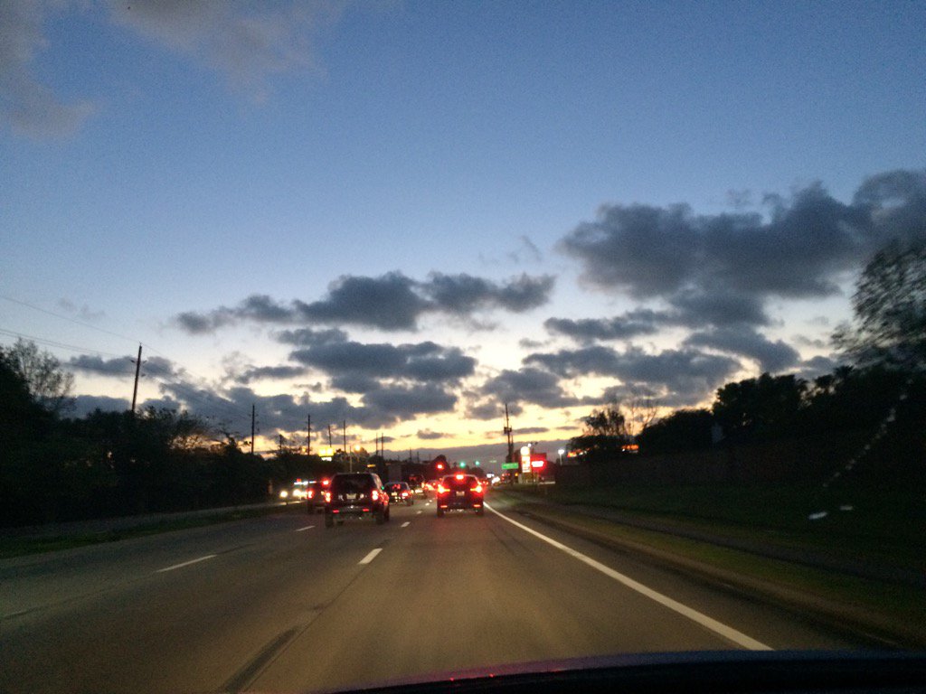
Northwest Houston, TX, during the late evening.
Summary: The day was sunny, dry, and windy. No rain. I didn't see, feel, or hear about any rain drops falling anywhere in, or near the Houston, TX area, during anytime of the day. Wavy stratus clouds looked to be widely scattered across the sky, during the morning, afternoon, and evening. Puffy stratus clouds looked to be scattered across the sky during the night. The wind speeds looked to be calm with moderate to moderately strong gusts. and some really strong 20 to 25 mph gusts with maybe some 30 mph gusts, especially during the night. I didn't hear about any watches, warnings, advisories, or weather statements being issued for the Houston, TX area. The low temps were in the 60's and the high temps were in the low to upper 80's, for the Houston, TX area. Above average high temps.
Locations: Northwest and west Houston, TX and Cypress, TX.
Thoughts: It has been really windy lately. I wonder if Houston, TX is going to get a lot of rain on Friday and Saturday.
Area Forecast Discussion
Issued by NWS Houston/Galveston, TX
Issued by NWS Houston/Galveston, TX
Versions: 1 2 3 4 5 6 7 8 9 10 11 12 13 14 15 16 17 18 19 20 21 22 23 24 25 26 27 28 29 30 31 32 33 34 35 36 37 3839 40 41 42 43 44 45 46 47 48 49 50
000
FXUS64 KHGX 240239
AFDHGX

Area Forecast Discussion
National Weather Service Houston/Galveston TX
939 PM CDT Thu Mar 23 2017

.DISCUSSION...
Mid evening temperatures across southeast Texas are in the upper 60s
to lower 70s. So far today, Galveston`s low temperature has been 71
degrees. If their temperature remains above 70 degrees for the rest
of the evening, they will tie their March 23rd record high minimum
temperature of 71 degrees set in 1907. Galveston`s average temperature
for the month (68.7 degrees through the 22nd) ranks as the 4th warmest
period on record (dating back to 1875). The warmest March 1-22 period
of 69.5 degrees happened back in 1907.

Showers and thunderstorms have developed this evening across the Texas
panhandle area in association with an approaching storm system. Latest
available models indicate little change in the timing of tomorrow`s
activity for our area as described in previous discussions below. 42
&&

.PREV DISCUSSION... /ISSUED 744 PM CDT Thu Mar 23 2017/

AVIATION...
Late day southern forecast area cumulus field now filling in to
either MVFR (near coast) to low end VFR ceilings. This trend of
early evening VFR decks filling in and lowering to MVFR through
the late evening will accompany persistent moderate southerlies.
Stronger onshore flow will likely maintain an overnight MVFR deck
and preclude fog development. An approaching cold frontal boundary
tomorrow will increase scattered early afternoon shower activity
leading to mid to late afternoon northwestern-to-southeastern
advancing thunderstorm behavior. The question of how strong the
mid-level cap will hold across the middle and southern forecast
area will ultimately determine any late day into early Friday
evening TSRA development/areal coverage. 31

PREV DISCUSSION... /ISSUED 403 PM CDT Thu Mar 23 2017/

DISCUSSION...
Temperatures this afternoon are back in the mid 80s or about 10
degrees above normal for this time of year. Dewpoints have mixed
out heavily from the 60s to the 40s in a few areas with gusty
southerly winds. Upper level analysis has upper level ridging over
much of Texas as expected with the strong upper level trough over
the southern Rockies. Water vapor imagery and visible for that
matter show cirrus moving over the area with anticyclonic
curvature due to the ridge.

Tonight southerly winds will remain around 10-15 mph so do not
expect any fog to develop. LLJ of 50kts at 850mb should allow for
at least some mixing and sustain higher winds overnight. Winds of
40-50kts at 850mb will continue tomorrow and veer to the SW during
the day. Look for surface winds of 15 to 25 mph and gusts over 30
mph at times.

By 18Z Friday a fairly stacked low will move into the TX/OK
Panhandles with a surface dryline extending from central Oklahoma
into central Texas. Dryline will act more like a Pacific front
which by Saturday may reach the Upper Texas Coast before stalling.
The boundary however will be the main focus for linear convection
in the form of a broken squall line or QLCS. All high resolution
model guidance have fairly consistent timing with the line of
storms pushing into SE Texas after 17-18Z Friday and push across
through 03-05Z Saturday (12PM Fri to 12AM Sat). Line of storms
could affect Houston during the evening hours from 21Z to 01Z
(4PM to 8PM Friday). Main hazards will be damaging straight line
winds and lightning, brief tornado along the line and then hail.

Overall there is good confidence in some type of line of storms
moving through the area, but low confidence in the
intensity/severity. Synoptic models still show a good trailing
vorticity max moving across the northern half of the area from 21Z
Friday to 00Z Saturday. The vorticity does become channelized
minimizing lift from any PVA farther south of I-10. Greatest
height falls and cooling aloft should be sticks to north of the
area but eventually pushes south by 06Z Saturday. By this time all
strong PVA shifts over Arkansas/Louisiana. What this means is
that the cap may be slow to erode over SE Texas and by the time it
does, there may not be any forcing for convection. Instability is
another question as models try to generate 1000-2000 J/kg of CAPE
but there is some concern that the quality of moisture may not
support surface dewpoints in the mid/upper 60s or enough to
support the instability. Low level moisture mixed out quite a bit
today and even dewpoints in the Gulf are in the mid 60s. The
severe weather threat comes from strong deep layer shear, 50-60kts
of 0-6km shear and low level shear of 20 knots. This will be more
than enough to organize severe convection like a QLCS with a
possible mesovortex along the line. Overall thinking is that the
cap will hold along the coast but remain weaker north of Houston.
Most likely areas for severe weather will be north of a Brenham
to Cleveland line. This should be where severe threat will be
greatest. Farther north instability will be weaker since moisture
return may not be quite as strong as progged. Regardless, there
are still several issues that make forecasting the threat for
severe weather challenging.

Another trough is expected to push through north Texas late
Sunday into Monday. There may be a few storms for extreme northern
areas of the forecast area but think the main threat for any
severe weather will be northeast of the area towards the Arklatex
and Louisiana. Lastly the active pattern continues for the middle
of next week. Models differ on timing but looks like
Wednesday/Thursday will be another time frame to monitor for
thunderstorm activity. 39

MARINE...
Not a lot of change with the previous thinking with regard to the
upcoming forecast. Light/moderate onshore winds prevailing so
far this afternoon, but will be expecting increased winds (and
then seas) for later tonight in response to the tightening
gradient (via the deepening low moving into the western Central
Plains). An SCEC has already been issued for offshore waters for
this afternoon...and have gone a- head and posted Caution/Advisory
flags for tonight/early tomorrow.

Still keeping with a slight W/NW wind shift for early Sat morning
in  the wake of the weak front for mainly the bays/nearshore
waters, but this will be short-lived as onshore winds return
areawide later that afternoon. These winds should pick up once
again late Sun as another system moving off the Rockies begins to
develop over the Plains. Not sure we will see as much gradient
tightening with this system compared to the one tomorrow, but
cannot rule out SCEC for this time frame at this time (Sun/Sun
night). The continuation of this v progressive pattern into next
week could bring more active weather/elevated wind and seas next
Tues night-Wed night. 41

&&

.PRELIMINARY POINT TEMPS/POPS...
College Station (CLL)      66  79  57  81  58 /  10  80  30  10  10
Houston (IAH)              68  81  65  83  60 /  10  50  60  10  10
Galveston (GLS)            70  79  71  80  68 /  10  20  50  20  10

&&

.HGX WATCHES/WARNINGS/ADVISORIES...
TX...NONE.
GM...SMALL CRAFT SHOULD EXERCISE CAUTION through Friday afternoon for
     the following zones: Galveston Bay...Matagorda Bay.

     Small Craft Advisory until 1 PM CDT Friday for the following
     zones: Coastal waters from Freeport to the Matagorda Ship
     Channel out 20 NM...Coastal waters from High Island to
     Freeport out 20 NM...Waters from Freeport to the Matagorda
     Ship Channel from 20 to 60 NM...Waters from High Island to
     Freeport from 20 to 60 NM.

     SMALL CRAFT SHOULD EXERCISE CAUTION until 10 PM CDT this evening
     for the following zones: Waters from Freeport to the
     Matagorda Ship Channel from 20 to 60 NM...Waters from High
     Island to Freeport from 20 to 60 NM.

&&

$$

Discussion...42
Aviation/Marine...31
Hazardous Weather Outlook
Hazardous Weather Outlook
National Weather Service Houston/Galveston TX
431 AM CDT Thu Mar 23 2017

TXZ163-164-176>179-195>200-210>214-226-227-235>238-240945-
Austin-Brazoria-Brazos-Burleson-Chambers-Colorado-Fort Bend-
Galveston-Grimes-Harris-Houston-Jackson-Liberty-Madison-Matagorda-
Montgomery-Polk-San Jacinto-Trinity-Walker-Waller-Washington-
Wharton-
431 AM CDT Thu Mar 23 2017

This hazardous weather outlook is for portions of Southeast Texas..

.DAY ONE...Today and Tonight

Fog will drop visibilities below two miles at times this morning
and motorists are urged to use caution on the morning commute.
Visibilities will improve by mid-morning.

.DAYS TWO THROUGH SEVEN...Friday through Wednesday

A storm system moving across Texas on Friday could produce a few
strong to severe thunderstorms Friday afternoon and night for
areas generally north of Interstate 10. Damaging winds and an
isolated tornado will be the main threats, but locally heavy rain
and large hail will also be possible.

.SPOTTER INFORMATION STATEMENT...

Spotter activation may be needed Friday afternoon and evening.

$$
No comments:
Post a Comment