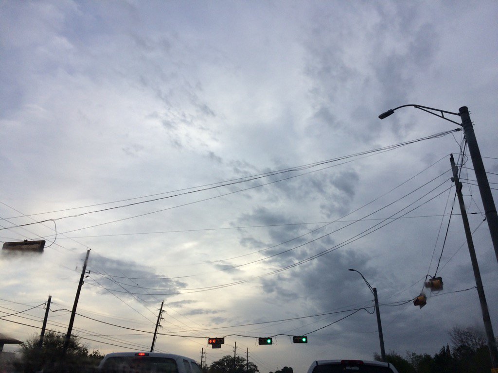
Northwest Houston, TX, during the early morning.
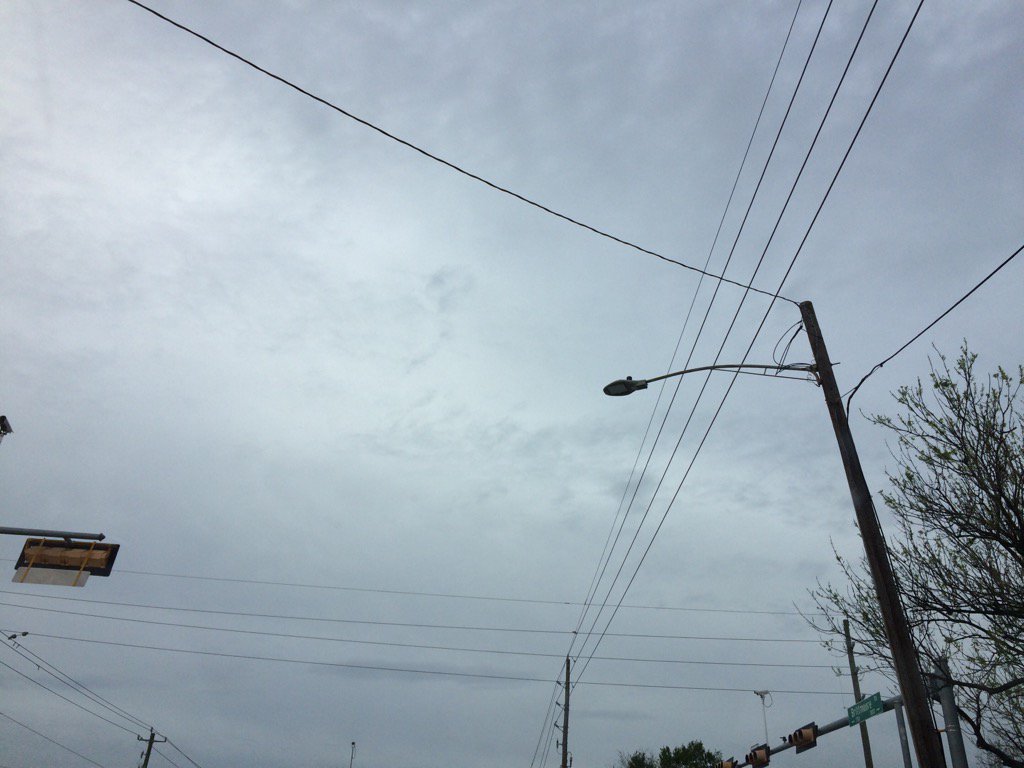
West Houston, TX, during the early morning.
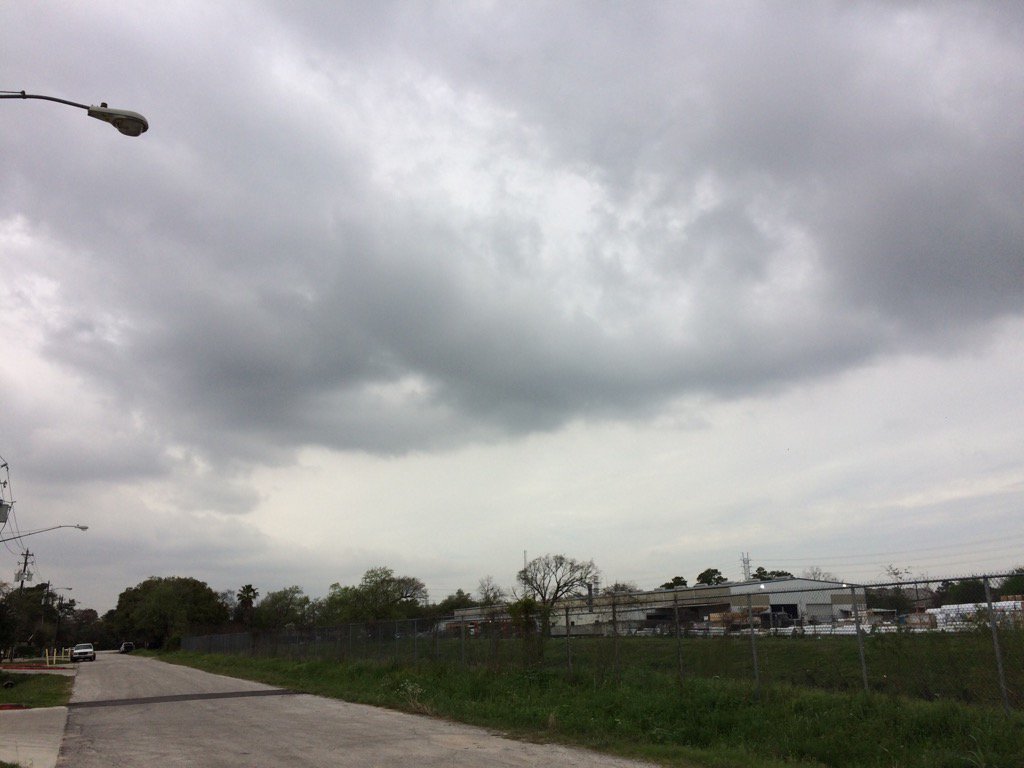
West Houston, TX, during the early afternoon.
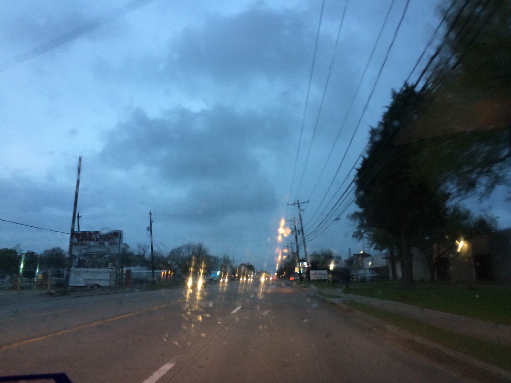
West Houston, TX, during the late evening.
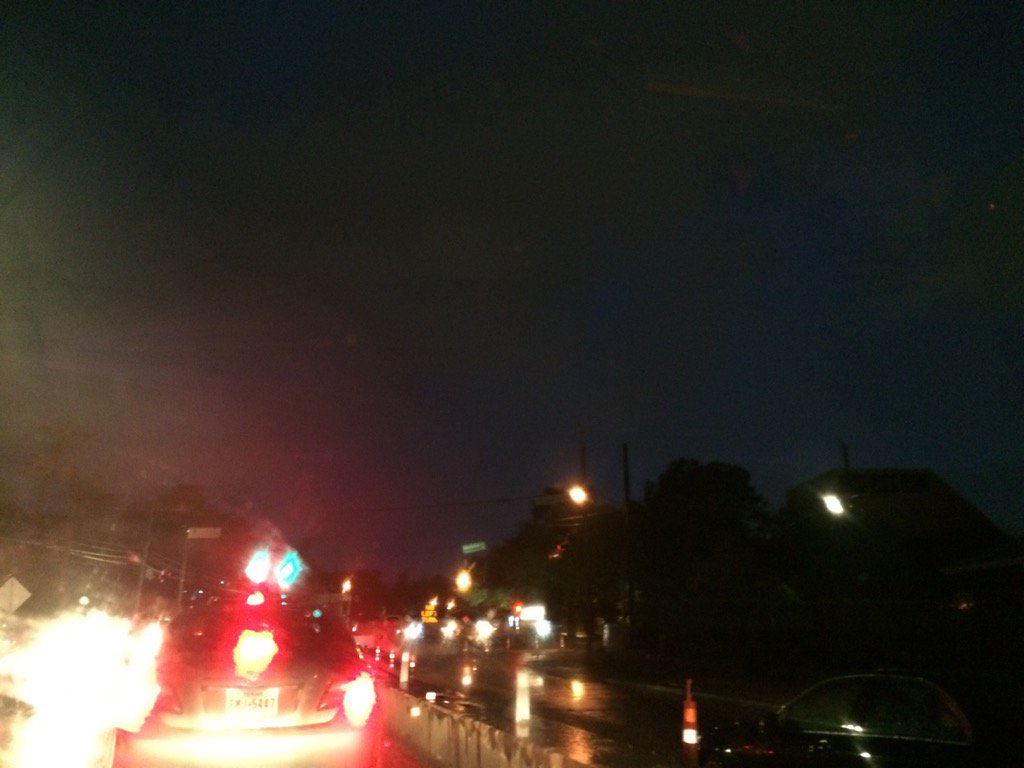
West Houston, TX, during the early night.
Summary: The day was cloudy, warm, and mostly dry, except for during the evening and night. Isolated to scattered clusters of light to really heavy showers and thunderstorms swirled around the Houston, TX area, during the morning, afternoon, evening, and night. I started to feel a few on and off drops rain where I work in west Houston, TX, sometime during the early, or mid-afternoon, or maybe late morning. A steady light sprinkle started to fall where I work in west Houston, TX, sometime during the early evening, or maybe late afternoon. I started to see a moderate sprinkle with a few low rumbles of thunder and flashes of lightning when I was driving around west Houston, TX, trying to get food, during the early night/ A light to moderate sprinkle was still falling on my way from west Houston, TX to where I live in northwest Houston, TX, during the early night. The wind speeds were mostly calm with maybe a few moderate to moderately strong gusts. There were no advisories, watches, warnings, or weather statements issued for the Houston, TX area, during anytime of the day, that I know of, but there might have been some with all of the showers and thunderstorms. The low temps were in the 60's and the high temps were in the 70's, for the Houston, TX area.
Locations: Northwest and west Houston, TX.
Thoughts: Well most areas of Houston, TX got some decent amounts of rain today. I wonder how much rain Houston, TX will get on Saturday. I am not looking forward to the cold and dry weather afterward.
Hazardous Weather Outlook
Hazardous Weather Outlook
National Weather Service Houston/Galveston TX
723 AM CST Fri Mar 10 2017

TXZ163-164-176>179-195>200-210>214-226-227-235>238-111330-
Austin-Brazoria-Brazos-Burleson-Chambers-Colorado-Fort Bend-
Galveston-Grimes-Harris-Houston-Jackson-Liberty-Madison-Matagorda-
Montgomery-Polk-San Jacinto-Trinity-Walker-Waller-Washington-
Wharton-
723 AM CST Fri Mar 10 2017

This hazardous weather outlook is for portions of Southeast Texas..

.DAY ONE...Today and Tonight

Scattered showers and thunderstorms are expected. Although no
widespread hazardous weather is expected, a few of the stronger
storms could produce localized street flooding, small hail and
gusty winds.

.DAYS TWO THROUGH SEVEN...Saturday through Thursday

We will be keeping our eye on the potential for some locally heavy
rain Saturday afternoon and night. Although confidence that
precipitation will occur is moderate to high, there is considerable
uncertainty in regards whether rates or overall amounts will be
heavy enough to produce localized flood impacts. At this time,
most computer model guidance suggests the higher rainfall amounts
will mostly be confined offshore. However, those that live
generally along and south of the Interstate 10 corridor should
keep up with the latest forecasts. Just minor changes could shift
this axis further inland.

.SPOTTER INFORMATION STATEMENT...

Spotter activation is not expected.

$$
No comments:
Post a Comment