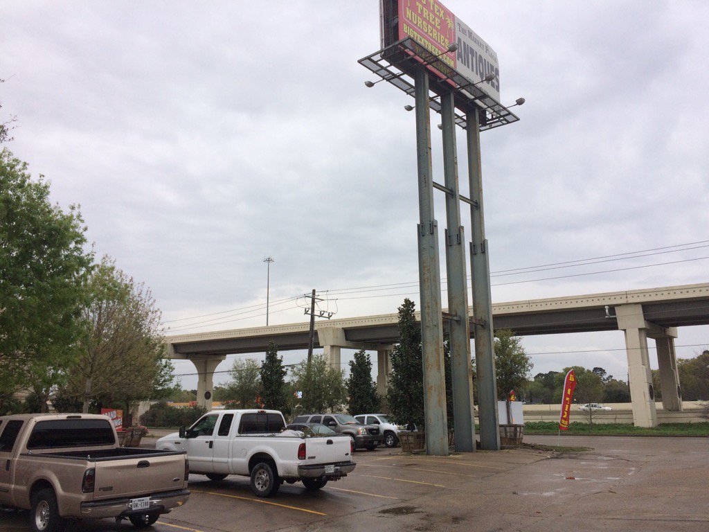
West Houston, TX, during the early afternoon.
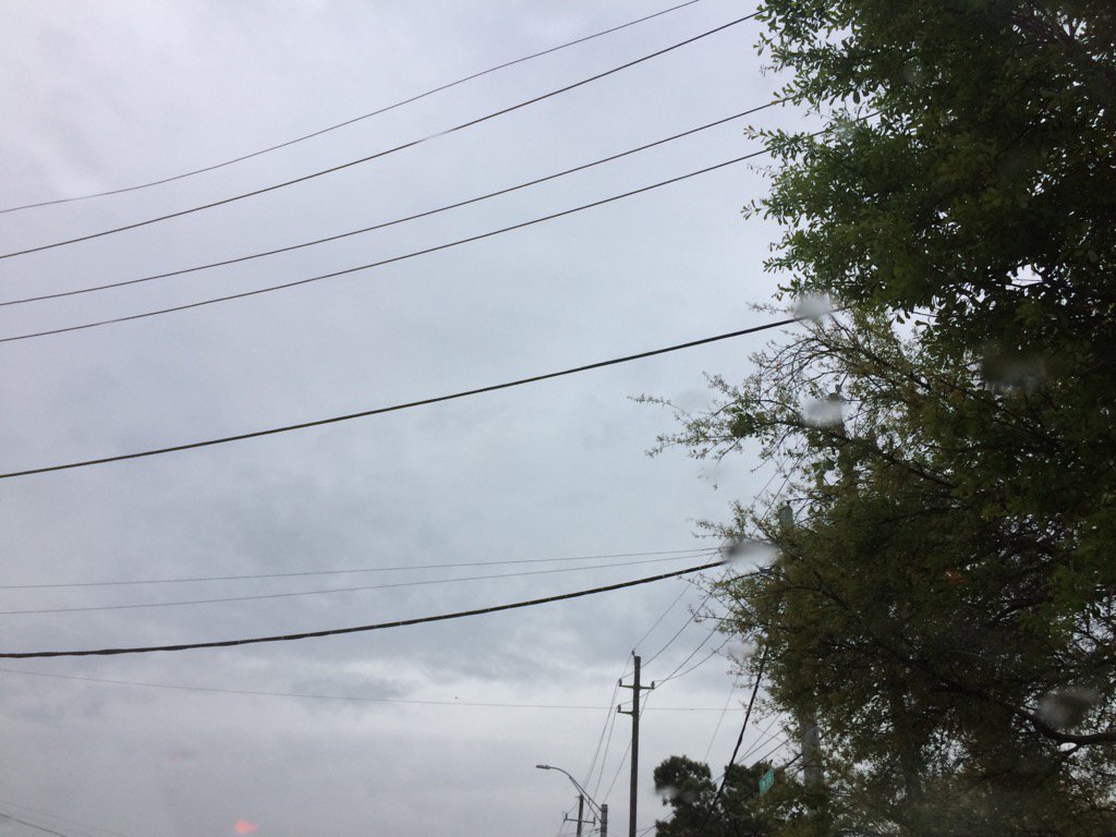
Northwest Houston, TX, during the early evening.
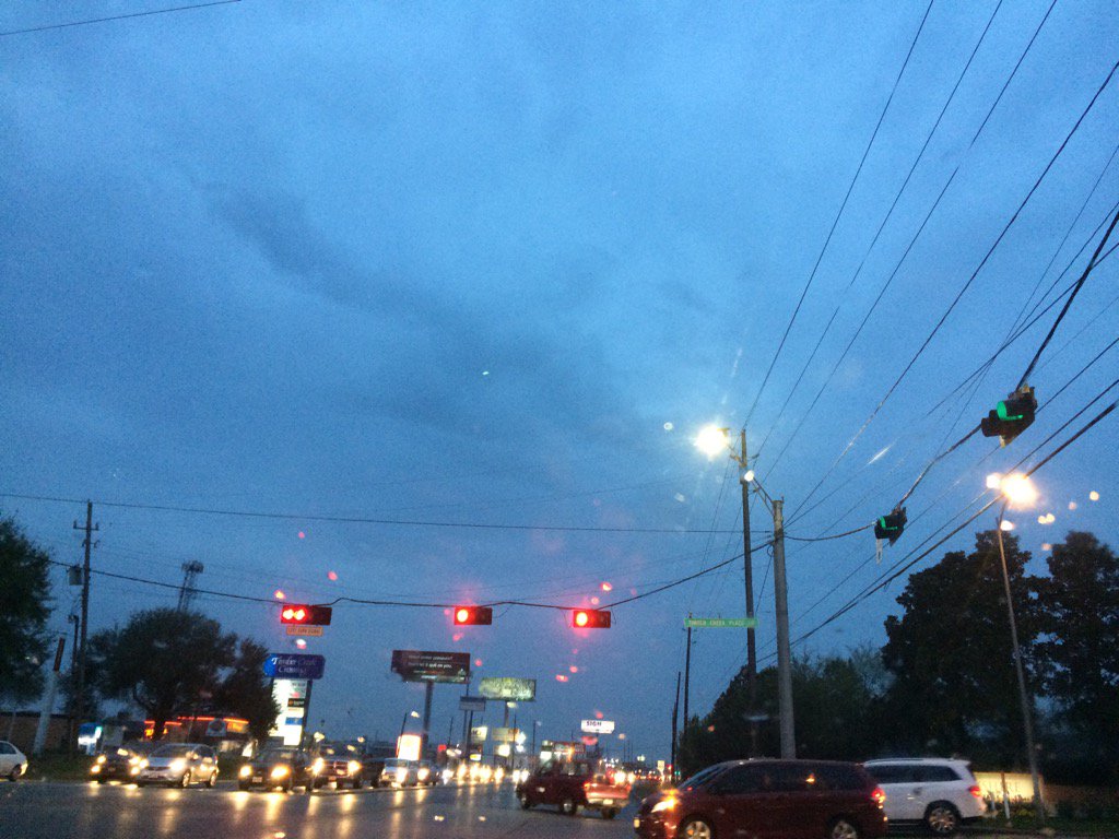
Northwest Houston, TX, during the late evening.
Summary: The day was cloudy, mostly wet, and cool. Light to moderate and some moderately heavy rain with maybe some thunder and lightning passed over Houston, TX periodically throughout the day. There was no flooding, just wet roads. The wind speeds were pretty calm with maybe some moderate to moderately strong gusts. There were no warnings, watches, advisories, or weather statements issued for the Houston, TX area, during anytime of the day, that I know of. The low temps were in the 60's and 50's and the high temps were in the 60's with maybe some low 70's, for the Houston, TX area.
Locations: Northwest and west Houston, TX.
Thoughts: I am enjoying the rain, but would enjoy some warmer temps. It felt cool all day.
Hazardous Weather Outlook
Hazardous Weather Outlook
National Weather Service Houston/Galveston TX
453 AM CST Sat Mar 4 2017

TXZ163-164-176>179-195>200-210>213-226-227-235-051300-
Austin-Brazos-Burleson-Colorado-Fort Bend-Grimes-Harris-Houston-
Jackson-Liberty-Madison-Montgomery-Polk-San Jacinto-Trinity-
Walker-Waller-Washington-Wharton-
453 AM CST Sat Mar 4 2017

This hazardous weather outlook is for portions of Southeast Texas..

.DAY ONE...Today and Tonight

An eastward moving storm system will bring increasing rain chances to
the area...especially this afternoon through tonight. Some locally
heavy rainfall is possible.

.DAYS TWO THROUGH SEVEN...Sunday through Friday

An eastward moving storm system will bring rain to the area on Sunday
with activity decreasing in coverage and intensity from west to east
as the day progresses. The next best chance of rain comes on Tuesday
ahead of the next cold front.

.SPOTTER INFORMATION STATEMENT...

Spotter activation may be needed tonight through early Sunday.

$$
No comments:
Post a Comment