
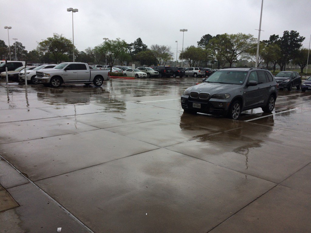
Northwest Houston, TX, during the mid-morning.

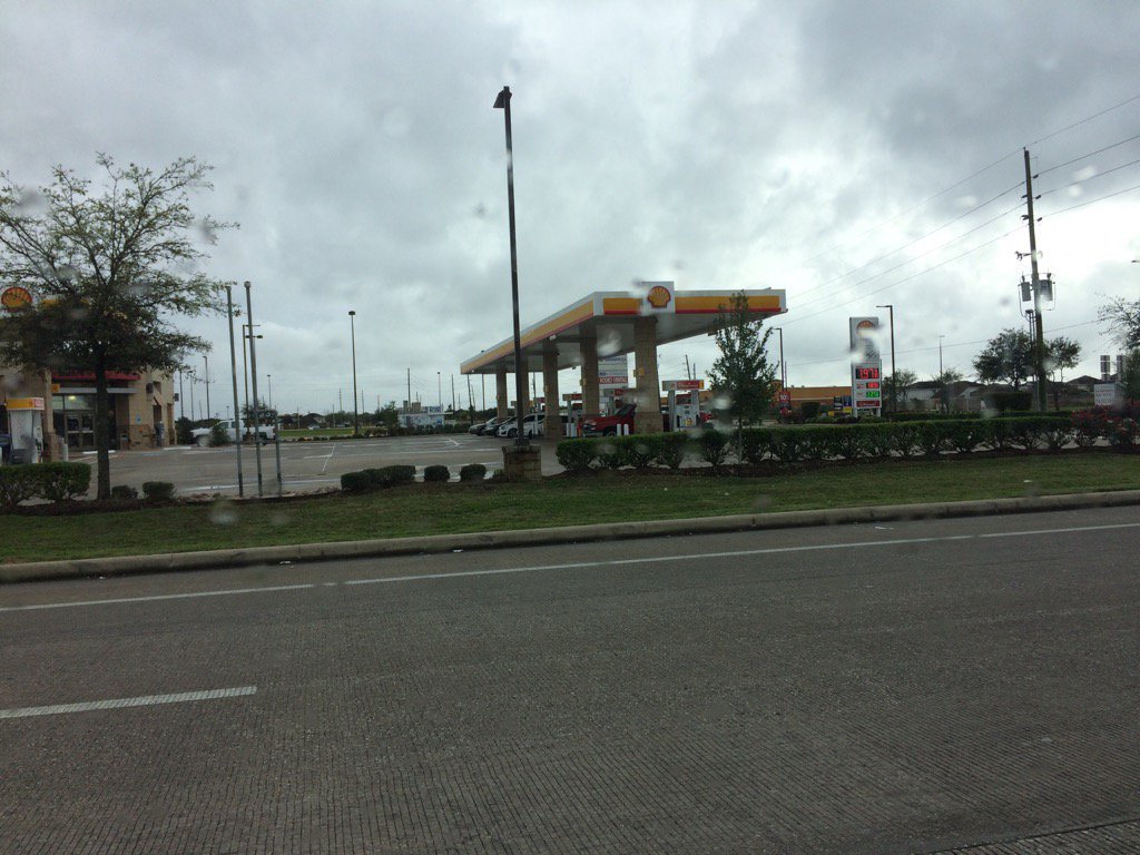
Northwest Houston, TX, during the early afternoon.
Northwest Houston, TX, during the early afternoon.
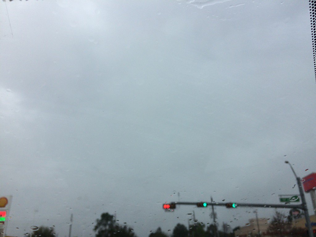
Katy, TX, during the mid-afternoon.
Summary: The day was mostly cloudy, wet, and a little cool. Light to moderately heavy with some heavy and maybe some really heavy showers and a few thunderstorms passed through the Houston, TX area, periodically, on and off, during the morning, afternoon, evening, and night. I saw mostly light to moderate rain with some moderately heavy rain and a few lightning strikes with a few rumbles of thunder, during the morning, afternoon, evening, and night. It still felt a little cool, but much warmer than it did yesterday. The wind speeds were mostly calm with a few occasional moderate to moderately strong gusts. There was a flood advisory issued from I think 3 pm to 6 pm, for some areas in and near Houston, TX. There weren't any other watches, warnings, advisories, or weather statements issued for the Houston, TX area, that I know of. I didn't see, or hear about any flooding, or any other damages from the showers and thunderstorms that passed through the Houston, TX area. They just brought some really wet and slick roads with some huge puddles on the sides of some roads. The low for Houston, TX was in the 50's and the highs were in the 60's and maybe some 70's.
Locations: Northwest and west Houston, TX, Cypress, TX, and Katy, TX.
Thoughts: Houston, TX finally got some decent rain. It is also starting to feel warm again. There is still a lot more rain forecast to pass through the Houston, TX area, through Tuesday.
Hazardous Weather Outlook
Hazardous Weather Outlook
National Weather Service Houston/Galveston TX
403 AM CST Sun Mar 5 2017

TXZ163-164-176>179-195>200-210>213-226-227-235-061300-
Austin-Brazos-Burleson-Colorado-Fort Bend-Grimes-Harris-Houston-
Jackson-Liberty-Madison-Montgomery-Polk-San Jacinto-Trinity-
Walker-Waller-Washington-Wharton-
403 AM CST Sun Mar 5 2017

This hazardous weather outlook is for portions of Southeast Texas.

.DAY ONE...Today and Tonight

An eastward moving storm system will bring rain chances to the area
today. Some locally heavy rainfall is possible.

.DAYS TWO THROUGH SEVEN...Monday through Saturday

A cold front will move into the area on Tuesday. The best chance for
any strong to severe thunderstorms is expected to be off to our east
and northeast.

.SPOTTER INFORMATION STATEMENT...

Spotter activation may be needed today.

$$
No comments:
Post a Comment