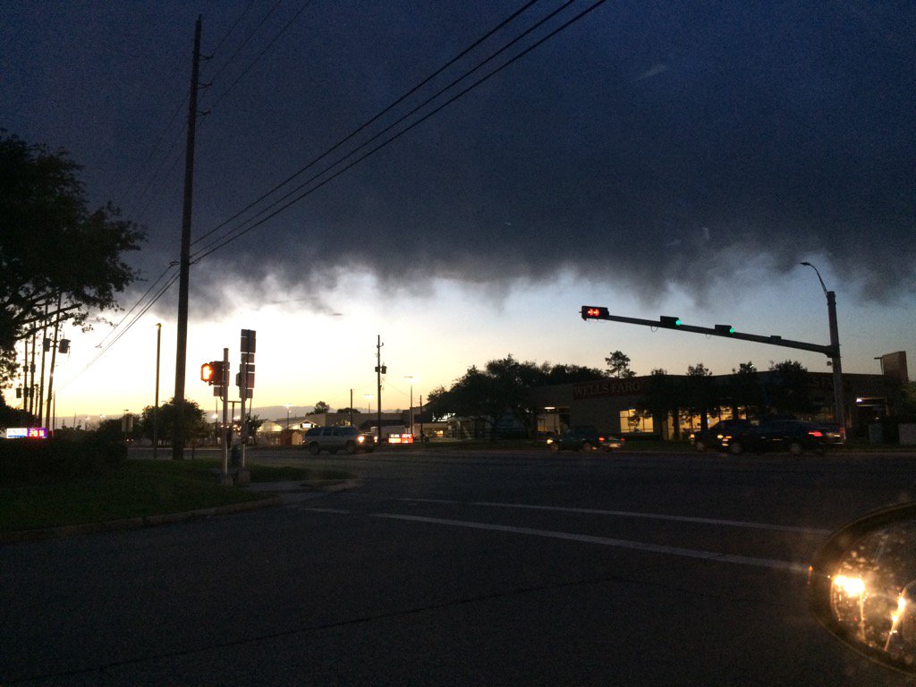
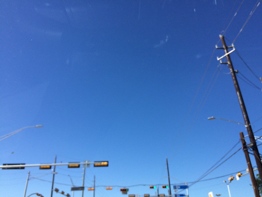
Northwest Houston, TX, during the early morning.
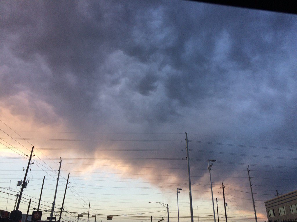
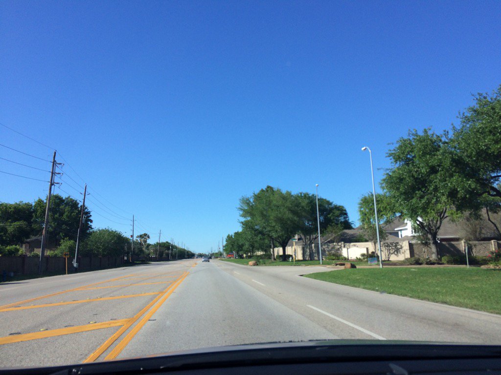
West Houston, TX, during the early morning.
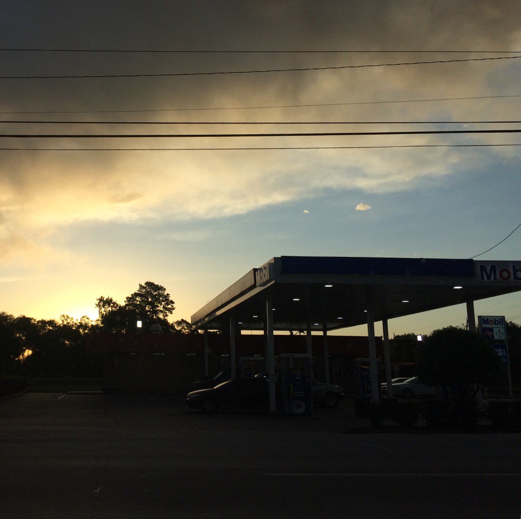
West Houston, TX, during the early morning.
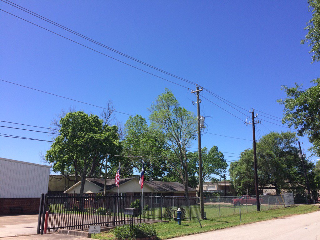
Northwest Houston, TX, during the late afternoon.
Northwest Houston, TX, during the early evening.
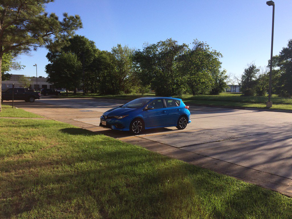
West Houston, TX, during the late evening.
Locations: Northwest and west Houston, TX.
Thoughts: No rain, it felt cool during the morning and a little cool during the night.
Area Forecast Discussion
Issued by NWS Houston/Galveston, TX
Issued by NWS Houston/Galveston, TX
Versions: 1 2 3 4 5 6 7 8 9 10 11 12 13 14 15 16 17 18 19 20 21 22 23 24 25 26 27 28 29 30 31 32 33 34 35 36 37 3839 40 41 42 43 44 45 46 47 48 49 50
000
FXUS64 KHGX 310227
AFDHGX

Area Forecast Discussion
National Weather Service Houston/Galveston TX
927 PM CDT Thu Mar 30 2017

.DISCUSSION...
Clear skies, light wind & dry atmosphere allowed for a decent drop
in temps once the sun went down. Current forecast looks good and
just updated grids to match current obs/trends for the evening
update.

Lingering dry airmass should allow for a quick warm-up on Friday.
Looks like highs will top out around 10 degrees above normal.  47

&&

.PREV DISCUSSION... /ISSUED 652 PM CDT Thu Mar 30 2017/
AVIATION...
No issues for tonight/tomorrow with VFR conditions
prevailing. We could see some patchy fog tomorrow night/early Sat
morning as on- shore winds/low-level moisture return to the area. 41

PREV DISCUSSION... /ISSUED 407 PM CDT Thu Mar 30 2017/
After yesterday`s storms, mostly sunny skies and light
northwesterly winds greeted the region today. Temperatures as of 3
PM CDT had risen into the mid to upper 70s. With clear skies
continuing tonight in the wake of yesterday`s system (now over
Missouri), radiational cooling will allow for overnight
temperatures to fall into the mid 50s to mid 60s.

Surface analysis shows a slowly moving cold front dropping south
across Oklahoma this afternoon, but the departure of the compact
upper low over Missouri will result in loss of mid/upper level
forcing for this feature and keep it well north of Southeast Texas
overnight. Shortwave ridging will build into the region tonight
behind this departing system, with the main axis amplifying east
of Southeast Texas on Friday as another system approaches from the
Great Basin. This amplified upper ridging will promote another
day of dry and mostly sunny conditions on Friday, as well as near
record to record high temperatures possible across much of
Southeast Texas on Friday. Record high temperatures may be
possible again along the Upper Texas Coast on Saturday.

Upper flow aloft will become increasingly south to southwest on
Saturday as a disturbance shifts from the Four Corners farther
into New Mexico. Unfortunately, there is still considerable
uncertainty regarding the Saturday and Sunday portion of the
forecast as model guidance continues to remain somewhat out of
phase regarding timing and placement of features. A surface low
looks to develop over the Panhandles with an attendant dryline
stretching into West Central Texas as a result, with speed and
moisture convergence across West Central Texas associated with the
developing surface low encouraging a few isolated showers across
the western counties on Saturday morning. Farther west (across the
Permian Basin and Low Rolling Plains), diurnal heating along the
dryline looks to result in thunderstorm development... with lift
from the approaching upper level system possibly resulting in
upscale growth into an thunderstorm complex that moves across the
state on Saturday night. This could serve as one round of rainfall
for the region should this complex develop and actually make it
to Southeast Texas.

Rain chances will increase more on Sunday, however, as the upper
disturbance digs into northern Mexico on Sunday and then sweeps
into the region on Sunday night. Precipitable water values surge
to 1.5 to possibly 1.9 by Sunday, increasing concerns for at least
a locally heavy rain as upper divergence associated with the
approaching disturbances promotes the development of numerous to
widespread showers and thunderstorms. Several features are in
place Sunday to confirm the concern for heavy rain and possibly
flooding: a surface reflection/trough and approaching cold front
associated with the upper trough that may help focus rainfall,
high atmospheric moisture content, and rainfall that has been
observed recently (generally across areas south of Interstate 10).

However, model solutions from the GFS and European during this
time show that some of the synoptic features necessary for a true
Maddox heavy rain event (in this case, how the atmospheric
moisture in the column is aligned) are out of phase... which
raises concerns on the actual severity of the heavy rain threat.
This is not to downplay the threat for heavy rain as the region
will see rain on Sunday... but the mesoscale appears to be the
bigger driver at this point for the materialization of this threat
in the region. Adding further to the uncertainty to the forecast
for Sunday is the wide spread in forecast rainfall, with SREF 3
hourly QPF plumes advertising a considerable spread anywhere from
0 to 2 inches throughout the day on Sunday. Increasing wind shear
associated with the passage of this system may also promote a
severe weather threat with stronger thunderstorms on Sunday.

Regardless, the passage of this system Sunday night will push a
cold front off the coast and end rain chances for the region at
the beginning of next week. Dry and warm conditions will become
established behind the front through mid-week, but an approaching
front may bring low rain chances back into the forecast by
Wednesday. Huffman

MARINE...
North to northwest winds have been coming down this afternoon,
and so have the seas. South winds are still on schedule to come
back to the area later tonight and tomorrow and strengthen
tomorrow night and Saturday when caution flags and/or advisories
will be needed. Increasing chances of showers and thunderstorms
will accompany the moderate to strong onshore flow over the
weekend, and elevated tides might cause some minor impacts over
Gulf facing beaches. The next cold front moves off the coast
Sunday night and on into Monday with a moderate to strong offshore
flow expected to develop in its wake. Look for onshore winds to
come back Monday night and Tuesday followed by the area`s next
cold frontal passage on Wednesday. 42

CLIMATE...
Near record to record high temperatures will be possible across
parts of Southeast Texas on Friday and Saturday. Record high
temperatures and the years they occurred are listed below.

March 31 Records
LOCATION                  RECORD HIGH     YEAR
Houston Intercontinental      88          1946
Houston Hobby                 88          2016
College Station               94          1946
Galveston                     80          1941

April 1 Records
LOCATION                  RECORD HIGH     YEAR
Houston Intercontinental      89          1936
Houston Hobby                 89          1974
College Station               93          1936
Galveston                     81          1935

&&

.PRELIMINARY POINT TEMPS/POPS...
College Station (CLL)      56  86  64  84  67 /   0   0  10  20  60
Houston (IAH)              57  87  66  85  70 /   0   0   0  10  60
Galveston (GLS)            67  81  71  81  72 /   0   0  10  10  50

&&

.HGX WATCHES/WARNINGS/ADVISORIES...
TX...NONE.
GM...NONE.

&&

$$
Air Quality Alert
TXZ213-237-238-010000-

AIR QUALITY ALERT MESSAGE
TEXAS COMMISSION ON ENVIRONMENTAL QUALITY
RELAYED BY NATIONAL WEATHER SERVICE HOUSTON/GALVESTON TX
139 PM CDT Thu Mar 30 2017

...OZONE ACTION DAY FOR FRIDAY...

THE TEXAS COMMISSION ON ENVIRONMENTAL QUALITY (TCEQ)...HAS ISSUED AN
OZONE ACTION DAY FOR THE HOUSTON...GALVESTON...AND BRAZORIA AREAS FOR
FRIDAY MARCH 31, 2017.

ATMOSPHERIC CONDITIONS ARE EXPECTED TO BE FAVORABLE FOR PRODUCING
HIGH LEVELS OF OZONE POLLUTION IN THE HOUSTON...GALVESTON AND
SURROUNDING AREAS ON FRIDAY. YOU CAN HELP PREVENT OZONE POLLUTION BY
SHARING A RIDE...WALKING...RIDING A BICYCLE...TAKING YOUR LUNCH TO
WORK...AVOIDING DRIVE THROUGH LANES...CONSERVING ENERGY AND KEEPING YOUR
VEHICLE PROPERLY TUNED.

FOR MORE INFORMATION ON OZONE:

OZONE: THE FACTS (WWW.TCEQ.TEXAS.GOV/AIRQUALITY/MONOPS/OZONEFACTS.HTML)
EPA AIR NOW:
(WWW.AIRNOW.GOV/INDEX.CFM?ACTION=AIRNOW.LOCAL_CITY&CITYID=236)
TAKE CARE OF TEXAS: (WWW.TAKECAREOFTEXAS.ORG/AIR/AIRQUALITY)

$$
No comments:
Post a Comment