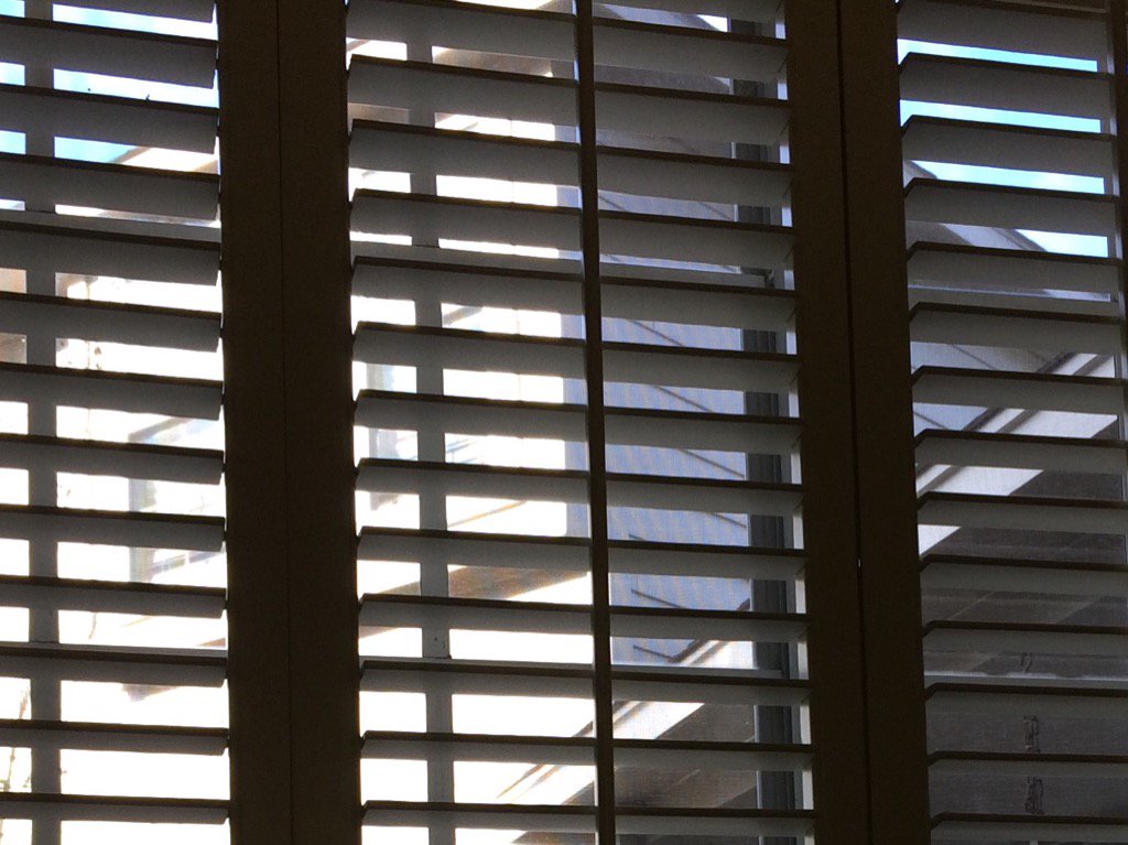
Northwest Houston, TX, during the mid-morning.
West Houston, TX, during the mid-morning.
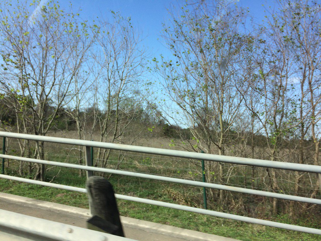
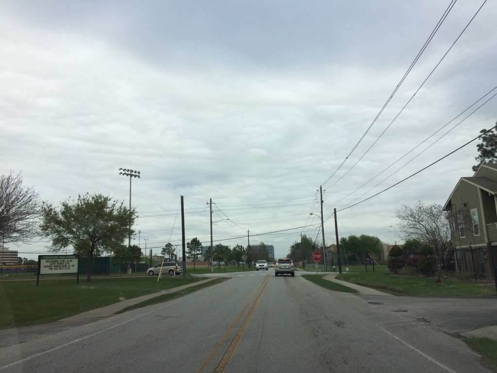
Northwest Houston, TX, during the late morning.
Northwest Houston, TX, during the early afternoon.
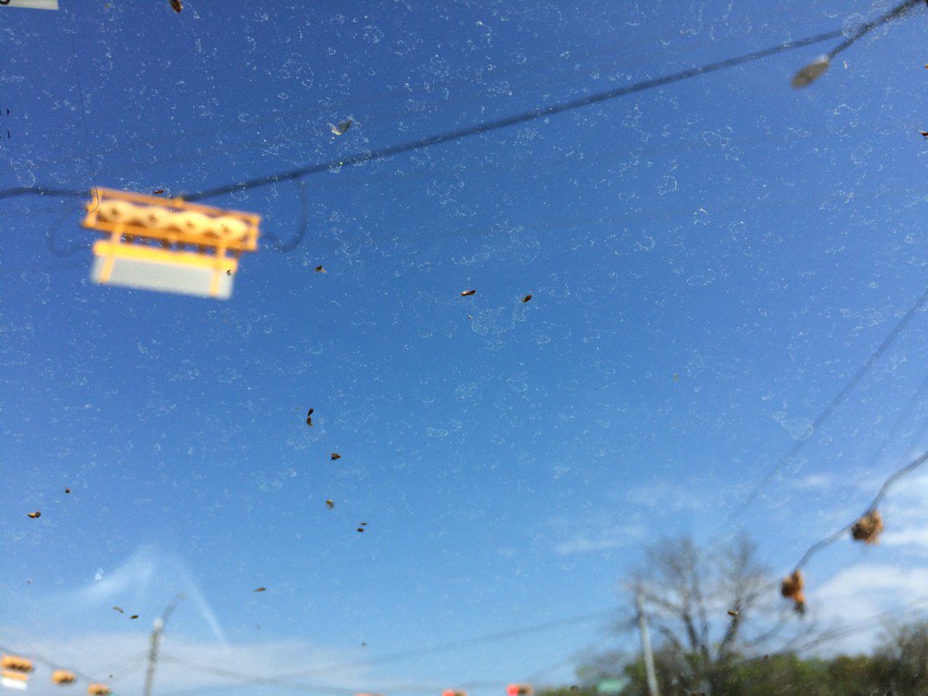
West Houston, TX, during the early afternoon.
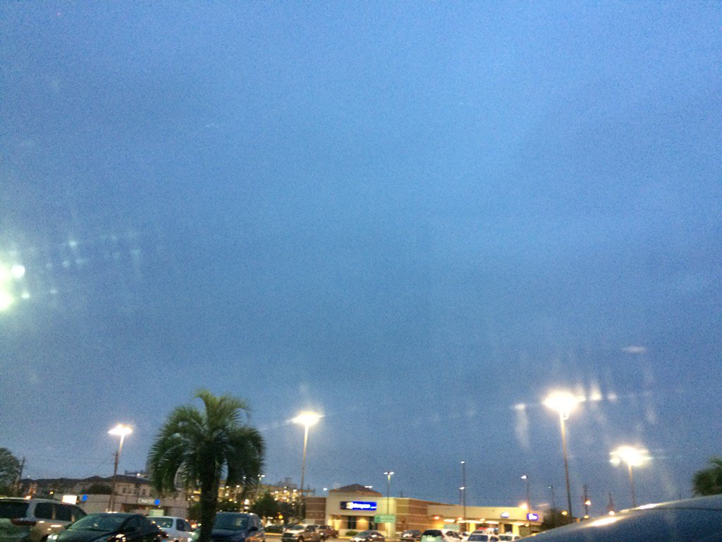
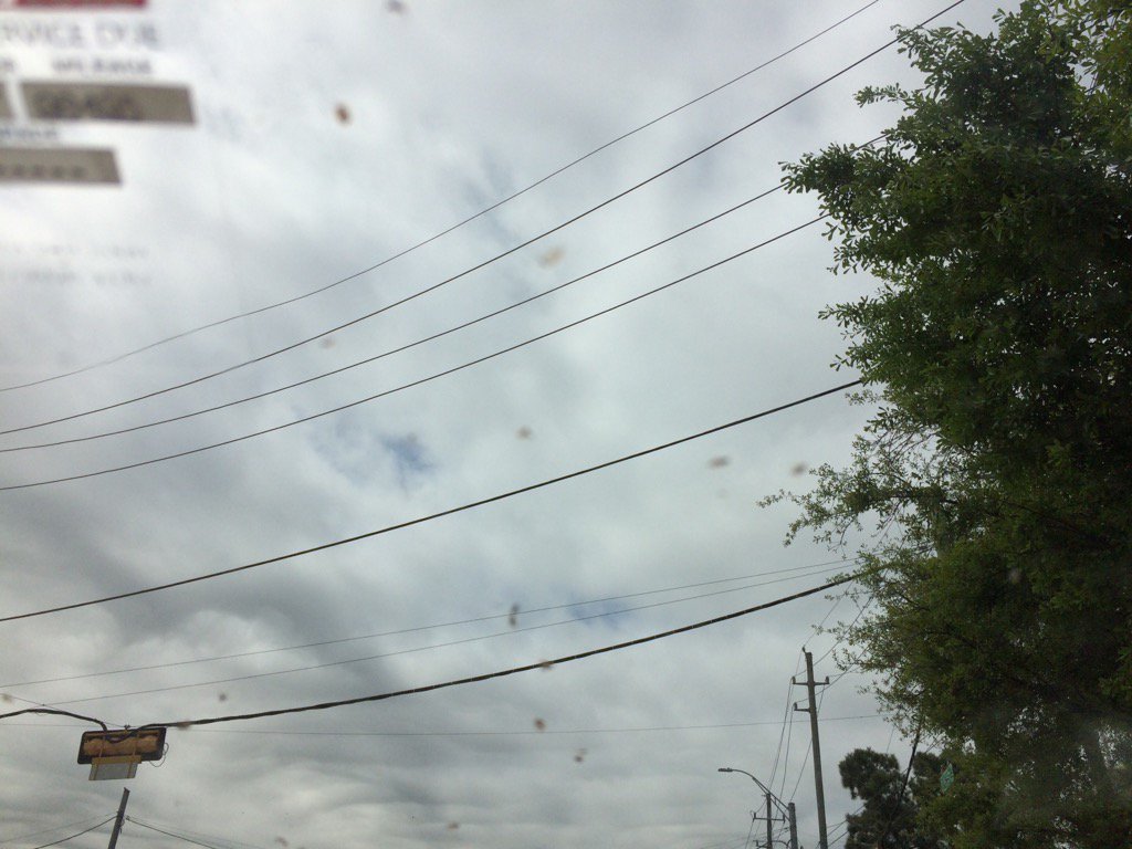
West Houston, TX, during the late evening.

The sprinkles that fell on my cars window.
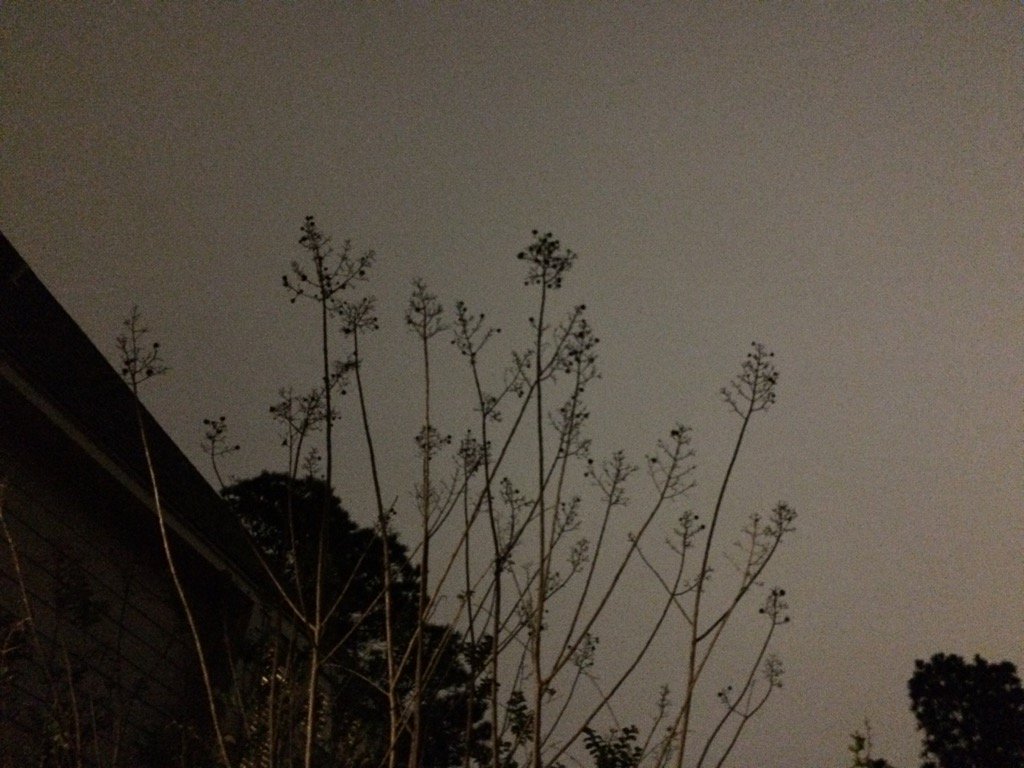
Northwest Houston, TX, during the early night.
Summary: The day started off a little cool and sunny and then became mostly cloudy and mostly warm with still some cool to a little cool breezes. There were a few showers during the afternoon and evening, in and around the Houston, TX area. A few sprinkles fell on my cars windshield, during the late evening, when I was in west Houston, TX picking up my dad from his store. There were no advisories, watches, or warnings issued for the Houston, TX area, during anytime of the day, that I know of. The wind speeds were calm to breezy with some moderate to moderately strong wind gusts, especially during the morning. The low temps for the Houston, TX area were in the 60's and the high temps were in the 70's.
Locations: Northwest and west Houston, TX.
Thoughts: It felt a little cool during the morning, but it started to feel pleasant during the afternoon.
Hazardous Weather Outlook
Hazardous Weather Outlook
National Weather Service Houston/Galveston TX
559 AM CST Wed Mar 8 2017

TXZ163-164-176>179-195>200-210>214-226-227-235>238-091200-
Austin-Brazoria-Brazos-Burleson-Chambers-Colorado-Fort Bend-
Galveston-Grimes-Harris-Houston-Jackson-Liberty-Madison-Matagorda-
Montgomery-Polk-San Jacinto-Trinity-Walker-Waller-Washington-
Wharton-
559 AM CST Wed Mar 8 2017

This hazardous weather outlook is for portions of Southeast Texas..

.DAY ONE...Today and Tonight

No hazardous weather is expected today and tonight.

.DAYS TWO THROUGH SEVEN...Thursday through Tuesday

A shortwave trough passage Friday will likely generate scattered
thunderstorms. A stronger and larger weekend Plains storm system
will increase the likelihood for more areawide storm to severe
thunderstorms. As of now...the timing for the strongest storms
would be in the vicinity of a passing cold front Saturday night or
early Sunday morning.

.SPOTTER INFORMATION STATEMENT...

Heightened spotter awareness today...late in the work week and over
the weekend for the possibility of strong to severe thunderstorm
activity.

$$
No comments:
Post a Comment