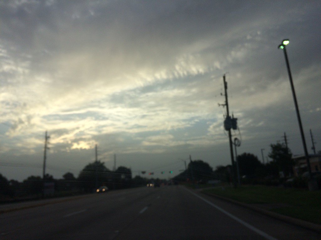
Northwest Houston, TX, during the early morning.
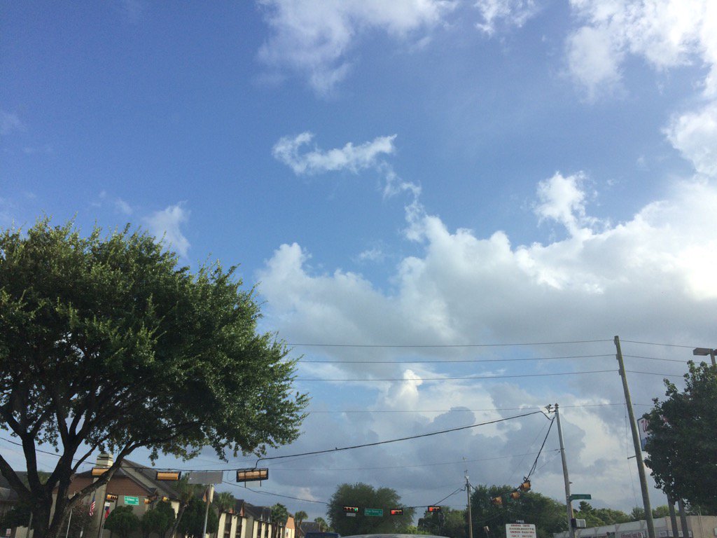
West Houston, TX, during the early evening.
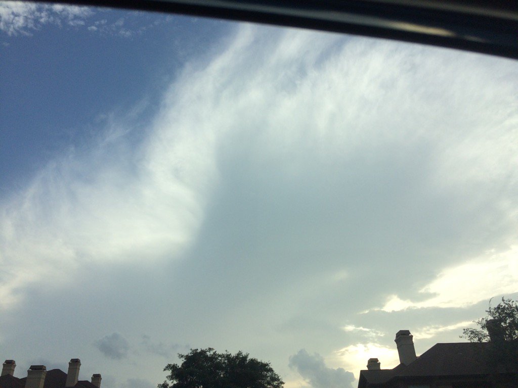
West Houston, TX, during the late evening.
Summary: The day was hot, sunny, and dry. Light to heavy isolated showers and thunderstorms looked to have popped up in and around the Houston, TX area, during the evening and night. There looked to be a few isolated light to moderate showers in and around the Houston, TX area, during the morning and afternoon. I didn't see, feel, or hear any drops. Alto stratus, stratus, and maybe some stratocumulus clouds, looked to cover most of the sky, during the early and maybe mid-morning. Alto stratus, stratus, and maybe some stratocumulus clouds, looked to be widely scattered across the sky, during the late morning, afternoon, and evening. There also looked to be some nimbus clouds in the sky, during the evening. Alto stratus clouds looked to be widely scattered across the sky, during the night. The wind speeds looked to be calm with gentle and maybe moderate to moderately strong gusts. It felt warm during the early morning and night. It felt very warm, during the mid-morning. It felt hot, during the late morning. It felt hot, almost very hot, during the afternoon. It felt very warm, during the evening. There was a Hazardous Weather Outlook issued by NOAA, for the Houston, TX area and a Special Weather Statement issued for a High Rip Current Risk issued for the Galveston, TX area, just south of Houston, TX area. There were no other watches, warnings, alerts, advisories, or weather statements/outlooks issued for the Houston, TX area, that I know of. The low temps looked to be in the 70's and the high temps looked to be in the 90's, for most of the Houston, TX area.
Storm Summary: There were no flooding, or storm damage reports that I know of.
Locations: Northwest and west Houston, TX.
Thoughts: I am not enjoying this heat wave. I hope the rain comes back soon! The is a better chance for rain, for the Houston, TX area, tomorrow and Saturday with a possible cool/cold front.
Hazardous Weather Outlook
Hazardous Weather Outlook
National Weather Service Houston/Galveston TX
318 AM CDT Tue Jul 25 2017

GMZ330-335-350-355-370-375-TXZ163-164-176>179-195>200-210>214-226-
227-235>238-261200-
Austin-Brazoria-Brazos-Burleson-Chambers-
Coastal waters from Freeport to the Matagorda Ship Channel out
20 NM-Coastal waters from High Island to Freeport out 20 NM-
Colorado-Fort Bend-Galveston-Galveston Bay-Grimes-Harris-Houston-
Jackson-Liberty-Madison-Matagorda-Matagorda Bay-Montgomery-Polk-
San Jacinto-Trinity-Walker-Waller-Washington-
Waters from Freeport to the Matagorda Ship Channel from 20 to
60 NM-Waters from High Island to Freeport from 20 to 60 NM-
Wharton-
318 AM CDT Tue Jul 25 2017

This hazardous weather outlook is for portions of Southeast Texas.

.DAY ONE...Today and Tonight

Heat index values will be on the rise today. Make sure precautions
are taken to keep people and pets safe from the heat.

.DAYS TWO THROUGH SEVEN...Wednesday through Monday

Through the end of the week and into the start of the weekend, heat
index values might have the potential to rise toward heat advisory
levels. Continue to make sure precautions are taken to keep people
and pets safe. Increasing rain chances over the weekend and into the
start of next week are expected to bring some heat relief to the area.

.SPOTTER INFORMATION STATEMENT...

Spotter activation is not expected at this time.

$$
Stay safe no matter what the weather is! We are in Phoenix now. I rather have dry heat than humidity. We are in monsoon time so lots of humidity and storms. Sticky weather. Give me 118 degrees and 3% humidity over 102 degrees and 48% humidity. Nice to see a post from you :)
ReplyDeletebetty
Hey Betty!
DeleteLOL... Well Houston is always at 100% humidity. So i'll take those odds. I have experienced dry heat before in Vegas, during July. 114 degrees felt much better than the heat in Houston, TX, during July.
: )