
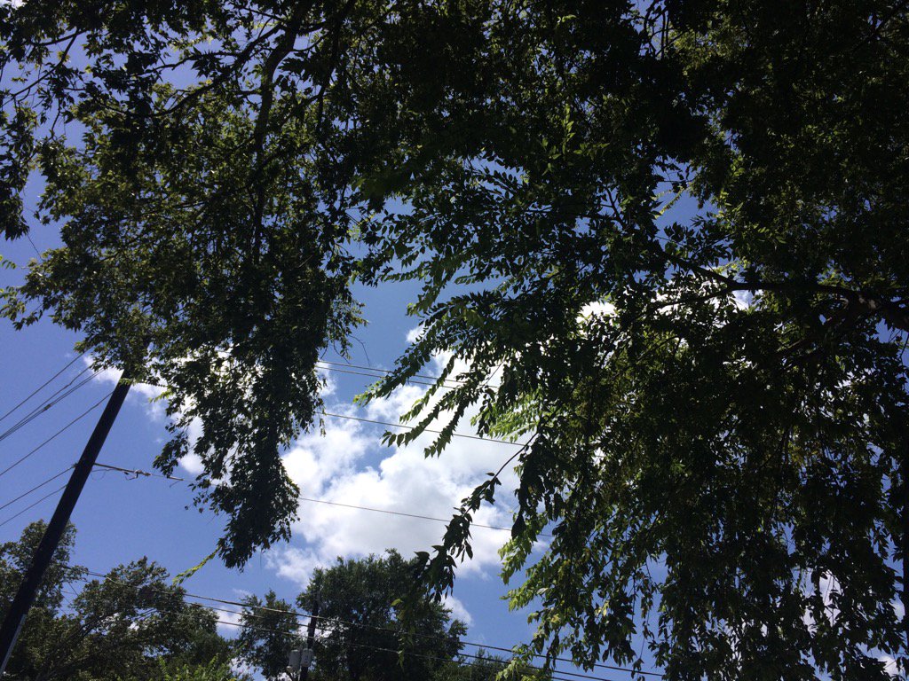
Northwest Houston, TX, during the early morning.
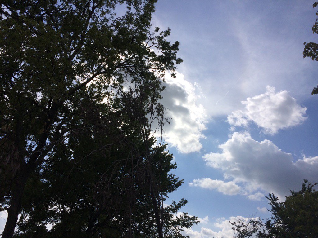
Northwest Houston, TX, during the early afternoon.
Northwest Houston, TX, during the early evening.
Summary: The day was hot, sunny, and dry. Maybe some rain. I saw some isolated light to moderate showers in southeast Houston, TX, on TWC's radar, during the early afternoon. I didn't see anymore rain after that. I didn't feel, see, or hear any rain drops. Alto stratus with stratus and maybe some stratocumulus clouds looked to cover most of the sky, during the early morning. Stratus and stratocumulus clouds looked to have become widely scattered across the sky, sometime during the late, or maybe mid-morning and lasted through the early evening. The sky looked to be becoming clear, during the late evening. The wind speeds looked to be calm with gentle to moderate gusts with some moderately strong gusts and maybe some really strong gusts. It felt warm, during the early morning. It felt very warm, during the mid-morning and night. It felt hot, during the late morning. It felt very hot, during the afternoon. It started to feel hot, during the early evening. It started to feel very warm, during the late evening. There was a Hazardous Weather Outlook issued for the Houston, TX area, by NOAA. There were no other watches, warnings, alerts, advisories, or weather statements/outlooks issued for the Houston, TX area, that I know of. The low temps looked to be in the 70's and 80's and the high temps looked to be in the 90's, for the Houston, TX area.
Storm Summary: There were no reports of flooding, or storm damages anywhere in, or near the Houston, TX area, that I know of.
Locations: Northwest Houston, TX.
Thoughts: When is it going to rain again. Almost one week since I have last seen rain. : /
rea Forecast Discussion
Issued by NWS Houston/Galveston, TX
Issued by NWS Houston/Galveston, TX
Versions: 1 2 3 4 5 6 7 8 9 10 11 12 13 14 15 16 17 18 19 20 21 22 23 24 25 26 27 28 29 30 31 32 33 34 35 36 37 38 3940 41 42 43 44 45 46 47 48 49 50
000
FXUS64 KHGX 160120
AFDHGX

Area Forecast Discussion
National Weather Service Houston/Galveston TX
820 PM CDT Tue Aug 15 2017

.AVIATION...
Isolated SHRAs along/near the coast earlier this afternoon have
all dissipated. Did keep a mention of MVFR CIGS in for the nor-
thern sites overnight tonight through early Wed morning as this
has been the trend of late. Guidance indicating a slight uptick
with PWs tomorrow morning/afternoon so no major disagreement in
keeping the mention of VCSH for sites across the southern sites
tomorrow. 41

&&

.PREV DISCUSSION... /ISSUED 321 PM CDT Tue Aug 15 2017/

Subtle differences in the atmosphere will continue to dominate
changes in the forecast for the next several days. Temperatures
and humidity will be exactly what you`d expect from Houston in
mid- August - both high. The second half of the week may see a
return of heat advisories as upper ridging builds heights over SE
Texas again, but will ultimately depend on some more difficult to
predict features that preclude a confident statement of how
necessary they will be.

NEAR TERM [Through Tonight]...

It was another warm start this morning, with a couple more potential
record warm minimums in the area hanging on temp trends through
tonight (see Climate below). The current forecast makes it likely
that those tentative records will hold thanks to the high humidity
levels. As in previous days, showers and thunderstorms have been
considerably more numerous to our east, with some bleedover into our
eastern counties. However, vertical growth of today`s cloud streets
on satellite indicate that rain chances tail off from east to west
across our portion of Southeast Texas for the rest of the afternoon.

SHORT TERM [Wednesday Through Thursday Night]...

Another warm night is expected tonight and Wednesday night.
Overnight lows will again be in the vicinity of record high values.
Rain patterns should look pretty familiar - a handful of streamer
showers early near the coast, giving way to isolated to widely
scattered showers and storms in the afternoon. The best potential
for rain, like today, is likely to be along the eastern edge of our
area of responsibility. Though the upper ridge will be trying to
build, there are indications of a very subtle upper low sneaking
across the area somewhere in this timeframe. How much this enhances
rainfall potential will be somewhat dependent on the timing and
amplitude of this low, and there`s not been a lot of real
significant run to run consistency on this. For instance, Wednesday
previously looked drier, but with only modest increases in heights
leaving a lingering weakness in the ridge and an increase in
precipitable water, it doesn`t look quite as dry now. There may be
some more small changes in thinking on this until there is more
confidence in how this transition to a stronger ridge aloft will
play out.

In the current forecast, Wednesday features maximum heat indices of
104 to 108, with isolated spots of 108-110. Thursday`s forecast is a
touch warmer, in the 104-109 range, and some localized spots
reaching 110. These grids may end up being a bit of a worst case
scenario. Am concerned that dewpoints may be able to mix out a
little more, or on the flip side, temps may not get quite as hot if
that mixing doesn`t occur. Either way, a slight shift in either way
on this sliding scale would tip the heat index calculation too far
out of balance, resulting in lower apparent temperatures. Suffice to
say, it`s going to feel hot. Whether or not it`s enough to warrant
the issuance of an advisory is less of a slam dunk.

LONG TERM [Friday Through Tuesday]...

This end of the work week into early next week will feature the
brief reign of a midlevel high, which then moves off to the west and
weakens with the approach of an upper trough. We can look for
temperatures to bounce back upwards heading into the weekend, but
then with slight cooling into early next week. Also, we should see
rain become more isolated (or even drier), with some bounce back
sometime in the back half of the weekend or early next week. As
mentioned above, while there`s been some consistency in the guidance
in showing this upper trough, there hasn`t been as much consistency
in strength or timing. As it is, the Euro keeps this trough more
constant in strength, and is a touch slower. The GFS starts out with
a stronger trough, but shears it out and makes it weaker. The
Canadian, for what it`s worth, is about half a Gulf slower than the
Euro and GFS, and considerably weaker by the time it reaches our
coastal area. That said, it still manages to generate some fairly
widespread seabreeze convection, so I`ve modestly stepped up PoPs
for early next week, but not quite to the level in the guidance, to
account for lack of confidence in the upper pattern.

As far as potential for heat advisories this weekend, much of the
same logic from the short term applies here. If the perfect balance
of temp and RH occurs, which tends to be more of the scenario
currently in the forecast, heat advisories may be needed. Tip too
far to high values in one way or the other, and the meteorology to
require it will likely limit the other too much, capping high heat
index potential.

&&

.PRELIMINARY POINT TEMPS/POPS...
College Station (CLL)      78  99  77  99  77 /  10  10  10  10  10
Houston (IAH)              80  95  80  96  79 /  10  20  10  30  10
Galveston (GLS)            84  91  84  90  84 /  10  20  10  20   0

&&

.HGX WATCHES/WARNINGS/ADVISORIES...
TX...NONE.
GM...SMALL CRAFT SHOULD EXERCISE CAUTION until 8 AM CDT Wednesday for
     the following zones: Waters from Freeport to the Matagorda
     Ship Channel from 20 to 60 NM...Waters from High Island to
     Freeport from 20 to 60 NM.

&&

$$
Hazardous Weather Outlook
Hazardous Weather Outlook
National Weather Service Houston/Galveston TX
537 AM CDT Tue Aug 15 2017

TXZ163-164-176>179-195>200-210>214-226-227-235>238-161300-
Austin-Brazoria-Brazos-Burleson-Chambers-Colorado-Fort Bend-
Galveston-Grimes-Harris-Houston-Jackson-Liberty-Madison-Matagorda-
Montgomery-Polk-San Jacinto-Trinity-Walker-Waller-Washington-
Wharton-
537 AM CDT Tue Aug 15 2017

This hazardous weather outlook is for portions of Southeast Texas..

.DAY ONE...Today and Tonight

The afternoon high temperature is expected to reach into the mid
and upper 90s over the inland areas of Southeast Texas today. The
heat indices are expected to reach as high as 103 to 107 degrees.

.DAYS TWO THROUGH SEVEN...Wednesday through Monday

Hot afternoons will persist through the upcoming weekend. The
maximum heat indices each day are expected to range from 103 to
108 degrees.

.SPOTTER INFORMATION STATEMENT...

Spotter activation will not be needed.

$$
No comments:
Post a Comment