Northwest Houston, TX, during the mid-morning.

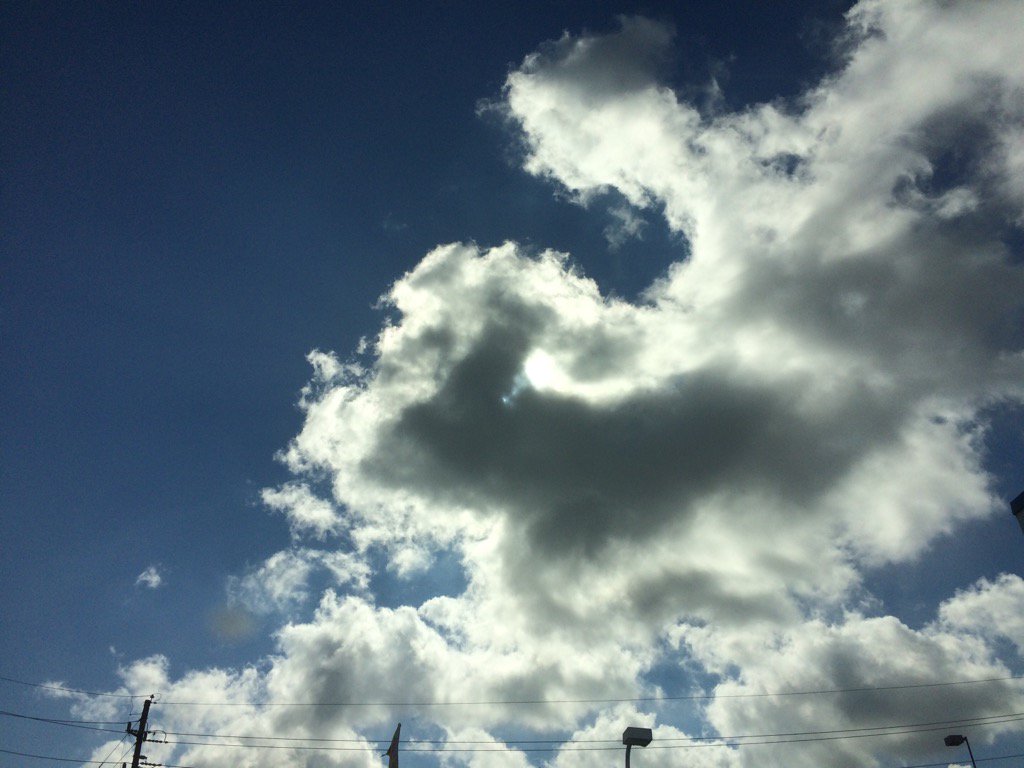
Northwest Houston, TX, during the early afternoon.
Summary: The day was hot, sunny, and dry. There looked to be some isolated light to moderately heavy showers and maybe a few thunderstorms in and around the Houston, TX area, during the morning, afternoon, evening, and maybe night. I didn't see, feel, or hear any rain drops. Stratus and stratocumulus clouds looked to be scattered across the sky, during the morning, afternoon, evening, and maybe night. The wind speeds looked to be calm with gentle to moderate gusts with some moderately strong gusts. It felt warm, during the early morning and night. It felt very warm, during the mid-morning. It started to feel hot, during the late morning. It started to feel very hot, during the early afternoon. It felt very hot, during the mid and late afternoon. It started to feel hot again, during the early evening. It started to feel warm, as the sun went down, during the late evening. There was a Special Weather Statement and a Hazardous Weather Outlook issued for the Houston, TX area, for excessive heat, by NOAA. There were no other watches, warnings, alerts, advisories, or weather statements/outlooks issued for the Houston, TX area, that I know of. The low temps looked to be in the 70's and 80's and the high temps looked to be in the 90's with maybe some 80's, for the Houston, TX area.
Storm Summary: There were no reports of flooding, or storm damage, anywhere in, or near the Houston, TX area, that I know of.
My Storm Summary: There looked to be some darker stratus and stratocumulus clouds, during the early afternoon, while I was at my house in northwest Houston, TX, but no rain fell from them. I didn't see any flooding, wet roads, or storm damage. I didn't hear any thunder, or see any lightning strikes.
Locations: Northwest Houston, TX.
Thoughts: More sunshine up ahead. Looks like Monday, or Tuesday is Houston, TX's best chance for rain.
Hazardous Weather Outlook
Hazardous Weather Outlook
National Weather Service Houston/Galveston TX
629 AM CDT Sat Aug 19 2017

TXZ163-164-176>179-195>200-210>214-226-227-235>238-201130-
Austin-Brazoria-Brazos-Burleson-Chambers-Colorado-Fort Bend-
Galveston-Grimes-Harris-Houston-Jackson-Liberty-Madison-Matagorda-
Montgomery-Polk-San Jacinto-Trinity-Walker-Waller-Washington-
Wharton-
629 AM CDT Sat Aug 19 2017

This hazardous weather outlook is for portions of Southeast Texas..

.DAY ONE...Today and Tonight

Heat index values should reach between 100 to 107 this afternoon
inland and possibly 105 to 110 along the coast with higher
humidity. Please use caution when working outside and drink
plenty of water. Seek immediate medical attention if you suspect
that you or someone else is experiencing heat illness.

.DAYS TWO THROUGH SEVEN...Sunday through Friday

Heat index values of 100 to 107 are expected Sunday. Please use
caution when working outside and drink plenty of water. Seek
immediate medical attention if you suspect that you or someone
else is experiencing heat illness.

.SPOTTER INFORMATION STATEMENT...

Spotter activation is not expected.

$$
No comments:
Post a Comment