
Northwest Houston, TX, during the late morning.

West Houston, TX, during the early afternoon.
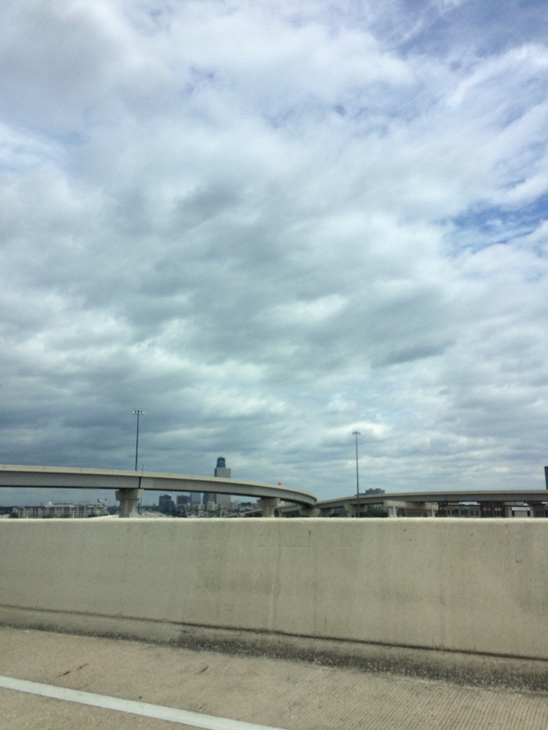
Northwest Houston, TX, during the early afternoon.

Northwest Houston, TX, during the mid-afternoon.

Northwest Houston, TX, during the late afternoon.
Summary: The day was mostly cloudy, windy, and dry. Maybe some light to moderate rain from Harvey, during the morning and afternoon in the eastern areas of Houston, TX. I didn't see, feel, or hear any rain drops! Alto stratus and stratus clouds looked to cover most of the sky, during the morning, afternoon, evening, and night. The wind speeds looked to be calm with gentle to moderate gusts with some moderately strong to really strong gusts (20 to 30 mph) with maybe some occasional 40+ mph gusts, during the morning, afternoon, and maybe evening. The wind speeds looked to be calm with maybe some gentle to moderate gusts with some possible moderately strong to really strong gusts, during the night. It felt warm, during the morning, afternoon, evening, and night. There was a Civil Emergency Message, Air Quality Alert, and many flood warnings issued for the Houston, TX area. There were no other watches, warnings, alerts, advisories, or weather statements/outlooks issued for the Houston, TX area, that I know of. The low temps looked to be in the 70's with maybe some 60's and the high temps looked to be in the 80's with maybe some 70's, for the Houston, TX area.
Storm Summary: There were still a lot of flood warnings in and around the Houston, TX area, from Harvey. Only light to moderate showers were reported on the east side of Houston, TX, during the morning and afternoon. No new storm damages, were reported. The reservoirs were still releasing water to the Houston, TX area, making flood waters rise even more than they were in some areas. Reportedly up to a foot in some areas that were already underwater.
My Storm Summary: There were still some strong 20 to 30 mph wind gusts with some possible 40+ mph wind gusts at my house in northwest Houston, TX. I didn't see, feel, or hear any rain drops. I saw some deep flowing flooded roads where I used to live in west Houston, TX and parts of northwest Houston, TX. I didn't see any storm damage. The lights on the streets of west Houston, TX and maybe some in northwest Houston, TX, were completely out. The streets were all completely dry in northwest and west Houston, TX, where there wasn't any flooding. The grass, lawns, and backyards were still soaking wet.
Locations: Northwest and west Houston, TX.
Thoughts: Well it looks like we got the last of Harvey today. No areas of Houston, TX look to be receiving any more rain bands. I am also not seeing anymore gusty winds. So it looks like Harvey and all of it's heavy rain bands are finally gone. I am concerned about next week's forecast. They are expecting some more rain to fall in the Houston, TX area, next week. With some cool weather in the 60's and 70's, sometime in the middle of next week.
Area Forecast Discussion
Issued by NWS Houston/Galveston, TX
Issued by NWS Houston/Galveston, TX
Versions: 1 2 3 4 5 6 7 8 9 10 11 12 13 14 15 16 17 18 19 20 21 22 23 24 25 26 27 28 29 30 31 32 33 34 35 36 37 38 3940 41 42 43 44 45 46 47 48 49 50
645
FXUS64 KHGX 302337
AFDHGX

Area Forecast Discussion
National Weather Service Houston/Galveston TX
637 PM CDT Wed Aug 30 2017

.AVIATION...
Harvey`s wrap around cloud cover continues to impact area terminals
with mainly BKN/OVC decks around 6000 feet. Some -RA is possible with
these clouds through around 03Z for UTS and CXO. These clouds should
erode this evening and expect VFR conditions overnight and on through
the day tomorrow. Look for NW winds this evening at inland TAF sites
to decrease to around 5 to 10 knots but remain around 10 to 15 knots
and gusty at GLS. Tomorrow`s winds should be WNW to NW around 10 to
14 knots with some gusts close to 20 knots possible.  42
&&

.PREV DISCUSSION... /ISSUED 350 PM CDT Wed Aug 30 2017/

DISCUSSION...

Today marks the first step in a journey of many, many steps back
towards normalcy in our area after the onslaught of Harvey. In the
east, some lingering rain from Harvey`s back edge remains this
afternoon. Otherwise, we have no rain, and the sun is beginning
to break through from west to east. A lack of rain is an
infinitesimal, but more than deserved prize for the large number
of dedicated first responders, dispatchers, and volunteers who
have put in so many hours of hard work under terrible conditions
to help the citizens of Southeast Texas.

After a period of drier weather into the weekend, potential for
some showers and storms will return Sunday as a vort max rotates
around the western ridge. NHC has marked an area in the Bay of
Campeche as an area to watch for potential development. Since
we`re already starting with a feature west of the Yucatan, this is
a feature that we`ll have to watch - but at this time there is no
model consensus that we should be any more or less worried than
usual for impacts to our area at this time. What does seem
apparent is that the strength and timing of an upper trough in the
northern stream will play an important role. At this time, it`s
simply something to check in on periodically, and a reminder that
even after the impact of a tropical cyclone, we need to have our
plans and supplies as ready as possible at any point in hurricane
season, just in case.

MARINE...

Winds and seas continue to decrease from west to east across the
Upper Texas Coast. Small Craft Advisories will hold on through the
evening for areas east of Freeport. Winds and seas should decrease
quickly tonight. Light to moderate west winds are expected tomorrow
with light and variable winds for the end of the week. Winds become
easterly over the weekend.

Tide levels vary from more than 7 feet up in the Houston Ship
Channel due to runoff to under a foot at Galveston North Jetty. The
northwest winds today have helped move some water out of Galveston
Bay to make room for the run off.

Overpeck

&&

.PRELIMINARY POINT TEMPS/POPS...
College Station (CLL)      71  90  70  90  70 /   0   0   0   0   0
Houston (IAH)              72  90  71  91  71 /  10   0   0  10  10
Galveston (GLS)            73  87  75  87  76 /  10   0  10  10  10

&&

.HGX WATCHES/WARNINGS/ADVISORIES...
TX...NONE.
GM...SMALL CRAFT SHOULD EXERCISE CAUTION until 11 PM CDT this evening
     for the following zones: Coastal waters from High Island to
     Freeport out 20 NM...Galveston Bay...Waters from High
     Island to Freeport from 20 to 60 NM.

&&

$$

14/40/42
Civil Emergency Message
TXC201-311630- BULLETIN - EAS ACTIVATION REQUESTED CIVIL EMERGENCY MESSAGE NORTHGATE CROSSING MUNICIPAL UTILICITY NO.1 (WATER DISTRICT) RELAYED BY NATIONAL WEATHER SERVICE HOUSTON/GALVESTON TX 1122 AM CDT WED AUG 30 2017 THE FOLLOWING MESSAGE IS TRANSMITTED AT THE REQUEST OF THE NORTHGATE CROSSING MUNICIPAL UTILICITY NO.1 (WATER DISTRICT). THE NORTHGATE CROSSING MUNICIPAL UTILITY NO. 1 (THE WATER DISTRICT) HAS ANNOUNCED THAT A MANDATORY EVACUATION FROM THE WATER DISTRICT IS NECESSARY. THIS INCLUDES THE NORTHWOOD PINES SUBDIVISION. IT IS POSSIBLE, IF CONDITIONS CONTINUE TO DETERIORATE AT THE CURRENT RATE, YOU MAY NOT BE ABLE TO LEAVE THE WATER DISTRICT AFTER 11 PM. NORTHWOOD PINES RESIDENTS SHOULD PREPARE FOR IMMEDIATE MANDATORY EVACUATION. PLEASE EXIT THE WATER DISTRICT ALONG I-45 SOUTH AND PROCEED TO SPRING HIGH SCHOOL LOCATED AT 19428 I-45, SPRING TX 77373 FOR SHELTER. TO REACH SPRING HIGH SCHOOL, EXIT CYPRESSWOOD DRIVE AND TURN LEFT. SPRING HIGH SCHOOL IS LOCATED ON THE LEFT. $$Air Quality Alert
TXZ213-237-238-010000- AIR QUALITY ALERT MESSAGE TEXAS COMMISSION ON ENVIRONMENTAL QUALITY RELAYED BY NATIONAL WEATHER SERVICE HOUSTON/GALVESTON TX 222 PM CDT Wed Aug 30 2017 ...OZONE ACTION DAY FOR THURSDAY... THE TEXAS COMMISSION ON ENVIRONMENTAL QUALITY (TCEQ)...HAS ISSUED AN OZONE ACTION DAY FOR THE HOUSTON...GALVESTON...AND BRAZORIA AREAS FOR THURSDAY...AUGUST 30TH. ATMOSPHERIC CONDITIONS ARE EXPECTED TO BE FAVORABLE FOR PRODUCING HIGH LEVELS OF OZONE POLLUTION IN THE HOUSTON...GALVESTON AND SURROUNDING AREAS ON THURSDAY. YOU CAN HELP PREVENT OZONE POLLUTION BY SHARING A RIDE...WALKING...RIDING A BICYCLE...TAKING YOUR LUNCH TO WORK...AVOIDING DRIVE THROUGH LANES...CONSERVING ENERGY AND KEEPING YOUR VEHICLE PROPERLY TUNED. FOR MORE INFORMATION ON OZONE: OZONE: THE FACTS (WWW.TCEQ.TEXAS.GOV/AIRQUALITY/MONOPS/OZONEFACTS.HTML) EPA AIR NOW: (WWW.AIRNOW.GOV/INDEX.CFM?ACTION=AIRNOW.LOCAL_CITY&CITYID=236) TAKE CARE OF TEXAS: (WWW.TAKECAREOFTEXAS.ORG/AIR/AIRQUALITY) $$There were too many flood warnings to post.
No comments:
Post a Comment