
Houston, TX radar, during the early morning.
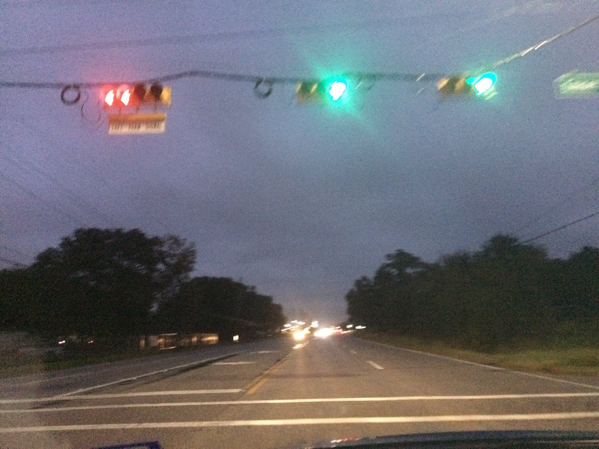
Northwest Houston, TX, during the early morning.
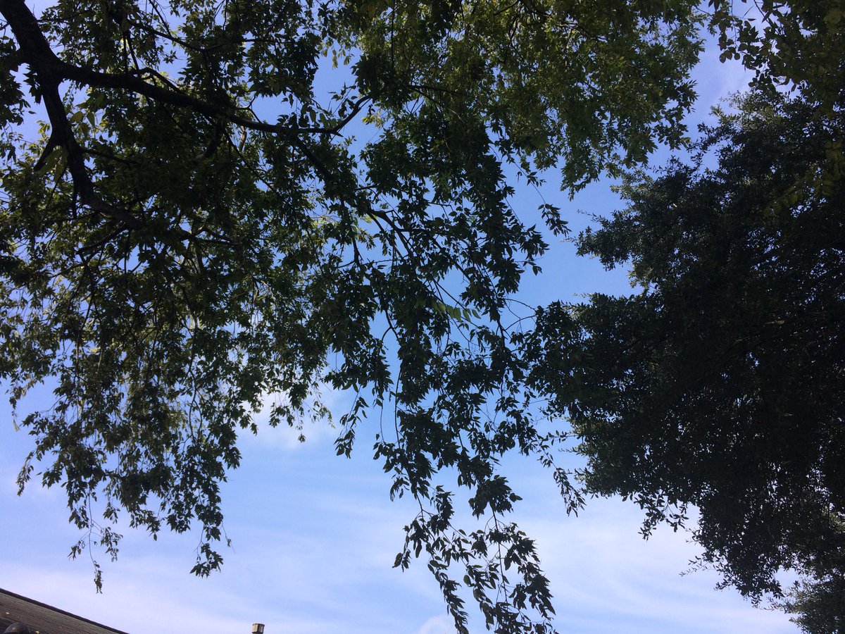
Northwest Houston, TX, during the early afternoon.
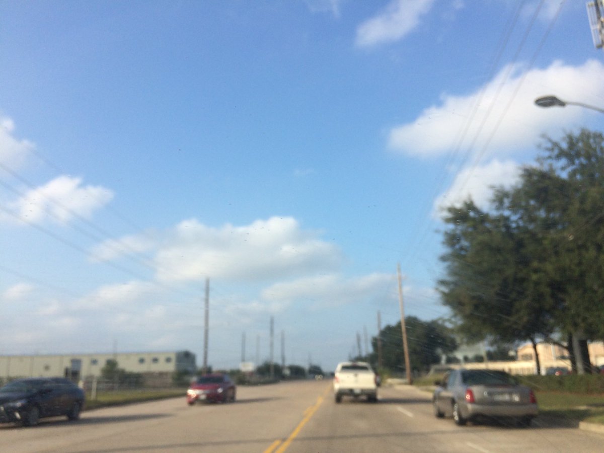
Northwest Houston, TX, during the late afternoon.
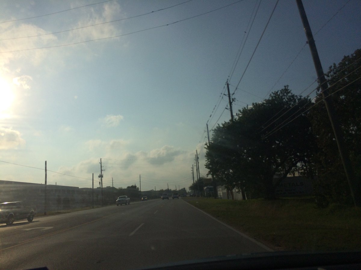
Northwest Houston, TX, during the early evening.
Summary: The day was mostly dry, warm, and mostly sunny. Clusters of moderate to moderately heavy to heavy showers and possible thunderstorms passed through most of the Houston, TX area, during the early morning, with a few areas maybe still getting some light to moderate and possibly moderately heavy to heavy showers and possible thunderstorms, during the mid and maybe late morning. The showers and possible thunderstorms looked to have passed through the Houston, TX area, during the morning, with maybe a few light to moderate showers lingering around, during the afternoon and evening. Light drizzle to light rain with some moderate and moderately heavy showers passed over my house, during the early morning. I saw some light drizzle on my way to work, from my house in northwest Houston, TX to where I work in northwest Houston, TX, during the early morning. The sky looked to be completely covered in stratus clouds, during the morning. Alto stratus and stratus clouds looked to be widely scattered across the sky, during the afternoon, evening, and maybe night. The wind speeds looked to be calm with some really strong 20 to 25 mph wind gusts, during the early morning, before sunrise. The wind speeds looked to be calm with some gentle to moderate gusts and some moderately strong gusts, during the rest of the day. It felt warm, during the morning, mid and late afternoon, evening, and night. It felt warm, with a little cool wind gusts, during the early afternoon. There was a Hazardous Weather Outlook issued for the Houston, TX area, by NOAA. There were no other watches, warnings, alerts, advisories, or weather statements/outlooks issued for the Houston, TX area, that I know of. The low temperatures looked to be in the 70's with maybe some 60's and the high temperatures looked to be in the 70's with maybe some 80's, or 80's with maybe some 70's, for the Houston, TX area.
Houston, TX Storm Summary: Clusters of moderate to moderately heavy to heavy showers and possible thunderstorms passed through most of the Houston, TX area, during the early morning, with a few areas maybe still getting some light to moderate and possibly moderately heavy to heavy showers and possible thunderstorms, during the mid and maybe late morning. The showers and possible thunderstorms looked to have passed through the Houston, TX area, during the morning, with maybe a few light to moderate showers lingering around, during the afternoon and evening. I didn't see, or hear about any reports of any flooding, or damage to anywhere in the Houston, TX area.
My Storm Summary: I saw some light drizzle on my way to work, from my house in northwest Houston, TX to where I work in northwest Houston, TX, during the early morning. The sky looked to be completely covered in stratus clouds, during the morning. I didn't see any more rain, or rain drops after that. I saw some puddles, where I work in northwest Houston, TX. I didn't see any flooding, wet roads, wet ground, lightning, or damage. The roads and ground, except for the ditches, looked to be dry.
Locations: Northwest Houston, TX.
Thoughts: Well I guess most of the rain happened on Halloween, rather than this day, like I had thought.
Hazardous Weather Outlook
Hazardous Weather Outlook
National Weather Service Houston/Galveston TX
407 AM CDT Wed Nov 1 2017

TXZ200-213-214-238-020915-
Chambers-Galveston-Harris-Liberty-
407 AM CDT Wed Nov 1 2017

This hazardous weather outlook is for portions of Southeast Texas..

.DAY ONE...Today and Tonight

Scattered showers and thunderstorms Wednesday morning across the
region should gradually shift eastward out of the area by late
afternoon. Isolated strong thunderstorms are possible in the
morning to early afternoon, mainly along and southeast of the
Highway 59 corridor. A brief tornado or damaging wind gust are
the primary threats.

.DAYS TWO THROUGH SEVEN...Thursday through Tuesday

No hazardous weather is expected at this time.

.SPOTTER INFORMATION STATEMENT...

Spotter activation will not be needed.

$$
No comments:
Post a Comment