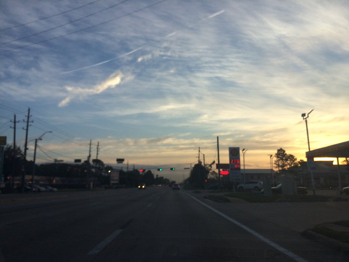
Northwest Houston, TX, during the early morning.
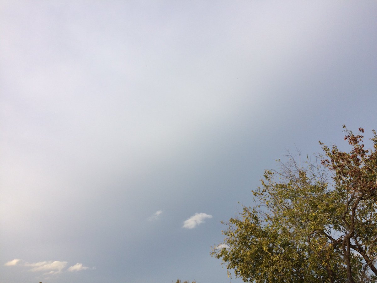
Northwest Houston, TX, during the early evening.
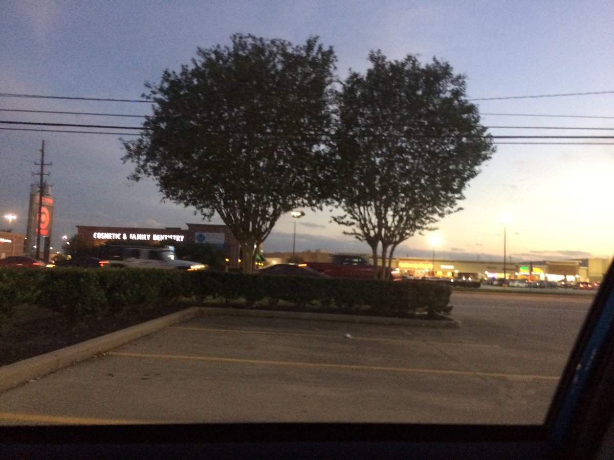
Northwest Houston, TX, during the late evening.
Summary: The day was mostly cloudy, dry, and mostly warm. Maybe some rain. I didn't see any rain on the radar, over the Houston, TX area, but I heard that there might have been some isolated showers somewhere in the Houston, TX area, during the morning and maybe evening and night. I felt some possible rain drops sometime during the early afternoon, or maybe morning and also sometime during the early evening. Alto stratus and stratus clouds looked to cover most of the sky, during the morning, afternoon, and evening. Stratus clouds looked to cover the whole sky, during the night. The wind speeds looked to be calm with maybe some gentle to moderate gusts and some moderately strong gusts. It felt very cool, during the early morning. It felt cool, during the mid-morning and late night. It felt a little cool, becoming warm, during the late morning. It felt warm, during the afternoon and evening. It felt a little cool, during the early night. There were no watches, warnings, alerts, advisories, or weather statements/outlooks issued for the Houston, TX area, that I know of. The low temperatures looked to be in the low 50's with maybe some high to mid 40's and the high temperatures looked to be in the mid to high 70's, for the Houston, TX area.
Houston, TX Storm Summary: Maybe some rain, for the Houston, TX area. I didn't see any rain on the radar, over the Houston, TX area, but I heard that there might have been some isolated showers somewhere in the Houston, TX area, during the morning and maybe evening and night. I didn't see, or hear about any reports of flooding, or storm damage to any location in the Houston, TX area, during anytime of the day.
My Storm Summary: I felt some possible rain drops sometime during the early afternoon, or maybe morning and also sometime during the early evening. There looked to be some rain producing like clouds, during the morning, afternoon, evening, and night. I didn't see any flooding, wet roads, puddles, wet ground, lightning, or damage. I didn't hear any rumbles of thunder.
Locations: Northwest Houston, TX.
Thoughts: Sorry I was feeling sick yesterday, so no written weather report there.
Area Forecast Discussion
Issued by NWS Houston/Galveston, TX
Issued by NWS Houston/Galveston, TX
Versions: 1 2 3 4 5 6 7 8 9 10 11 12 13 14 15 16 17 18 19 20 21 22 23 24 25 26 27 28 29 30 31 32 33 34 35 36 37 38 3940 41 42 43 44 45 46 47 48 49 50
000
FXUS64 KHGX 220200
AFDHGX

Area Forecast Discussion
National Weather Service Houston/Galveston TX
800 PM CST Tue Nov 21 2017

.DISCUSSION...
Model guidance continues to point at possible shower and thunderstorm
development later this evening mainly in and around the Matagorda Bay
area as an impulse and associated cold front work their way southward
across the area. Afternoon forecast package has this covered, and only
made some very minor adjustment to the grids on the evening update.

This will be our area`s last best chance of rain until the expected
approach and passage of another cold front around Tuesday or Wednesday
of next week.  42
&&

.PREV DISCUSSION... /ISSUED 545 PM CST Tue Nov 21 2017/

AVIATION...
Cold front located just north of the forecast area will come
across the region`s air fields during the early Wednesday AM
overnight hours. Ceilings will generally remain high overcast up
north...periods of BKN VFR through the mid morning hours. More
southern hubs may experience a sprinkle or a brief very light
shower with periods of ceilings dipping down into MVFR cats just
ahead of the main frontal passage. A leading pre-frontal trough
will back easterly breezes around to north before the main front
strengthens northerly winds during the day Wednesday. The main
front is forecast to be through CLL by midnight...off the coast
around sunrise. Clearing skies through late morning...weakening
northerlies past sunset tomorrow. 31

PREV DISCUSSION... /ISSUED 316 PM CST Tue Nov 21 2017/

DISCUSSION...
Low level flow has become more southwesterly thru the day and the axis
of deeper moisture continues to shift east of the CWA. That being said,
have left some lowish POPs in the grids ahead of the next cool front
and upper trof that`ll be moving thru overnight. Winds at the surface
will back to the northeast ahead of the front itself, and with the
exception of areas closer to Matagorda Bay, limit llvl convergence
and overall substantial rain chances. Cooler and breezy conditions
will arrive overnight, and the next shift(s) may need to keep an
eye on speeds closest to the coast where some guidance suggests
values nearing wind advisory criteria toward sunrise. Look for cloud
cover to diminish during the morning hours Wed, with sunny conditions
prevailing areawide for most of the afternoon.

The remainder of the forecast also looks dry. Mid/upper ridge centered
near Baja will expand north and east, putting us in a deep northerly
flow aloft. The Gulf should remain mostly cutoff from return flow
(expect for a brief 24 hour period ahead of the next reinforcing
front arriving late Sat). Extended grids were generally left as-is
and agree w/ the previous forecaster that daytime highs in the
early part of the weekend will probably be warmer than the blends
indicate. 47

MARINE...
Winds will pick up overnight tonight with the passage of a cold
front through the bays and gulf waters. Small Craft Advisories will
persist over all marine waters from around midnight through midday
Wednesday and may linger over the offshore waters into the mid
afternoon on Wednesday. Highest wind gusts up to near 40 knots are
possible from 20 to 60 nm offshore late tonight into Tuesday
morning.

Winds will then quickly diminish late Tuesday into Wednesday as a
surface high pressure area builds into the Upper Texas coast.
Onshore winds should return by Friday night and Saturday. Another
cold front is expected to move off of the coast later in the
weekend.

FIRE WEATHER...
A dry airmass will settle over Southeast Texas on Thursday and
Friday following the passage of a cold front late tonight or early
Wednesday. Drier conditions are expected on Wednesday, but the
minimum relative humidity values will only drop into the 35 to 40
percent range generally west of the US-59/I-69 corridor. However,
slightly elevated fire weather conditions will occur on Wednesday as
the winds could be 10 to 15 mph over the central and southwestern
areas. The problem on Wednesday will be the highest winds not
syncing up with the driest period. Elevated fire weather conditions
are possible both Thursday and Friday but mainly due to the minimum
relative humidity values falling into the 25 to around 30 percent
range. Winds should stay light and well under 10 mph for the most
part. Northern areas between Brenham, College Station, Madisonville,
and Crockett could see afternoon wind speeds approach 10 mph.

Onshore winds will help alleviate conditions over most of the
weekend for most of the area. Still, relative humidity values will
probably fall into the 35 to 40 percent range across the northern
and far western counties both days. &&

.PRELIMINARY POINT TEMPS/POPS...
College Station (CLL)      51  61  36  65  44 /  20   0   0   0   0
Houston (IAH)              56  65  40  65  43 /  20   0   0   0   0
Galveston (GLS)            60  67  49  64  52 /  20   0   0   0   0

&&

.HGX WATCHES/WARNINGS/ADVISORIES...
TX...NONE.
GM...Small Craft Advisory from 11 PM this evening to noon CST
     Wednesday for the following zones: Coastal waters from
     Freeport to the Matagorda Ship Channel out 20 NM...Coastal
     waters from High Island to Freeport out 20 NM...Galveston
     Bay...Matagorda Bay.

     Small Craft Advisory from 11 PM this evening to 3 PM CST
     Wednesday for the following zones: Waters from Freeport to
     the Matagorda Ship Channel from 20 to 60 NM...Waters from
     High Island to Freeport from 20 to 60 NM.

&&

$$

42/31
No comments:
Post a Comment