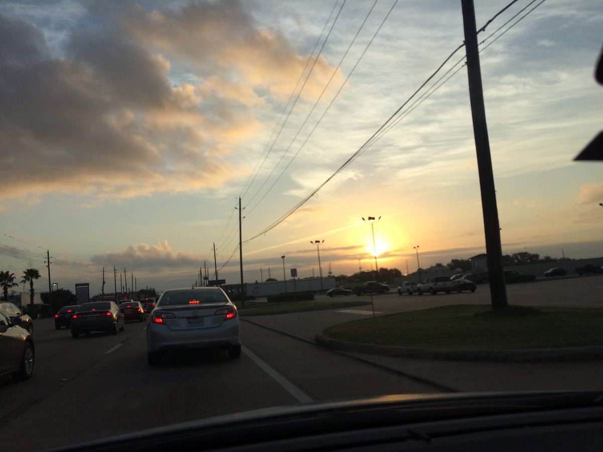
Northwest Houston, TX, during the early morning.
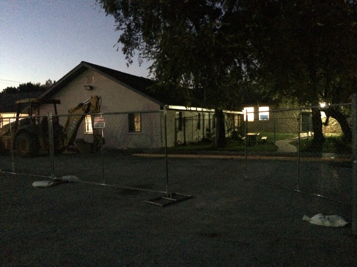
Northwest Houston, TX, during the early night.
Summary: The day was sunny, hot, and dry. No rain for the Houston, TX area, that I know of. I didn't see any rain on the radar, over the Houston, TX area, during anytime of the day. I didn't see, feel, or hear any rain drops. Cirro and alto stratus with mostly stratus clouds looked to cover most of the sky, during the early morning and maybe nid and late morning. Only a few alto stratus clouds with maybe some stratus clouds, looked to be scattered across the sky, during the afternoon and evening. The sky looked to be clear, during the night. The wind speeds looked to be calm with gentle to moderate gusts and some moderately strong gusts with some occasional really strong 20 mph gusts. It felt warm, during the morning and late night. It started to feel hot, during the early afternoon. It felt hot, during the mid and late afternoon and early evening. It felt very warm, during the late evening and early night. There were no watches, warnings, alerts, advisories, or weather statements/outlooks issued for the Houston, TX area, that I know of. The low temperatures looked to be in the low 70's and the high temperatures looked to be in the high 80's, for the Houston, TX area.
Houston, TX Storm Summary: No rain, for the Houston, TX area, that I know of. I didn't see any rain on the radar, over the Houston, TX area, during anytime of the day. I didn't see, or hear about any reports of flooding, or damage to any area of Houston, TX, during anytime of the day.
My Storm Summary: I didn't see, feel, or hear any rain drops. I didn't see any rain producing, or storm like clouds, flooding, wet roads, puddles, wet ground, lightning, or damage. I didn't hear any rumbles of thunder.
Locations: Northwest Houston, TX.
Thoughts: It looks like it was another hot November day for the Houston, TX area, with some record high temps broken.
Area Forecast Discussion
Issued by NWS Houston/Galveston, TX
Issued by NWS Houston/Galveston, TX
Versions: 1 2 3 4 5 6 7 8 9 10 11 12 13 14 15 16 17 18 19 20 21 22 23 24 25 26 27 28 29 30 31 32 33 34 35 36 37 38 3940 41 42 43 44 45 46 47 48 49 50
000
FXUS64 KHGX 070524
AFDHGX

Area Forecast Discussion
National Weather Service Houston/Galveston TX
1124 PM CST Mon Nov 6 2017

.AVIATION...
As expected, MVFR cigs are developing across the CWA and 1500 foot
ceilings will likely prevail at most TAF sites through early
Tuesday. Some brief IFR cigs possible but the prevailing cigs
should remain MVFR. Light south winds will veer to the SW Tuesday
morning. A cold front over N TX will push south during the day and
the latest short term guidance is bringing the front through a bit
faster than previous runs. Will bring a wind shift to the north
into KCLL between 21-23z and through the Houston terminals between
01-03z. Fcst soundings show some potential for showers along and
ahead of the front with PW values near 1.70 and K index values
near 30. Strong capping will inhibit thunder but could get a few
showers along the front. Patchy drizzle or very light rain will be
possible in the wake of the front Tuesday night. 43

&&

.PREV DISCUSSION... /ISSUED 900 PM CST Mon Nov 6 2017/

UPDATE...
Current forecast appears on track. Updated hourly temperatures
and dew points as well as sky grids based on observational trends.
Expect low clouds to develop again overnight, keeping low
temperatures in the lower 70s.

Huffman

PREV DISCUSSION... /ISSUED 339 PM CST Mon Nov 6 2017/

NEAR TERM [Through Tonight]...
3PM Temperatures - Houston IAH at 88F, Houston HOU at 87F, College
Station at 86F and Galveston at 81F. Houston HOU reached 88F
already and Galveston has been up to 83F. These all break/tie
records except for College Station which still needs to reach 88F.

Surface analysis shows cold front over N Texas this afternoon and
this front will be getting a stronger push southward on Tuesday.
Aloft SE Texas is still under the influence of an upper level
ridge with mainly zonal flow across much of the U.S. Water vapor
imagery and 500mb analysis also show an upper level trough over
the Inter-mountain west and another trough in the Pacific west of
California.

Overall tonight expect a repeat of last night and this morning
with patchy fog possible and low temperatures close to climo high
temperatures for early November. In fact there should be some
record high minimum temperatures set along with record high
temperatures.

SHORT TERM [Tuesday Through Wednesday Night]...
Tuesday the cold front should approach the area but likely not
affect high temperatures. Boundary layer flow should still be from
the SW and with 850mb temperatures still around 18-20C, high
temperatures will be back in range of the upper 80s and set/tie
record high temperatures for tomorrow again.

Cold front does reach the coast around 09-12Z Wednesday based on
NAM and high res mesoscale models. Synoptic models like
GFS/ECMWF/Canadian are a few hours within that timing. There may
be a weak line of showers with the front but atmosphere should be
capped limiting thunderstorm activity. By 12Z Wednesday the main
upper level trough should be moving across the Rockies coming in
phase with the trough currently in the Pacific. This system should
reach Texas around 00Z Thursday. This large scale ascent combined
with divergence in the right rear entrance to the Polar Jet and
frontogenesis at 850mb will support a broad area of rainfall
mainly from College Station to Huntsville northward. Forecast has
higher rain chances (50%-70%) focused along this forcing and quite
possible that there may even be some elevated thunderstorms
within these bands of rain. South of Huntsville there still may be
some widely scattered showers so will keep slightly lower rain
chances (30%). Rainfall amounts will be on the low side for most
of the area but areas north of College Station to Huntsville could
get a good 0.5-1" of rain.

Wednesday night into Thursday the rain chances should be
decreasing as the trough axis moves across the area. Models do
disagree with the timing of when the trough axis pushes through.
As a result, there are some lingering rain chances in the forecast
through Thursday morning. Rain chances clear out for Thursday.

Forecast models are depicting a colder airmass behind the front
for Wednesday and Thursday. Forecast temperatures were decreased
to account for this cooling. It will be quite possible that some
areas may stay in the 50s/60s for much of the day. With the trough
axis slow to push out, cloud cover will linger and limit heating.

LONG TERM [Thursday Through Monday]...
Temperatures Thursday through maybe Saturday will be back down to
climatological normals or just a touch higher. So let that
marinade for a moment. Temperatures behind the cold front
Wednesday will only drop temperatures to near normal for this time
of year. That tells you how much above normal temperatures have
been before the front.

Through the weekend the upper level pattern remains more zonal
than amplified. The pesky upper level ridge remains over Mexico
Saturday and Sunday. The GFS and Canadian try to bring another
front into the area Saturday night. The ECMWF brings it through 24
hours later Sunday night into Monday. The upper level ridge does
try to build back over Texas during this time so there is some
doubt as to the front pushing through especially with a
predominantly zonal flow pattern.

Overpeck

MARINE...
Onshore winds continue through tomorrow evening. Look for those
winds to be generally light to moderate, but will at least flirt
with SCEC thresholds tonight, particularly for waters off the lower
coast. The next cold front pushes off the coast Wednesday morning,
with strengthening north to northeast winds and building seas in its
wake. SCEC conditions should be seen Wednesday night into Thursday,
and a small craft advisory in the offshore waters may be needed.
Winds will diminish modestly late in the week, gradually becoming
easterly by the weekend.

Luchs

&&

.PRELIMINARY POINT TEMPS/POPS...
College Station (CLL)      70  87  55  61  46 /  10  10  30  60  50
Houston (IAH)              72  87  63  69  52 /  10  10  30  30  30
Galveston (GLS)            74  84  69  75  58 /  10  10  20  30  30

&&

.HGX WATCHES/WARNINGS/ADVISORIES...
TX...NONE.
GM...NONE.
&&

$$

Discussion...14
Aviation/Marine...43
No comments:
Post a Comment