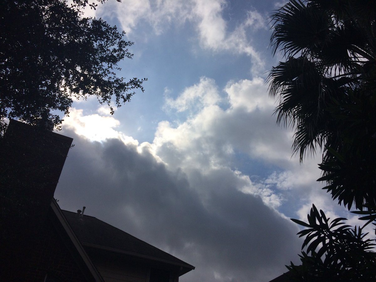
Northwest Houston, TX, during the mid-morning.
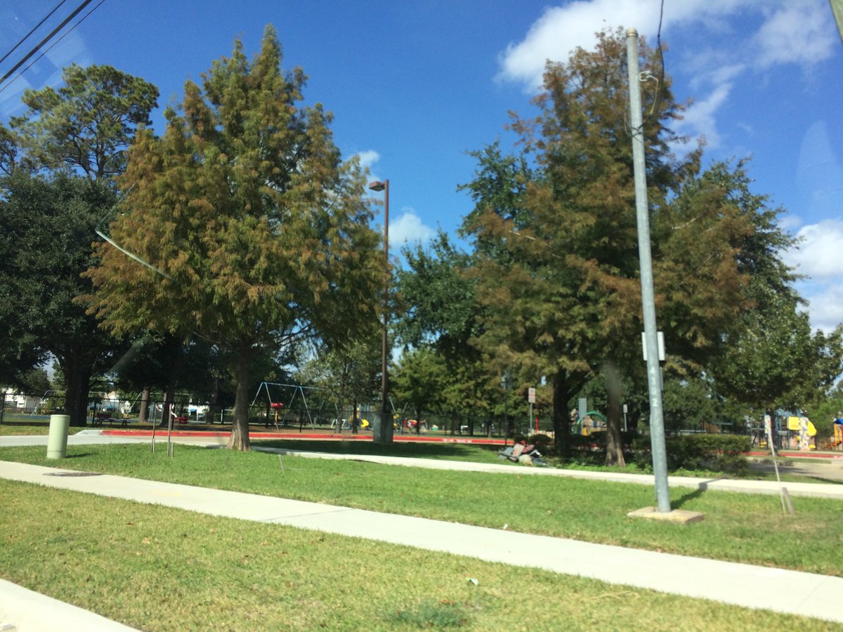
West Houston, TX, during the late morning.
Summary: The day was hot, sunny, and dry. Mostly no rain for the Houston, TX area. I only saw a few light showers in and near southeast Houston, TX, sometime during the early, or maybe early morning, on the radar. There also might have been some fog in some of the Houston, TX areas, during the early and mid-morning. I didn't see, feel, or hear any rain drops. Alto stratus and stratus clouds looked to be scattered across the sky, during the early and late morning, afternoon, and evening. Stratus clouds looked to cover the whole sky, for a brief moment during the mid-morning. The sky looked to be clear, during the night. The wind speeds looked to be calm with gentle to moderate gusts and moderately strong to really strong 20 mph gusts. It felt warm, during the early and mid-morning, evening, and night. It felt very warm, during the late morning and late afternoon. It felt hot, during the early and mid-morning. There were no watches, warnings, alerts, advisories, or weather statements/outlooks issued for the Houston, TX area, that I know of. The low temperatures were in the low 70's and the high temperatures were in the high 80's, for the Houston, TX area.
Houston, TX Storm Summary: Mostly no rain for the Houston, TX area. I only saw a few light showers in and near southeast Houston, TX, sometime during the early, or maybe early morning, on the radar. There also might have been some fog in some of the Houston, TX areas, during the early and mid-morning. I didn't see, or hear about any reports of flooding, or damage to any of the Houston, TX areas, during anytime of the day.
My Storm Summary: I didn't see, feel, or hear any rain drops. There looked to be some rain producing like clouds, at my house in northwest Houston, TX, during the mid-morning. I didn't see any flooding, wet roads, puddles, wet ground, lightning, or damage. I didn't hear any rumbles of thunder.
Locations: Northwest and west Houston, TX.
Thoughts: Well there were some record highs broken today! I wish it was warm enough for me to swim in the pool, but the water was still very cool from the previous weeks cool weather.
Area Forecast Discussion
Issued by NWS Houston/Galveston, TX
Issued by NWS Houston/Galveston, TX
Versions: 1 2 3 4 5 6 7 8 9 10 11 12 13 14 15 16 17 18 19 20 21 22 23 24 25 26 27 28 29 30 31 32 33 34 35 36 37 38 3940 41 42 43 44 45 46 47 48 49 50
721
FXUS64 KHGX 060324
AFDHGX

Area Forecast Discussion
National Weather Service Houston/Galveston TX
924 PM CST Sun Nov 5 2017

.UPDATE...
Minimal changes made to the ongoing forecast, with main updates to
adjust sky cover, hourly temperatures, and dew points based on
observational trends. GOES-16 satellite imagery shows patches of
low clouds developing across extreme eastern Texas and west of the
Brazos River with additional development expected through the
remainder of the evening hours. Have added a mention of patchy fog
as well outside of the Houston metro for the early to mid-morning
hours. Expect development to be mainly relegated to rural
sheltered or low-lying areas as elevated near surface winds and
drier low level air being advected in from the southwest will
limit more widespread development. Otherwise, expect lows in the
lower 70s under partly to mostly cloudy skies.

For the marine forecast... planning to issue a Small Craft Should
Exercise caution statement for elevated winds across the offshore
waters.

Huffman

&&

.PREV DISCUSSION... /ISSUED 517 PM CST Sun Nov 5 2017/

AVIATION...
Persistence seems the way to go as little change in the air mass
is expected. Low level moisture beneath a strong capping inversion
will allow MVFR cigs to redevelop between 06-08z and mix out
between 15-18z. There will be a brief window of IFR cigs around
sunrise. Could be some patchy ground fog at times but winds never
dully decouple so am leaning more toward low end MVFR cigs. 43

PREV DISCUSSION... /ISSUED 250 PM CST Sun Nov 5 2017/

DISCUSSION...

Plenty of sun out there this afternoon which has allowed temps inland
to warm into the mid/upper 80s. Have already seen a record max temp
of 89 at HOU. Expect similar temps again tomorrow with little
changing over the next 24 hours.

Model guidance is in good agreement that change is on the way with
a cold front expected to move into nw portions of the area on Tuesday
night with the boundary pushing to the coast by Wednesday afternoon.
Expect scattered showers across the area in the vicinity of the front
and also behind the front on Wednesday night. The best chance of rain
will be across the northern half of southeast Texas. Expect showers as
opposed to thunderstorms due to a significant warm/dry layer
above the surface centered around 700 mb.

You know you are in a warm pattern when cold fronts only bring you
back to near climate normals for November, and this will be case with
this front. By Sunday, expect temperatures to climb back above normal
as the northern periphery of the strong mid/upper level ridge builds back
into the area after being briefly shunted to the southwest. 33

MARINE...
Light to moderate onshore flow continues today and will persist
until the next cold front on Wednesday. Behind the front, look for
increasing north to northeast winds and building seas. Caution flags
will likely be required Wednesday night, and a small craft
advisory cannot be ruled out at this time. Luchs

&&

.PRELIMINARY POINT TEMPS/POPS...
College Station (CLL)      71  87  70  85  58 /  10  10  10  10  30
Houston (IAH)              72  88  72  87  66 /  10  10  10  10  20
Galveston (GLS)            74  84  74  84  71 /  10  10  10  10  10

&&

.HGX WATCHES/WARNINGS/ADVISORIES...
TX...NONE.
GM...NONE.
&&

$$

Discussion...14
No comments:
Post a Comment