Northwest Houston, TX, during the early morning.
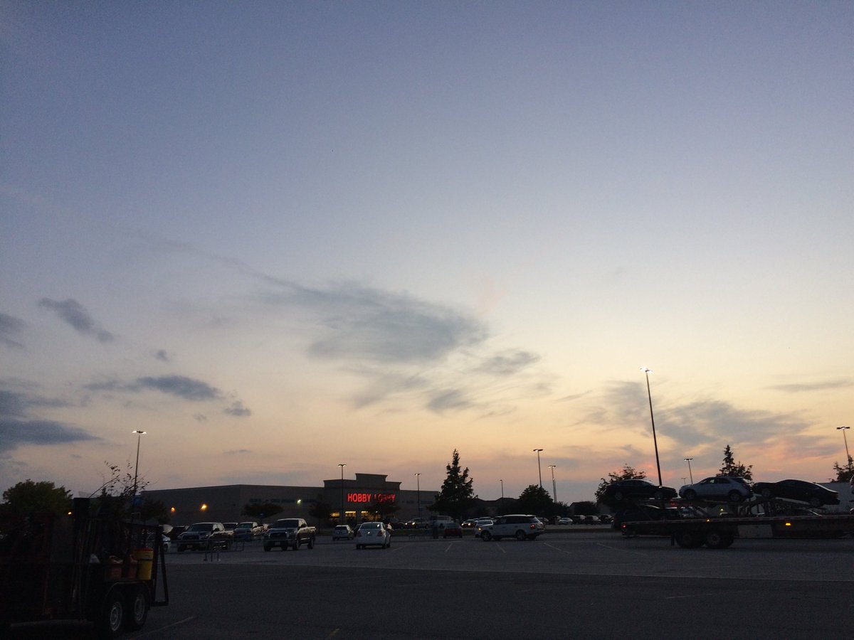
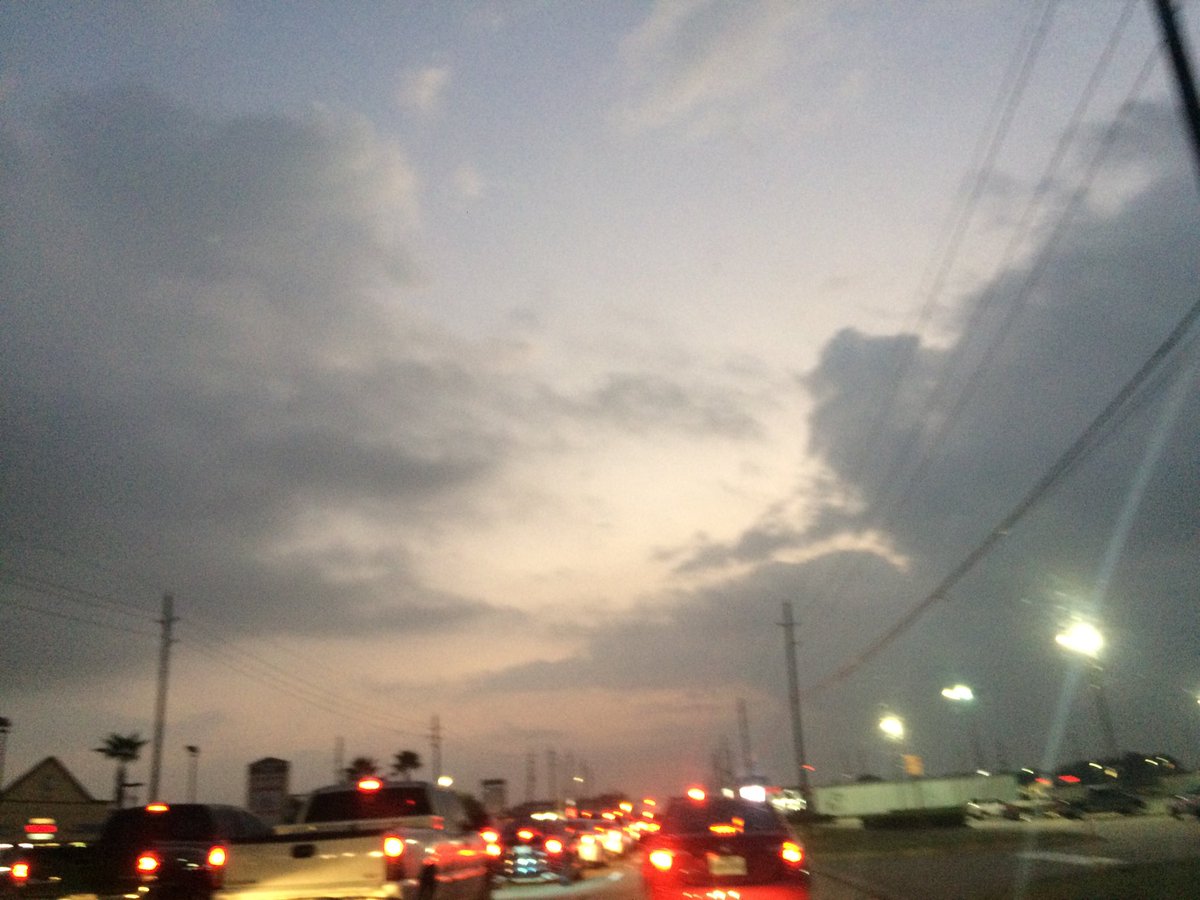
Northwest Houston, TX, during the late evening.
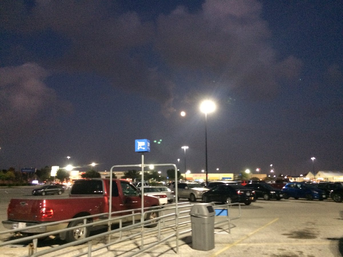
Northwest Houston, TX, during the early night.
Summary: The day was mostly cloudy, sunny, and dry. No rain. I didn't see any rain on the radar, over the Houston, TX area, during anytime of the day. I didn't see, feel, or hear any rain drops. Alto stratus and stratus clouds looked to be widely scattered across the sky, during the morning, afternoon, evening, and night. The wind speeds looked to be calm with gentle to moderate gusts and moderately strong to really strong 20 mph gusts. It felt warm, during the morning, evening, and night. It felt warm, almost very warm, during the afternoon. There were no watches, warnings, alerts, advisories, or weather statements/outlooks issued for the Houston, TX area, that I know of. The low temperatures looked to be in the 70's and the high temperatures looked to be in the 80's, for the Houston, TX area.
Houston, TX Storm Summary: No rain. I didn't see any rain on the radar, over the Houston, TX area, during anytime of the day. There may have been a stray light shower near the coast, near southeast Houston, TX. There was a 20% chance for rain, during the morning. I didn't see, or hear about any reports of any flooding, or storm damage.
My Storm Summary: I didn't see, feel, or hear any rain drops. There looked to be some rain producing like clouds, during the early morning, on my way to work in northwest Houston, TX. I didn't see any flooding, wet road, puddles, wet ground, lightning, or damage. There was still some water blocked in the ditch outside of the animal hospital that I work at in northwest Houston, TX. I didn't hear any rumbles of thunder.
Locations: Northwest Houston, TX.
Thoughts: It has been feeling really warm lately. I am thinking about maybe taking a dip in the pool. But I don't know. maybe not.
Area Forecast Discussion
Issued by NWS Houston/Galveston, TX
Issued by NWS Houston/Galveston, TX
Versions: 1 2 3 4 5 6 7 8 9 10 11 12 13 14 15 16 17 18 19 20 21 22 23 24 25 26 27 28 29 30 31 32 33 34 35 36 37 38 3940 41 42 43 44 45 46 47 48 49 50
000
FXUS64 KHGX 030304
AFDHGX

Area Forecast Discussion
National Weather Service Houston/Galveston TX
1004 PM CDT Thu Nov 2 2017

.UPDATE...
Minor tweaks to both temps and dew points tonight, to account for
trends in observations. Overnight low temperatures should fall into
the low 70s across SE TX. Patchy fog will also be a possibility
across much of the region based off short term guidance visibility
probabilities, and higher dew points specifically along the coast.
These misty conditions may result in an occasional drizzle in the
early morning hours starting around 09Z, as indicated in the HRRR
short term guidance. Coverage becomes more isolated across SE TX
by the late morning hours, and therefore still holding on to a 20%
PoP over much of the forecast area for Friday. Removed isolated
thunderstorms from the forecast for the late morning hours based
on the forecast soundings which show a decent cap around 850 mb.

Hathaway

&&

.PREV DISCUSSION... /ISSUED 646 PM CDT Thu Nov 2 2017/

AVIATION...
VFR conditions are expected to transition to MVFR by 06-09Z
overnight with CLL/UTS/CXO experiencing drops to IFR. Expect MVFR
ceilings to persist through the morning, lifting above FL030 after
18Z. Patchy MVFR fog will be possible again overnight outside of
the Houston terminals with deep moisture along the coast resulting
in MVFR visibility reductions at Galveston from haze/mist.
Isolated showers will be possible mid to late morning through the
afternoon hours near the terminals but anticipated coverage is too
low to mention in the TAF attm. Southerly winds 10 knots or less
are expected through the period.

Huffman

PREV DISCUSSION... /ISSUED 313 PM CDT Thu Nov 2 2017/

DISCUSSION...
An upper level high pressure area over northern Mexico will keep
a southwesterly flow pattern in the mid and upper levels over
Southeast Texas through the weekend and very warm temperatures
for this time of the year are expected.

For the late night and early morning periods over at least the
next couple of days, patchy fog could form. Isolated rain chances
are possible on Friday as an upper level shortwave trough moves
across the Southern Plains. Even these isolated rain chances will
diminish to just the far southeastern areas on Saturday and to
below 20 percent on Sunday through Tuesday.

There is the possibility of cooler temperatures and better chances
of rain by the middle of next week. This will depend upon how far
south a cold front moves from the Red River Valley. The GFS keeps
the front mainly north of the forecast area while the ECMWF pushes
the front through to the coast during the day on Wednesday. Given
the westerly upper flow pattern at that time, the front may only
briefly move that far south before pushing back inland.

40

MARINE...
High pressure over the eastern United States and lower pressure over
West Texas and the Plains will maintain a moderate southerly flow
until the middle of next week. 33

CLIMATE...
Temperatures could possibly reach to near the record highs over
the next few days. The following table lists the record high
temperatures for the major climate sites in the NWS
Houston/Galveston forecast area:

           Houston      Hobby Arpt     Galveston     College Stn
Date       Rec/Date      Rec/Date      Rec/Date       Rec/Date

Nov 3rd     88/2016       90/1973       85/1886        88/1948
Nov 4th     89/1988       88/1988       85/1988        90/1948
Nov 5th     88/1963       87/2005       83/1886        92/1891
Nov 6th     88/1963       88/1963       83/2005        88/1931

40

&&

.PRELIMINARY POINT TEMPS/POPS...
College Station (CLL)      70  85  69  85  68 /  10  20  10  10  10
Houston (IAH)              72  85  70  85  71 /  10  20  10  10  10
Galveston (GLS)            75  81  73  82  73 /  10  20  10  10  10

&&

.HGX WATCHES/WARNINGS/ADVISORIES...
TX...NONE.
GM...NONE.
&&

$$

Update...08
No comments:
Post a Comment