
Eldridge and West Little York. On way to work during the early morning.

Whataburger in the Heights area, during the early afternoon.

Where I work in the Heights area, during the late evening.

On I-10 in the Heights area, leaving work, during the late evening.
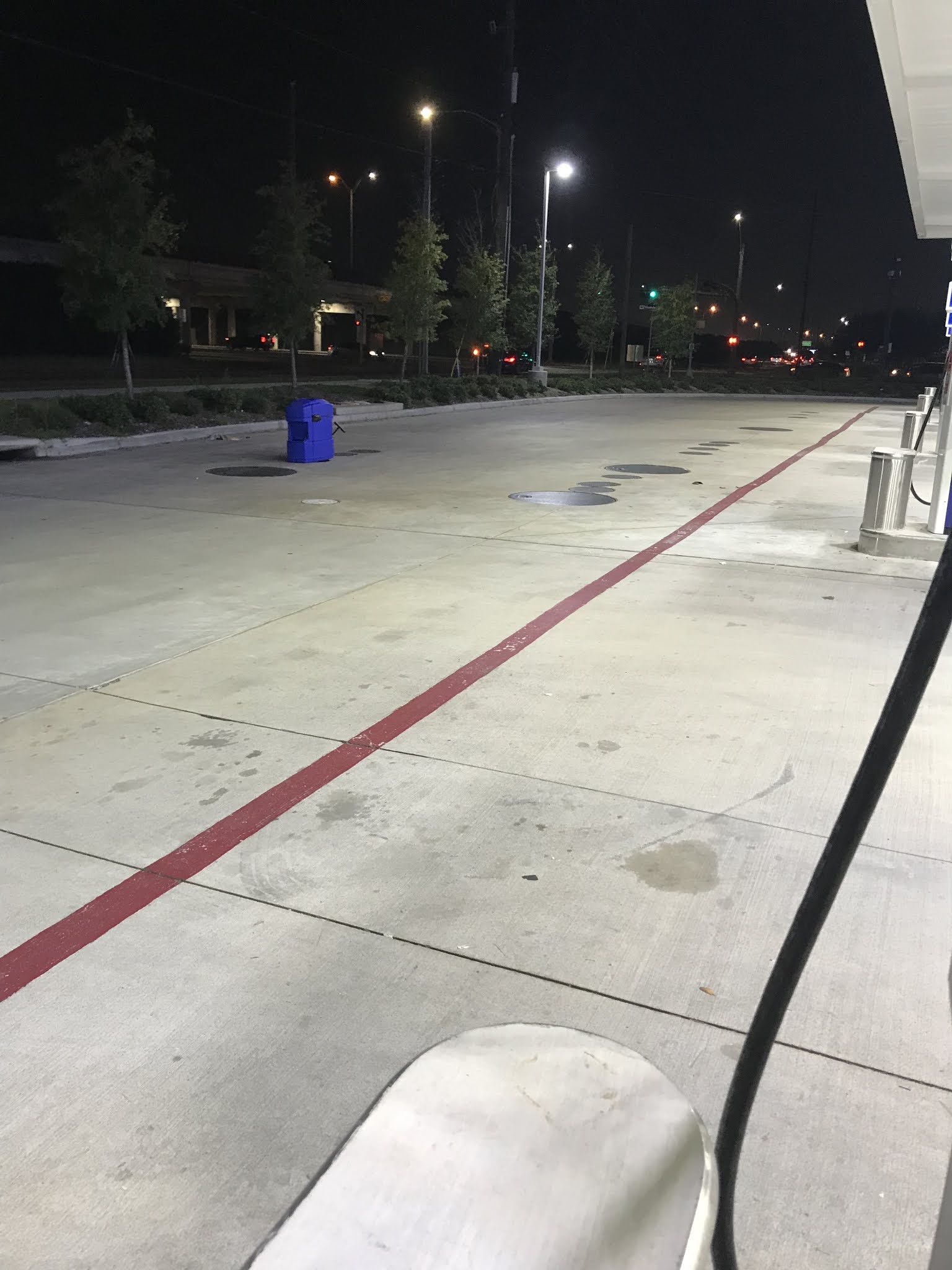
At a gas station getting gas in northwest Houston, TX, during the early night.
Summary: The sky looked to be almost clear with scattered altostratus clouds, throughout the day. The wind speeds were calm with maybe some occasional moderate gusts. It felt warm during the morning evening, and night. It felt very warm during the afternoon but hot inside where I work in the heights because our air-condition did not work. There was 0 percent chance for rain for the Housotn, TX area. I did not see or hear about any rain falling anywhere in the Houston, TX area. I did not see, or feel any rain ,where I was, during any time of the day.
Issued by NWS Houston/Galveston, TX
Versions: 1 2 3 4 5 6 7 8 9 10 11 12 13 14 15 16 17 18 19 20 21 22 23 24 25 26 27 28 29 30 31 32 33 34 35 36 37 38 39 40 41 42 43 44 45 46 47 48 49 50
000
FXUS64 KHGX 132340
AFDHGX

Area Forecast Discussion
National Weather Service Houston/Galveston TX
Issued by National Weather Service Corpus Christi TX
640 PM CDT Tue Oct 13 2020

.DISCUSSION...Updated aviation discussion for 00z TAF cycle.


&&

.AVIATION...
VFR conditions continue across southeast Texas. Latest guidance is
much less aggressive with fog and low stratus development, so have
removed it from all except coastal terminals, where MVFR vsbys
remain possible around daybreak. Conditions in any event will
resume VFR shortly after sunrise. Winds will remain light through
the period.

&&

.PREV DISCUSSION... /ISSUED Issued by National Weather Service Corpus Christi TX/

DISCUSSION...

Note Aviation discussion below corresonding to the 21Z update

AVIATION...

Continue to expect a transition to a mixture of clouds and
mist/fog early Wednesday morning, with a mixture of IFR/LIFR
visibilities/ceilings confined to the western sections (including
CLL, LBX, and SGR) during the 08-14 Wednesday period. However,
recent determinstic NWP model output suggest similar conditions at
GLS, yet will defer to next shift to make final determination.
Otherwise, MVFR/VFR conditions are expected elsewhere during the
08-14z Wednesday period. A steady transition to VFR conditions are
expected by late morning Wednesday. Generally light wind during
the TAF period.

PREV DISCUSSION... /ISSUED 343 PM CDT Tue Oct 13 2020/

SHORT TERM [Tonight Through Wednesday Night]...

High pressure setting over the region with a weak/nearly stationary
front draped over the far coastal waters or a little further
offshore but the flow is so weak that the seabreeze has pushed back
inland along the immediate coast already this afternoon. The airmass
continues to modify quickly over the Gulf and dewpoints at the coast
have crept back up into the lower 70s. Mostly sunny skies prevail
across the region with a few shallow CU south of the I-69 corridor
as well as haze...plenty of reports of the milky skies. These hazy
conditions came in behind the front yesterday afternoon and were
likely due to north Texas/OK dust getting picked up by the stronger
winds and drier conditions up there yesterday.

Overnight tonight expecting cool temperature readings across the
north 55-60 and mild near the coast 66-70 with continued mostly
clear to clear skies. This high pressure system weakens and shifts
east allowing for a more southeasterly flow to develop Wednesday
with warmer and more humid conditions to take hold as a surface low
will be developing in the NWTX/OK Panhandle area. The low tracks
east and a stronger cold front pushes down into the Dallas area by
around sunrise Thursday morning. Over SETX expect Wednesday night to
be warmer with the development of a SC deck in the western areas and
increase in high cloudiness as a upper level speed max races east
into the area. Some patchy fog in the more rural locations mainly
east of an Angleton to Conroe to Livingston line may be possible if
the mixing overnight doesn`t win out out and help to expand the
threat of a larger SC deck.

45

LONG TERM [Thursday Through Tuesday]...

Our main weather story in the extended period continues to be the
approach of a cold frontal boundary on Thursday evening into
Friday morning, which should provide SE TX with a more fall-like
weekend than the record-setting heat of the past several days.
12Z suite of global model runs showing a bit of a slower boundary
passage than days prior, though should still reaching the Brazos
Valley just after sunset on Thursday, clearing the metro area
overnight and moving offshore on Friday morning. With the
redevelopment of onshore flow on Wednesday providing more
favorable near-surface moisture (total PWs still look to reach
above 1.0 in or thereabouts), convergence along the advancing
boundary should produce scattered showers overnight on Friday.
With the slower FROPA trend today, wouldn`t necessarily be a
surprise to see some activity lingering into Friday morning,
though the weekend in general is looking like a rather pleasant
one. Behind the departing front, moderate to strong northerlies
will develop, allowing for a stronger surge of cooler and drier
air to filter into the area that we saw with the weaker front
yesterday. Daytime highs on Friday are unlikely to eclipse the low
70s across SE TX, and overnight lows in the upper 40s to mid 50s
with dew points in the low to mid 40s will allow for a pleasant
autumn night.

A slight warming trend is expected through the remainder of the
weekend as a surface high centered over the southern Plains drifts
eastward, which should allow for surface winds to gradually
develop a more southerly component and eventually lead to the
return of a more steady onshore wind by Sunday. As a whole,
though, conditions should remain fairy benign through the end of
the weekend with daytime highs only reaching as high as the low to
mid 80s with mostly sunny skies and light to moderate winds.

Substantial disagreement regarding the overall synoptic pattern
for the beginning of next week among global models makes the end
of the extended period a rather uncertain one. Case in point, the
12Z GFS places a strong 1036mb high over northern KS/southern NE
which proves favorable for the arrival of a second cold frontal
boundary on late Sunday, with high pressure dominating the central
CONUS in the days following. Conversely, the 12Z ECMWF develops a
1002 mb low in the same region with no frontal passage during this
time. Given the recent emergence of this feature in the GFS, have
opted to side with the national blends/EC for now, though this is
something to be watched closely in the coming days.

Cady

AVIATION [18Z TAF Issuance]...
/ISSUED Issued by National Weather Service Corpus Christi TX/

Predominate VFR this afternoon/evening is expected to transition
to a mixture of clouds and mist/fog early Wednesday morning. In
particular, anticipate a mixture of IFR/LIFR visibilities/ceilings
over the SW section (e.g. LBX, SGR), yet MVFR/VFR elsewhere,
during the 08-14z Wednesday period. Expect a steady transition to
VFR areawide by late morning Wednesday. Generally light wind
during the TAF period.

MARINE...

Onshore winds redevelop across the coastal waters by tomorrow
afternoon, though conditions should stay well below caution
criteria with wind speeds of around 10 knots and 1-2 foot seas.
The potential for more hazardous marine conditions comes on Friday
with the approach of a surface cold front overnight on Thursday.
Behind the departing boundary, wind gusts up to 30 knots with seas
of around 5 to 7 feet are expected to develop. This is likely to
require the issuance of a Small Craft Advisory on Friday.

Cady

&&

.PRELIMINARY POINT TEMPS/POPS...
College Station (CLL)      60  89  67  87  59 /   0   0   0   0  30
Houston (IAH)              62  87  67  88  62 /   0   0   0   0  30
Galveston (GLS)            72  81  74  83  66 /   0   0   0   0  30

&&

.HGX WATCHES/WARNINGS/ADVISORIES...
TX...NONE.
GM...NONE.
&&

$$

Discussion...99
Aviation/Marine...99
Air Quality Alert
TXZ213-237-238-313-337-338-437-438-141945- AIR QUALITY ALERT MESSAGE TEXAS COMMISSION ON ENVIRONMENTAL QUALITY RELAYED BY NATIONAL WEATHER SERVICE HOUSTON/GALVESTON TX 231 PM CDT Tue Oct 13 2020 ...Ozone Action Day For Wednesday... The Texas Commission on Environmental Quality (TCEQ) has issued an Ozone Action Day for the Houston, Galveston, and Brazoria areas for Wednesday October 14th. Atmospheric conditions are expected to be favorable for producing high levels of ozone pollution in the Houston, Galveston and surrounding areas on Wednesday. You can help prevent ozone pollution by sharing a ride, walking, riding a bicycle, taking your lunch to work, avoiding drive through lanes, conserving energy and keeping your vehicle properly tuned. For more information on ozone: Ozone: The Facts www.tceq.texas.gov/airquality/monops/ozonefacts.html EPA AIR NOW: www.airnow.gov/index.cfm?action=airnow.local_city&cityid=236 Take Care Of Texas: www.takecareoftexas.org/air/airquality $$
No comments:
Post a Comment