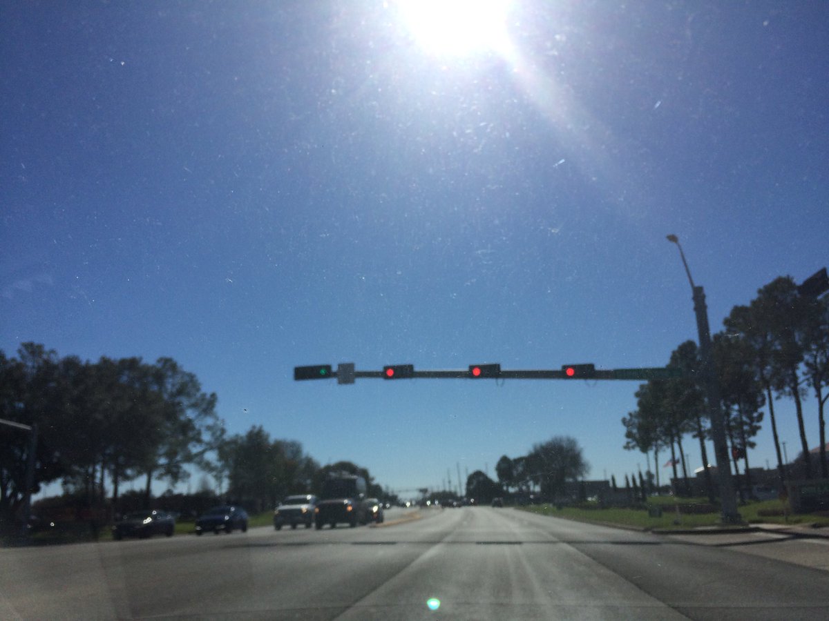
Northwest Houston, TX, during the early afternoon.
Locations: Northwest Houston, TX
Thoughts: The day was cool and sunny. Not enough time to write the weather summary for this day.
Area Forecast Discussion
Issued by NWS Houston/Galveston, TX
Issued by NWS Houston/Galveston, TX
Versions: 1 2 3 4 5 6 7 8 9 10 11 12 13 14 15 16 17 18 19 20 21 22 23 24 25 26 27 28 29 30 31 32 33 34 35 36 37 38 3940 41 42 43 44 45 46 47 48 49 50
000
FXUS64 KHGX 130517
AFDHGX

Area Forecast Discussion
National Weather Service Houston/Galveston TX
1117 PM CST Fri Jan 12 2018

.AVIATION...
N/NE winds continue to fall below 10kts across all TAF sites this
evening besides GLS which has seen some gusts up to 20 kts right
along the coast. Surface high pressure continues to build into the
region tonight keeping skies clear, and VFR conditions are
anticipated through the TAF period. Still expecting to see wind
speeds pick up shortly after sunrise to around 10-15 kts with the
help of daytime mixing.

Hathaway

&&

.PREV DISCUSSION... /ISSUED 906 PM CST Fri Jan 12 2018/

UPDATE...
Surface ridging nosing into Southeast Texas continues to result
in decreasing winds this evening with 9 PM temperatures in the
mid 30s to lower 40s. Clear skies will help promote excellent
radiational cooling with a few locations north of a Burleson-
Conroe-Cleveland line experiencing a brief, hard freeze tonight.
The current forecast handles temperature trends well with most
inland locations experiencing freezing or below freezing
temperatures tonight. However, the currently forecast 1-2 hour
drop to hard freeze temperatures (25 F or below) around sunrise
is too brief to issue a Hard Freeze Warning at this time. Should
temperatures begin to drop off faster than anticipated, a late
evening update may be needed to issue a Hard Freeze Warning.

Huffman

PREV DISCUSSION... /ISSUED 536 PM CST Fri Jan 12 2018/

AVIATION...
VFR conditions will prevail through the TAF period as high
pressure continues to build into SE TX this evening. Wind speeds
have began to lower and should continue to fall below 10 kts
across all TAF sites, shortly after sunset. The wind direction
should switch from NNW to NE overnight, once again turn out of
the N/NW come sunrise Saturday morning. Wind speeds again will
approach 10 kts across most of the inland TAF sites Saturday
morning, with 10-15 kts possible at coastal terminals such as GLS.

Hathaway

PREV DISCUSSION... /ISSUED 336 PM CST Fri Jan 12 2018/

DISCUSSION...
A dry, but cold weekend is in store across the region. Most inland
locations will see freezing overnight temperatures tonight and
Saturday night. A few areas northeast of a Burleson-Cleveland line
may see readings briefly dip to around 24 degrees tonight. We`re
not planning to issue a hard freeze warning at the moment, but
will let the next shift reevaluate the trends.

Winds gradually veer to an onshore direction on Sunday...allowing
for a return of moisture to the region through the day Monday
ahead of an Arctic front that`ll be diving southward through the
Plains.

Models are in fairly good agreement bringing the frontal boundary,
and associated precipitation ahead of and behind it, into
southeast Texas late Monday night and Tuesday. It`s still too
early to accurately predict the thermal profile at the surface and
aloft that far out, but chances are that portions of the area may
see precip transition from liquid to frozen at some point as
temperatures fall through the day. Expect changes to the forecast
as time gets closer, details become more clear (hopefully), and
forecast confidence improves.

Precip should come to an end Tuesday evening. Cold temperatures will
linger through the midweek time period, followed by gradual moderating
trend going into the weekend as onshore winds resume.  47

MARINE...
Gusty NNW winds will continue to gradually diminish and become NE
through Saturday. A Small Craft Advisory remains in effect this
afternoon, with caution flags likely needed through Saturday. Winds
gradually become light onshore again by Sunday night ahead of the
next cold front, which should push off the coast around Monday
night. Gusty NE winds are expected in the wake of this front, and an
SCA will likely be required Tuesday. Winds gradually become onshore
again by Thursday.

The Low Water Advisory has been extended until 4 AM CST as water
levels remain over 2.5 feet below normal at Morgan`s Point.
Conditions should gradually improve as winds slacken and turn more N
to NE tonight.  11

&&

.PRELIMINARY POINT TEMPS/POPS...
College Station (CLL)      26  47  27  52  36 /   0   0   0   0   0
Houston (IAH)              29  49  28  52  36 /   0   0   0   0   0
Galveston (GLS)            35  49  37  50  46 /   0   0   0   0   0

&&

.HGX WATCHES/WARNINGS/ADVISORIES...
TX...NONE.
GM...Low Water Advisory until 4 PM CST Saturday for the following
     zones: Galveston Bay...Matagorda Bay.

     SMALL CRAFT SHOULD EXERCISE CAUTION through Saturday afternoon
     for the following zones: Coastal waters from Freeport to
     the Matagorda Ship Channel out 20 NM...Coastal waters from
     High Island to Freeport out 20 NM...Galveston Bay...Waters
     from Freeport to the Matagorda Ship Channel from 20 to 60
     NM...Waters from High Island to Freeport from 20 to 60 NM.

&&

$$

Discussion...14
Aviation/Marine...08
Hazardous Weather Outlook
Hazardous Weather Outlook
National Weather Service Houston/Galveston TX
428 AM CST Fri Jan 12 2018

GMZ330-335-350-355-370-375-TXZ163-164-176>179-195>200-210>214-226-
227-235>238-131300-
Austin-Brazoria-Brazos-Burleson-Chambers-
Coastal waters from Freeport to the Matagorda Ship Channel out
20 NM-Coastal waters from High Island to Freeport out 20 NM-
Colorado-Fort Bend-Galveston-Galveston Bay-Grimes-Harris-Houston-
Jackson-Liberty-Madison-Matagorda-Matagorda Bay-Montgomery-Polk-
San Jacinto-Trinity-Walker-Waller-Washington-
Waters from Freeport to the Matagorda Ship Channel from 20 to
60 NM-Waters from High Island to Freeport from 20 to 60 NM-
Wharton-
428 AM CST Fri Jan 12 2018

This hazardous weather outlook is for portions of Southeast Texas.

.DAY ONE...Today and Tonight

It will be breezy and cold today with winds decreasing as the day
progresses. Several hours of freezing temperatures can be expected
tonight across a majority of inland Southeast Texas.

.DAYS TWO THROUGH SEVEN...Saturday through Thursday

Another night of freezing temperatures can be expected Saturday night
through Sunday morning. The next cold front is anticipated to move through
the area Monday night through Tuesday morning. There is a chance that
some precipitation could become frozen across parts of our northern
counties as temperatures fall behind the front.

.SPOTTER INFORMATION STATEMENT...

Spotter activation might be needed Monday night through Tuesday
morning.

$$
No comments:
Post a Comment