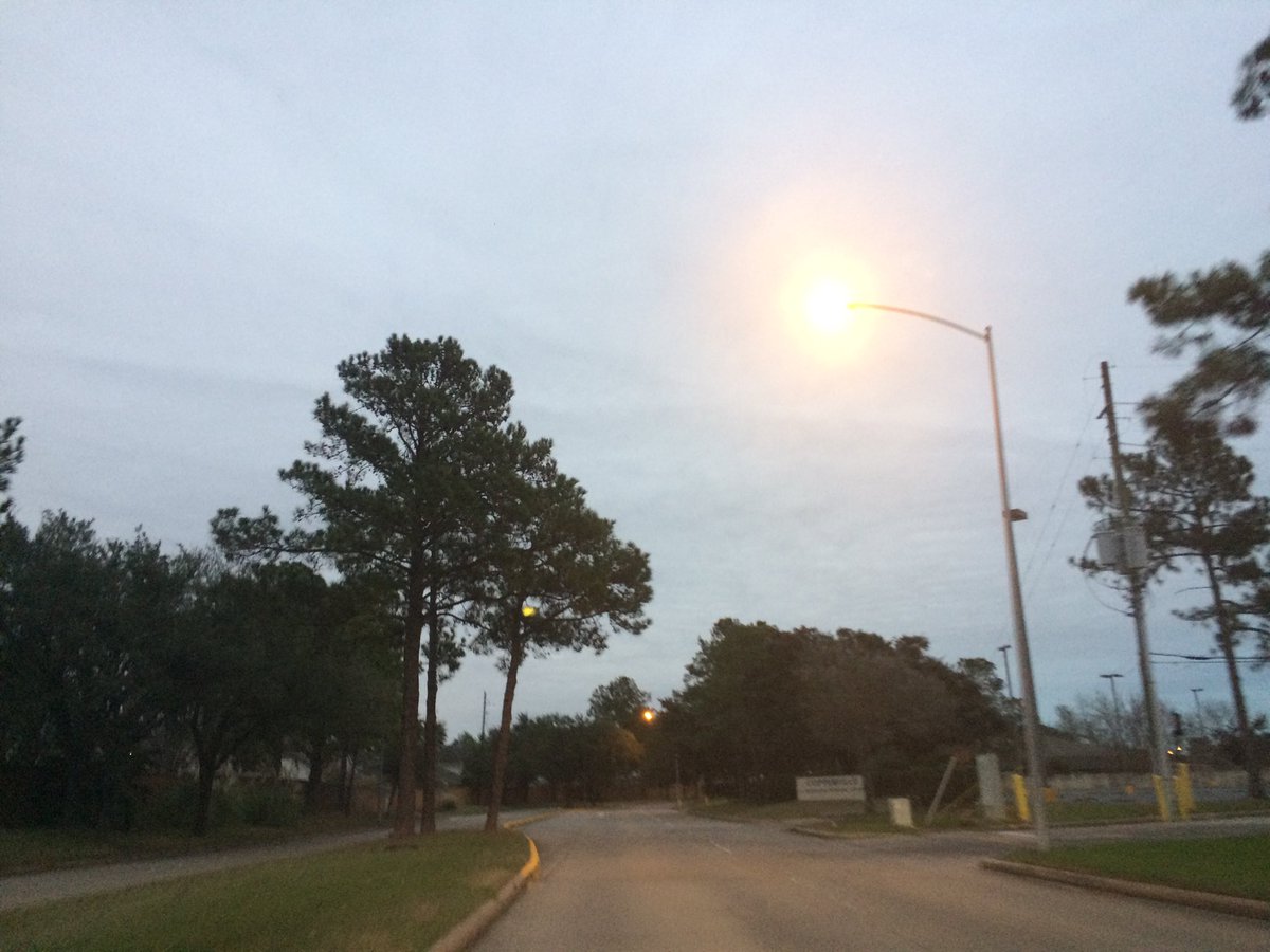
Northwest Houston, TX, during the early morning.
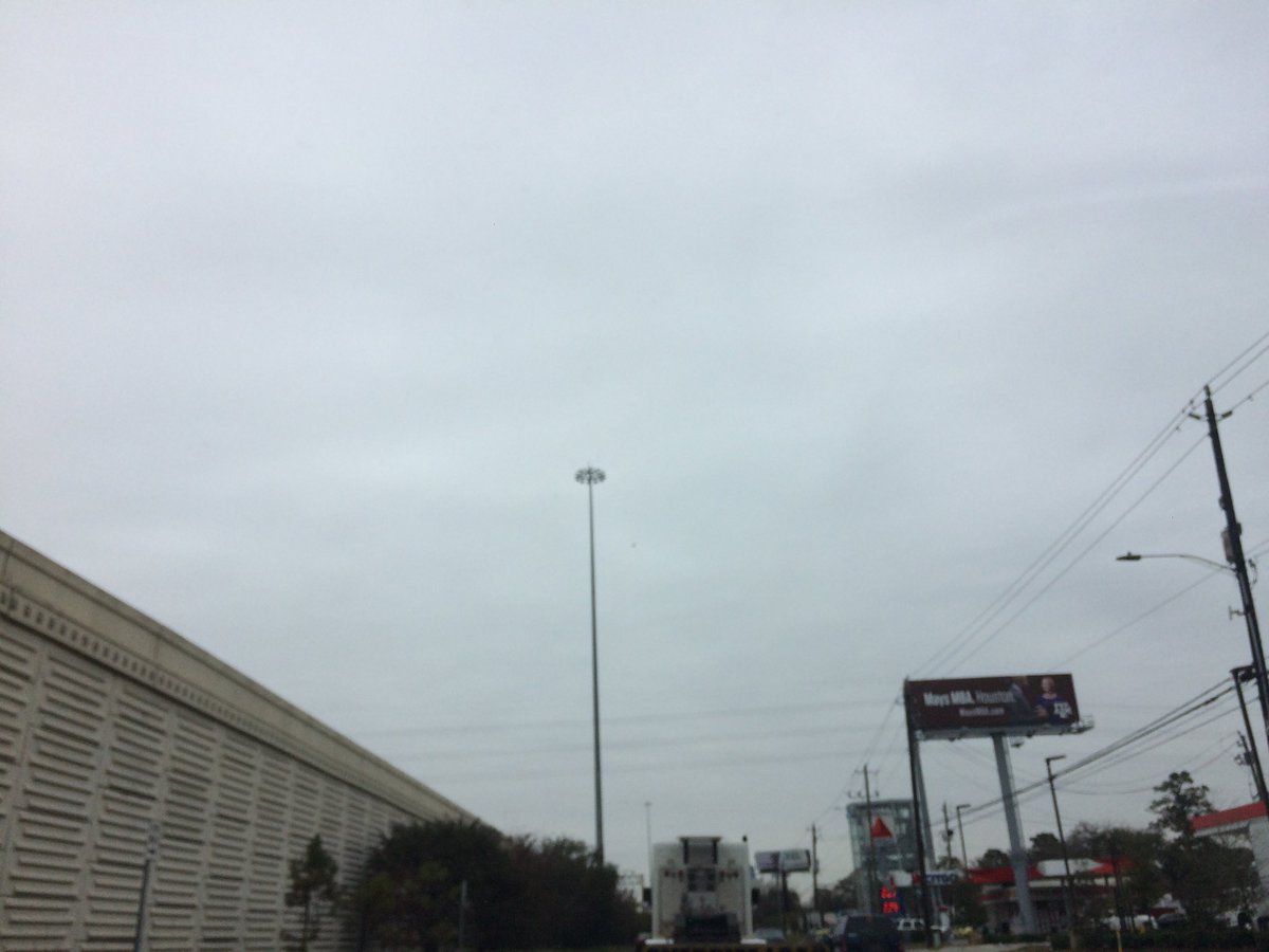
West Houston, TX, during the early afternoon.
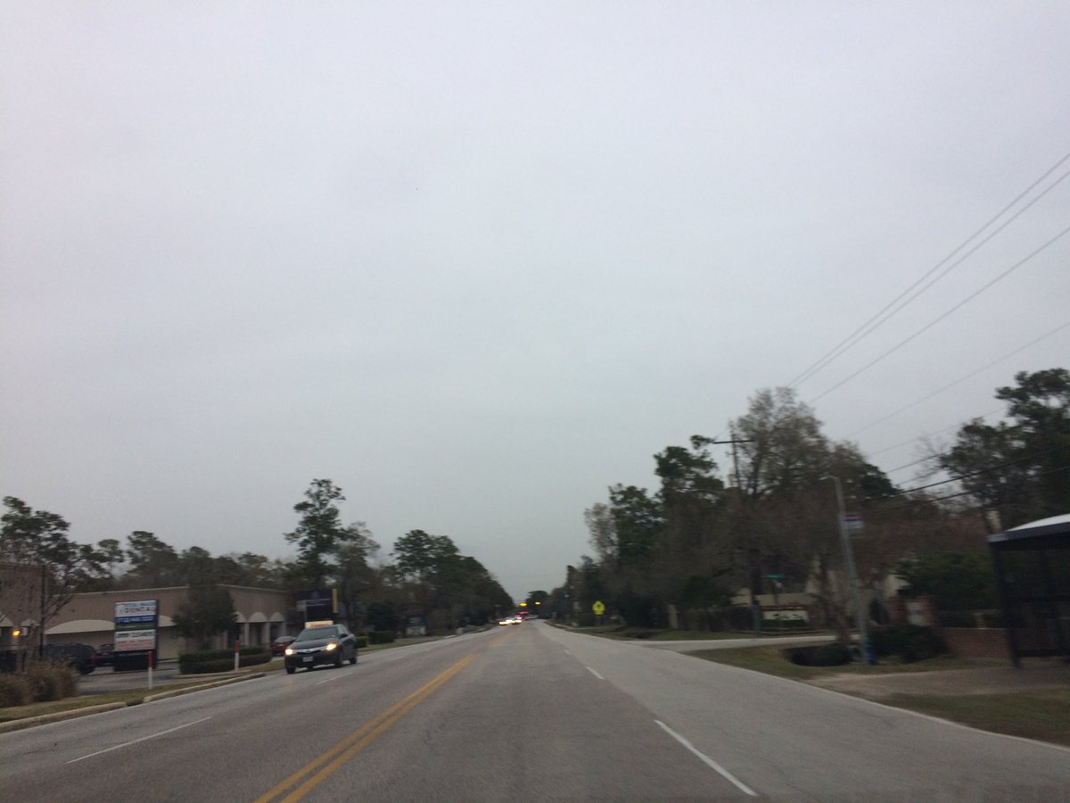
West Houston, TX, during the early evening.
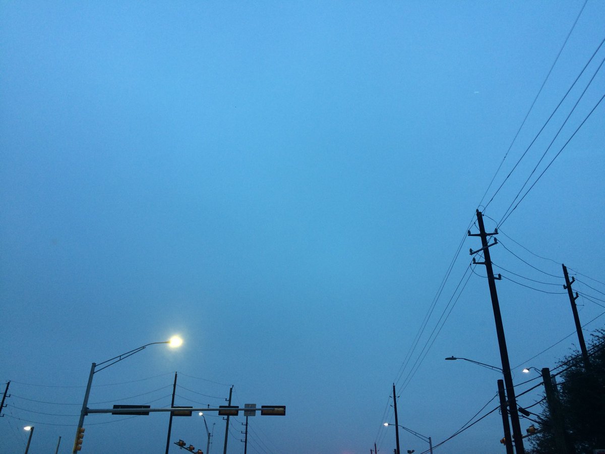
Northwest Houston, TX, during the late evening.
Summary: The day was freezing, cloudy, and dry. Some recorded snowflakes during the early and maybe late night, for some locations in the Houston, TX area. I didn't see, feel, or hear any drops of precip. The sky looked to have stayed completely covered in stratus clouds, during the morning, afternoon, evening, and night. I think the wind speeds looked to be calm with gentle to moderate gusts with maybe some moderately strong gusts. It felt freezing, during the early and mid-morning, late evening, and night. It felt very cold, during the late morning and afternoon. There was a Hard Freeze Warning and a Hazardous Weather Outlook issued for the Houston, TX by NOAA. There were no other watches, warnings, alerts, advisories, or weather statements/outlooks issued for the Houston, TX area, that I know of. The low temperatures looked to be in the low 30's with maybe some high 20's and the high temperatures looked to be in the low 30's, I think with maybe some mid 30's, for the Houston, TX area.
Houston, TX Storm Summary: Some recorded snowflakes during the early and maybe late night, for some locations in the Houston, TX area. There were no reports of flooding, ice, or damage caused by the weather, in any of the locations in the Houston, TX area, during anytime of the day.
My Storm Summary: I didn't see, feel, or hear any drops of precip. The clouds looked like they wanted to produce some drops. I didn't see any wet roads, puddles, or ground. I didn't see any flashes of lightning, or hear any rumbles of thunder. I didn't see any flooding, or damage caused by the weather.
Locations: Northwest and west Houston, TX.
Thoughts: It was a very cold day. Maybe the coldest day in Houston, TX that I have felt so far.
Hard Freeze Warning
URGENT - WEATHER MESSAGE
National Weather Service Houston/Galveston TX
332 PM CST Tue Jan 2 2018

...Hard Freeze Warning Remains In Effect...

.The significant cold snap enveloping Southeast Texas continues.
Hard freeze conditions are expected as far south as the general
vicinity of Interstate 10 both tonight. Cold weather will
continue later into the week, but a smaller area will require a
hard freeze warning in following nights.

TXZ163-164-176>179-195>200-210>214-227-030545-
/O.CON.KHGX.HZ.W.0001.000000T0000Z-180103T1500Z/
Austin-Brazos-Burleson-Chambers-Colorado-Fort Bend-Grimes-Harris-
Houston-Liberty-Madison-Montgomery-Polk-San Jacinto-Trinity-
Walker-Waller-Washington-
Including the cities of Anahuac, Bellville, Brenham, Brookshire,
Bryan, Caldwell, Cleveland, Coldspring, College Station,
Columbus, Conroe, Corrigan, Crockett, Dayton, Eagle Lake,
Groveton, Hempstead, Houston, Humble, Huntsville, Katy,
Lake Somerville, Liberty, Livingston, Madisonville,
Missouri City, Mont Belvieu, Navasota, Onalaska, Pasadena,
Prairie View, Richmond, Rosenberg, Sealy, Shepherd, Sugar Land,
The Woodlands, Tomball, Trinity, Weimar, Willis, and Winnie
332 PM CST Tue Jan 2 2018

...HARD FREEZE WARNING REMAINS IN EFFECT UNTIL 9 AM CST
WEDNESDAY...

* EVENT...Temperatures below 25 for two hours or more. Areas
  farther north are expected to see a longer duration of these
  temperatures.

* TIMING...The most likely window for sub-25 temperatures will be
  between midnight tonight and 9 AM Wednesday.

* IMPACT...Hard freeze conditions will kill sensitive vegetation
  and could cause damage to exposed pipes. People and pets
  without proper protection and/or shelter will be vulnerable to
  hypothermia.

PRECAUTIONARY/PREPAREDNESS ACTIONS...

A Hard Freeze Warning means sub-freezing temperatures are
imminent or highly likely. These conditions will kill crops and
other sensitive vegetation.

&&

$$
Hazardous Weather Outlook
Hazardous Weather Outlook
National Weather Service Houston/Galveston TX
435 AM CST Tue Jan 2 2018

TXZ163-164-176>179-195>200-210>214-226-227-235>238-031045-
Austin-Brazoria-Brazos-Burleson-Chambers-Colorado-Fort Bend-
Galveston-Grimes-Harris-Houston-Jackson-Liberty-Madison-Matagorda-
Montgomery-Polk-San Jacinto-Trinity-Walker-Waller-Washington-
Wharton-
435 AM CST Tue Jan 2 2018

This hazardous weather outlook is for portions of Southeast Texas..

.DAY ONE...Today and Tonight

Very cold temperatures will prevail today and tonight with most
areas forecast to struggle to climb out of the 30s. Wind chill
values will fall into the teens this morning and slowly recover
this afternoon. A Hard Freeze Warning remains in effect through
Wednesday morning for areas along and north of I-10. A Wind Chill
Advisory is in effect for the Piney Woods region this morning.

There will be a very slight chance of light rain/sleet near the
coast today, but no accumulation is expected.

.DAYS TWO THROUGH SEVEN...Wednesday through Monday

Very cold temperatures will persist through Thursday morning with
morning low temperatures falling into the 20`s and wind chill
values falling into the teens and low 20`s. A Hard Freeze Warning
is in effect through Wednesday morning. Additional Hard Freeze
Warnings and/or Wind Chill Advisories may be required for parts
of Southeast Texas.

.SPOTTER INFORMATION STATEMENT...

Spotter activation will not be needed.

$$
No comments:
Post a Comment